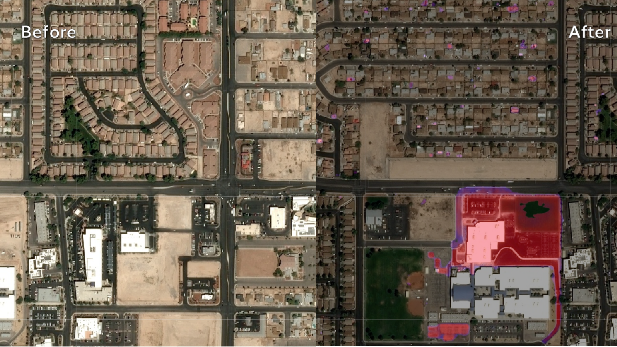
BERLIN, Germany, August 18, 2021 – UP42, a geospatial developer platform and marketplace wholly owned by Airbus, has partnered with Indian startup HyperVerge Inc. to offer satellite imagery services using Artificial Intelligence (AI)-based change detection algorithms.
This is the 11th successful partnership industrialized by Airbus Bizlab in India and the second partnership between HyperVerge and an Airbus entity.
HyperVerge’s automated algorithms will help detect small structural changes to homes and properties for local government tax assessment and code enforcement. They will also help monitor legal and unauthorised construction of roads, buildings and artificial islands in remote regions by federal or defence agencies, and keep GIS maps updated in rapidly growing urban areas. The automated algorithms will detect these changes with a high degree of accuracy by comparing two images acquired on different dates.
“UP42 is excited to launch this partnership with HyperVerge, a company at the forefront of innovation around deep learning and satellite imagery,” said UP42 CEO Sean Wiid. “The sheer volume of satellite imagery makes manual interpretation difficult or even impossible. Algorithms like those developed by HyperVerge that automatically and accurately detect change are of utmost importance for applications ranging from infrastructure monitoring to urban planning.”
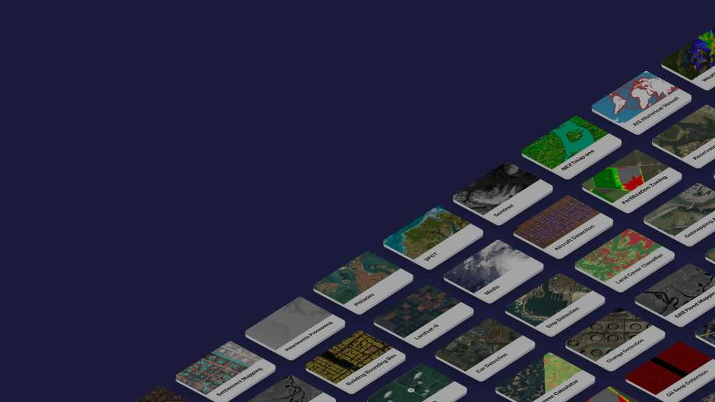
Users of the UP42 platform will gain affordable access to SPOT and Pléiades archives where they can purchase the image data required to cover their area of interest. Leveraging the power of cloud computing, users can then apply HyperVerge algorithms that join more than 130 data and analytics capabilities, to find features, count objects, detect change, uncover patterns, classify land use, and derive vegetative indices.
“HyperVerge is very excited for this partnership with UP42, which is changing the way satellite imagery-based applications are built and consumed,” said HyperVerge CEO Kedar Kulkarni. “Combining the ease of use of the UP42 platform with HyperVerge’s AI algorithms can help enterprises, defense agencies, and governments track changes in assets of interest with a high accuracy in tactically relevant timelines.”
About UP42
UP42 is changing the way geospatial data is accessed and analyzed. The platform and marketplace bring together multiple sources of data such as satellite imagery, weather data, and more—together with algorithms to identify objects, detect change, and find patterns. Industry leaders use UP42 to inform business decisions and build scalable customer solutions. Know when and where to fertilize crops. Measure air quality and map emissions. Count cars, trucks, planes, and ships. Developers and data scientists across all industries now have access to a platform to build, run, and scale projects in one place. Visit www.up42.com.
UP42 Contact:
Viviana Laperchia: [email protected]
About HyperVerge
HyperVerge, Inc. is a Dallas based deep-learning startup funded by NEA, Milliways Ventures and Naya Ventures. HyperVerge has developed patent-pending technology for real-time analysis of images and videos obtained from sources such as satellites, surveillance cameras, industrial cameras, and documents. HyperVerge’s models lead the market with top accuracy values on many important data-sets and are optimized for deployments in real-world low bandwidth environments. Deep-learning networks built by HyperVerge are powering applications for large enterprise clients such as Airbus, Reliance Jio, Vodafone, SBI and other clients across the Defense, Telecom, Banking and Energy sectors.


