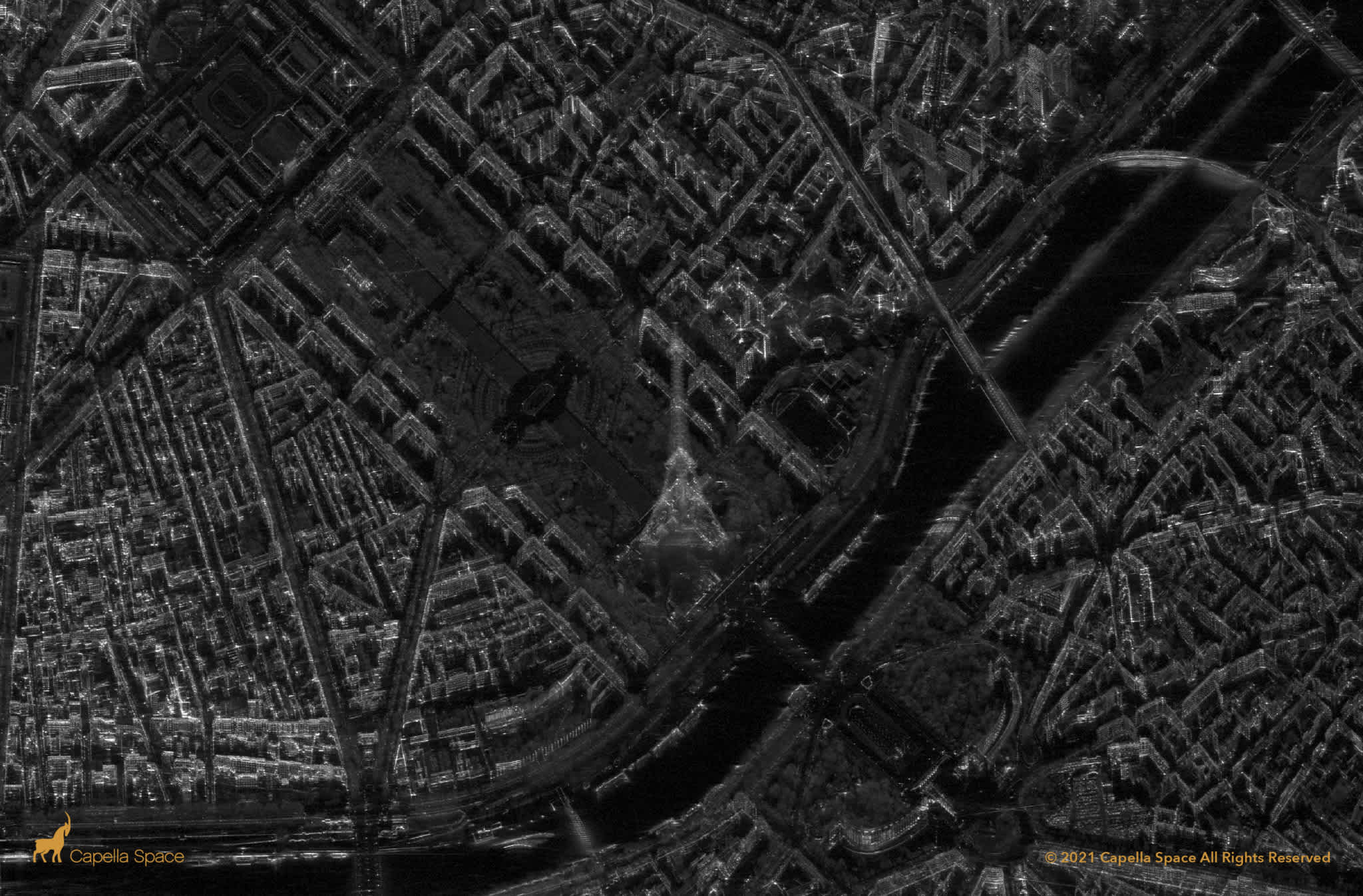
Capella-eiffel-tower

VERY HIGH RESOLUTION SAR IMAGERY

Uncover Hidden Insights with Capella Space Data

Fast, flexible access to very high resolution SAR imagery from both our API and UI

Capella Space on UP42

Get access to the fastest very high-resolution SAR data on the market

UP42 offers transparent pricing and AOI-based purchasing so that you can start using Capella Space data to extract hidden insights without hidden costs.

  • Radiometrically enhanced with up to 0.5m resolution
  • Tasking from API and UI for fast and easy access
  • Scalable infrastructure for running your workflows
  • Weather and light independent
  • Rapid downlink and frequent revisit
  • Flexible, pay-per-use pricing model
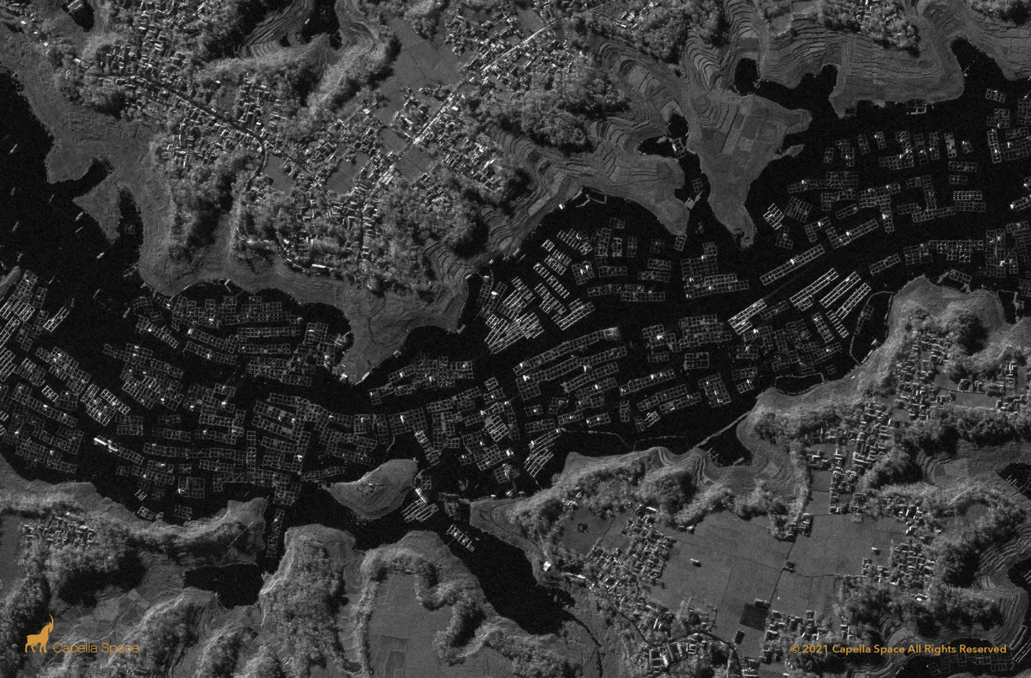
Capella_Fishfarm

The Power Behind Capella Space & UP42

Key Capabilities of Capella Space Data

Ground Resolution
0.5m - 1.2m (dependent
on acquisition mode)
Acquisition Modes
SpotLight, Sliding SpotLight,
or Stripmap
Processing Levels
SLC, GEC, GEO, or SICD
Revisit Rate
5 hour avg
Polarization
Single-Pol HH and Single-Pol VV
Spectral Band
X-band at 9.4 to 9.9 GHz

What Our Customers Are Saying About Capella Space


"Being able to order tasking less than 24 hours before capture unlocks new applications for us. Then, the ability to deliver that imagery within 3 hours of capture helps us delight our customers. We're beyond excited that Capella is now on UP42!"

Advait Kulkarni, Founder and Director of Vasundharaa Geo Technologies

Place an order or learn more

Talk to our team of geospatial experts


Uncover Hidden Insights with Capella Space Data

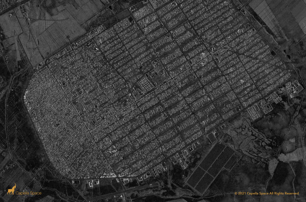
Detecting Risk and Damage

Detecting Risk and Damage

Rapid downlink and frequent revisit, enhanced by UP42’s streamlined tasking services and API-first ordering, make Capella Space data perfect for detecting risk or damage with speed and agility. Meanwhile, with resolutions as high as 0.5m, you can detect changes with exceptional detail.

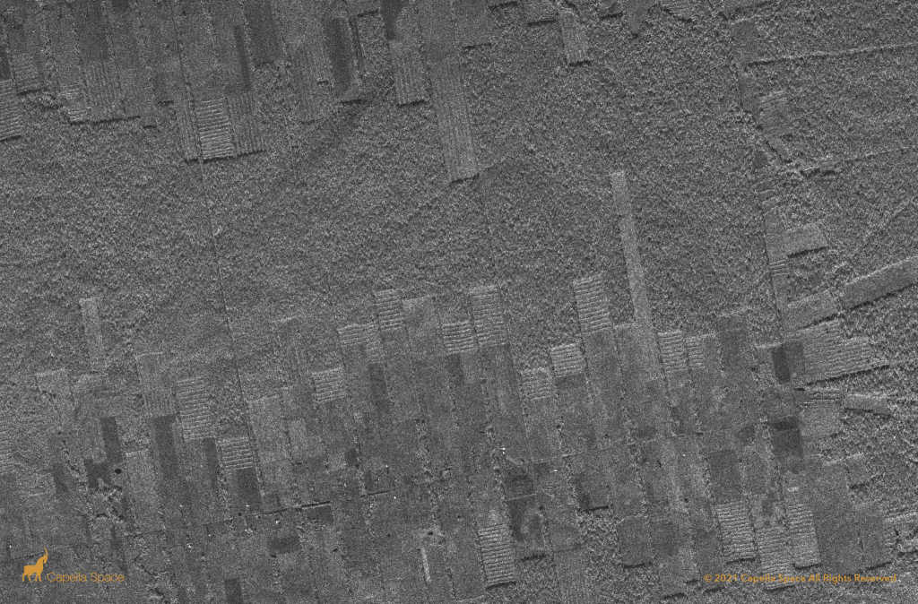
Vegetation Monitoring

Vegetation Monitoring

Capella Space data can be leveraged day or night, rain or shine. Very high resolution SAR data is the perfect solution to tracking deforestation in regions with frequent cloud cover, like rainforests or tropical zones, and for monitoring risky vegetation growth near powerlines in areas seasonally shrouded with darkness, such as very northern and southern latitudes.

Using UP42 Solves Key Geospatial Challenges

Earth observation at its best

Earth observation at its best

With a wide selection of data from VHR imagery, to DEMs, SAR, and more, take your solution to the next level by pairing datasets from our diverse marketplace.

Flexible AOI requirements

Flexible AOI requirements

Take advantage of our low minimum-AOI requirements to only download the specific scene that you need.

Automate your ordering process

Automate your ordering process

UP42 offers a truly developer-first platform for your needs. Leverage REST APIs to fully automate your discovery, ordering, and delivery process.

Transparent, pay-per-use pricing

Transparent, pay-per-use pricing

Our pay-per-use pricing model is simple and transparent, and lets you easily make purchases based on your AOI size.

Scalable infrastructure

Scalable infrastructure

We provide enterprise-grade infrastructure for you to automate your current workflows and solve complex geospatial problems.

A world-class support team

A world-class support team

Our in-house team of geospatial experts will guide you throughout your development journey with contextual insights.

Talk to Our Team of Geospatial Experts

Learn how Capella Space SAR data can add value to your geospatial processes.

Access the UP42 console