Earth observation at its best
With a wide selection of data from VHR imagery, to DEMs, SAR, and more, take your solution to the next level by pairing datasets from our diverse marketplace.
Easy, flexible access to tasking and archive imagery through UP42
Pléiades Neo on UP42
UP42 makes it easy to access Pléiades Neo data and use it as you need it, when you need it. Our console and APIs offer multiple options to order both archive and tasked imagery for your specific AOI.
With a wide selection of data from VHR imagery, to DEMs, SAR, and more, take your solution to the next level by pairing datasets from our diverse marketplace.
Take advantage of our low minimum-AOI requirements to only download the specific scene that you need.
UP42 offers a truly developer-first platform for your needs. Leverage REST APIs to fully automate your discovery, ordering, and delivery process.
Our pay-per-use pricing model is simple and transparent, and lets you easily make purchases based on your AOI size.
We provide enterprise-grade infrastructure for you to automate your current workflows and solve complex geospatial problems.
Our in-house team of geospatial experts will guide you throughout your development journey with contextual insights.
Do you have questions?
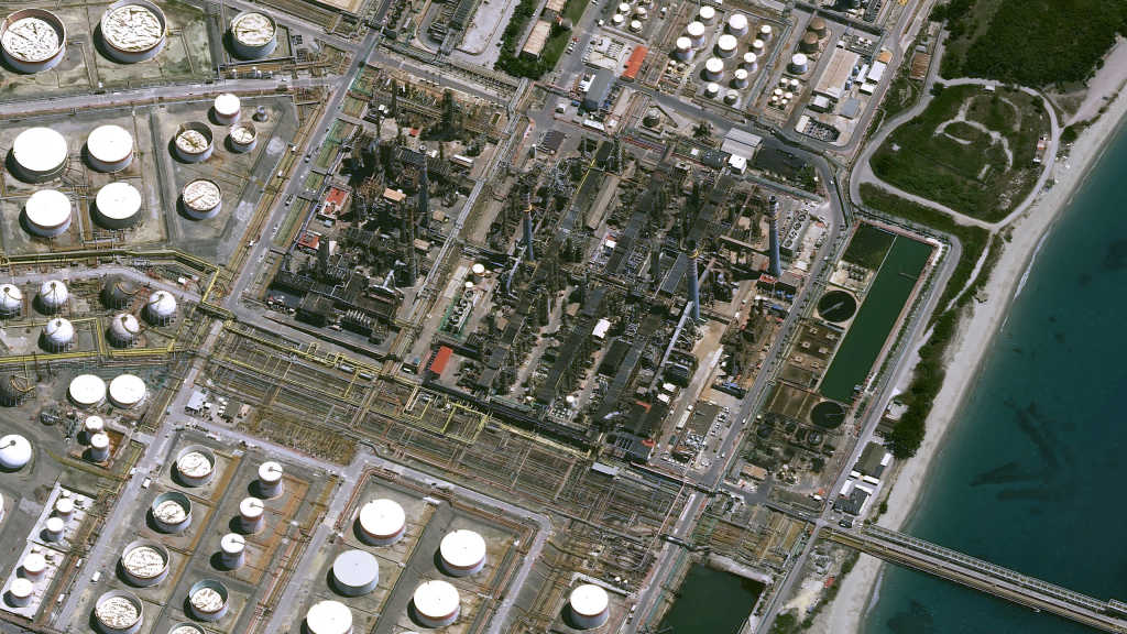
With twice-daily imaging and 30cm native resolution, infrastructure solution providers can keep a close eye on high-value assets, detecting change and yielding actionable insights.
The flexible API-first ordering process combined with rapid data acquisition allows emergency preparedness groups and insurance companies to quickly respond to unplanned events.
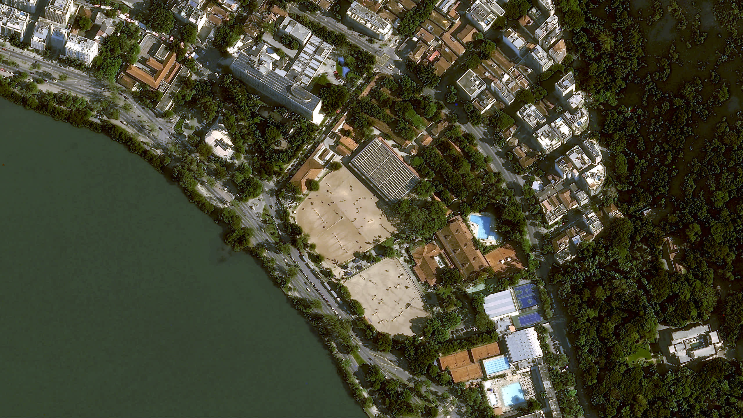
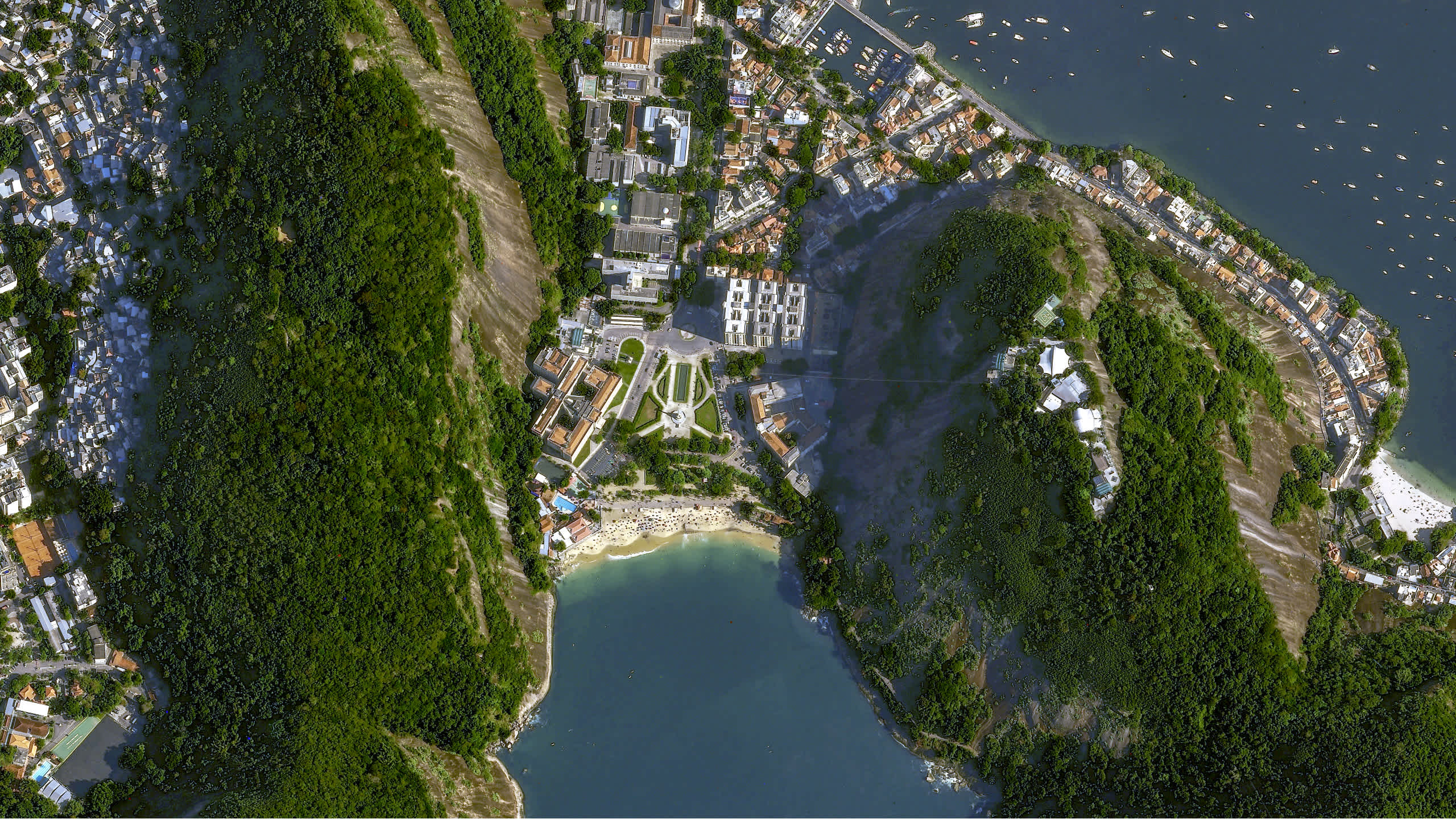
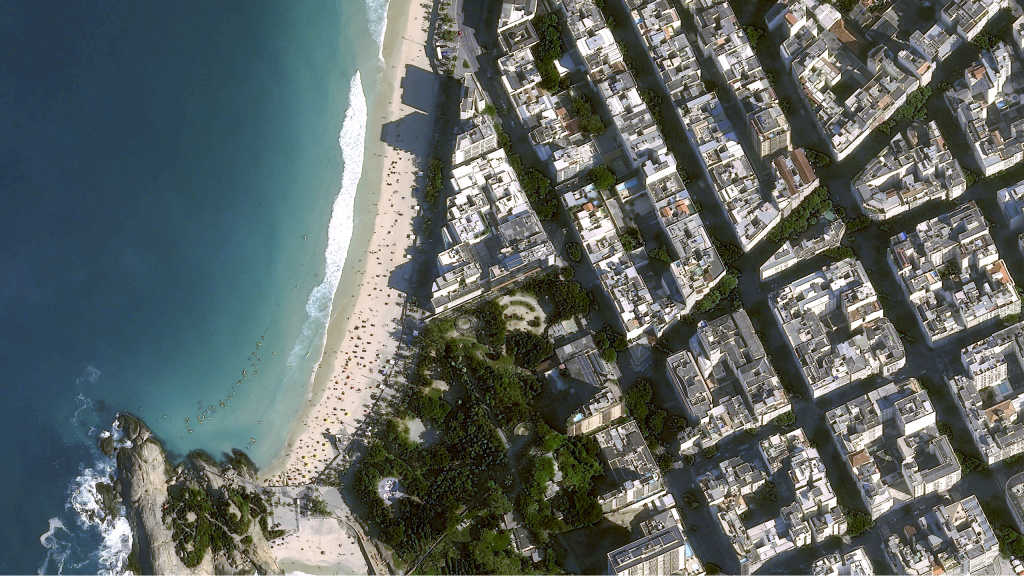
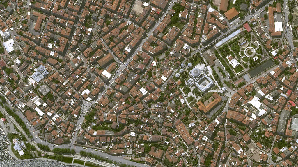
Map densely populated urban landscapes with more accuracy by leveraging very high resolution imagery. Generate highly accurate Digital Elevation Models (DEMs) with stereo imaging.
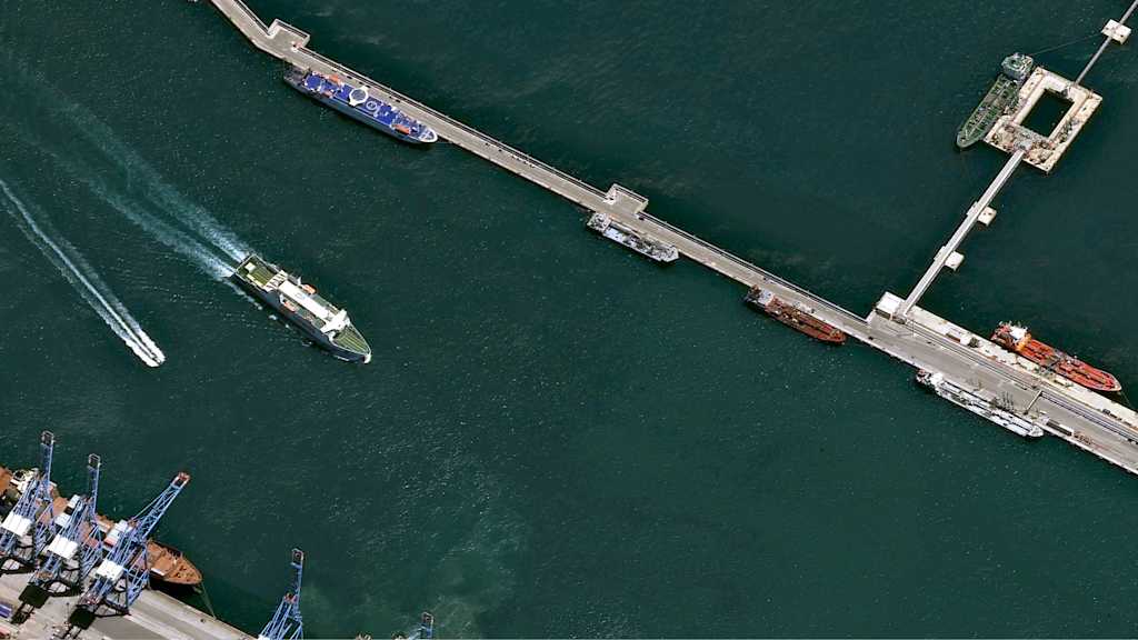
With the new Deep Blue band that penetrates the water column, get advanced insights on depth and water quality. Twice-daily imaging ensures effective port traffic monitoring while very high resolution improves ship detection.
