From imagery to insights: Delivering analysis-ready data
Learn how UP42 and Intermap streamline EO workflows by converting imagery into analysis-ready data to accelerate downstream integrations and insights.
Webinar outline
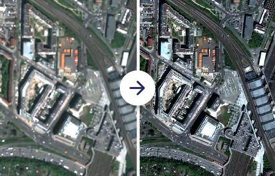
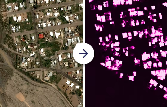
Join UP42 and Intermap for a technical walkthrough on converting remote sensing imagery into standardized analysis-ready data.
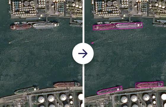
- Automated data standardization: Standardize multi-provider imagery into cloud-native formats for direct ingestion into GIS tools and analytical pipelines.
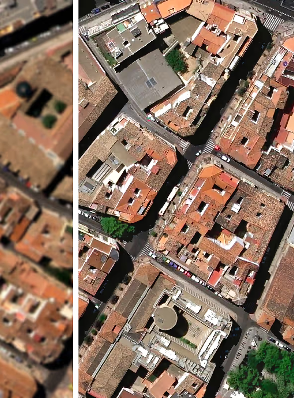
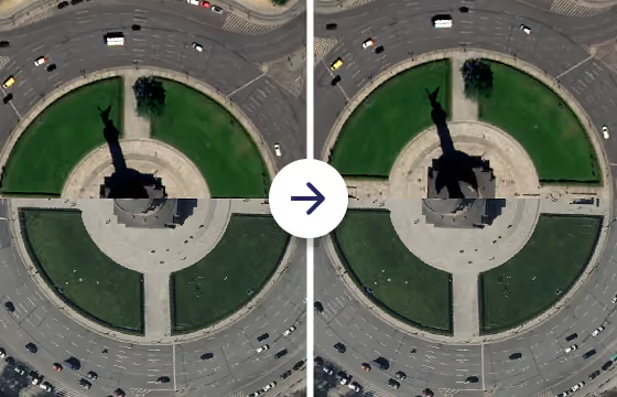
- Precision orthorectification: Watch Intermap demonstrate how NEXTMap 1m DTMs remove terrain displacement to deliver sub-pixel horizontal accuracy.
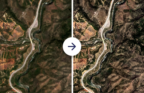
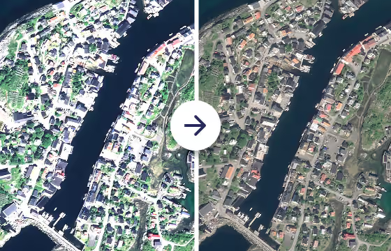
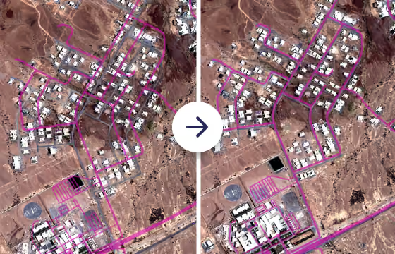
- End-to-end processing: Apply orthorectification, pansharpening, true color conversion, co-registration, and upsampling to increase model performance and cut costs.
Get to know our speakers

Ralph Hope
Chief Technology Officer at Intermap

Gordon Lawrence
Senior Product Manager at UP42
Register now
Have a question?
