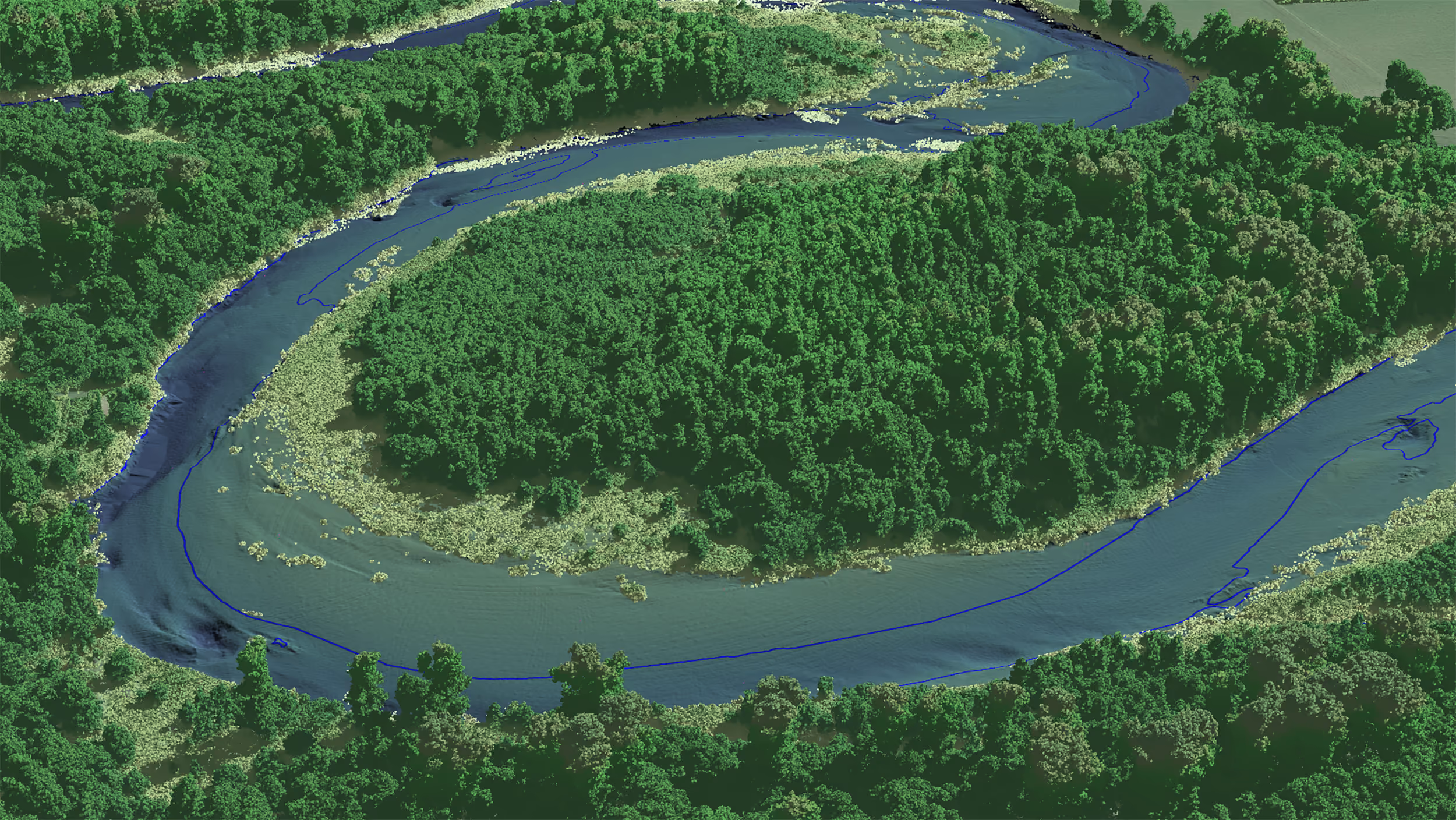
Very high resolution lidar data
LiDAR point clouds give you accurate data for a huge range of use cases, and reduce the need for time-consuming manual field surveys.
High-precision LiDAR data from NV5
NV5's sensors capture point clouds across the continental USA and Canada. LiDAR data is useful for vegetation management, urban mapping, and infrastructure monitoring, helping to streamline workflows and eliminate data inaccuracies.
Why order Lidar data from NV5?
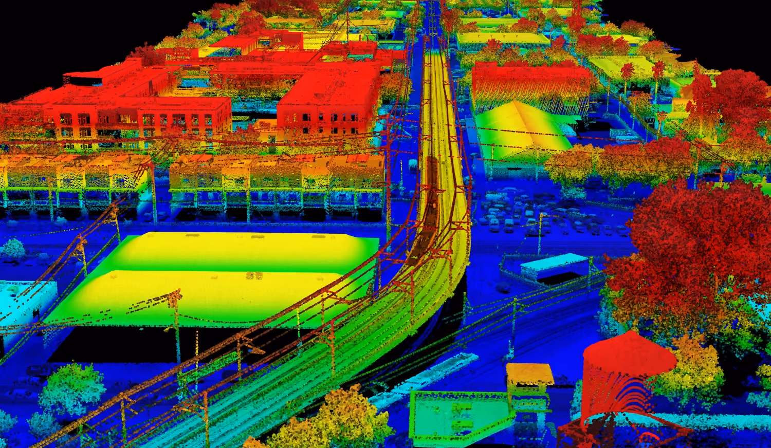
High precision
10 cm vertical and 30 cm horizontal accuracy provide a reliable foundation for detailed Digital Terrain Models and digital twins.
More reliability
Lidar data can be collected at any time of day or night, as it doesn't rely on sunlight, ensuring timely project delivery.
Increased efficiency
Measure distances between foliage and power lines, and reduce the need for costly and time-consuming manual surveys.
Simplified access to satellite imagery
Get high resolution data from different suppliers, all in one place. Sign up and use the catalog search to browse through archive images. Or task a satellite today through the tasking interface.
