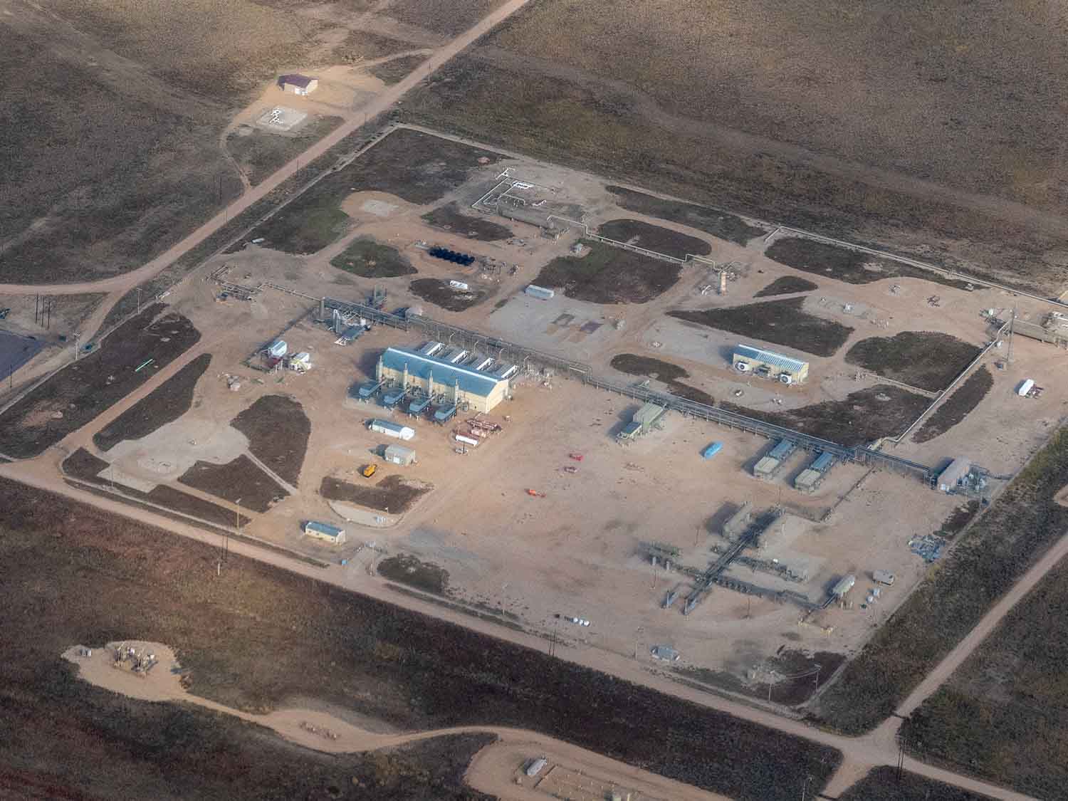
Monitor oil & gas infrastructure
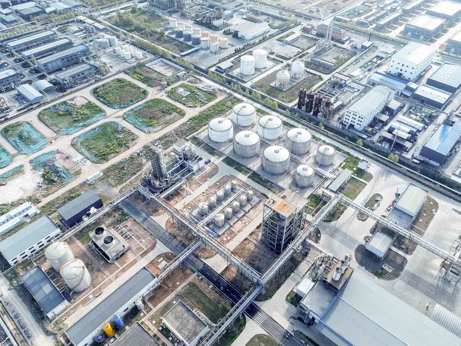
Access high resolution optical, SAR, and hyperspectral data to monitor pipelines, track drilling activity, detect facility issues, and support environmental compliance across your operations. All through a single Earth observation platform.
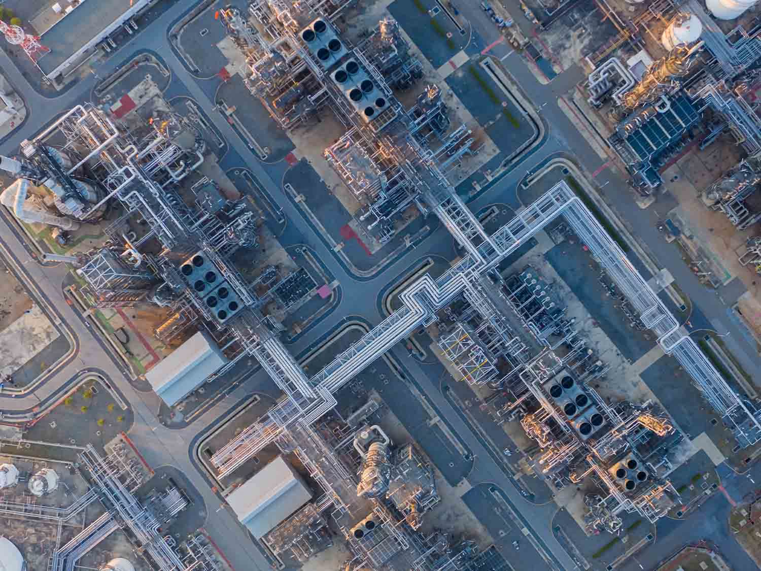
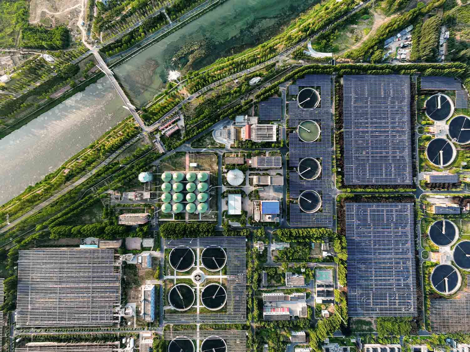
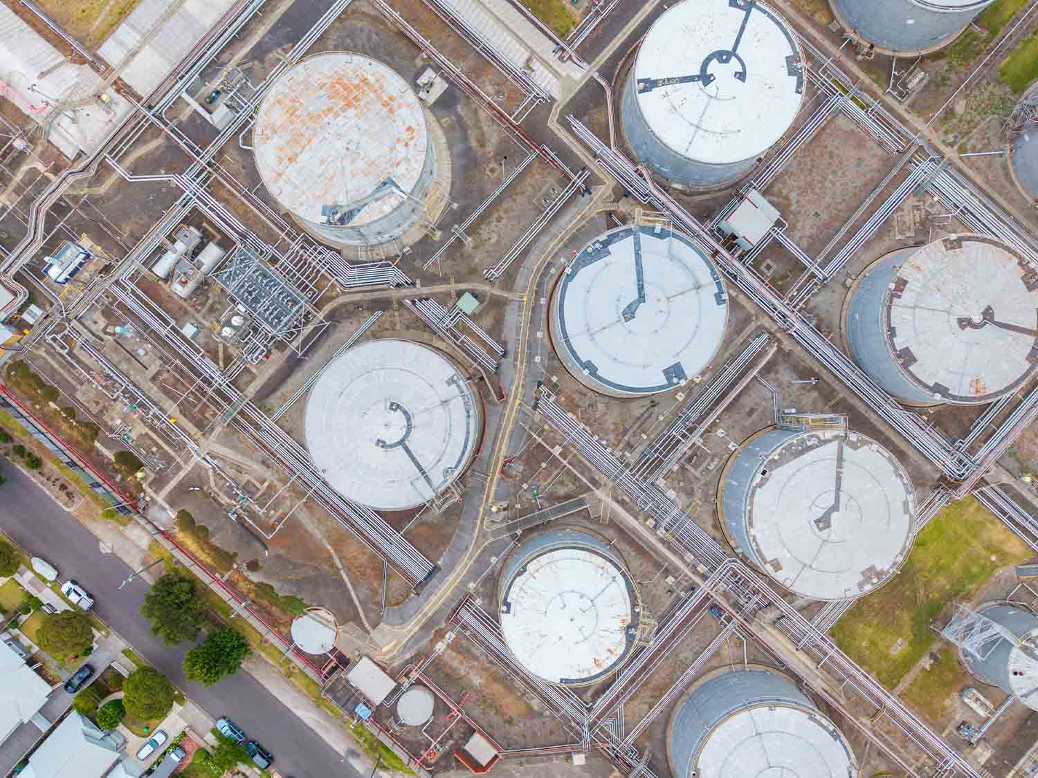
All through a single Earth observation platform.
Is your organization facing similar challenges?

A lot of data, not enough intelligence
Multiple sensors and data providers generate large volumes of imagery that require processing, validation, and analysis before they become actionable.

Monitoring at scale is difficult
Tracking changes and anomalies across thousands of geographically dispersed assets makes it difficult to maintain consistent, timely visibility.

Insights are hard to connect
Findings often sit across different teams, tools, and sites, making it difficult to build context, coordinate investigations, and follow issues from detection to resolution.
Access the largest Earth observation ecosystem
The UP42 platform centralizes access to multi-sensor data and delivers harmonized, analysis-ready imagery directly into existing workflows.
How UP42 fits in?

Start monitoring immediately
Access archive imagery on demand. Define your area of interest over pipelines, refineries, or basins and start working without waiting for lengthy procurement cycles.
Overcome tasking capacity constraints
Access multiple tasking providers and additional collection capacity through an automated workflow. Secure rapid imagery when critical events require fresh coverage.
Consolidate your geospatial data
Bring satellite, aerial, drone, and proprietary data together in one secure environment. Standardize formats to make your data easier to manage and analyze.

Streamline geospatial data sharing
Make imagery available to the teams and systems that need it without duplicating files. Stream data through WMTS and manage access across users and applications.

Align spend with operations
Use flexible commercial terms, monthly invoicing, and automated cost attribution to manage and track spend across business units and projects. Gain clearer visibility into usage and costs as your operations scale.

Get dedicated operational support
Work with a dedicated Customer Success Manager and access engineering support for complex projects. Get the expertise and SLAs needed to keep critical workflows running.
Monitor across the energy lifecycle
Pipeline monitoring
Monitor pipelines across remote terrain to flag unauthorized construction, vegetation encroachment, erosion, and landslips. High-revisit satellite imagery reduces costly field inspections while supporting continuous monitoring and regulatory compliance.
Asset integrity
Track subtle ground movement around production sites, refineries, and other critical facilities using satellite radar. Detect subsidence, structural changes, and soil instability early to help prevent costly damage and operational risks.
Environmental monitoring
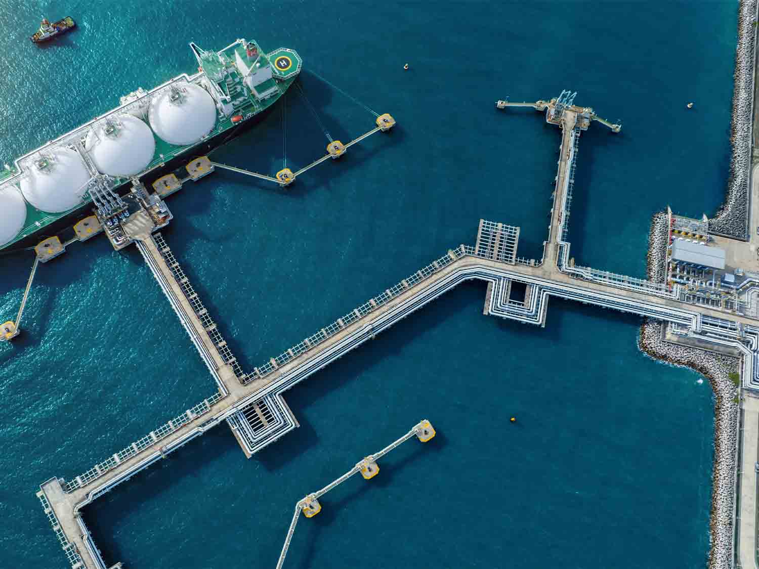
Detect methane emissions, saltwater disposal leaks, and offshore oil slicks across hard-to-access sites. Use reliable, auditable data to identify issues early, prioritize field inspections, and support regulatory compliance and emissions reduction efforts.
Exploration intelligence
Assess potential drilling sites, geological indicators, access routes, and surrounding infrastructure before sending teams into the field. Combine multispectral and hyperspectral satellite imagery to evaluate sites, identify changes, and plan field operations.