Automate your geospatial workflows. From exploration to closure.
One geospatial platform. All data, providers, budgets, and teams.
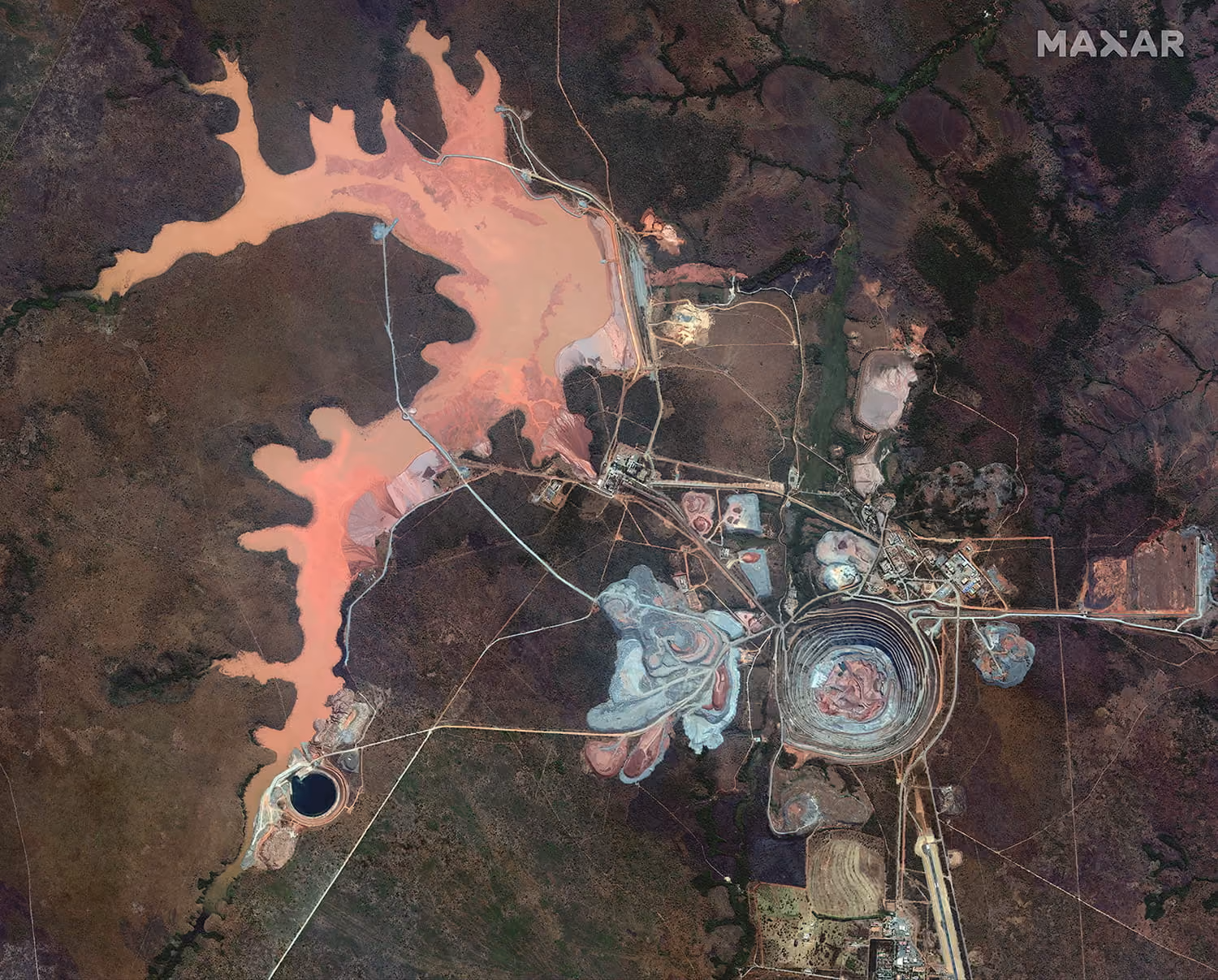

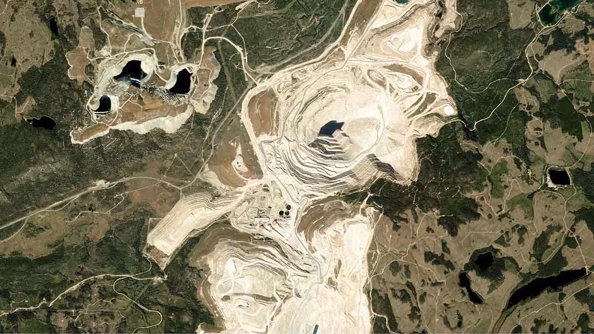
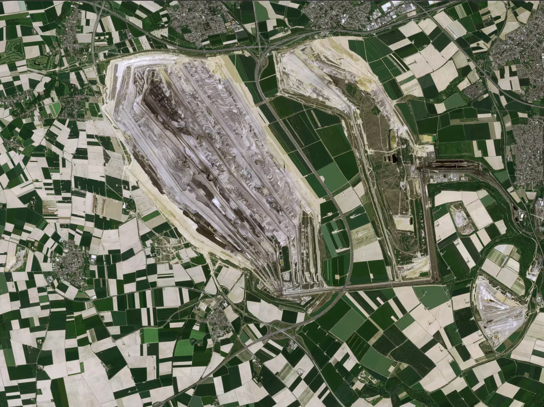

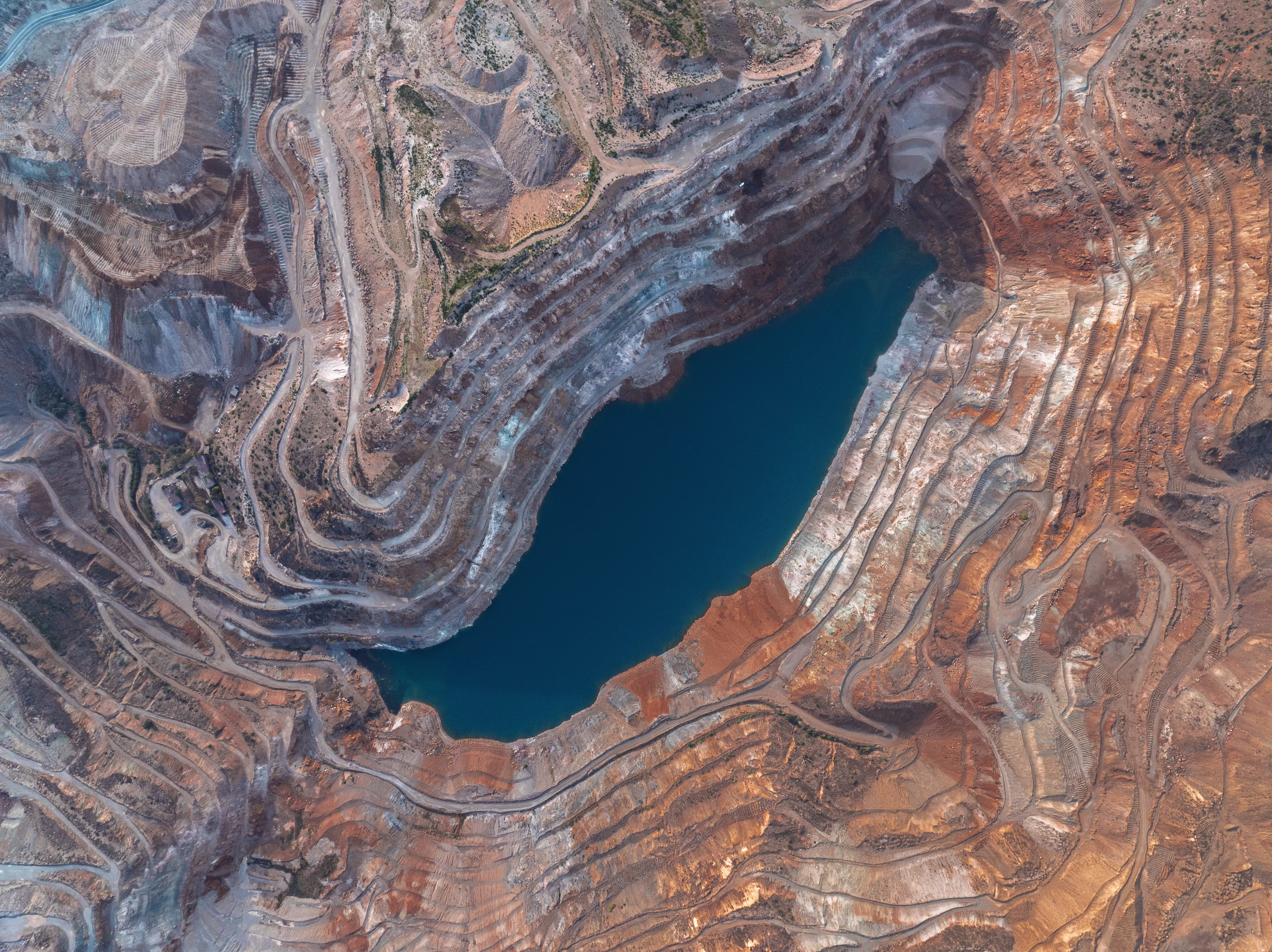


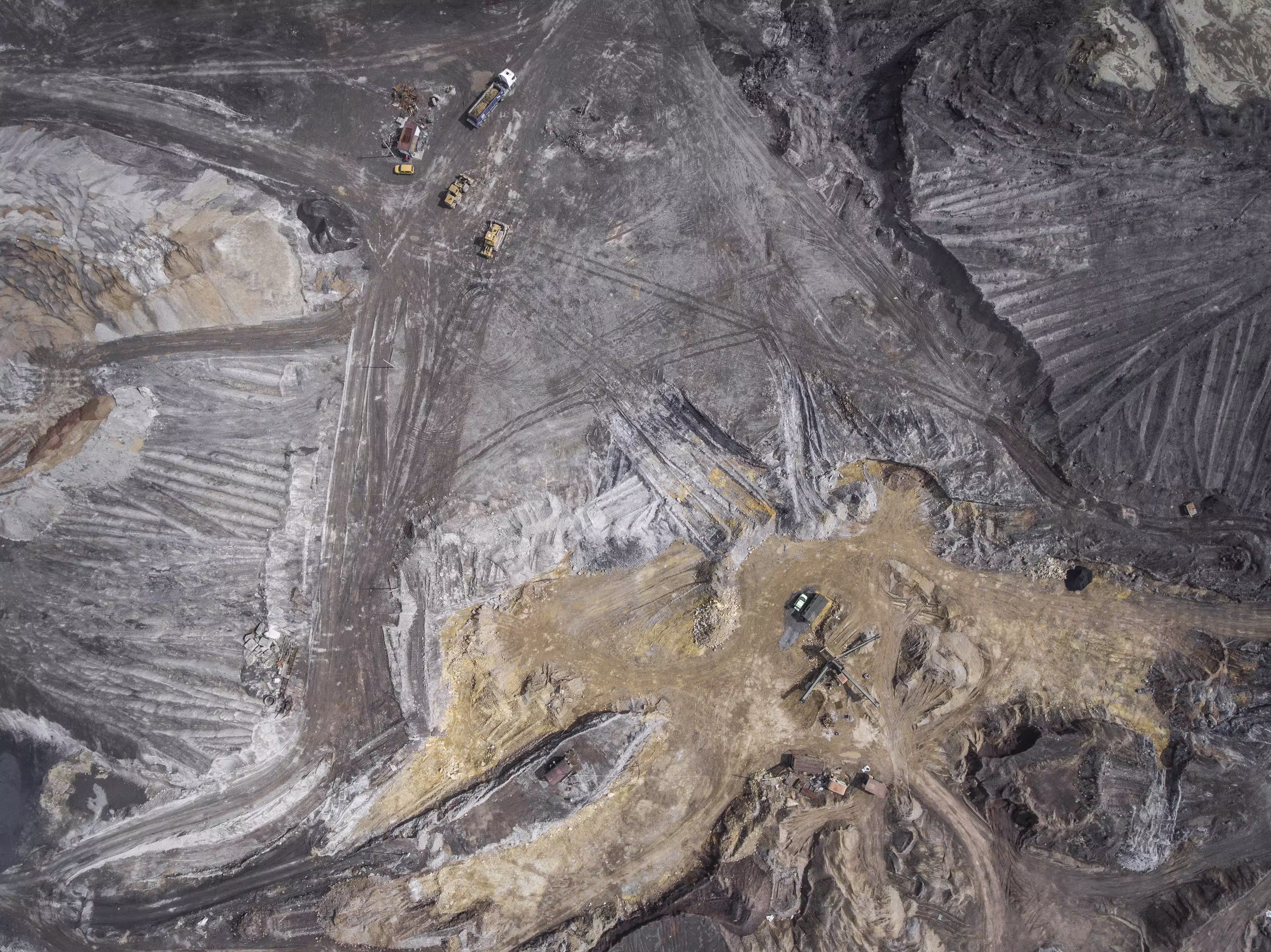


Unify complex geospatial workflows and data acquisition
By consolidating multi-sensor intelligence into a unified commercial framework, mining teams reduce data spend and accelerate project delivery.
Why use UP42?
Unified multi-sensor access
Consolidate optical, SAR, LiDAR, hyperspectral, and elevation data. UP42 standardizes formats and handles the contracts, giving you access to archive or tasked imagery in one place.
Automated GIS workflows
Deliver standardized, analysis-ready data directly into existing GIS pipelines via our API and Python SDK, or stream imagery directly into internal apps and GIS software via WMTS.
Governance & compliance
Manage multi-site mining operations from a single account. Enforce budget limits and track spending across teams, while securing data under SOC 2 Type II and GDPR standards.
Technical project advisory
Access dedicated experts to help execute complex, cross-sensor projects. We provide integration support and project optimization tailored to the demands of the mining lifecycle.
Ready to get started?
