Order remote sensing data for your projects
We support geospatial teams by removing technical and commercial barriers around accessing remote sensing data.


Vexcel Aerial
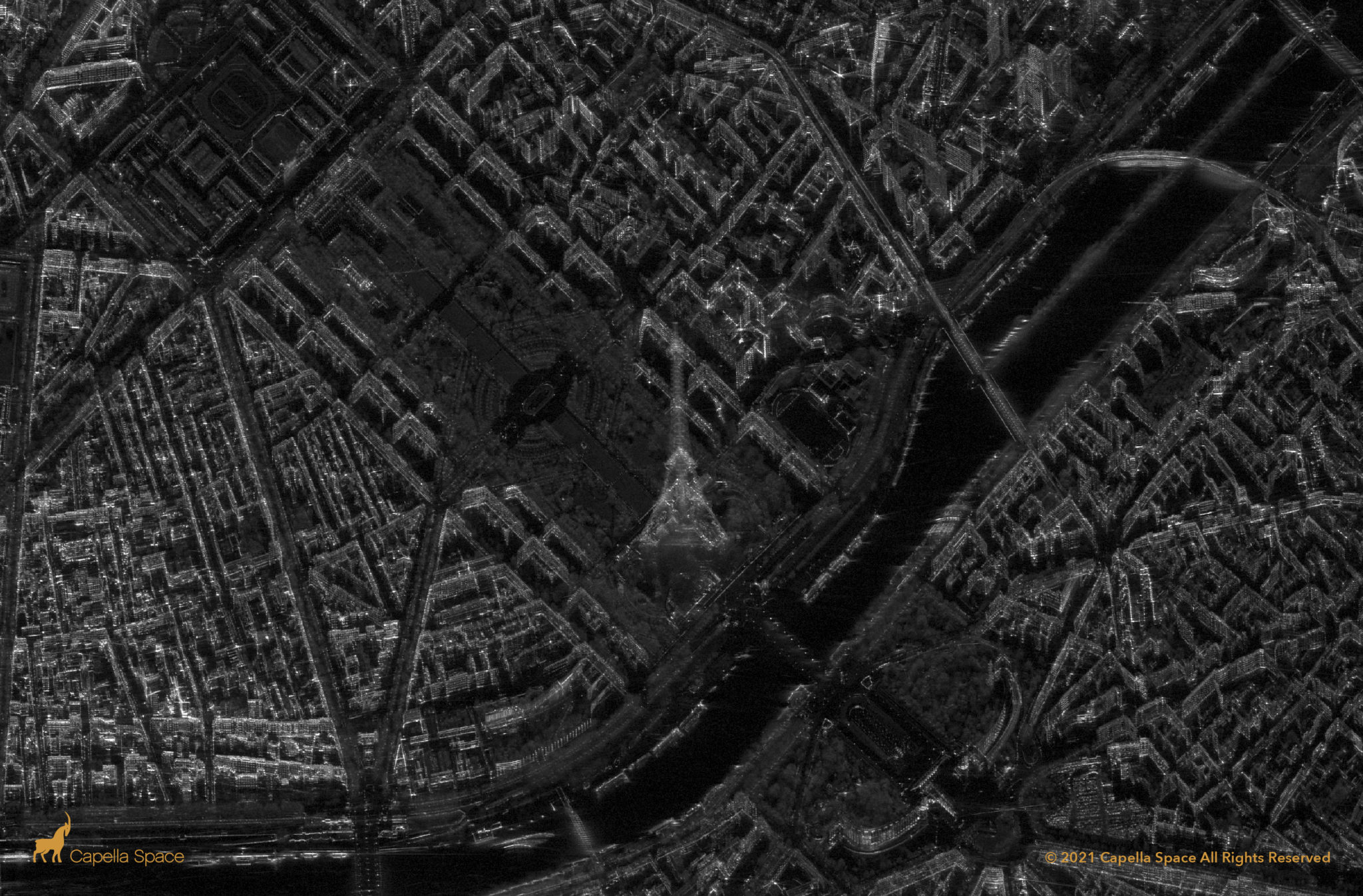
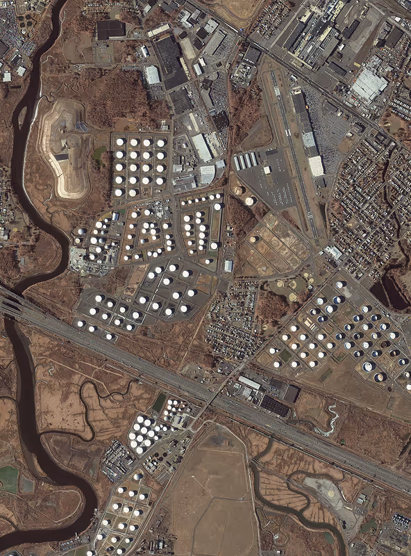
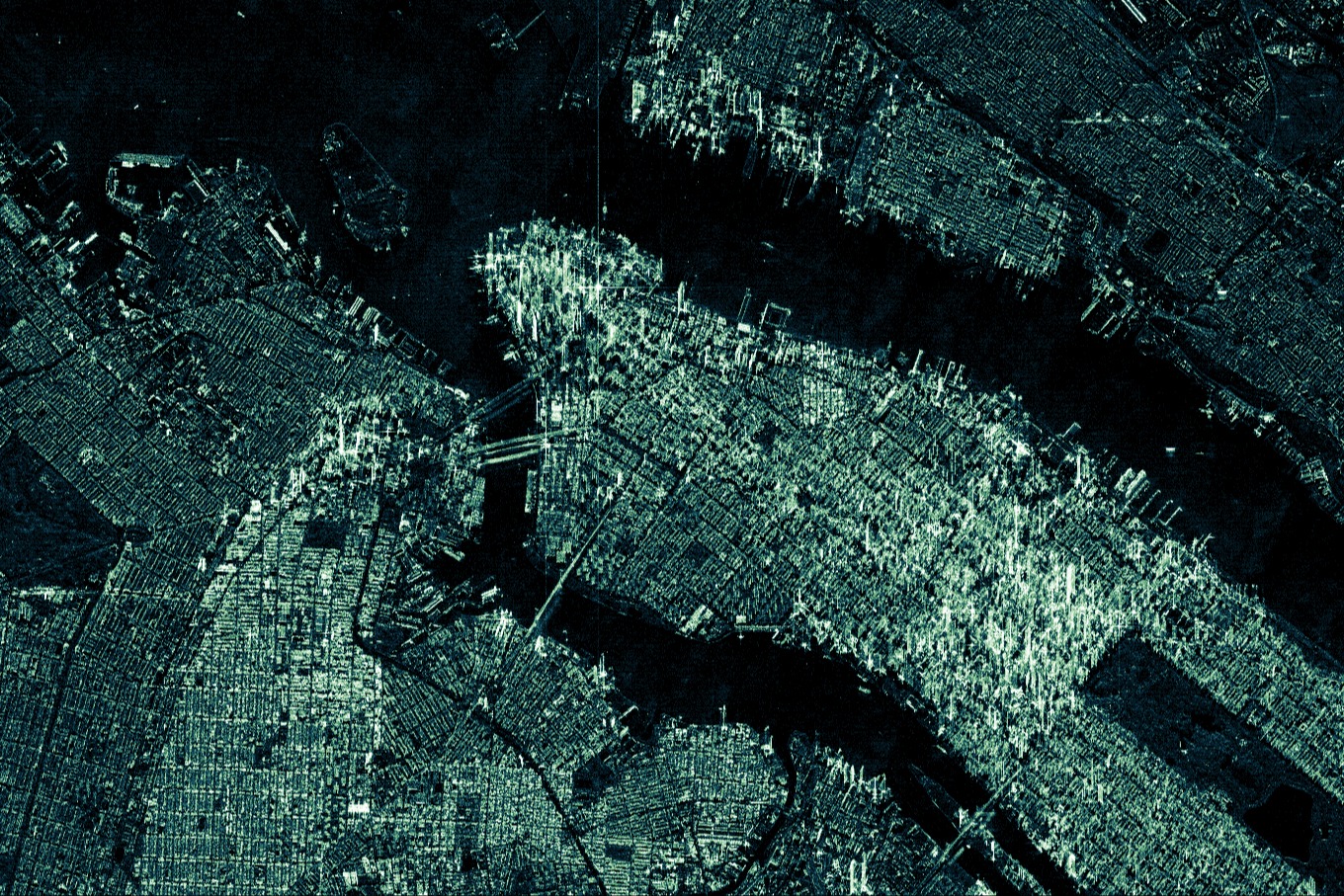
Capella Space

SPOT

Pléiades Neo
ICEYE

BlackSky
Planet

Pléiades Neo HD15
Vantor
GEOSAT 2
Vantor Vivid Terrain

Globhe Optical
NEXTMap One DSM
IO Aerospace

Vexcel Elevate
Vexcel Aerial
Capella Space
SPOT
Pléiades Neo
ICEYE
BlackSky
Planet
Pléiades Neo HD15
Vantor
GEOSAT 2
Vantor Vivid Terrain
Globhe Optical
NEXTMap One DSM
IO Aerospace
Vexcel Elevate
Vexcel Aerial
Capella Space
SPOT
Pléiades Neo
ICEYE
BlackSky
Planet
Pléiades Neo HD15
Vantor
GEOSAT 2
Vantor Vivid Terrain
Globhe Optical
NEXTMap One DSM
IO Aerospace
Vexcel Elevate
UP42 solves data access challenges for geospatial teams
Multi-source complexity
Projects often require data from multiple geospatial sources with differing ordering workflows.
Fragmented data procurement
Sourcing high-accuracy geospatial data for specific locations and use cases is complex.
Resource inefficiencies
Commercial contracts with multiple data vendors drains your technical and financial resources.
Data sharing & format friction
Sharing geospatial data is difficult due to varying formats and quality levels from different sources.
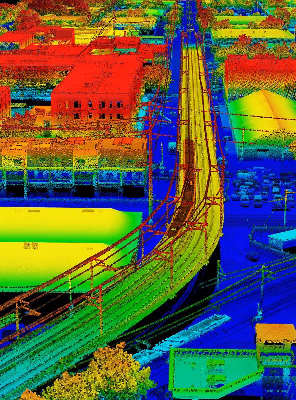
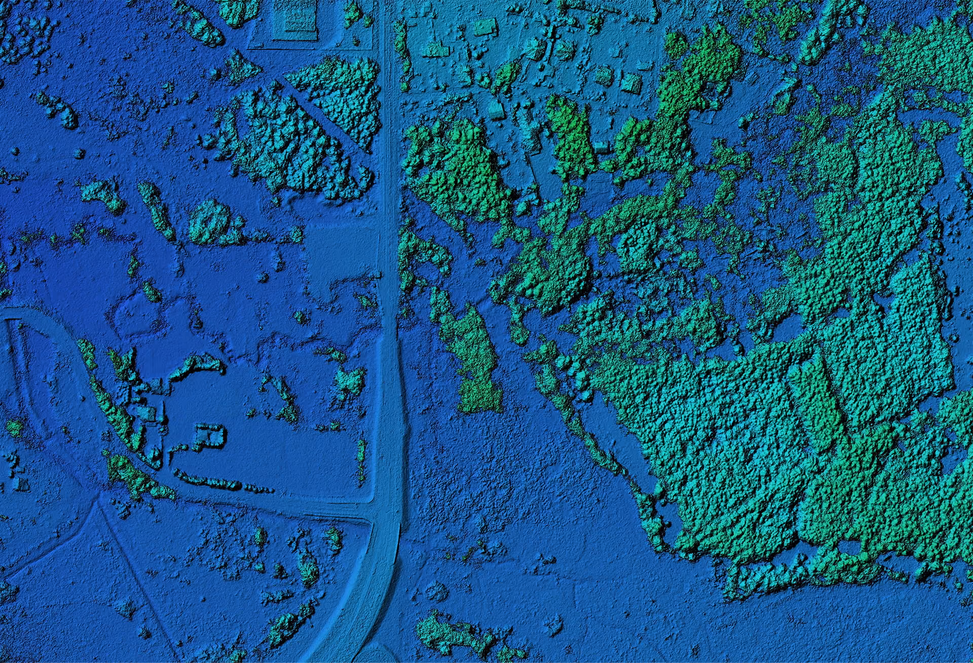
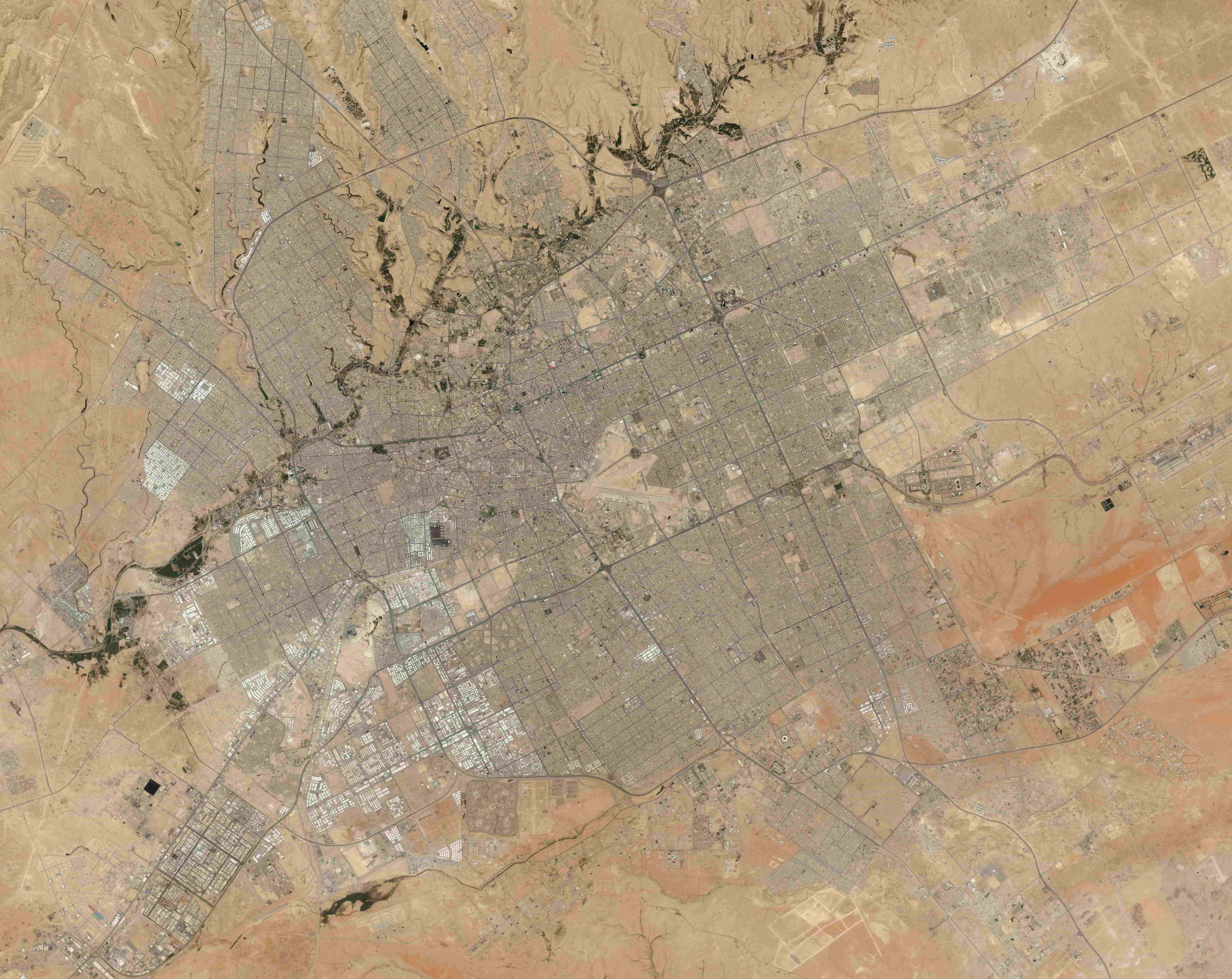
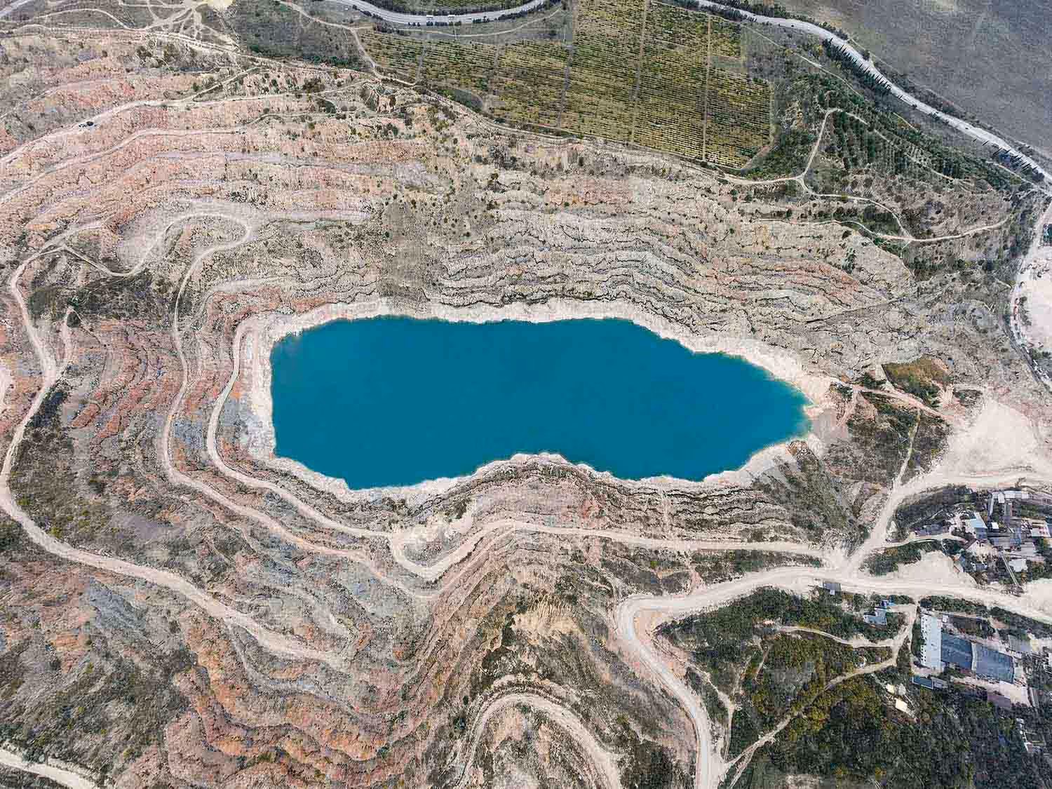
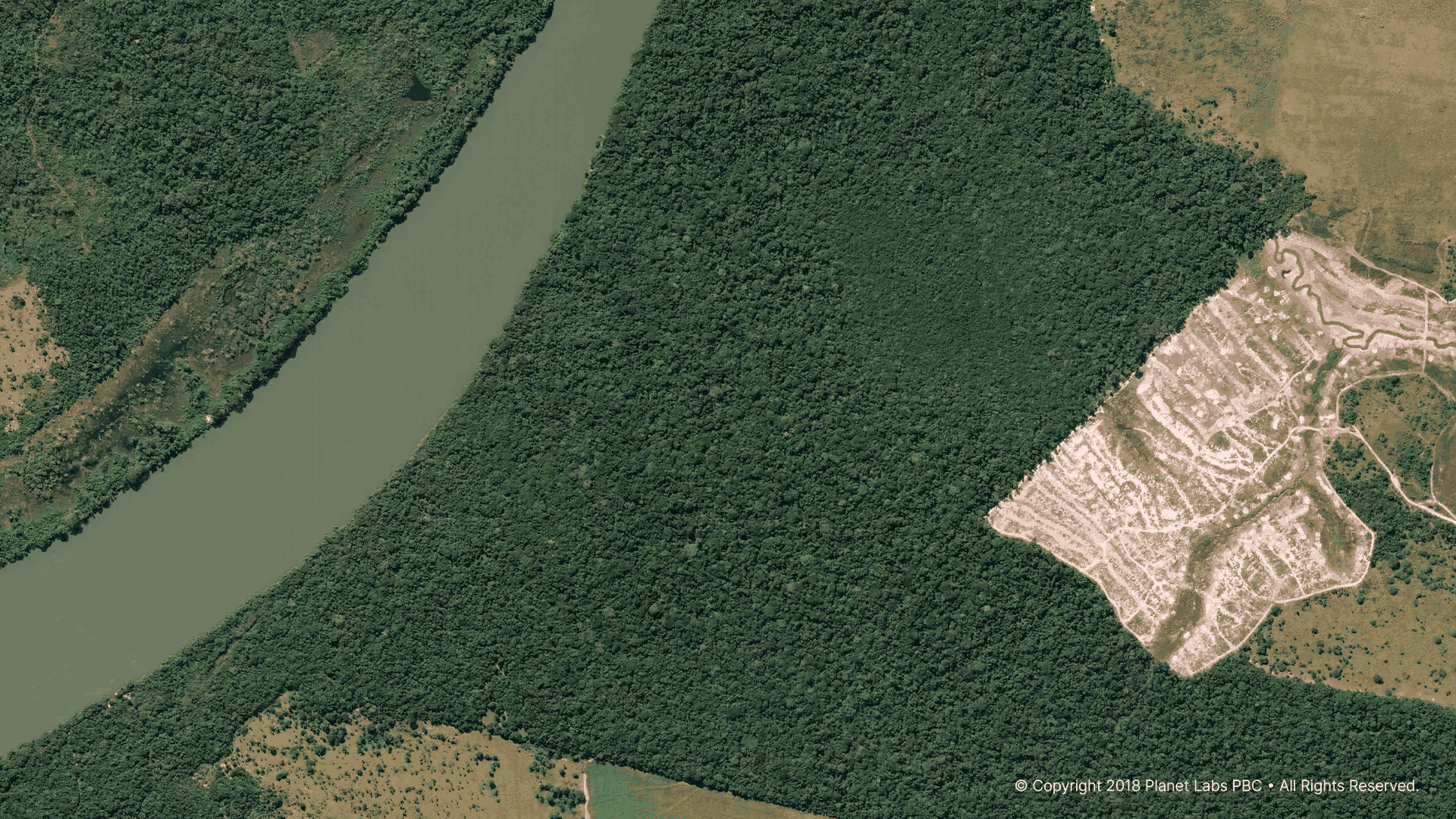
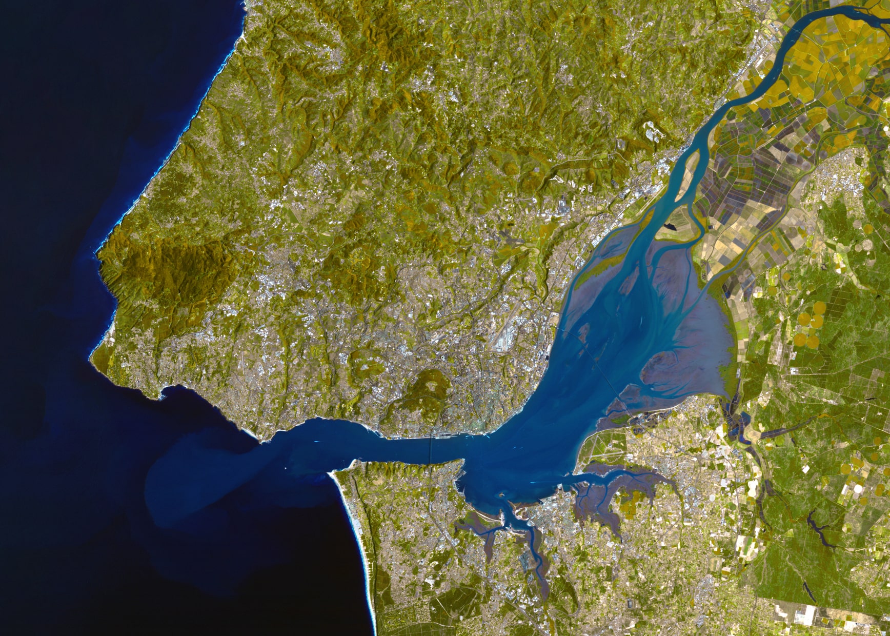
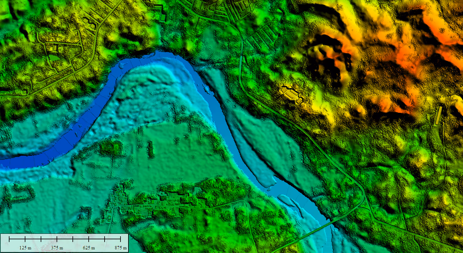
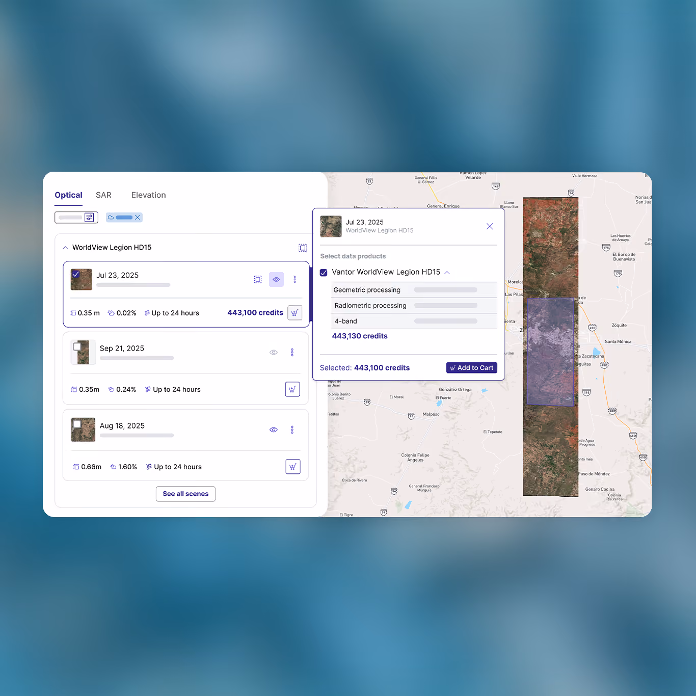
Search and order archive imagery with ease
Discover and compare high-quality optical, SAR, and elevation data from top providers, with project planning tools including parameter overviews, cost estimates, image previews, and sample data.
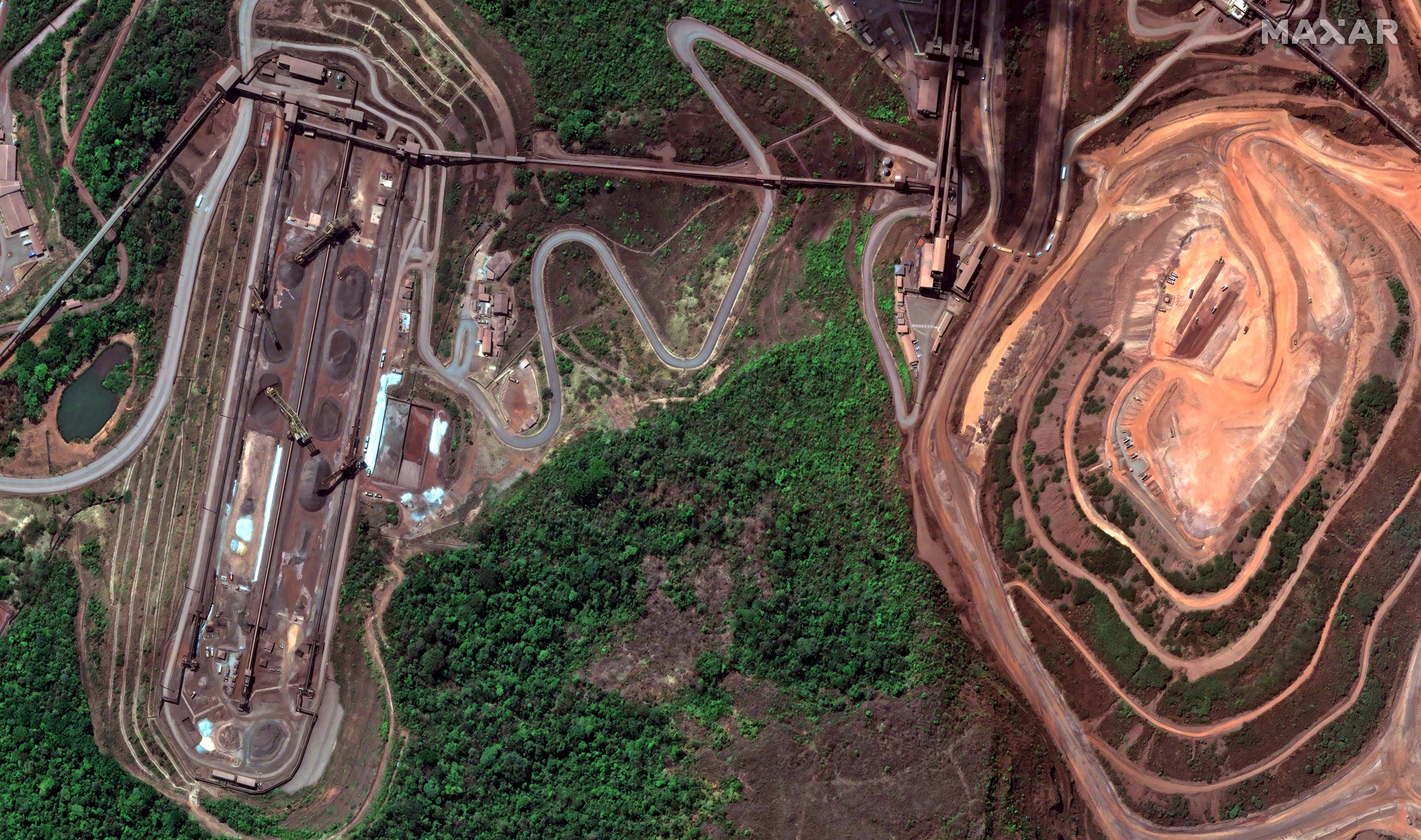
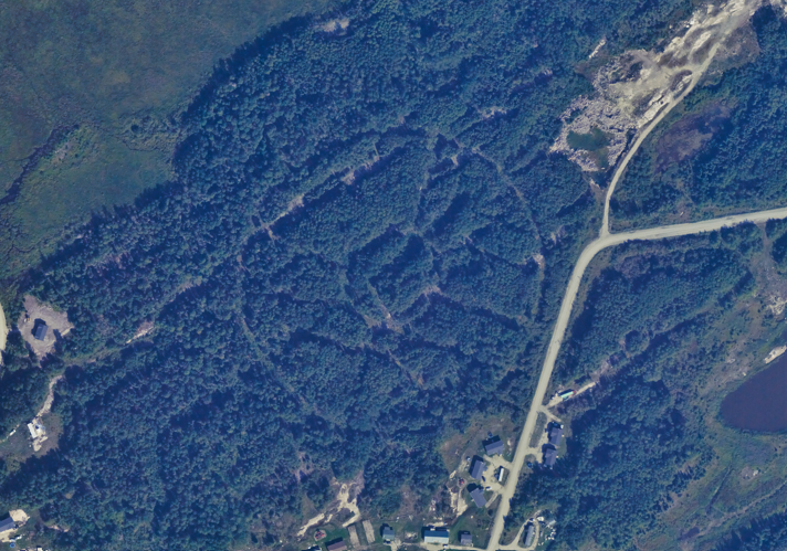
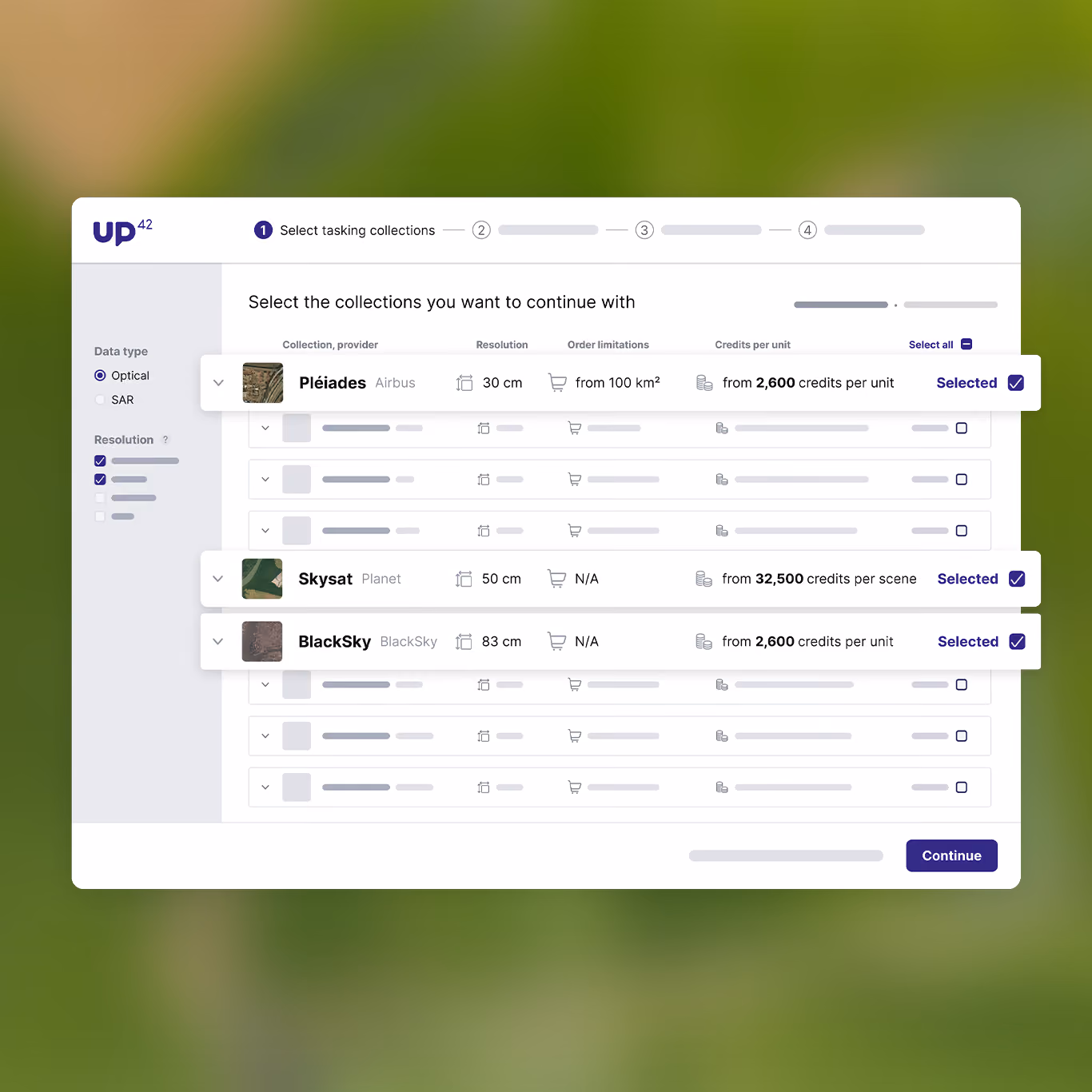
Capture fresh satellite imagery for your needs
With UP42 tasking, you can easily place orders for new imagery covering your AOI. Unlike most tasking solutions, we offer full visibility into your order status, letting you order, track, and download easily.
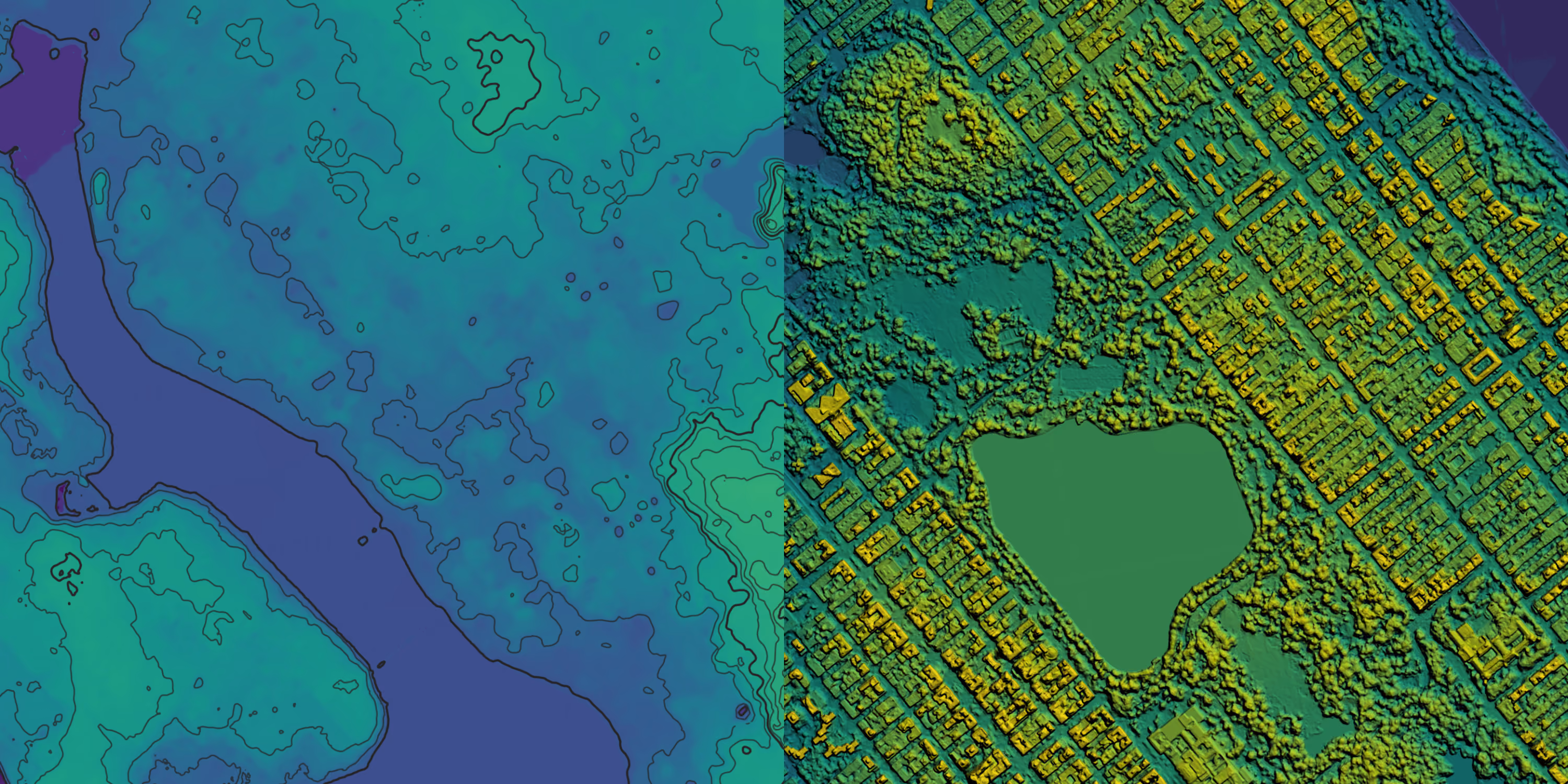
Integrate UP42 with your existing workflows
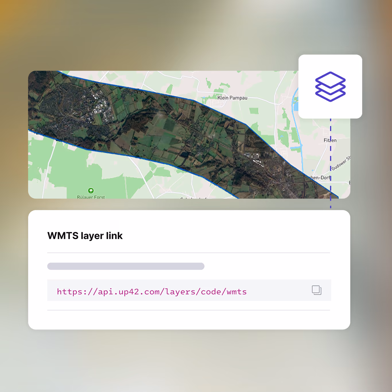
Access diverse datasets effortlessly with the UP42 API, SDK, and WMTS streaming, connecting easily with your existing tech stack.
Ready to get started?
