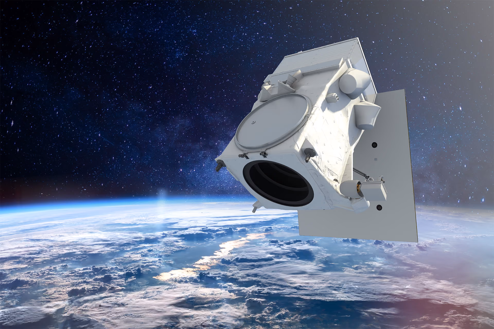
Discover Vantor's advanced geospatial intelligence
Very high resolution imagery, frequent revisit rates, and exceptional accuracy—available through the UP42 platform.


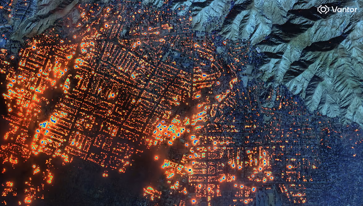


Unmatched coverage, clarity, and speed
Access 15 cm HD, 30 cm, and 50 cm imagery featuring revisit rates of up to 15 times per day, mono and stereo formats, high spectral diversity, and an archive dating back to 2007.
Why use UP42 to purchase satellite imagery?
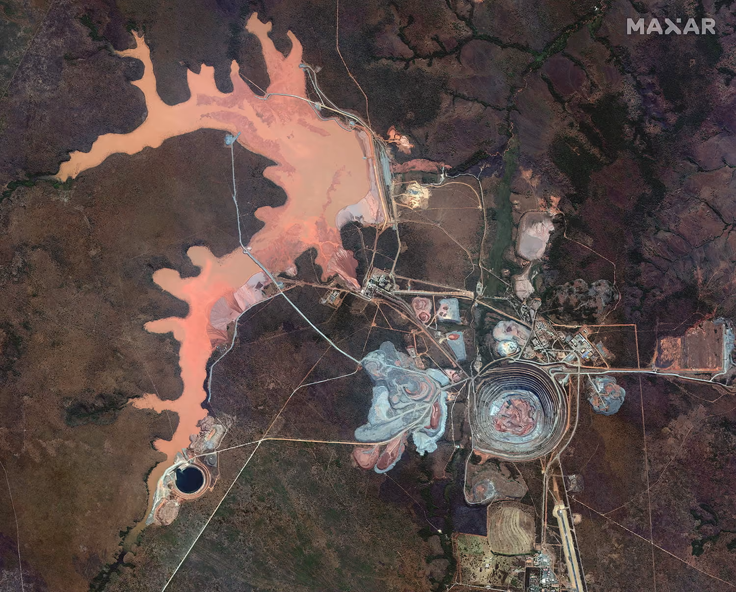
Largest commercial archive
Access GeoEye-1, WorldView-1 to 3, and WorldView Legion. Benefit from up to 15 cm HD resolution, <5 m accuracy, and rich spectral data.
Flexible tasking through UP42
Leverage advanced platform tools, including multi-AOI support, instant pricing, feasibility checks, and automated repeat scheduling.
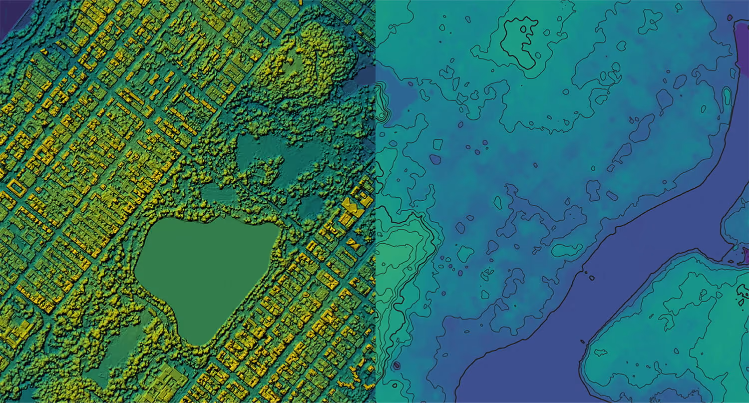
Global 50 cm elevation data
Acquire 50 cm Digital Surface Models (DSM) and Digital Terrain Models (DTM), with global archive coverage spanning from 2007 to present.
Data & processing ecosystem
Combine Vantor imagery with leading third-party data and processing tools, all delivered via standardized formats for seamless integration.
Discover Vantor's data
