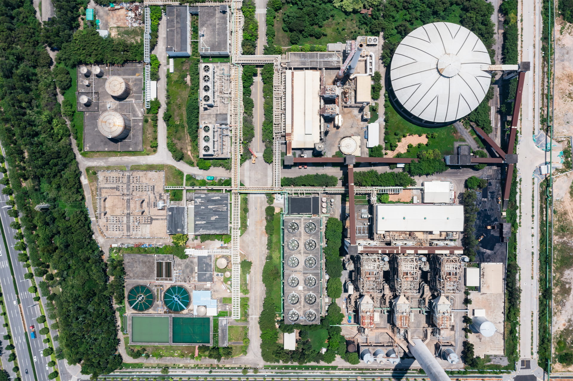
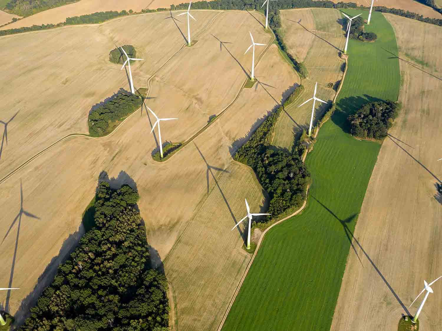
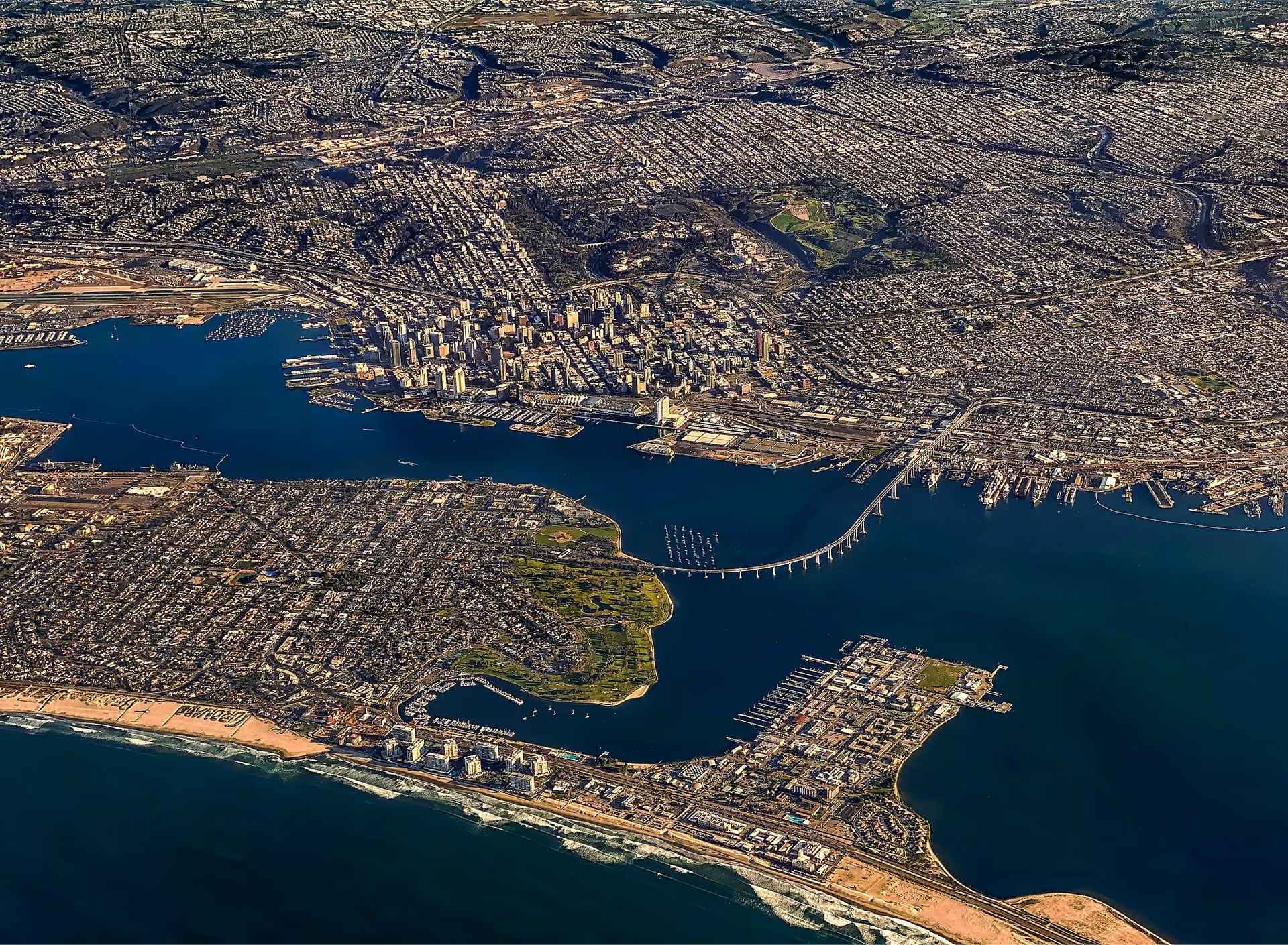
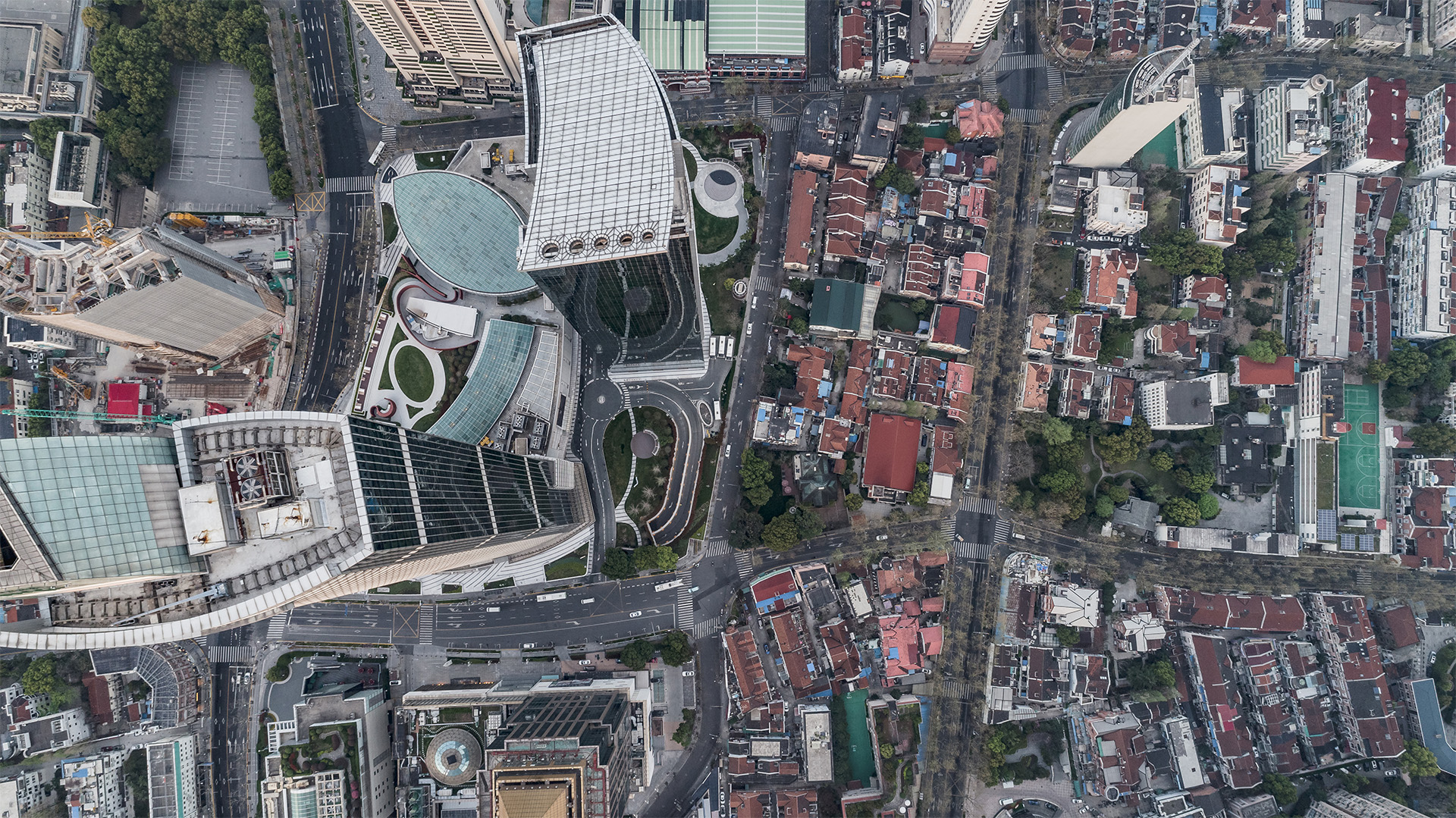
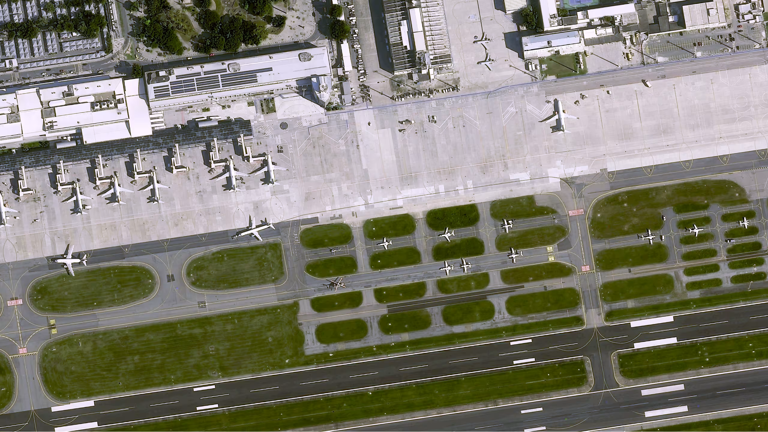
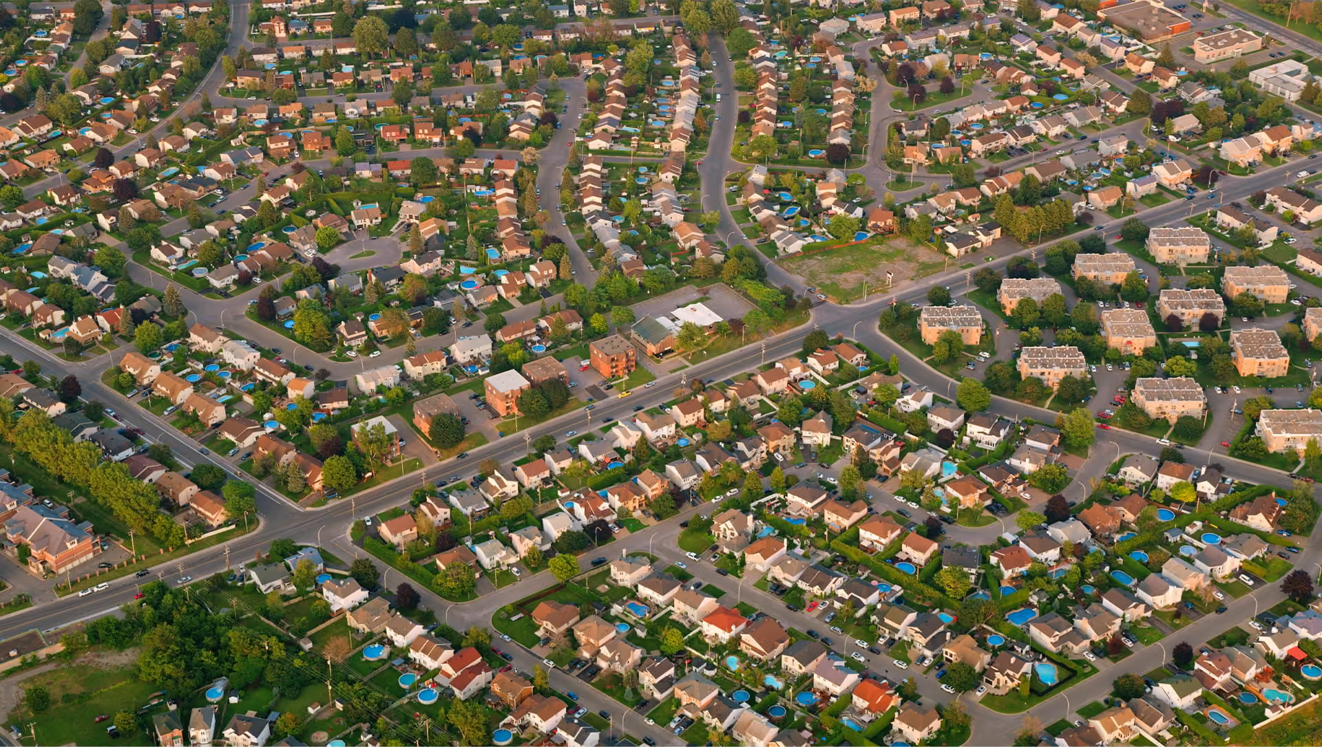
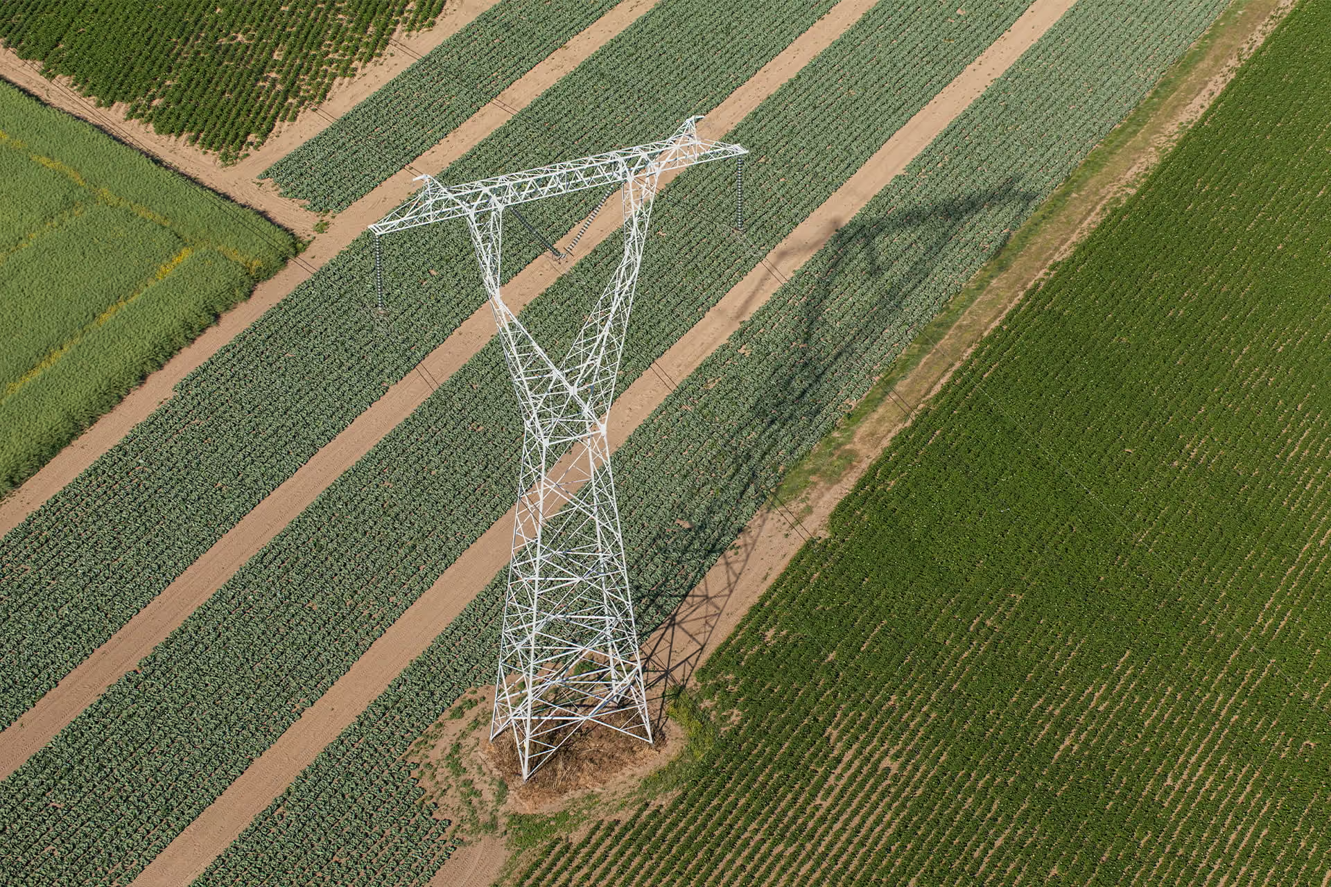
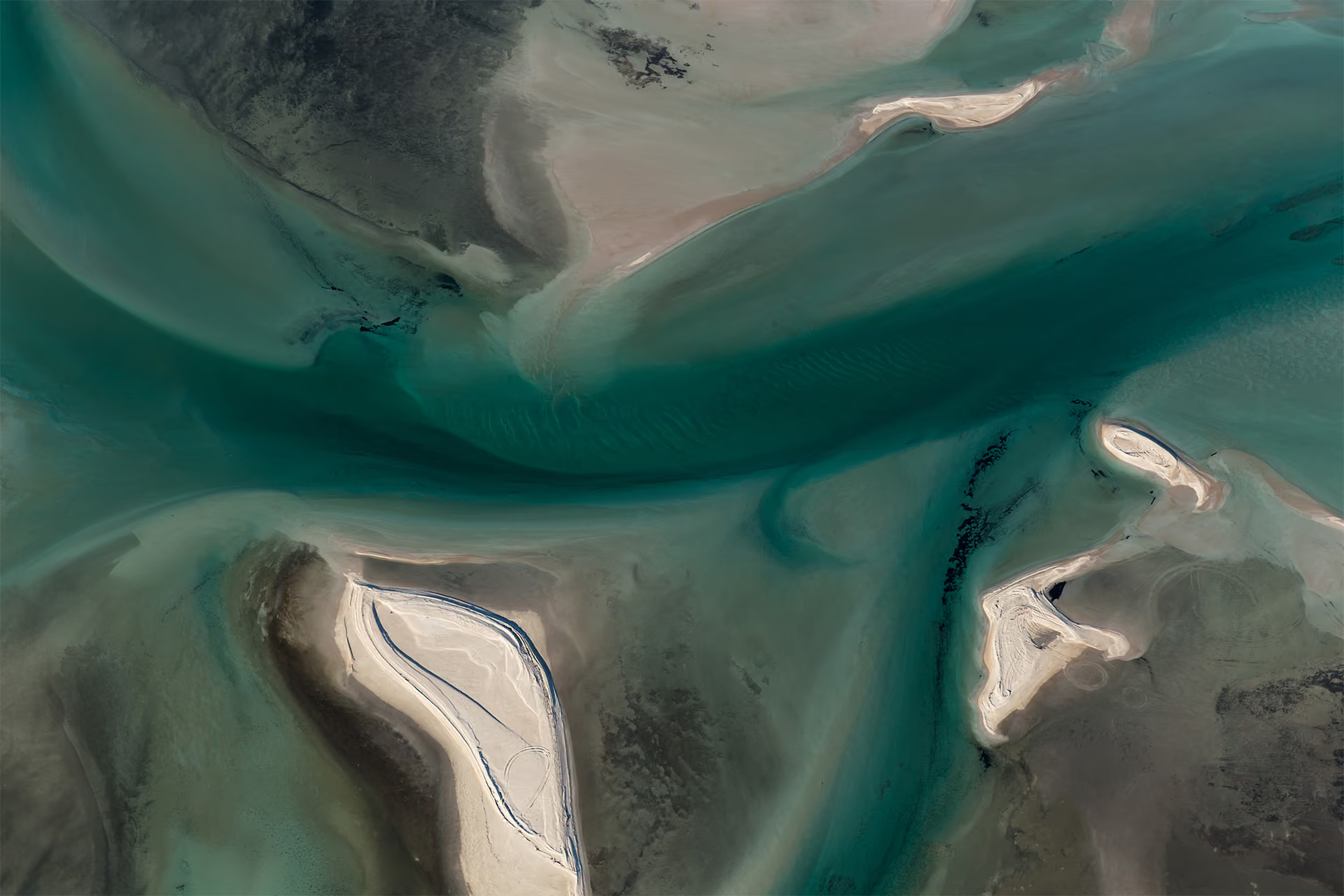
High resolution satellite imagery

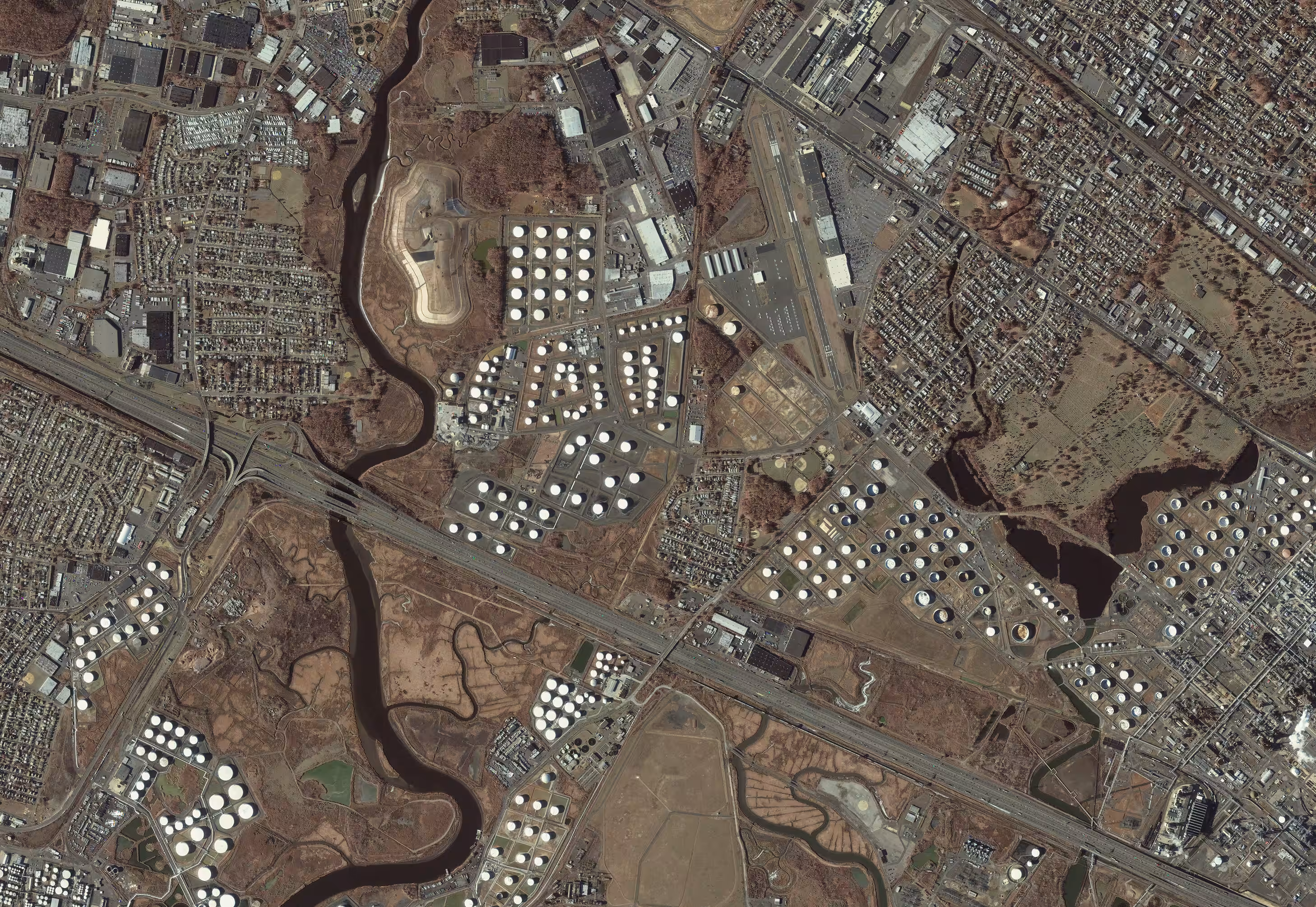
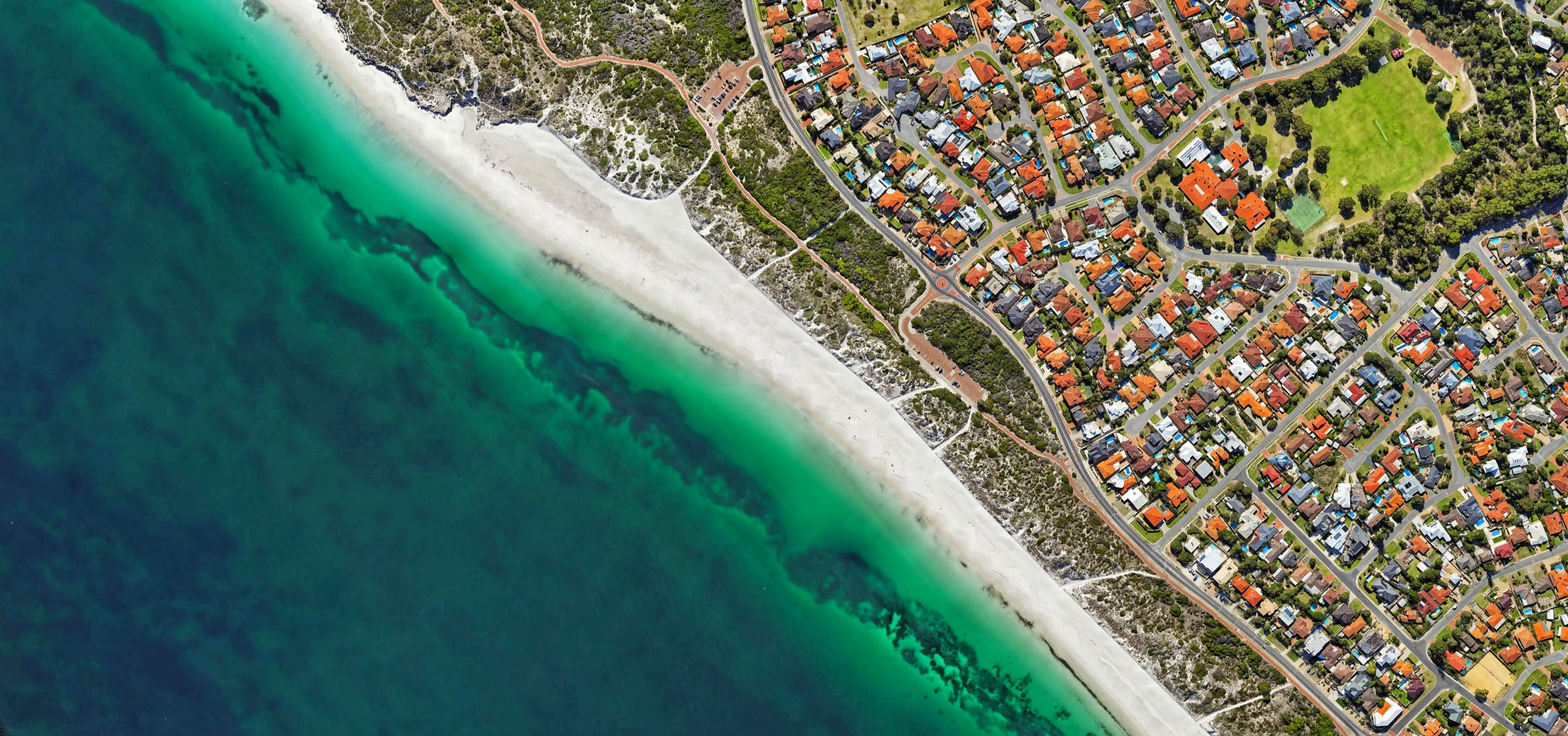
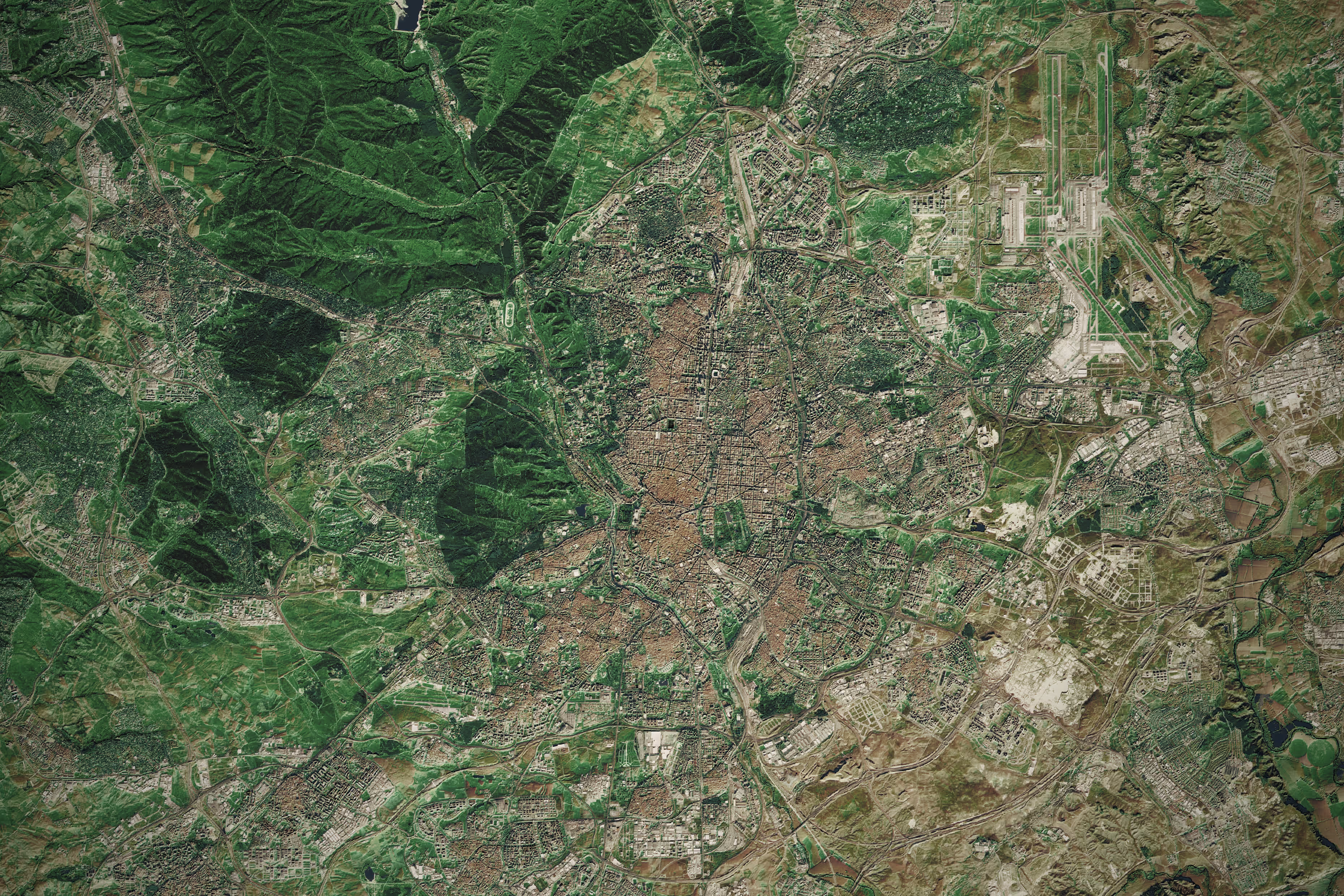
Access high precision imagery starting with 30 cm resolution

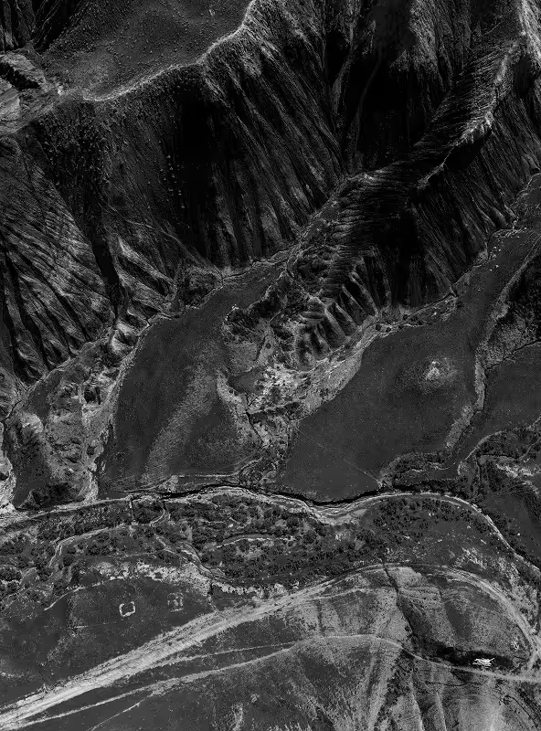
A black and white SAR view of rugged mountainous terrain with steep ridges, valleys, and rocky textures.
UP42 SERVICES

How can we best support you?

Basic

Standard

Premium

Premium+

Enterprise

Pricing

Free (No credits purchased)

Free (Credits purchased)

Subject to a fee

Subject to a fee

Technical support hours

Monday–Friday, 9 am–5 pm CET/CEST
(excl. holidays)

Ordering support hours

Monday–Friday, 9 am–5 pm CET/CEST
(excl. holidays)

incl. Saturday–Sunday and on holidays, 8am–8pm CET/CEST

Slack access

Up to 5 users

Unlimited users

Issue escalation

Priority handling

Customer success services

- Assigned Customer Success Manager

- 8 annual onboarding and enablement sessions

- Customized success plan

- Regular business reviews

- Up to 200 hours of expert assistance / year

Technical support response times

Business hours

‍Up to 8 hours

‍Up to 4 hours

Up to 2 hours

Up to 2 hours

Ordering support response times

Business hours

Up to 3 hours

Up to 3 hours

Up to 2 hours

Up to 2 hours


Simplified access to satellite imagery

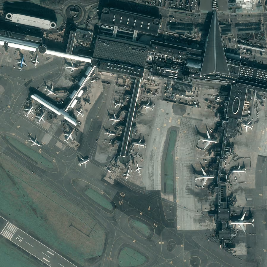
UP42 gives you access to very high resolution commercial satellite imagery from different suppliers, together in one place. Sign up and use the catalog search to browse through historical images. Or task a satellite today through our intuitive tasking interface.
Why use UP42 to purchase satellite imagery?

01

Pay only for your chosen AOI

We have one unified platform for purchasing data. Select the area of interest and pay only for your chosen AOI.

02

It's tailored to your needs

You can configure your order with parameters such as geometric filters, date range, cloud coverage, zoom level, intersects, and many more. What matters is that you get exactly what you need.

03

Enhanced quality with machine-learning

With UP42, you can combine data with processing algorithms. Enhance the definition by applying a dedicated high-definition algorithm such as pansharpening or high resolution.

04

Bespoke catalog and tasking service

Search multiple archive data sources to find the perfect match for your project. Need fresh imagery? We’ll handle the entire tasking process for you.

05

Access via API or SDK

Fully automate your data pipelines with our API & Python SDK to minimize manual effort.

Customer stories

“UP42 and Pléiades Neo give us the opportunity to use satellite images instead of drones or airplanes for our forest monitoring. This approach is much more flexible and cost-efficient than previous methods.”
Julian Kakarott
CEO of CarbonStack

Have an urgent project?

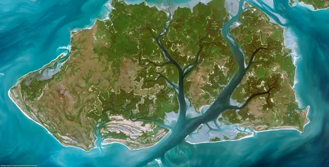
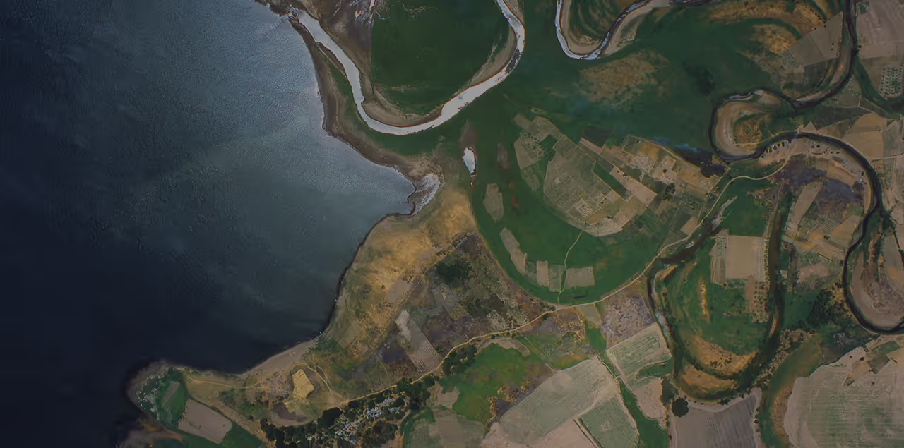
Aerial view of a coastal landscape showing water on the left with irregular shorelines and green and brown patches of land with winding rivers and agricultural fields on the right.