Aerial data from the world's leading providers
Search global archives for high resolution imagery or task aircraft and drones directly for on-demand captures.


Georectified and orthorectified imagery starting from 5.5 cm resolution across RGB and NIR bands, available through the UP42 platform.


Why use UP42 to buy aerial imagery?
Only pay for what you need
One unified platform. Configure your data with your desired parameters, set your AOI, and order.
Standardize data deliveries
Receive harmonized data formats from multiple aerial providers, eliminating complex preprocessing.
Make aerial data analysis-ready
Combine aerial data with processing algorithms to pansharpen or improve image resolution.
Task fresh aerial imagery
Access historical imagery instantly, or task new aerial data flights to get the exact coverage you need today.
Map terrain with elevation data
Access very high resolution digital surface and terrain models generated from aerial data.
Access via API or SDK
Automate your data pipelines with our API or Python SDK to minimize manual effort.

Vexcel Aerial
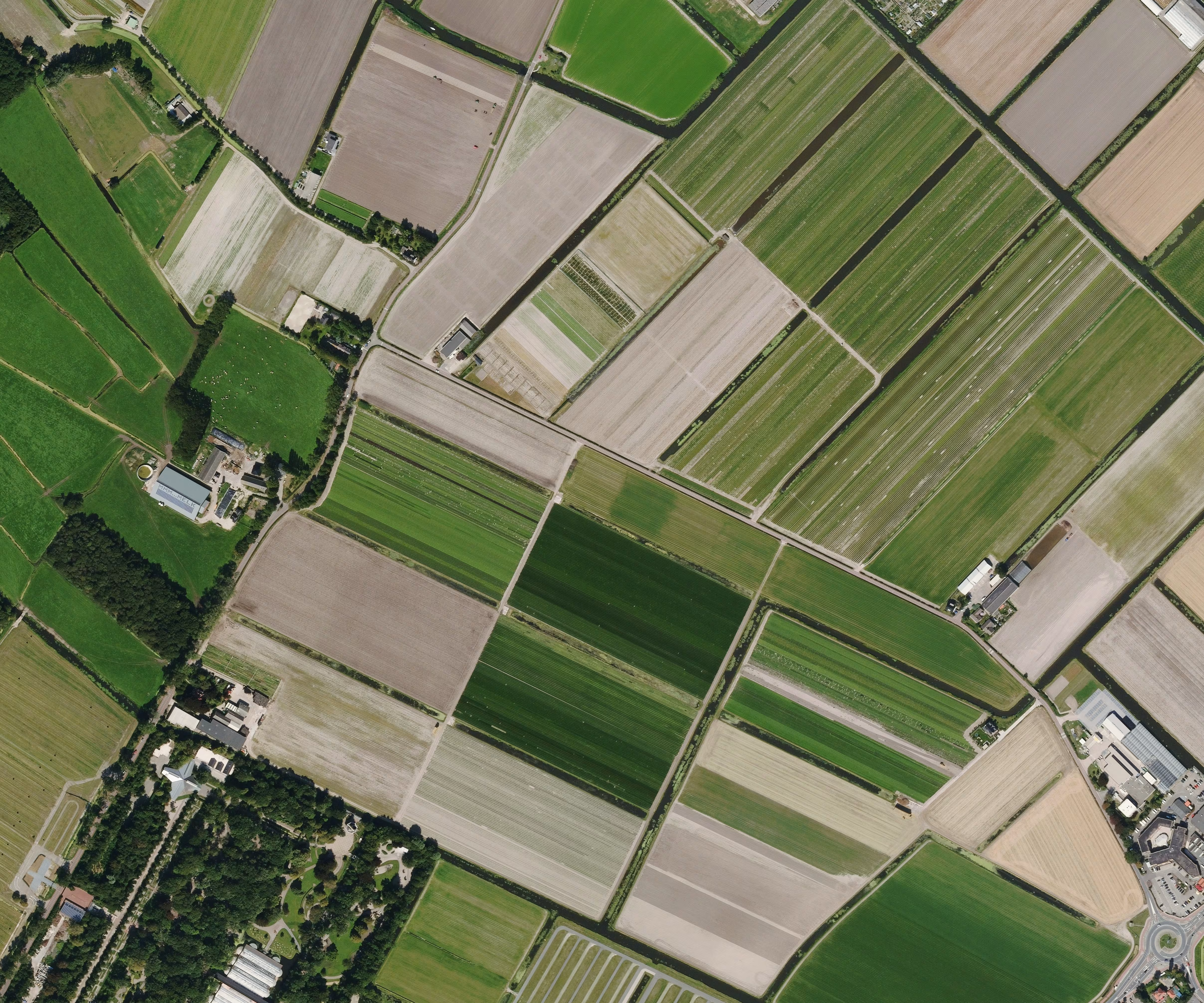
5.5 cm multispectral imagery covering the US, Canada, Europe, and Oceania.

Vexcel Elevate
5.5 cm 3D terrain datasets covering the US, Canada, Europe, and Oceania.
IO Aerospace
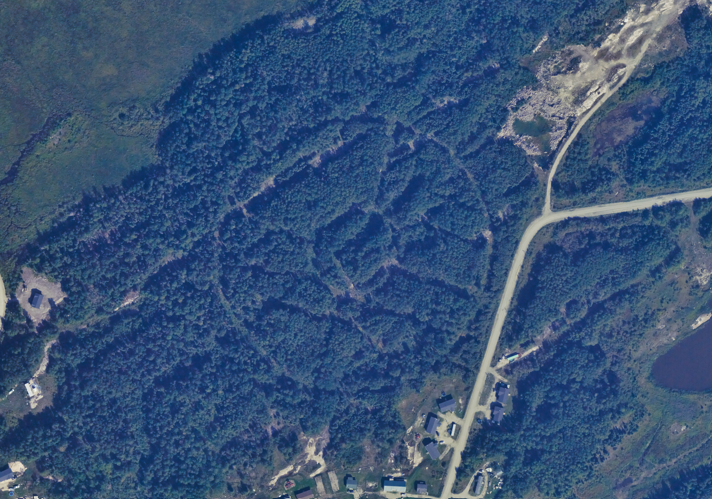
10 cm multispectral aerial imagery available on-demand over North America.

Globhe Optical
1 cm drone imagery captured worldwide with a daily revisit rate.
Hexagon Aerial
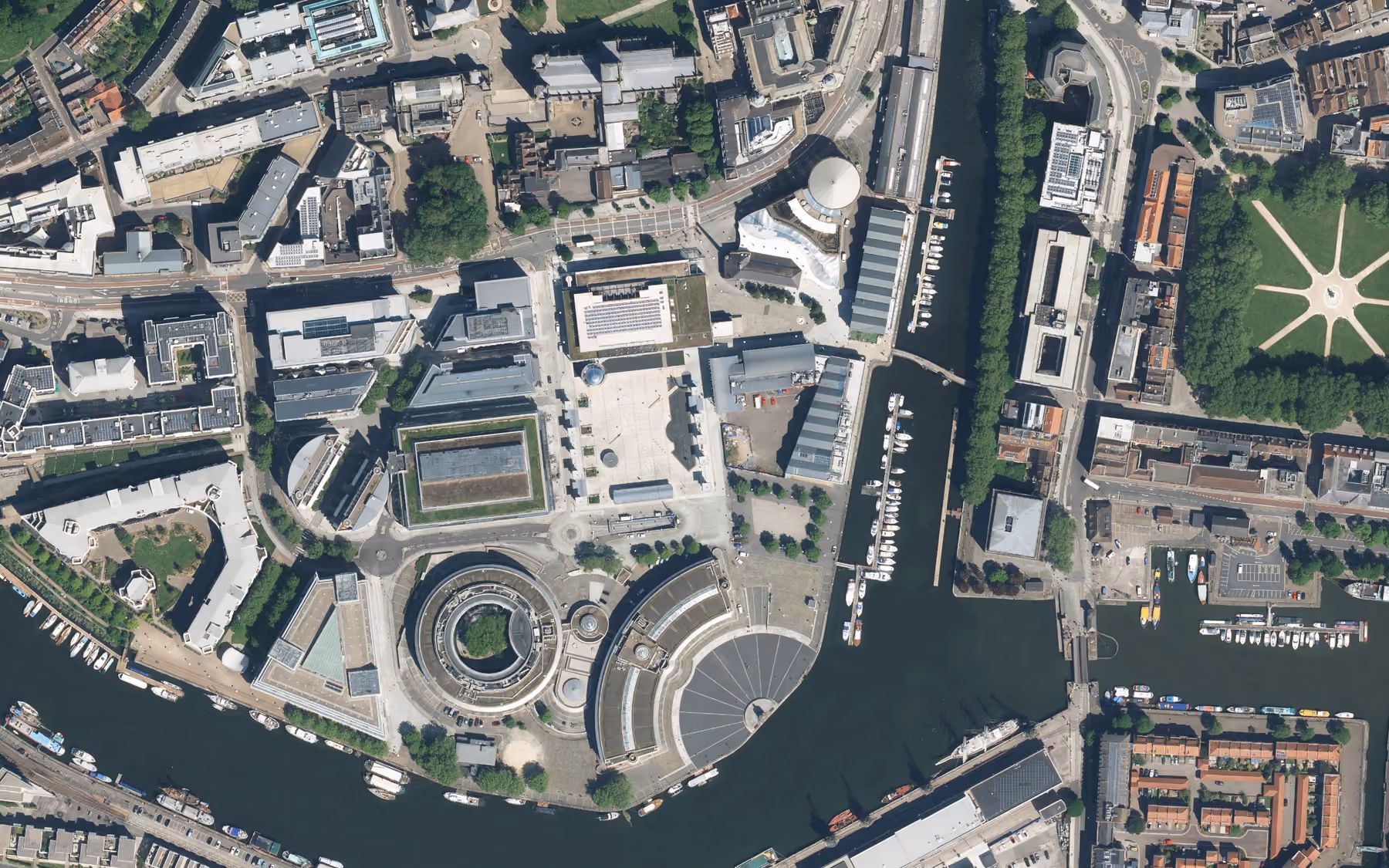
15 cm aerial imagery captured daily over parts of North America and Europe.

Hexagon Elevation DSM
30 cm digital surface model generated from Hexagon aerial imagery over North America and Europe.
Bluesky Aerial
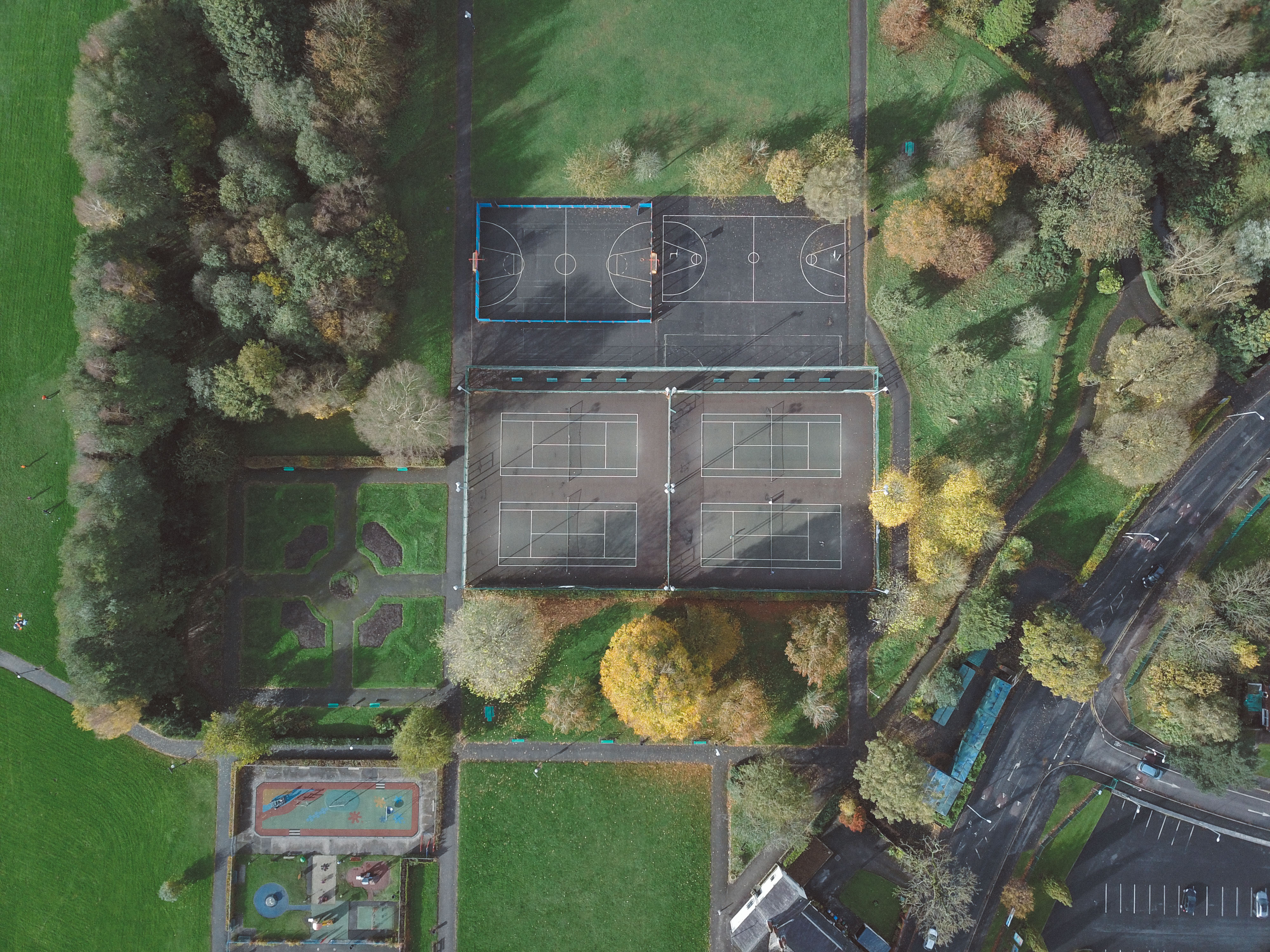
10 cm optical aerial imagery captured over the UK.

Getmapping Aerial
5 cm optical aerial imagery captured over the UK.
Got a question?
We're here to help. If you'd like to find out more, contact us and we’ll get back to you as soon as possible
