Processing at scale
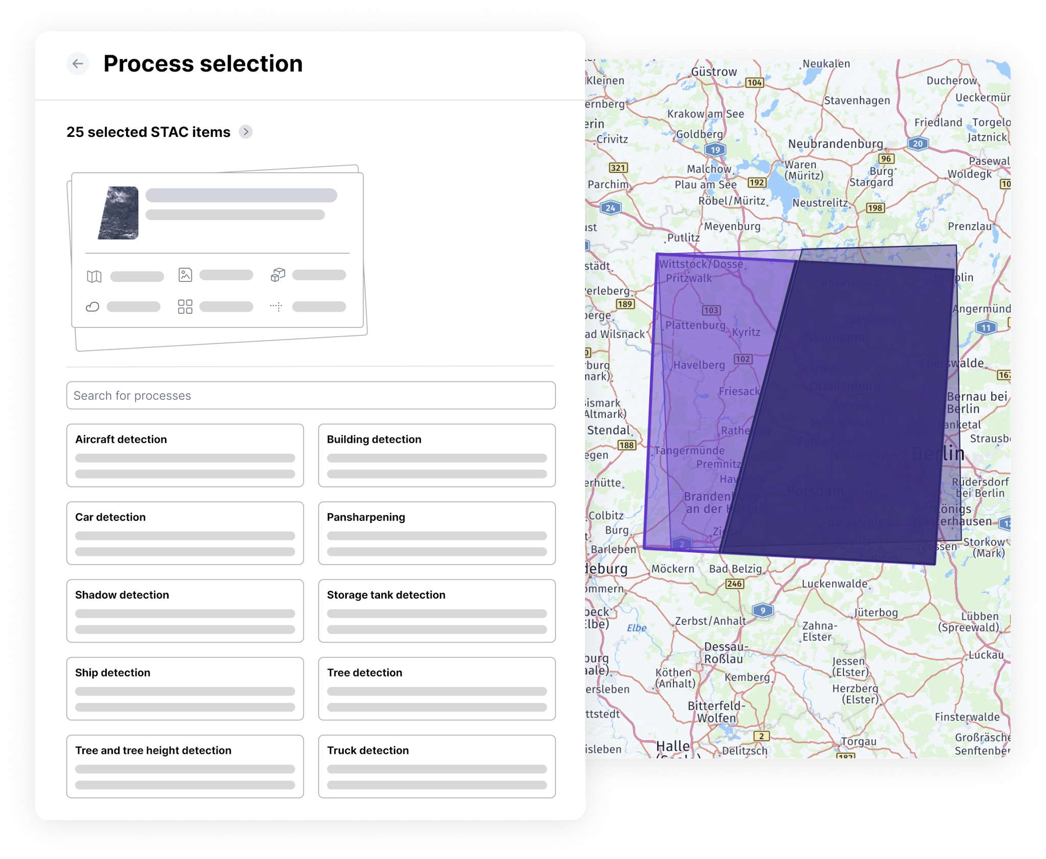
We simplify parameter configurations and let you process as many STAC items as you want—it only takes a couple of steps.
Enhance geospatial data and use processing algorithms, all in one platform.
We simplify parameter configurations and let you process as many STAC items as you want—it only takes a couple of steps.
We leverage STAC to improve validation and give you compatibility and price estimates early in the decision-making process.
Process any order delivery and access the output in your data management. Easily trace your workflow from order to processed output.
Advanced enhancement capabilities
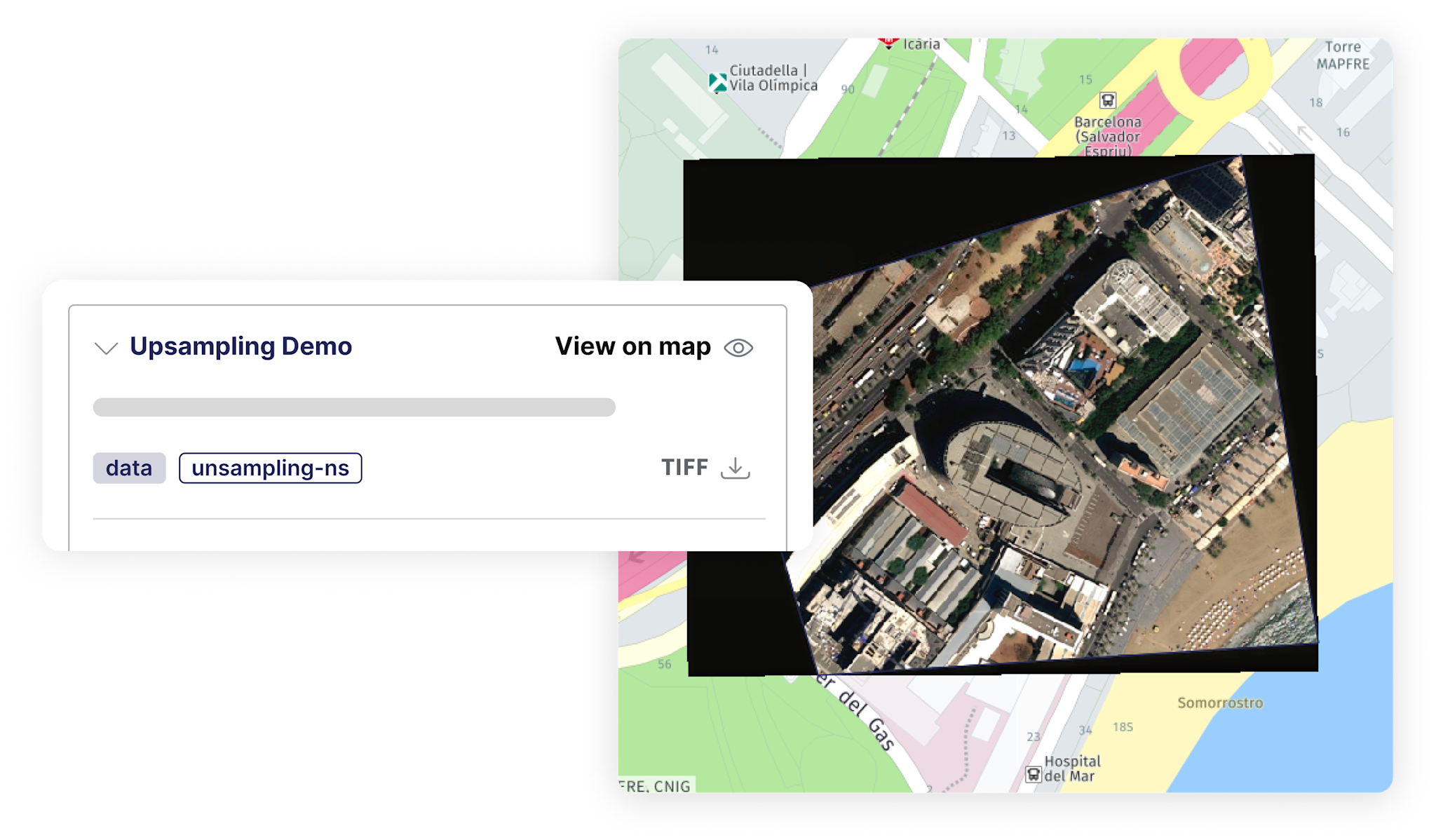
Transform geospatial assets into analysis-ready data through enhancement capabilities such as upsampling and pansharpening.
Analytics algorithms from leading providers
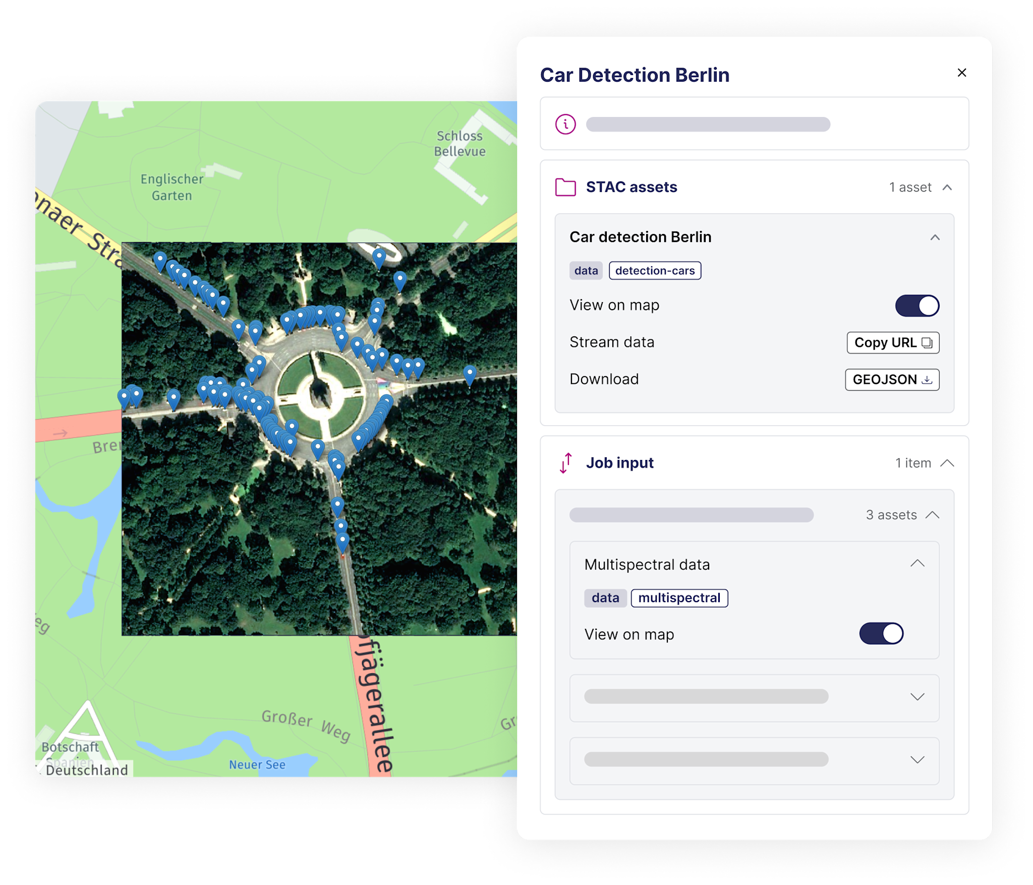
Extract insights, patterns, or predictions from your data. Use standardized processing algorithms for change or object detection, and much more.
Enhanced reliability
Monitor progress and verify your processing job and output visually on a map. The end output is stored in your data management component, making it easier to use the data for your downstream use case.


