


Case studies
Customer stories
See how our customers are tackling complex challenges with Earth observation data.

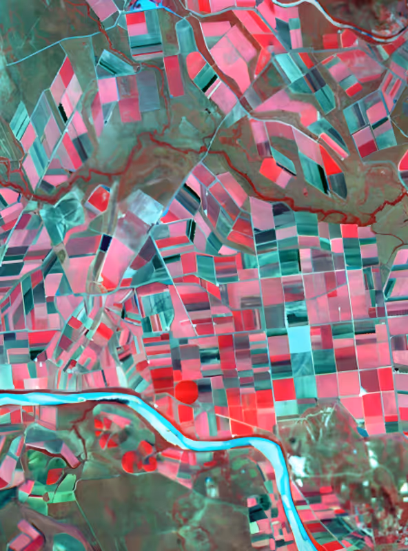
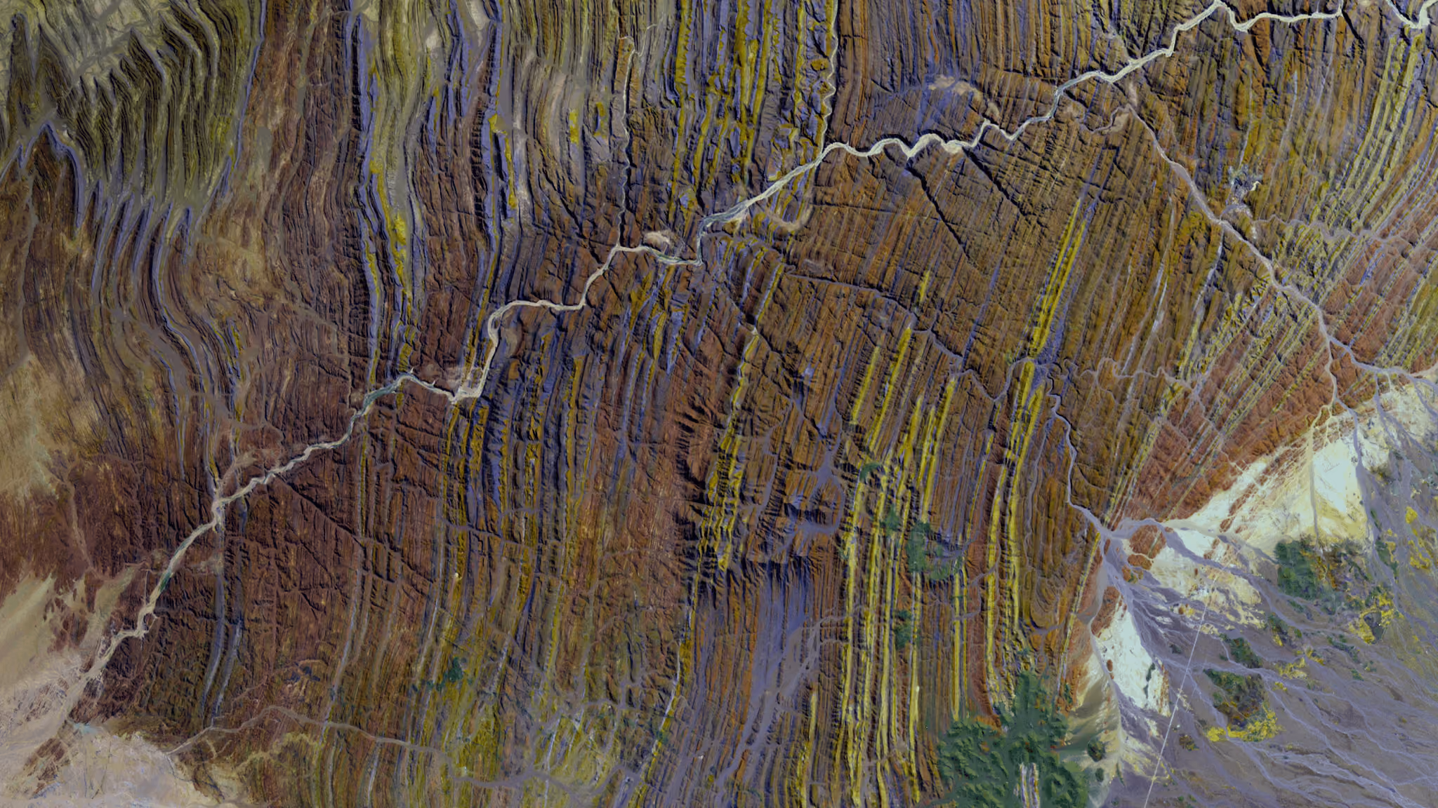
Whiteshield
From fragmented data to scalable AI models: How Whiteshield accelerates policy intelligence
View case study
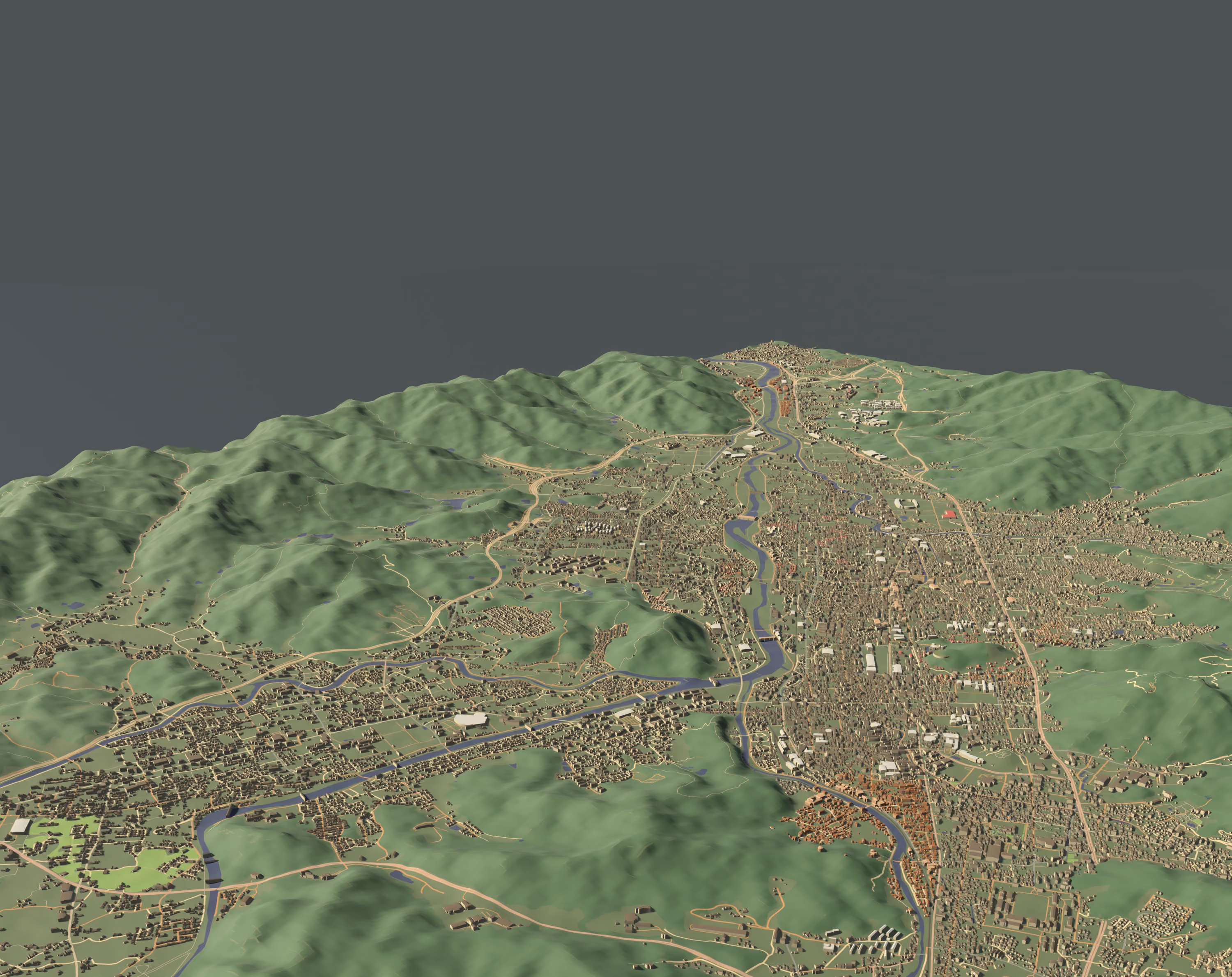
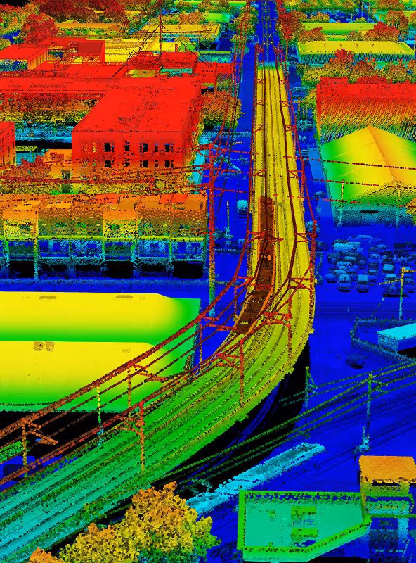
Sensat
How Sensat eliminated manual engineering work and sped up project deliveries with the UP42 platform
View case study


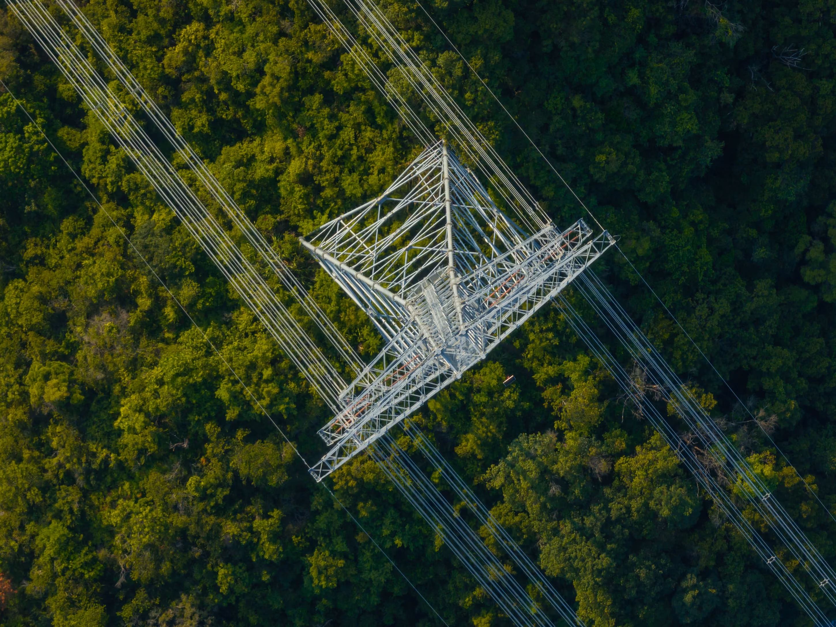
AnyWay Solutions
AnyWay Solutions improves safety and efficiency for engineering projects
View case study
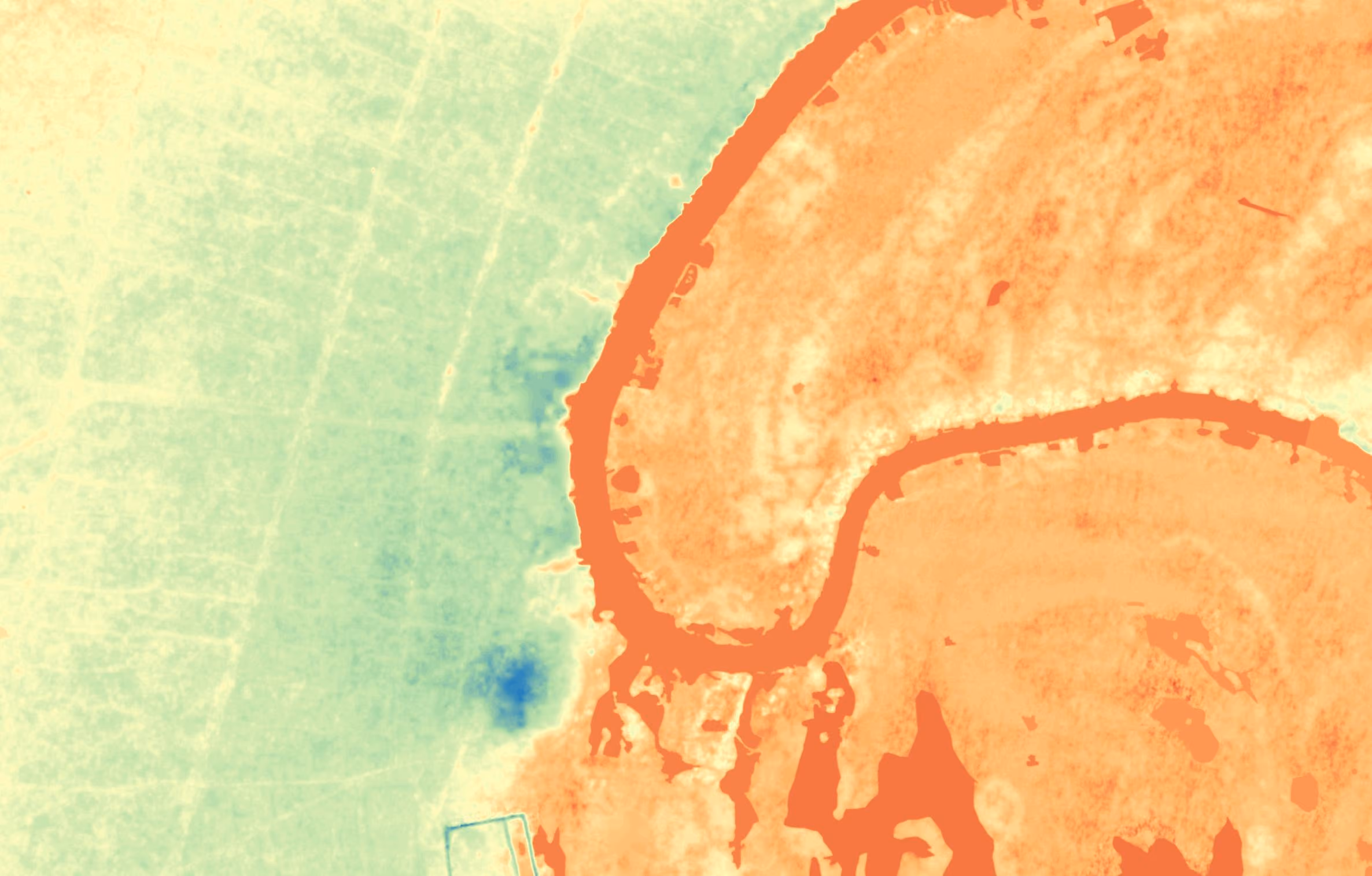
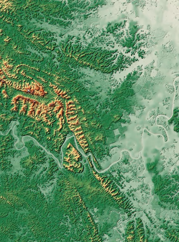
MEEO
Elevation on the Nile: Building escape routes and safe zones for flood-prone areas
View case study


Expert tasking support
Explore the UP42 platform
Create an account to order, access, and analyze geospatial data.