Fighting utility outages with high resolution satellite imagery
Customer
Overstory's AI-powered grid resilience software helps electric utilities detect vegetation risks before they lead to outages or wildfires. By combining satellite imagery with machine learning, their platform identifies where vegetation threatens grid reliability—enabling proactive, prioritized action.
Today, more than 70 utilities rely on Overstory to reduce risk, improve operational efficiency, and respond to a changing climate. By transforming complex remote sensing data into clear, actionable insight, they’re helping build a safer, more resilient electric grid.
Challenge
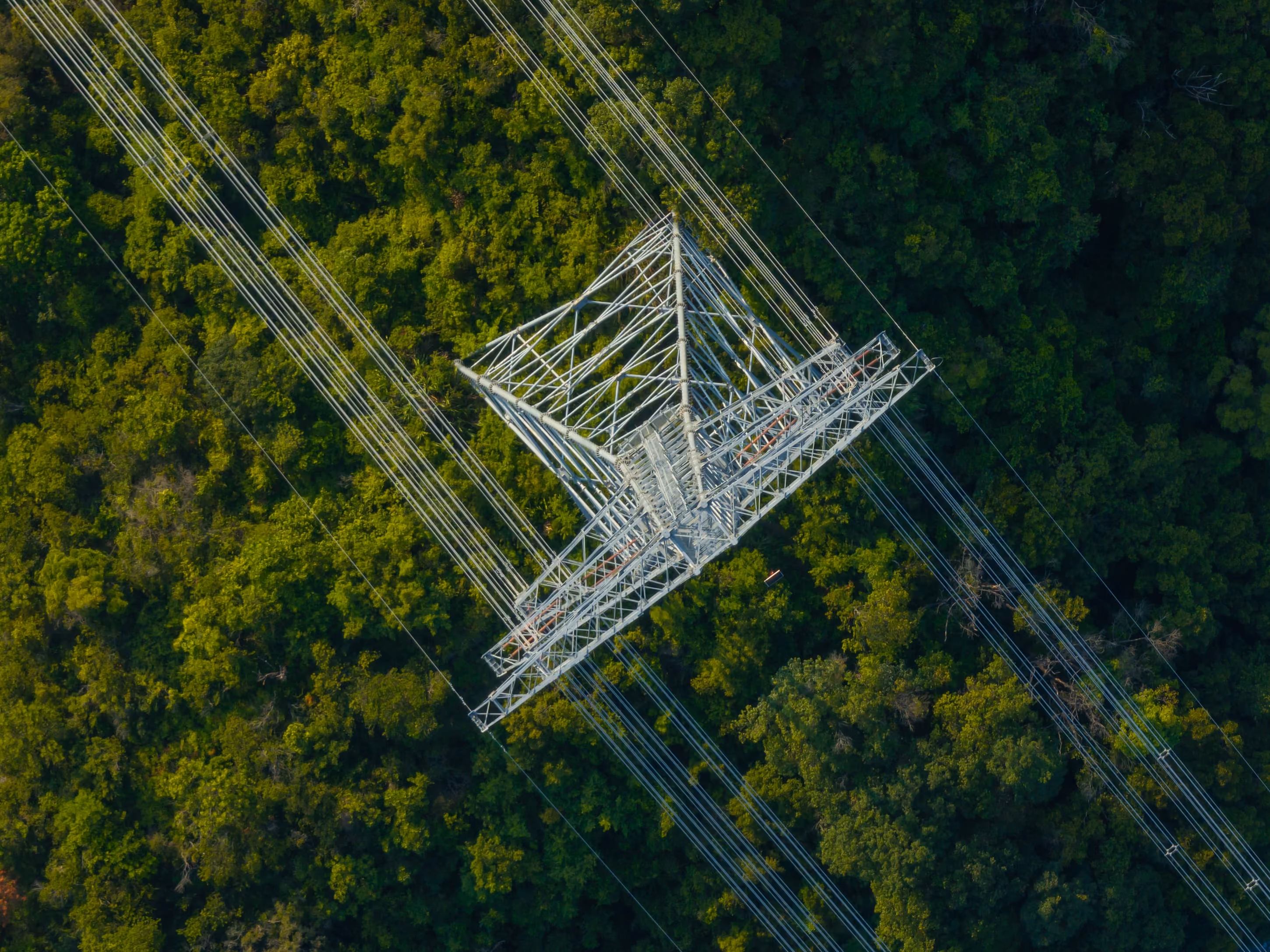
Overstory’s AI model detects wildfire and outage risks due to vegetation. To train and update their model, Overstory needed continuous access to different types of satellite data, from low and medium resolution to very high resolution.
Historically, this access has been difficult: providers are more used to working with governments and large organizations, and their methods often aren’t tailored to smaller companies. This resulted in lots of paperwork, long waiting times, and a lack of flexibility around data access. And Overstory was having this problem with nearly every provider they worked with, as they engaged with different customer support teams and different delivery systems.
They needed to find a more efficient way to get satellite data: a way that would stay feasible as they scaled up their operations.
Solution
UP42’s catalog gives Overstory easy access to archive satellite imagery from different providers. If the catalog doesn’t have the imagery they need, they can task a satellite or aerial provider to capture the needed area of interest, directly from the UP42 platform. Instant pricing estimates also show Overstory what they can expect to pay for each order, giving them more solid numbers against their budget. Once the imagery is ready, Overstory downloads it from UP42 storage, processing and integrating it directly into their solution.
Overstory mostly works with UP42’s API. The API has allowed them to automate their ordering process, saving huge amounts of manual work and ensuring a constant flow of imagery and data. They also use the browser-based console to explore new data sources and check order status.
The types of data that Overstory orders have changed over time. At first, Overstory was using more analytical data. Now, their machine learning process needs very high resolution imagery that can clearly identify individual plants and trees. They also access DTMs and DSMs through the UP42 platform, which gives them valuable elevation data and height information about natural and man-made features. All together, this enables them to train their AI model to an even higher level of precision.
Result
Automating their workflow through UP42’s API has saved Overstory a huge amount of manual work, as well as granting them an extremely high order success rate of over 99.99%. They can now access different types of data with speed and flexibility.
Thanks to support from UP42 and the Documentation hub, Overstory is fully equipped to get their data faster than ever before, and integrate it with their own solutions. Overstory even uses the Documentation hub to educate new hires on satellite imagery concepts.
Because UP42 keeps up with the pulse of the geospatial industry, Overstory stays in the loop about what’s coming, so they're able to modify their operations well in advance of changes. And it’s needed: their data collection is tripling every year. This collaboration allows Overstory to deliver precise insights to their own customers, and build machine learning models that support global vegetation intelligence.
As Overstory’s operations continue to scale up, they’re also examining other types of data such as weather data to keep improving their AI model.
Want to talk to UP42 about your business case? We'd be happy to help. Reach out to us here.
Customer quotes
"UP42 keeps a pulse on what satellite providers are doing, so we understand what’s coming and how to pivot or modify orders if needed. It’s a real partnership that allows us to deliver precise insights to our own customers and build smarter machine learning models that support valuable global vegetation intelligence."-Andrew Creamer, Data Acquisition Lead
"With UP42, we’ve got exactly what we need: a constant smooth flow of high-quality satellite data that’s easy to work with.”-Brian Lafayette, VP of Product & Strategy at Overstory
Explore the UP42 platform
Create an account to order, access, and analyze geospatial data.
