Easy downstream integrations
Use standardized data formats and simplify file management through effortless tagging, retrieval, and visualization capabilities.
Benefit from standardized formats, advanced search and filtering, and easier visualizations and integrations.
Use standardized data formats and simplify file management through effortless tagging, retrieval, and visualization capabilities.
Access pre-stored catalog AOIs or create new ones, save them to your library, and make needed modifications—all within your data management interface.
Process diverse datasets from multiple sources using an interoperable and ready-to-use format, and access the processed output directly in your data management component.
Search, filter and tagging capabilities
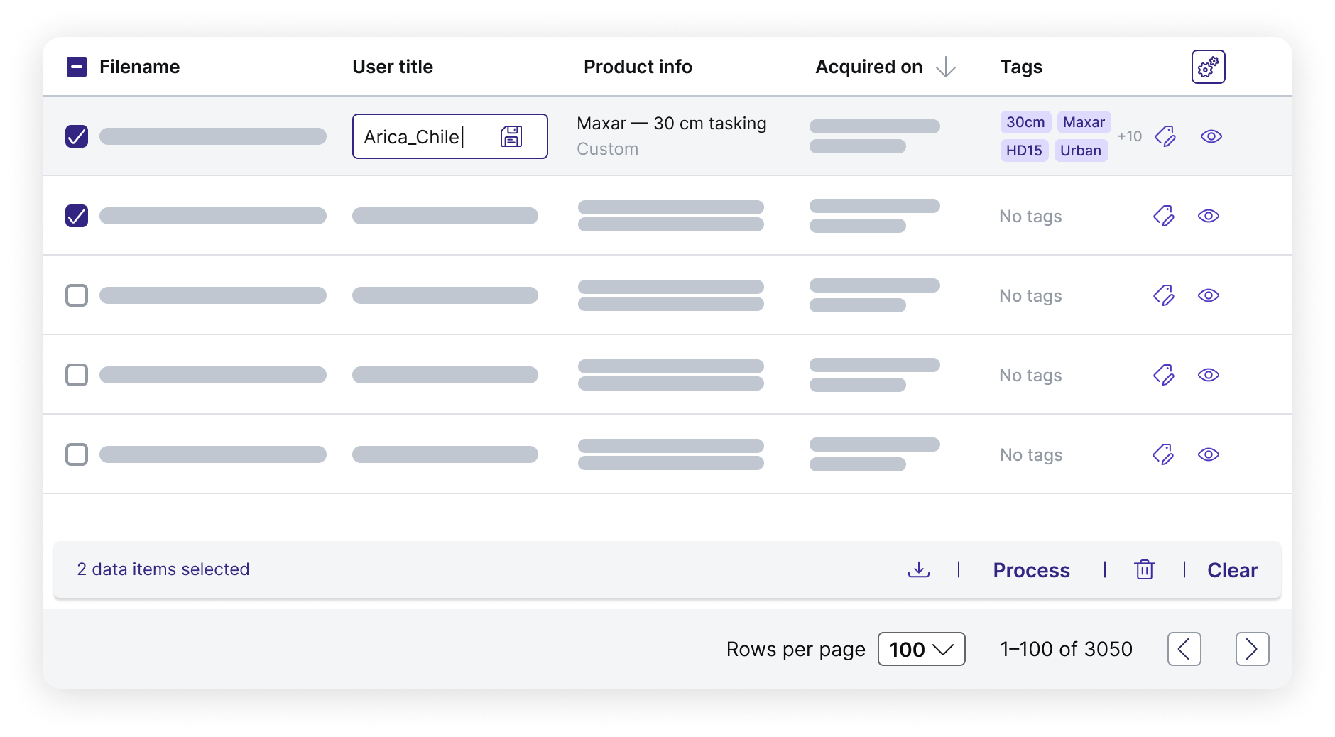
Give data custom attributes such as titles and tags for improved project alignment, search for a specific asset property, or create a consolidated view of your assets through sort and filter operations. Access data ordered on an individual account or a wider enterprise level.
Standardized formats
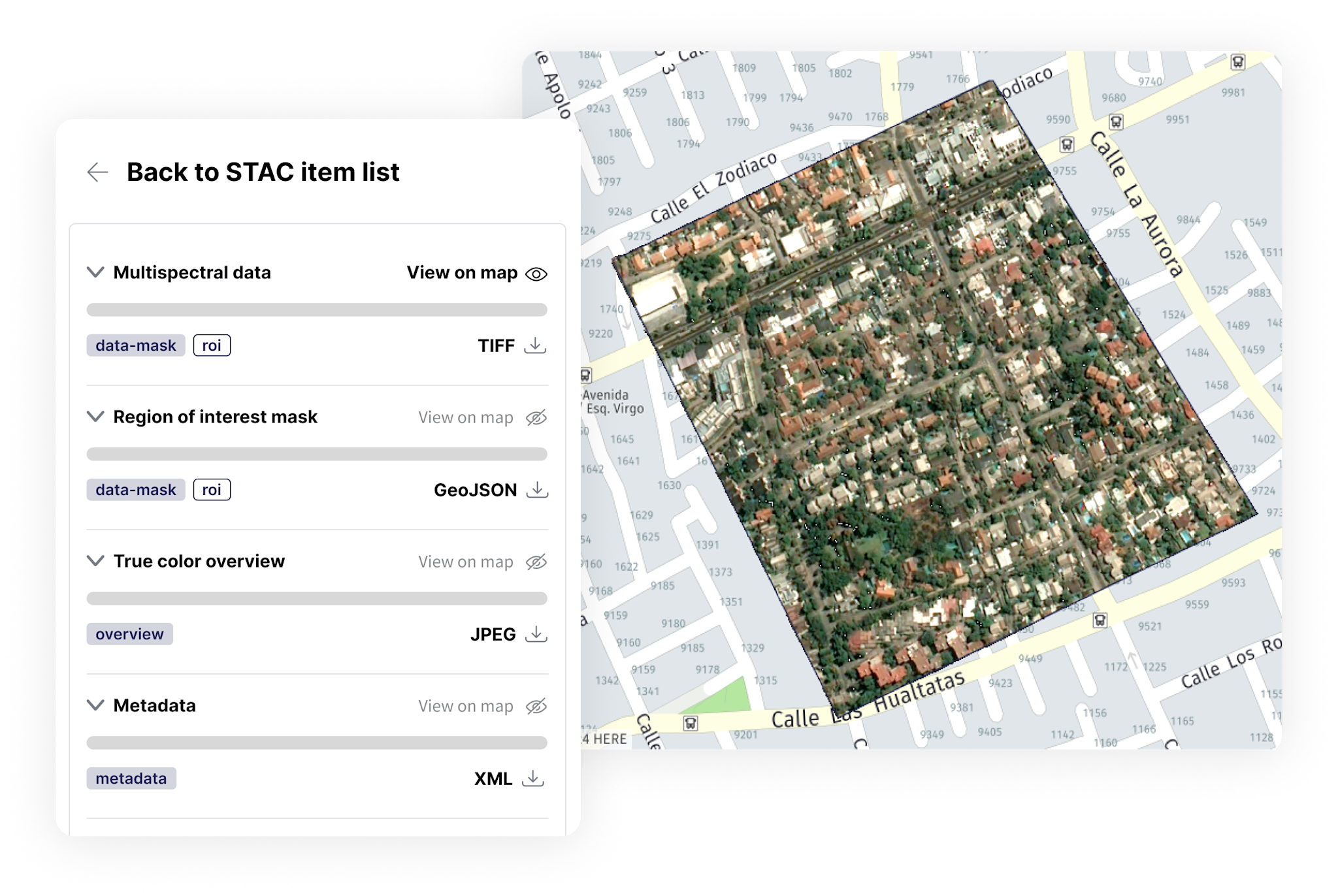
We offer STAC-compatible endpoints for all geospatial assets, ensuring consistent metadata and structure across providers. Plus, we automatically convert raster data into cloud optimized GeoTIFFs (COGs) and vector mask files into GeoJSONs. No need to grapple with various formats or naming conventions, or download compressed files—simply stream or download the specific part of the file you require.
Easy visualizations
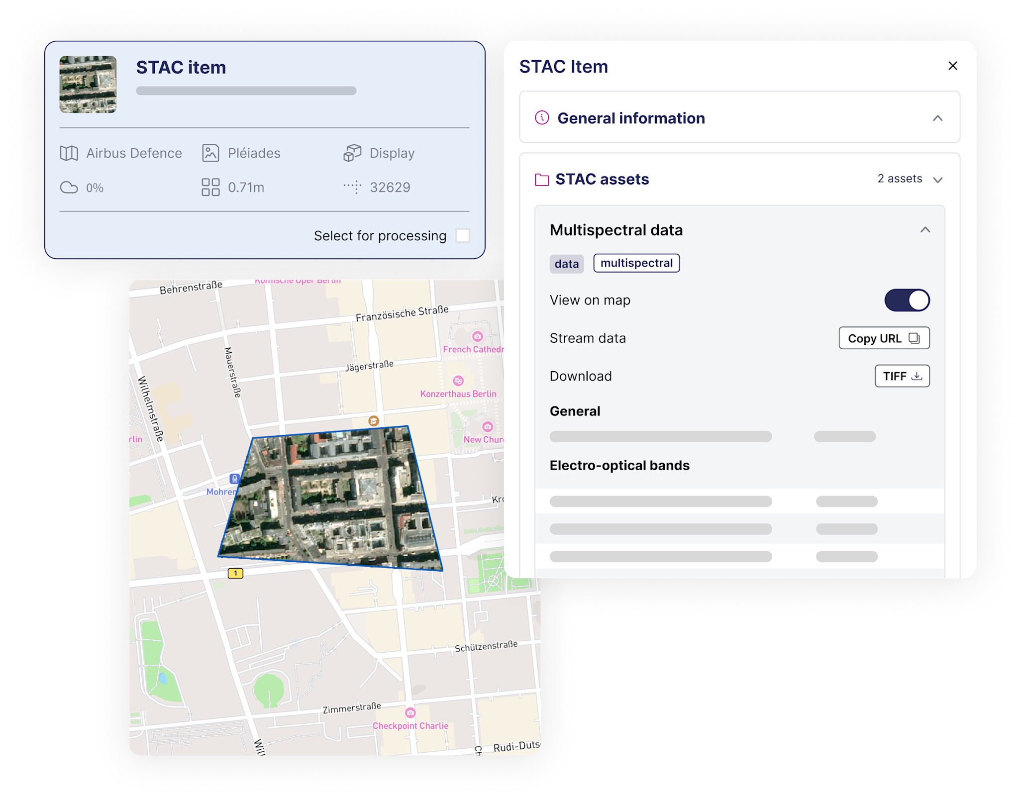
Use the map view to visualize and verify all STAC assets: search for a location or filter by creation and acquisition date, GSD, tag, order ID, collection, and much more. View multi-scene deliveries like stereo, tri-stereo, tiled, and temporal data using the scene list view.


