Earth observation for food security in Africa
Customer
KfW is a development bank that, on behalf of the Federal Republic of Germany, promotes and finances initiatives to improve economic, social and environmental living conditions across the world. With headquarters in Frankfurt am Main, two branches in Berlin and Bonn, and 80 locations worldwide, KfW is active in agriculture, water, forestry, infrastructure and energy, among other sectors. In 2021, they raised EUR 82.6 billion through international capital markets just to fund their promotional business.
Challenge
KfW faces a tremendous amount of information to process at each stage of a project, from ideation to implementation. And once a project is up and running, its impact needs to be measured.
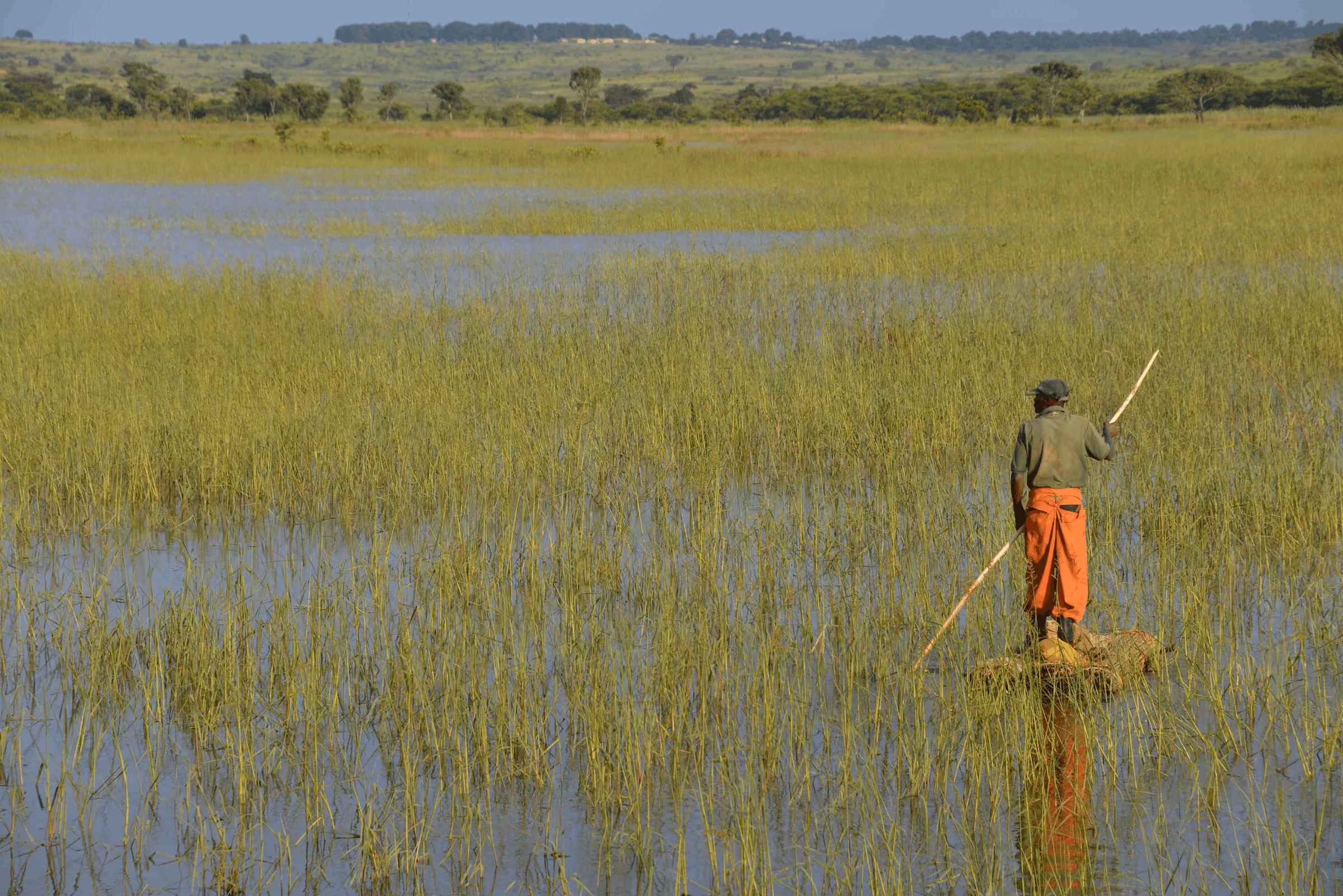
One such project was the rehabilitation of an extensive irrigation infrastructure along the Niger River. KfW financed this project on behalf of the German Federal Ministry for Economic Cooperation and Development in order to boost agricultural production and improve food security.
Verifying the implementation of the financed project, monitoring the impact, selecting adequate project implementation sites, and ensuring that socio-environmental safeguards are in place throughout the implementation phase were all activities that required geospatial information derived from or empowered by satellite imagery.
In particular, monitoring and verification require regular data collection and data processing for reporting or decision making. The collection process is usually carried out on site to maintain stakeholder relationships and gain a deeper understanding of the territory. Nevertheless, satellite imagery is a critical tool for accessing spectral information invisible to the human eye in hard-to-reach places.
Heavy rainfalls in August and September 2020 caused the Niger River’s water levels to rise far above previous records. Dams and dykes burst under the pressure of floods, with massive volumes of water engulfing over 36,000 houses, farms, and other buildings nearby without warning.
Due to the fragile local context and travel restrictions during the pandemic, and under pressure to assess potential flood damage to the irrigational perimeter in Niger, the need to use remote sensing data became a necessity. There was no other alternative.
Solution
When the monitoring phase started in 2021, KfW relied on the UP42 platform to easily access very high resolution satellite imagery (Pléiades and SPOT). This helped them observe the project's impact while also assessing potential damage to the infrastructure they financed.
The in-house GIS experts even trained non-expert colleagues to search and access the UP42 catalog. “Through a single touchpoint and with a flexible per-use pricing model, we could access imagery on different dates and seasons and have proxy information about vegetation health and usability of the irrigation perimeter, typically using the normalized difference vegetation indexes – NDVI, among others,” said Dr. Hajar Benelcadi, KfW Senior Earth Observation Expert, Sub-Saharan Africa.
By looking at the vegetation index in the areas of interest, they could see changes in productivity and usability of the agricultural plots as well as measure the efficiency of the irrigation techniques.
The overall value of the information delivered by satellite sensors for this project goes way beyond seeing things remotely:
- Rich spectral information that can't be seen with the human eye
- Historical context to understand baselines and geospatial dynamics of areas with archive satellite data
- The ability to cover large areas that we are unable to reach
Result
Satellite imagery from UP42 helped KfW gauge the long-term impact of their agricultural rehabilitation project in Niger. They could see if the massive flash floods in 2020 had damaged the infrastructure they financed and could verify that it was still intact and agricultural production was still thriving.
The project ultimately proved successful, as it facilitated the creation of wetlands, allowing for wet and dry areas. As a result, yields increased from 4t per hectare in 2015 to 7t per hectare (14t per hectare in 2 harvests). Rice fields tripled for approximately 8,000 smallholder farmers with roughly 10 family members, meaning that the agricultural rehabilitation financed by KfW has improved the living conditions of nearly 80,000 people in Niger.
Integrating satellite data into KfW’s monitoring and verification phases is part of a broader innovation agenda to expedite and improve the quality and efficiency of their projects. In fact, the cooperation with UP42 has helped KfW to set up a dedicated geodata desk with specialized capabilities. With UP42’s data API, KfW can now integrate its functionalities into their in-house web-based platforms or any other platform, potentially scaling their use of Earth observation for all future projects.
Customer quotes
“Through a single touchpoint and with a flexible per-use pricing model, we could access imagery on different dates and seasons and have proxy information about vegetation health and usability of the irrigation perimeter.”-Dr. Hajar Benelcadi, KfW Senior Earth Observation Expert, Sub-Saharan Africa
"The cooperation with UP42 has helped us to set up our geodata desk and network of geodata scouts at high speed. I’m actually very proud of the unprecedented pace at which we have experimented and learned and potentially scale up this approach within KfW."-Dr. Jochen Harnisch, KfW Head of Division, West Africa
Explore the UP42 platform
Create an account to order, access, and analyze geospatial data.
