Customer
Founded in 2019, AI Superior is a German-based AI company that develops comprehensive AI solutions and products. Their goal is to unlock the hidden potential of data through AI, machine learning, and data science development.
The AI Superior team is composed of experts who are well-versed in applying data analysis and machine learning techniques to Earth observation data, from RGB and hyperspectral to LiDAR and SAR. They also provide consulting services, education, and research and development services related to AI. AI Superior works with clients across different industries, from insurance and construction to finance and media.
Challenge
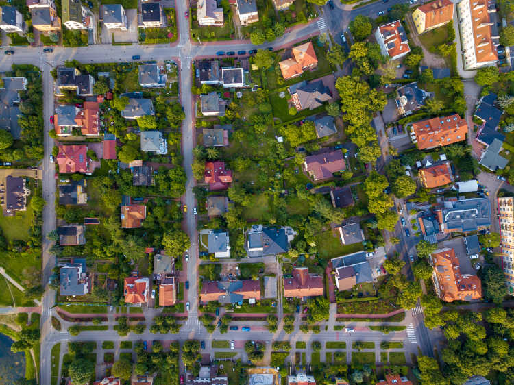
AI Superior’s client, a U.S.-based insurance company, needed a solution: the ability to estimate risk of property damage to residential properties from nearby trees.
To build an AI solution that could achieve this, AI Superior would have to train their model using high volumes of data so that it could learn to distinguish between trees, buildings, and other features. And for this, they’d need an efficient method. Drones or other types of aerial imagery were an option, but these couldn’t capture a wide enough area in a single image to be price-effective.
Satellite imagery seemed like the best choice. While there were plenty of free satellite data sources available, AI Superior needed imagery that was both recent and at a high enough resolution to clearly identify different trees. They also found that getting access to high resolution satellite imagery often comes with technical and commercial barriers, paperwork, and long wait times.
"We tried a few different ways to access high resolution satellite imagery, and found out that UP42 was the fastest and most user-friendly option." -Ivan Tankoyeu, Co-founder, AI Superior

"The UP42 console is a great choice for accessing satellite imagery through your browser. We're looking forward to using the UP42 API as we scale up for more high-volume projects." -Ivan Tankoyeu, Co-founder, AI Superior
Solution
With UP42, AI Superior found exactly what they needed.
AI Superior uses UP42’s console to access catalog imagery from Pléiades Neo. If existing imagery doesn’t fit their needs, they can task Pléiades Neo to capture a new area for them, specifying parameters like cloud cover and incidence angle. With the satellite constellation’s 30 cm native resolution, each individual tree in an image can be easily identified.
 The UP42 console in action
After their order is sent, AI Superior can monitor the status of their request through the UP42 platform’s storage. As soon as their data is ready, AI Superior receives a notification. Then, they can download it and use it to train their AI models, or analyze landscapes for their client.
Result
Access to satellite imagery through an easy-to-use interface supercharged AI Superior’s models. They were able to train their AI model to a high degree of accuracy with data from Pléiades Neo. The model was then able to analyze a U.S. metropolitan area to quickly identify over 400,000 objects (including trees and building) and estimate risk of damage. This would have taken a human inspector nearly 3 years of manual work.
AI Superior aims to keep using imagery from UP42 to train models for their clients. The platform provides the potential to task other high resolution optical sensors, such as SPOT 6/7 and BlackSky. As AI Superior scales their operation, they plan to leverage the UP42 API for future orders.
Another ongoing project is focused on monitoring port activity–specifically, training a model to identify shipping containers in different ports to measure economic activity. The junction of AI and satellite imagery allows for a ton of different possibilities; we’re excited to see what they come up with next.
Want to learn more? Reach out to our sales team. We’d be happy to talk about how satellite imagery can help you solve your business challenges. Or, sign up for free and start exploring UP42 now.