01. Pay only for your chosen AOI
We have one unified platform for purchasing data. Select the area of interest and pay only for your chosen AOI.
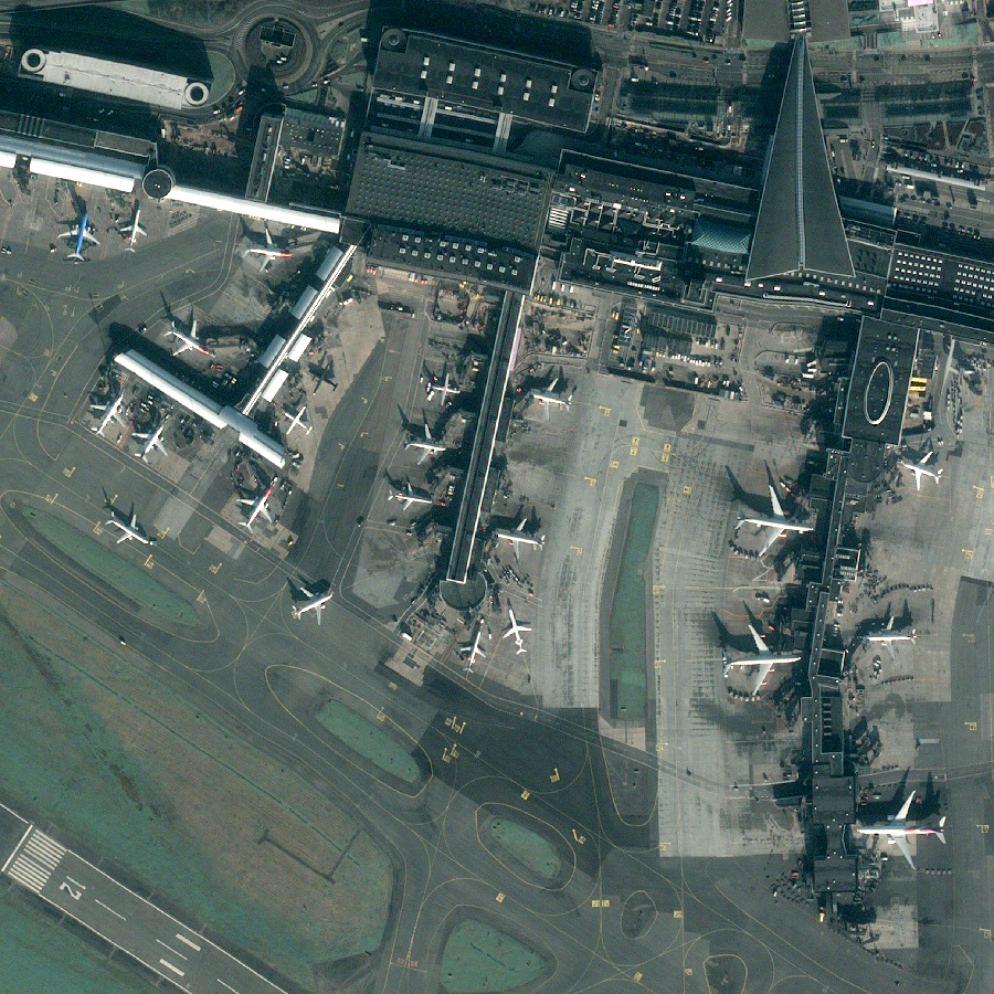
Access high-precision images starting with 30 cm resolution
Simplified access to satellite data
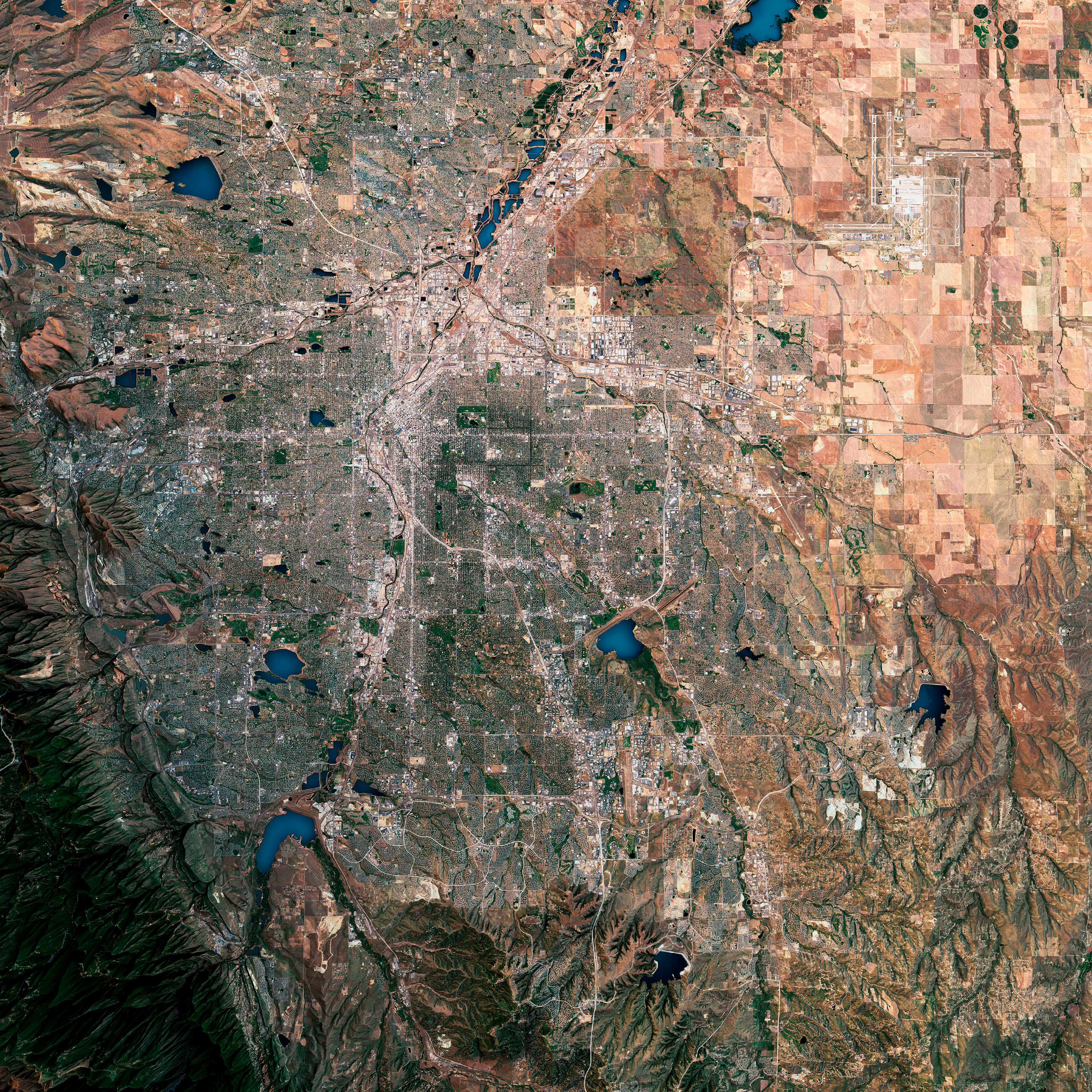
UP42 gives you access to very high resolution commercial satellite imagery from different suppliers, together in one place. Sign up and use the catalog search to browse through historical images. Or task a satellite today through our intuitive tasking interface.
UP42 Platform
The UP42 platform lets you easily search for, order, and download geospatial imagery. Our combination of datasets, flexible credit-based pricing, and high level of expert support acts as a force multiplier for GIS teams looking to scale their operations and revenues.
We have one unified platform for purchasing data. Select the area of interest and pay only for your chosen AOI.
You can configure your order with parameters such as geometric filters, date range, cloud coverage, zoom level, intersects, and many more. What matters is that you get exactly what you need.
With UP42, you can combine data with processing algorithms. Enhance the definition by applying a dedicated high-definition algorithm such as pansharpening or high resolution.
Do you need fresh imagery for a specific time and location? We manage the entire tasking process to deliver the data you need.
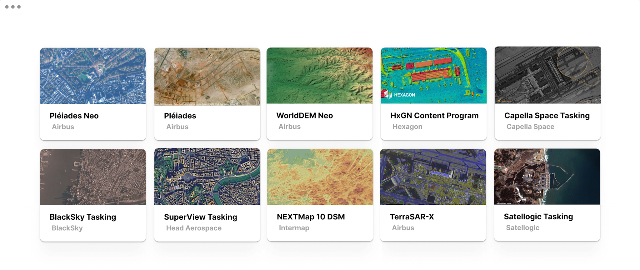
Thanks to the catalog search, you can search through multiple data sources and select the best match for your project.
Fully automate your data pipelines with our API & our Python SDK to minimize manual effort.


