As the year draws to a close, we’ve been working on releasing our final few product updates of 2019.
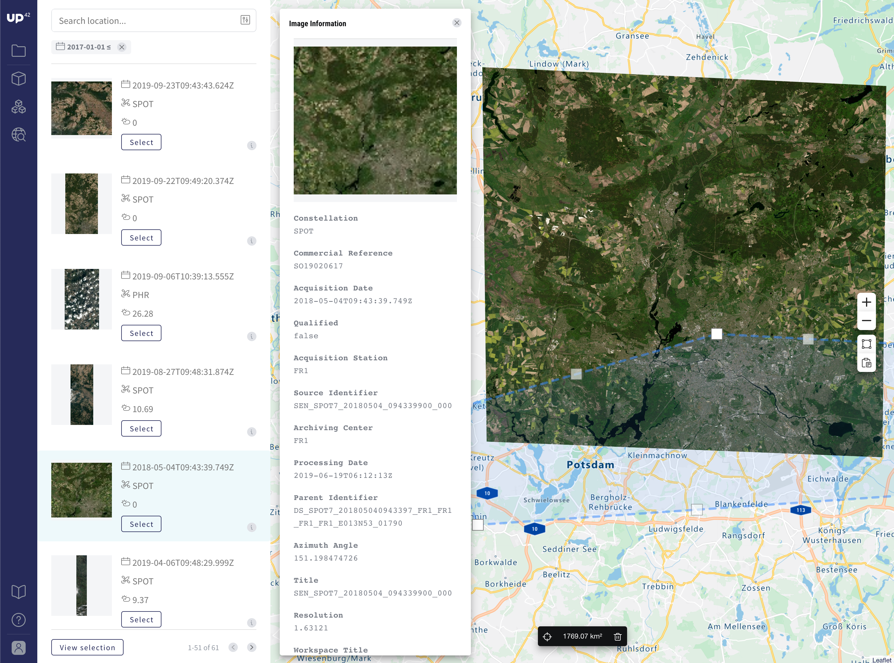
The first is a new feature: we’ve just launched Catalog Search to make it even easier to see what data is available over a certain area.
There are also new algorithms available—Orbital Insight’s Aircraft Detection, as well as a new way for you to access Sentinel data on demand.
Catalog Search
This new feature is one that we’ve designed especially so that you can see exactly what data is available over your chosen area of interest (AOI).
Before, you were required to run a test query. Now, as you select your AOI, you’ll instantly see multiple data sources that have captured the region, without needing to create a workflow first.
Here’s what you need to do:
- Log in to explore Catalog Search using your usual credentials

- Use the search tool or create a polygon on the map to select your AOI
- Filter for imagery taken during a certain date range and with the amount of cloud cover you would prefer
- Pick multiple images from the results as they appear

- Select the parameters you need and copy/paste the values into your job configuration
- Use these parameters to configure data blocks based on your selected images

Currently, Catalog Search is only available to search Pléiades and SPOT data catalogs, with support for others coming soon.
If there’s a specific catalog you’d like to see first, please let us know by emailing [email protected]!
Aircraft Detection
We’re also excited to share that Orbital Insight’s Aircraft Detection processing block is now available.
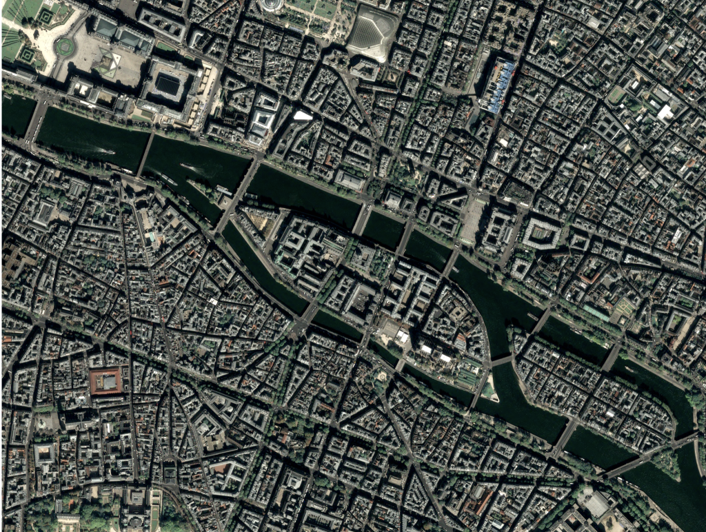
Aircraft Detection uses wide-area object detection on Pléiades imagery, enabling you to classify multiple types of aircraft.

It detects aircraft on 1024x1024 GeoTIFF images and creates bounding boxes that correspond to the location of individual aircraft. The algorithm was trained in over 50 countries and can detect a variety of aircraft types during different times of the year and in varying terrain.
Top tip: use this algorithm with the Pléiades Streaming and Raster Tiling blocks.
Sentinel-5P Level-3 Processor
We’ve created the new Level-3 Processor block so that it’s now possible to access Sentinel 5-P Level-3 data on-demand.
Using the European Space Agency’s (ESA) free data sources, we developed this block so that you can easily convert Sentinel-5P Level-2 data with an irregular grid, into Level-3 where the pixels are defined by latitude and longitude.
The block resamples the data to a regular spatial pixel grid. It can be applied to all Sentinel 5P atmospheric products — supporting climate, air quality, and ozone measurements across the globe.

What’s next for UP42?
It’s been an exciting 2019 for us. From being founded in Berlin in May, to our commercial product launch in September—we’re proud of everything our team has achieved already.
Our main focus for the beginning of next year is to diversity our data sources. To bring you many perspectives on the planet, from many data providers.
At the same time, we’ll be working on more platform features such as evolving Catalog Search, introducing user storage, and improving our current input/output block capabilities with a more flexible approach. Stay tuned for more updates in 2020!


