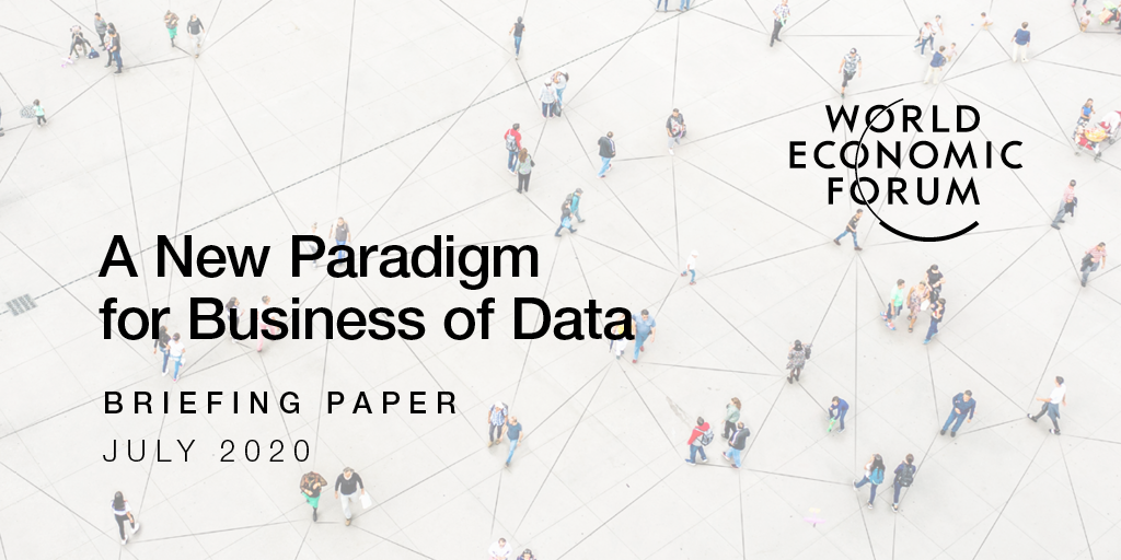
A recent study into sustainable data ecosystems has featured UP42 as an example of a geospatial marketplace—contributing to changing the way geospatial data is accessed and analyzed.
The ELISE or European Location Interoperability Solutions for e-Government report is funded by ELISE Data Ecosystems for Geospatial Data.
Its aim? To identify and analyze a set of successful data ecosystems and develop a set of recommendations in support of contemporary Spatial Data Infrastructures in line with the recently published European strategy for data.
The report, titled Establishment of Sustainable Data Ecosystems, explores and supports the evolution of contemporary spatial data infrastructures that can act as a catalyst of data-driven innovation in line with the recently published European data strategy.
Five of the identified case studies and use cases, including UP42, were selected for in-depth analysis.

Among those include Spire, who build and manage a constellation of nanosatellites—as an example of tracking technologies for supply chain.
Spire collects and distributes Earth observation data, maritime data, AIS messages, aviation data, using ADS-B data, and weather data using radio occultation.
API-Agro, a B2B data exchange platform operated by Agdatahub, illustrates smart agriculture.
Made up of 30 partners representing the agricultural sector, including private companies and public bodies, API-Agro provides a functional, technical, commercial, and legal framework for data exchange between stakeholders.
UP42 was described as “a marketplace and developer platform providing access to both data and analytics from multiple sources.
The report mentions that UP42 offers a value distribution model contributing to changing the way geospatial data is accessed and analyzed.

We’re proud to be recognized by the European Commission’s ELISE report in this way—and to be explored as a case study for geospatial data marketplaces. Hopefully this inspires more innovation in the field as we work towards increasing geospatial data accessibility.
The resulting recommendations of the report fit within four complementary categories:
- The governance of the ecosystems
- The engagement of the relevant stakeholders
- The technical dimensions
- The overall economic sustainability
Each recommendation highlights the main challenges to overcome, and explores the main actors involved in each category.


