How oil & gas companies can centralize their Earth observation operations
Editor's note: on November 4th, we're hosting a webinar on Earth observation for the oil & gas industry! Sign up here.
There’s massive demand for remote sensing data within the oil & gas industry. But out of all those companies, how many of them are acquiring and using that data efficiently? From what we’ve seen, there’s room for improvement.
Data scientists, engineers, GIS professionals, and geoscientists in the industry often spend huge amounts of their working hours searching for and organizing data, instead of the much more important analysis that they’re there for. This, and other types of poor data management practices, end up costing big chunks of revenue each year through delayed schedules and misinformed investment choices.
No surprise here. Earth observation data has many possibilities, but managing multiple vendors and dealing with disparate data creates bottlenecks and inefficiency, especially for companies with global operations.
The UP42 platform is designed to remove this administrative strain.
At a glance:
- The UP42 platform centralizes Earth observation data procurement and management while granting strong budgeting and governance capabilities, simplifying work for field teams and finance teams alike
- UP42 helps companies keep technical talent focused on high-value analysis, protects profit margins while keeping field operations safe and on schedule
- Oil & gas companies use EO data for many different use cases, including exploration, infrastructure and pipeline planning & monitoring, and environmental compliance and reporting
How the UP42 platform helps oil & gas companies to save time and money
Vendor sprawl is one of the biggest challenges facing oil & gas companies. If a company is buying imagery from multiple providers, that means separate contracts, inconsistent delivery formats, and fragmented internal software setups, along with potential gaps for compliance, budget, and reporting errors to slip through.
UP42 solves this problem by giving oil and gas companies a single platform to centralize their operations.
- One single contract: Teams gain instant access to global archives and on-demand satellite tasking from top commercial vendors through one master agreement, eliminating separate vendor procurement cycles.
- Centralized purchasing and budget management with monthly billing: Admins can allocate budgets to different business units and avoid duplicate purchases, as well as map spend to automate financial reconciliation.
- Integrate standardized data into workflows: The platform allows users to automate ordering and ingest data directly into applications using the UP42 API and Python SDK. Users can also stream imagery for visualization via WMTS, with no downloading required. Standardized data formats help teams to cut down on manual engineering time.
- Enterprise-grade security and compliance: Enterprise administrators can enforce team access controls company-wide. The UP42 platform is also certified for SOC 2 Type II compliance.
Transitioning from manual, provider-by-provider data collection to a centralized platform provides huge benefits. After making the switch, field teams will move faster, from initial image acquisition to analysis. And finance and procurement teams will have clearer oversight of their budgets and their operations.
How is the oil & gas sector currently using EO data?
We’ve covered how UP42 can help. Now let’s look at the data itself, and its uses.
Teams use many different types of imagery, from optical and hyperspectral to synthetic aperture radar (SAR) and elevation models. In some cases, existing archive imagery does the trick, but in many others, teams need to task sensors to capture fresh data, or for continuous monitoring. As we’ve already covered, doing this through many different providers, and dealing with the resultant disparate data types, can lead to ever-increasing operational complexity.
Here’s a more in-depth look at how teams use EO data throughout different stages of the process.
Upstream precision exploration
Upstream exploration and production is the segment where oil and gas companies usually spend the most on Earth observation data. The most common uses are:
- Well pad placement: imagery helps teams put well pads where they disturb the least ground.
- Competitive intelligence: fresh images show new pads and rigs on nearby acreage, so a team can see what neighboring operators are up to.
- Asset inventory: imagery makes it possible to map wells, tanks, flowlines, and lease roads across a whole basin.
- Change detection: comparing images over time flags new construction and ground deformation.
- Cut and fill analysis: DEMs with under 1 meter accuracy let civil engineers estimate earthwork for a pad before any dirt moves.
- Seismic planning: elevation data helps crews lay out survey lines around steep or hard-to-reach ground.
- Offshore monitoring: SAR checks known oil seeps and slicks against new captures and keeps watch on platforms.
Many of these jobs used to need someone in a truck. Moving routine site checks to satellite and drone monitoring cuts travel costs and keeps people out of remote areas. Teams are also starting to run AI models across satellite and seismic data together, to tie what they see on the surface to what lies beneath.
Midstream persistent monitoring
Midstream is the fastest-growing part of the oil and gas remote sensing market. Pipeline operators use EO data for:
- Right-of-way (ROW) monitoring, to catch digging or construction activity near a line before it causes damage
- High consequence area (HCA) checks, such as finding new structures within about 200 meters of a pipeline
- Ground movement and subsidence tracking with SAR
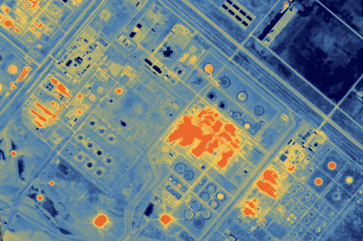
- Leak and methane detection with thermal and hyperspectral sensors
- Security and safety monitoring at LNG export terminals, such as those being built along the southern U.S. coast that may be hit by hurricanes
For pipeline work, how often a satellite passes over a site now matters more than how sharp the image is. Operators want frequent updates along thousands of miles of ROW, and aging lines next to growing towns raise the stakes. This will take a multi sensor approach to solve this problem.
U.S. rules are also moving in this direction. In July 2025, the Pipeline and Hazardous Materials Safety Administration (PHMSA) issued a direct final rule saying satellites and drones can be used for ROW patrols under 49 CFR Parts 192 and 195. PHMSA withdrew that rule in October 2025 after receiving comments, then proposed it again as a standard rulemaking in April 2026. Operators planning satellite patrol programs should keep an eye on where that proposal lands.
Environmental compliance and ESG
Environmental monitoring is now a $340 million-plus niche within the North American remote sensing market, and methane detection is its biggest use case in 2026. The main jobs are:
- Methane detection: hyperspectral and SAR data help find leaks across wide areas; hyperspectral directly, and SAR through indirect measures such as infrastructure changes or ground deformation. Rules in the US and Canada ask for leak data that can be checked and audited, even as the timing of US requirements has shifted.
- Saltwater disposal (SWD) leaks: in Texas, penalties for SWD leaks can top $10,000 to $25,000 per day for each violation, so catching a leak early pays off fast.
- Pad site reclamation: imagery shows whether old pads have been restored to the required standard. Civil penalties for reclamation failures can reach $250,000.
- Carbon capture and storage (CCUS): the Gulf Coast is drawing large CCUS projects, from the super majors to large independent operators, along with new CO2 pipelines. Each project needs long-term surface monitoring around the storage site.
- Historical comparisons: archive imagery gives teams a way to understand how site locations and assets have changed over time, even pre-operation.
Most operators now treat environmental monitoring as an operations tool. A leak equals lost product, and a missed reclamation deadline means a fine.
Centralize your operations with the UP42 platform
By automating data ingestion and processing, UP42 helps energy operators shift their technical talent back to higher-value decision-making. Reducing uncertainty around well pad construction, pipeline integrity, and regulatory compliance protects profit margins while keeping field operations safely on schedule.
Want to find out more about how the UP42 platform can help with oil & gas use cases? Just reach out to us. Our team would be happy to help.

Subscribe to our newsletter
Stay up to date and learn about our fast-growing new features