Centralized governance & standardized data
Replace fragmented data management with a unified strategy. Consolidate projects and deliver harmonized, analysis-ready data directly into your workflows.
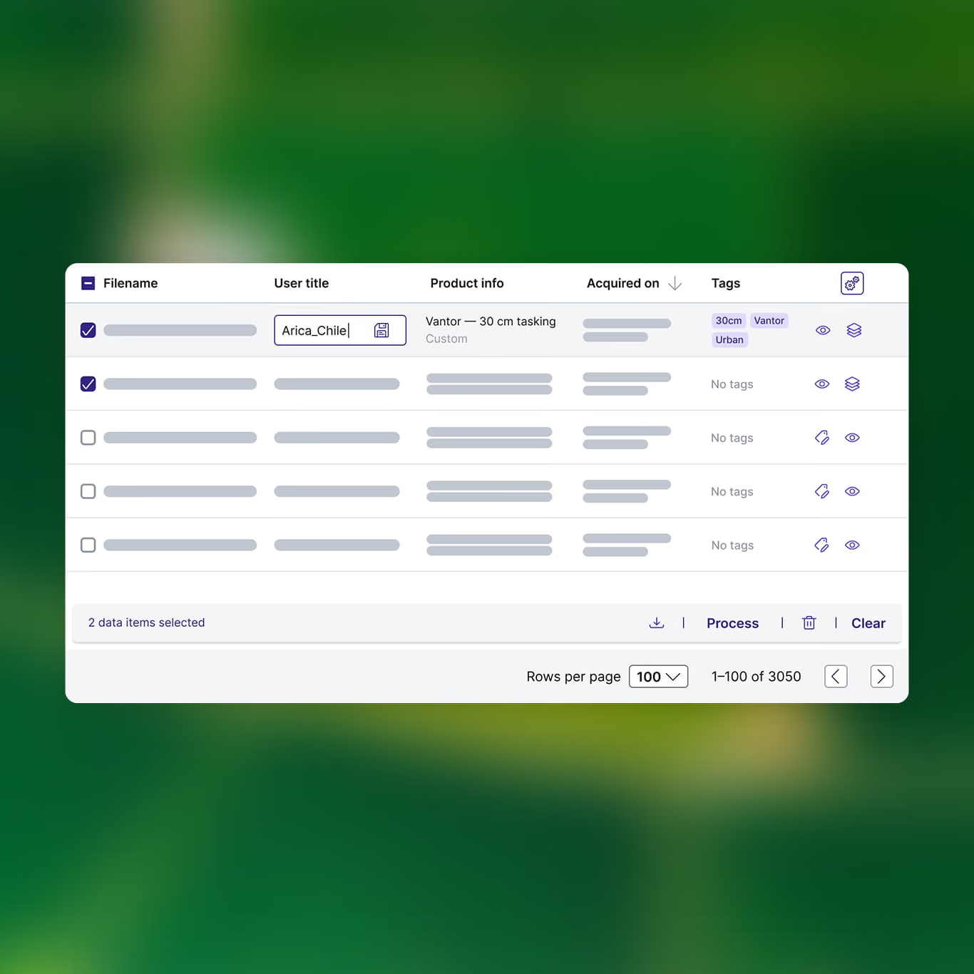
Control your geospatial spend
Gain full visibility over your organization's workflows by centralizing all orders and assets in one secure repository.
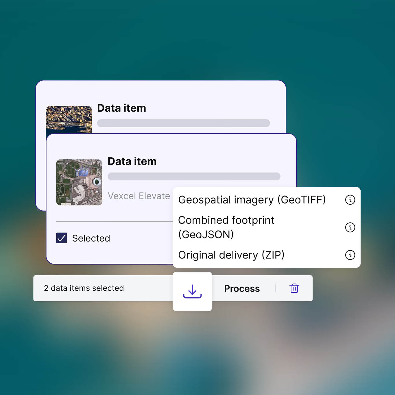
Eliminate format inconsistencies
Raster files are automatically converted into COGs and vector files into GeoJSONs, saving valuable engineering time.
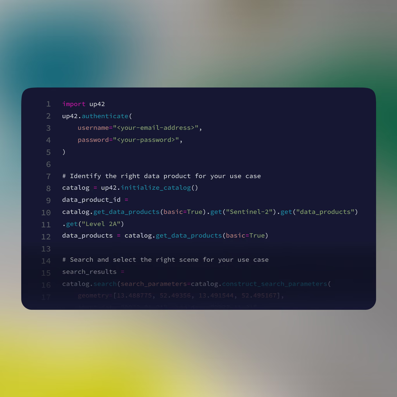
Scale via API and SDK
Automate data ingestion directly into your pipelines using the UP42 API or Python SDK. Standardized output formats reduce preprocessing time, allowing your team to move from acquisition to analysis faster.
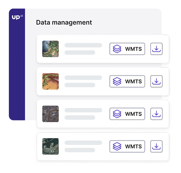
View imagery without local files
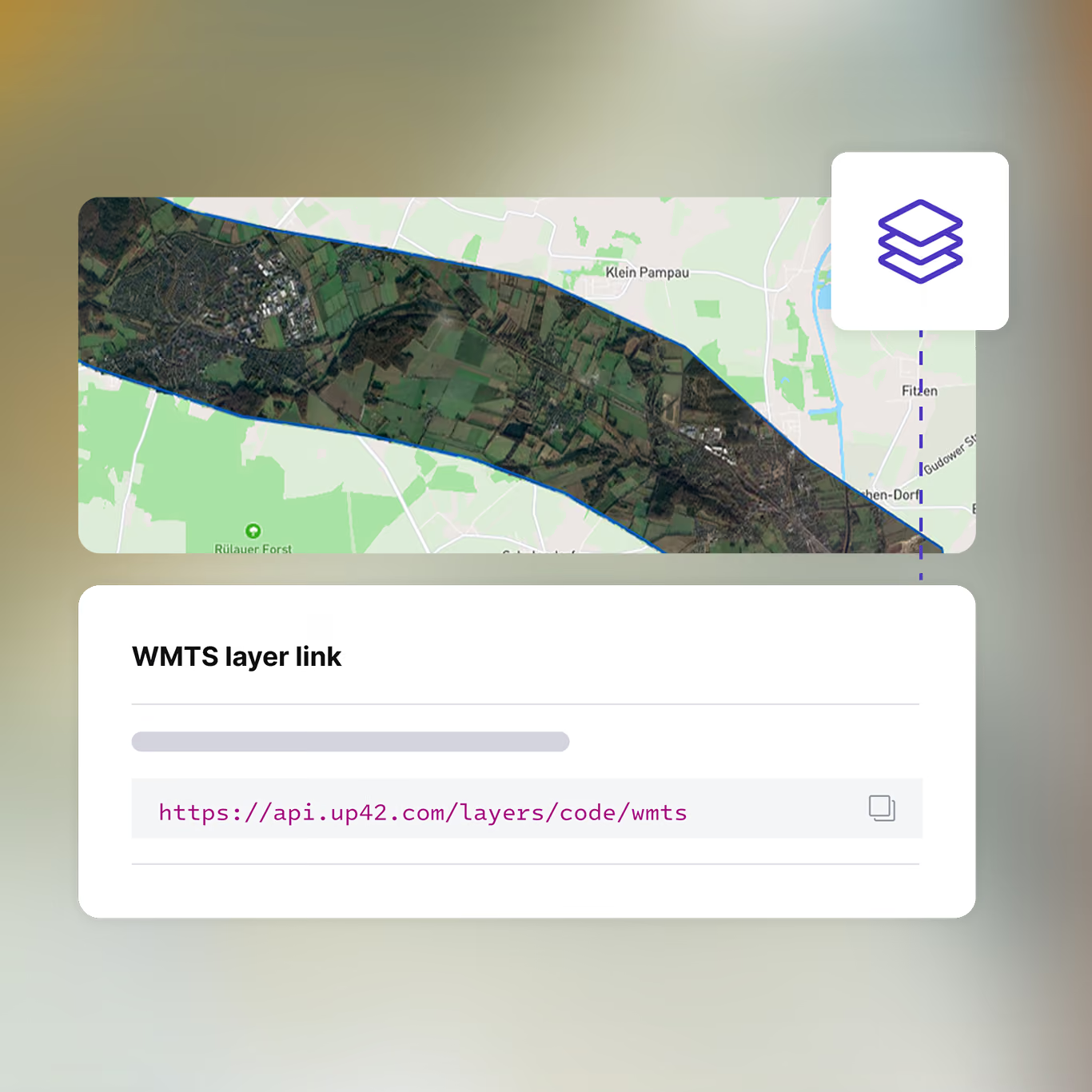
Stream only the pixels you need for immediate visualization using WMTS, without managing local storage or large file transfers.
Integrate into your existing ESRI environment
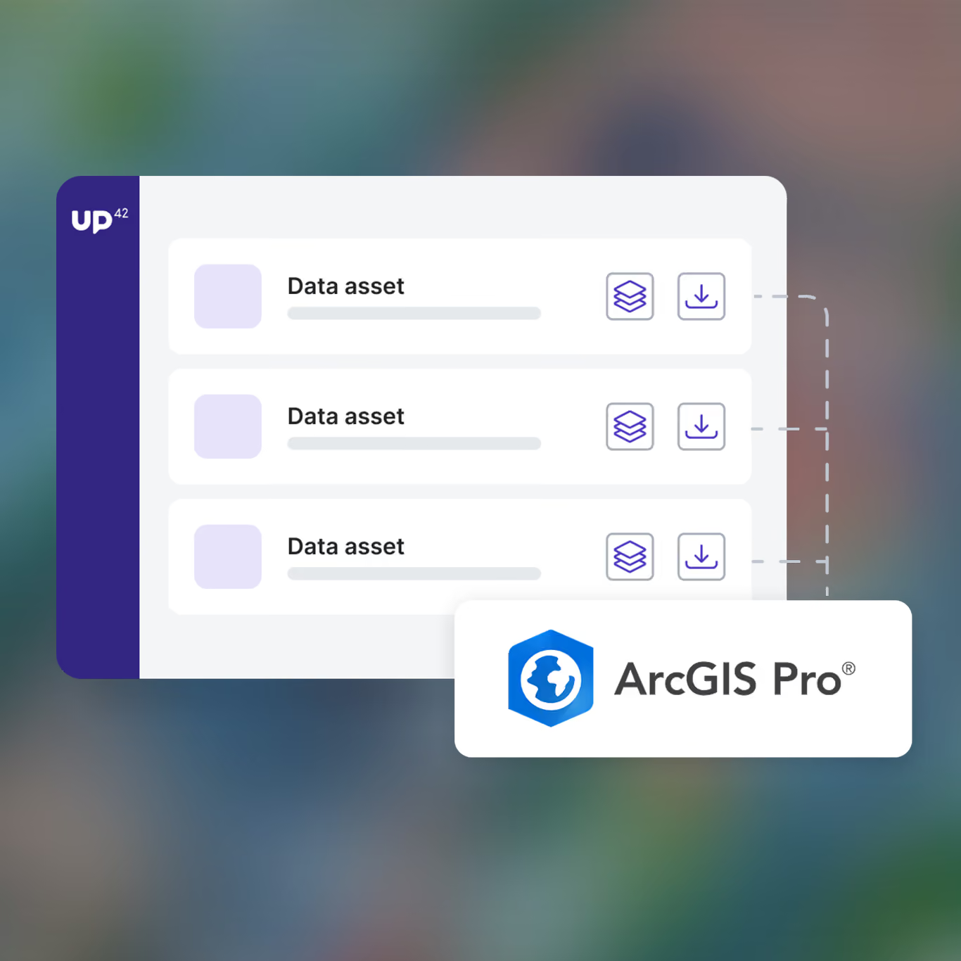
Search, order, and analyze imagery directly within ArcGIS Pro. Our native plug-in removes the need to switch between platforms, maintaining a continuous workflow from procurement to production.
FAQs
Data management applies to all assets you’ve obtained from orders and processes. It’s powered by STAC functionalities and our cloud-native asset model, ensuring that all data is standardized, easy to find, and ready to use.
Spatio-Temporal Asset Catalog (STAC for short) is a standard specification for geospatial data. It provides a common structure and set of metadata for geospatial assets, which makes it easier to find and sort them.
The cloud-native asset model, or CNAM, transforms delivered tasking or catalog orders into individual geospatial features available for immediate download.
CNAM standardizes the following types of files to enable easier integrations:
- Raster data is converted into cloud-optimized GeoTIFFs (COGs)
- Vector mask files are converted into GeoJSONs
This means that teams don’t need to spend time standardizing delivered data: the data is already standardized, no matter the original provider.
Within the data management tab, users can process geospatial assets into analysis-ready data with enhancement algorithms, or identify insights with analytics processes. See our processing page for more information.
For users on our Enterprise plan, you can also stream assets to generate a raster map layer composed of pre-rendered image tiles from the Web Map Tile Service (WMTS). Layers are used to optimize map display in a GIS application at multiple zoom levels.
As well as visualizing your assets within the UP42 console, we also support data visualization in QGIS, a free open-source software. You can either stream the assets, as mentioned above, or download them completely and upload the full file to QGIS. For all the info on visualizing your data, please see our documentation.
Still have questions?
Get in touch with us!
See what you can do with UP42
