Turn data into analysis-ready assets
Configure jobs in seconds, track progress, and scale your pipelines without the overhead.




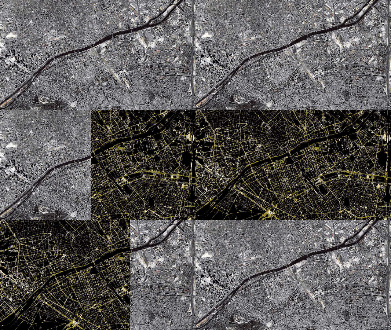
Make satellite and aerial data ready for analysis
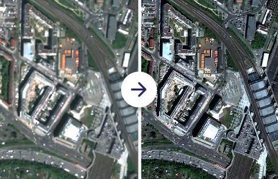
Pansharpening
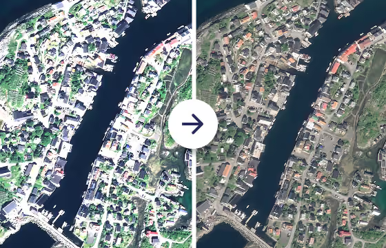
Fuses a high resolution panchromatic band with lower-resolution multispectral bands from an optical collection. This process maximizes image clarity by combining sharp spatial detail with rich spectral information.
True color conversion
Applies color curve correction and bit conversion to 16-bit encoded RGB bands from Pléiades, Pléiades Neo, and SPOT collections to output 8-bit True Color GeoTIFFs.
Orthorectification
Corrects geometric distortions caused by terrain variations and sensor angles. Using high-resolution Digital Terrain Models (DTMs), the algorithm accurately shifts pixels to their true map locations.
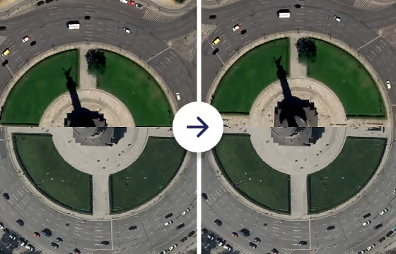
Coregistration
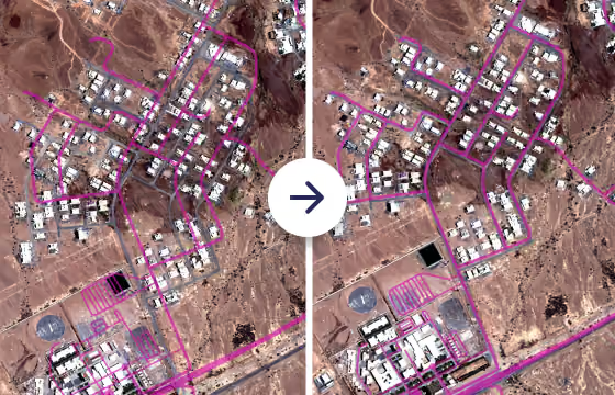
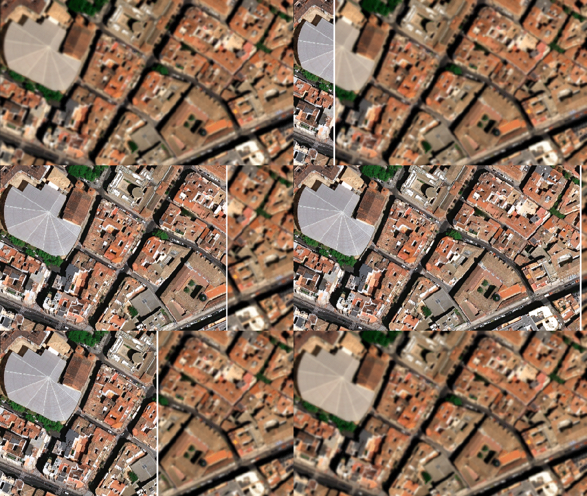
Automatically aligns source imagery to a reference using rigid-body transformation. By eliminating misalignments between different acquisition dates, the algorithm ensures high positional accuracy.
Upsampling
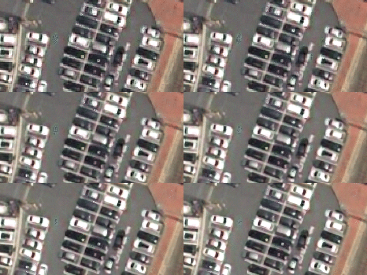
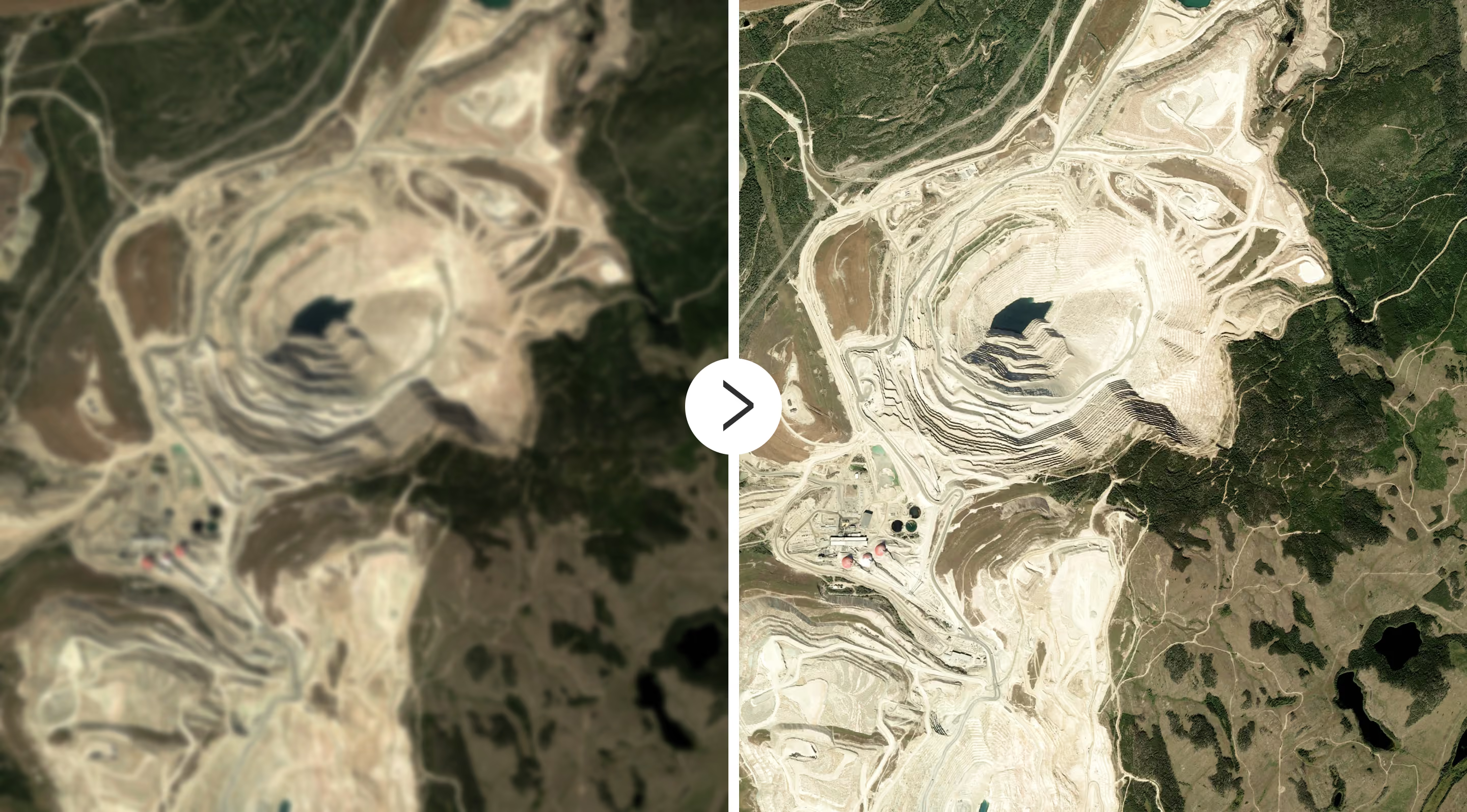
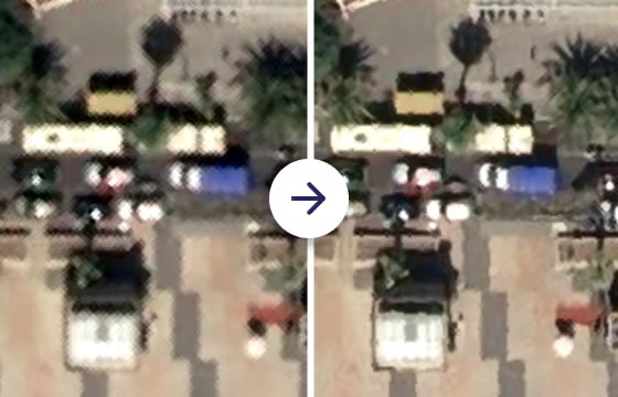
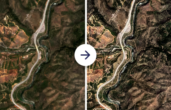
Enhances the spatial resolution of RGB bands using convolutional neural networks. By improving the detail of your acquired imagery, the algorithm ensures optimal preprocessing for downstream analytics.
Extract insights from your data
Change detection
Simularity
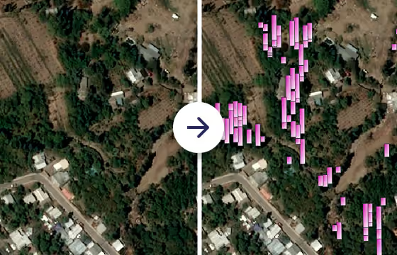
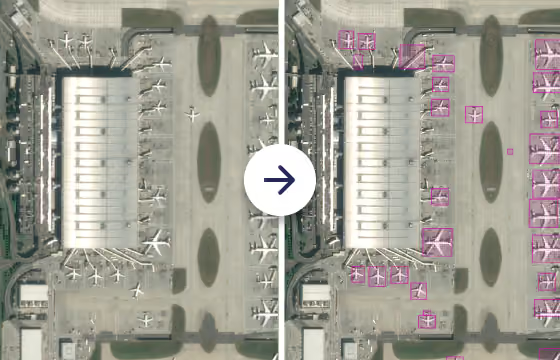
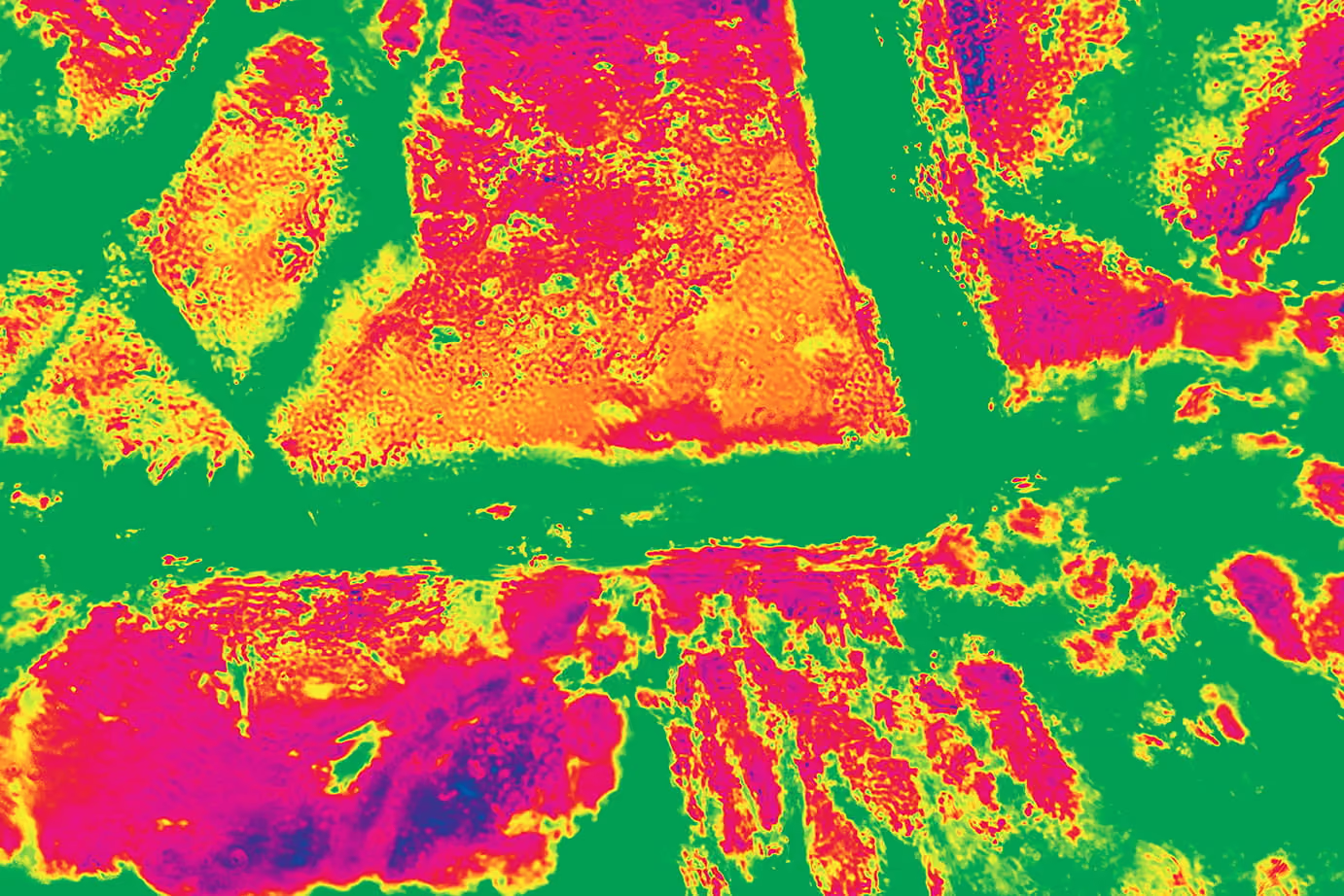
Automatically aligns and compares a source image against a reference image. After eliminating misalignments between the dates, the algorithm isolates physical changes to deliver insights across your target areas.
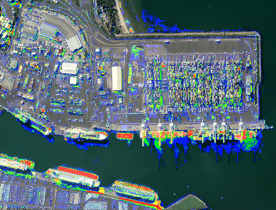
Shadow detection
Spacept
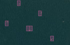
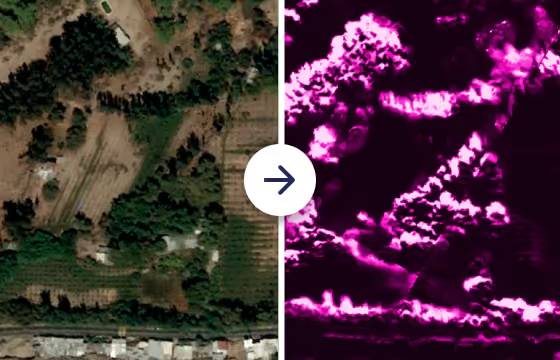
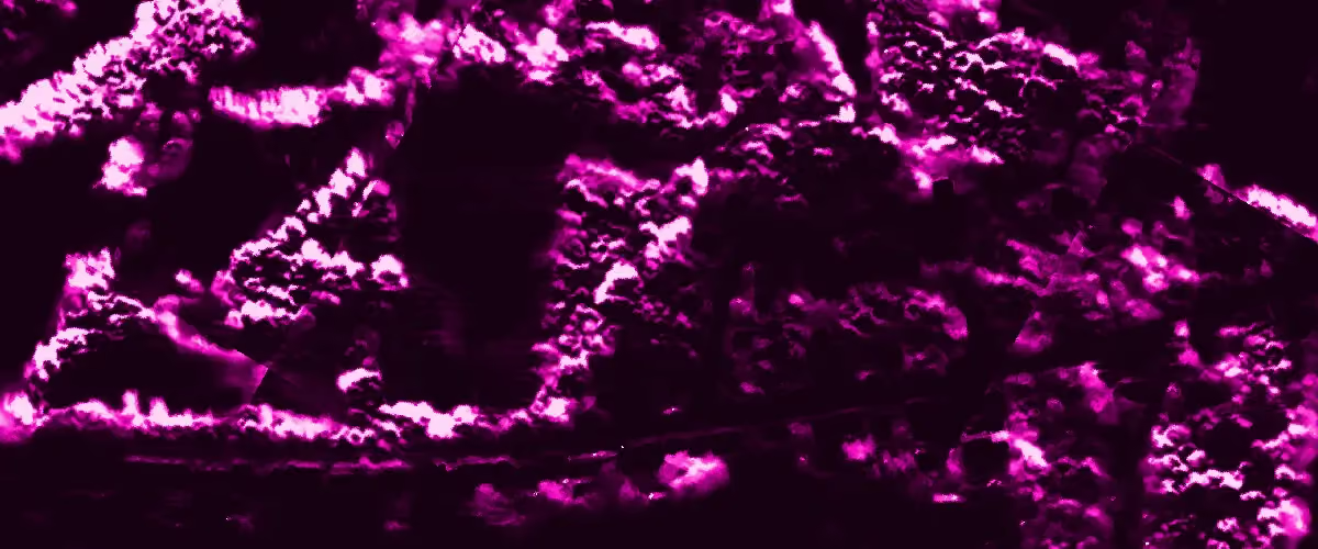
Identifies shadow pixels within SPOT, Pléiades, or Pléiades Neo imagery. The algorithm evaluates the scene to generate a precise probability map of shadow coverage.
Building detection
Spacept
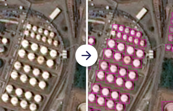
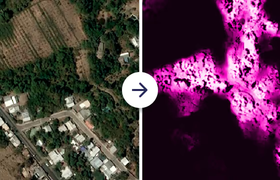
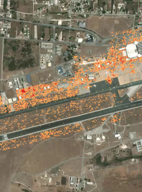
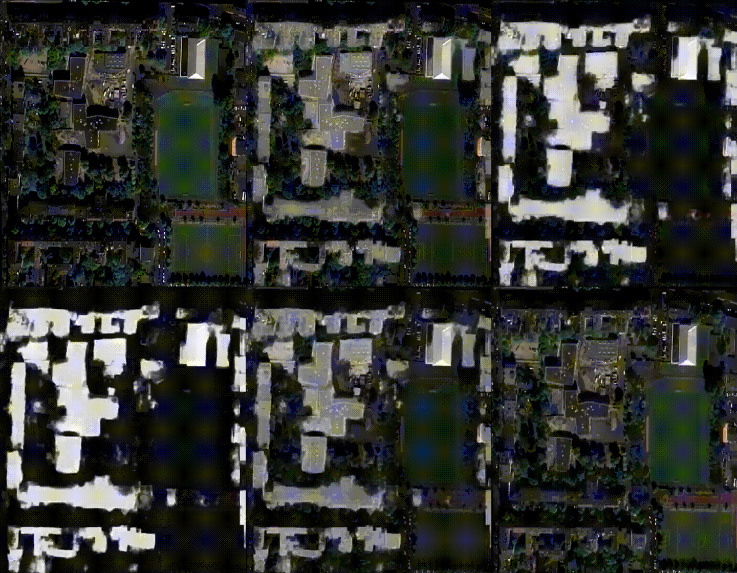
Identifies building footprints within SPOT, Pléiades, or Pléiades Neo imagery. The algorithm evaluates the scene to generate a precise probability map of structural coverage.
FAQs
You can process your delivered orders on the UP42 platform within the data management area. Please note that not all processes can be run on all types of data; for example, pansharpening can only be run on certain types of optical data. For the full list of which processes can be run on which imagery, please see our documentation.
There are two main types of processing algorithms on the UP42 platform: enhancement and analytics.
Enhancement algorithms improve the image itself, through processes including orthorectification, pansharpening, and true color conversion. These algorithms help transform raw data into Analysis-Ready Data (ARD) for further processing.
Analytics algorithms give you information about your data, including change or object detection for actionable outputs.
Processing algorithms vary in cost, from 4 credits to 800 credits per square kilometer. You can see all prices in our documentation.
Of course you can. If you have a large volume of orders, you can use the UP42 API or Python SDK to automatically run processing jobs on delivered assets. Please see our API and Python SDK documentation for more information.
Still have questions?
Get in touch with us!
Go from raw to ready-to-use data
