Bring your Earth observation operations together
Manage data across providers, users, budgets, and orders from a single platform built for operational scale.

Fragmentation becomes harder to manage as usage expands across teams and regions. The UP42 platform unites data, procurement, and governance workflows.
Project-based vs. Enterprise-scale
If you need data for occasional projects, our Professional plan has you covered.
If you’re looking to scale, our Enterprise plan unifies your entire geospatial ecosystem.

Centralize purchasing for stronger budget control

Manage all datasets on one secure platform for smoother operations

Coordinate global teams for better asset usage and visibility

Partner with dedicated experts for strategic project guidance
Built for organizations managing EO operations at scale
Multiple teams purchasing large volumes of geospatial data
Global or multi-site operations
Complex data provider ecosystems and project demands
GIS and data teams requiring workflow automation
Organizations seeking stronger governance and spend control
Centralize geospatial data access
- Reduce provider fragmentation: One parent contract cuts procurement from weeks to hours.
- Access all required data: Combine optical satellite, SAR, aerial, elevation, and LiDAR data in one place.
- Eliminate redundant purchases: Track acquisitions across global teams to prevent duplicate spending.

Enforce organization-wide governance
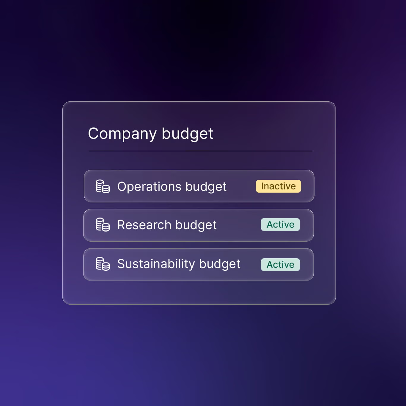
- Allocate funds centrally: Distribute pre-approved budgets across teams and projects from a master account.
- Prevent unexpected spending: Set project-level limits to block billing spikes from automated pipelines.
- Attribute costs automatically: Map spend to business units or POs to automate financial reconciliation.
Integrate faster into workflows
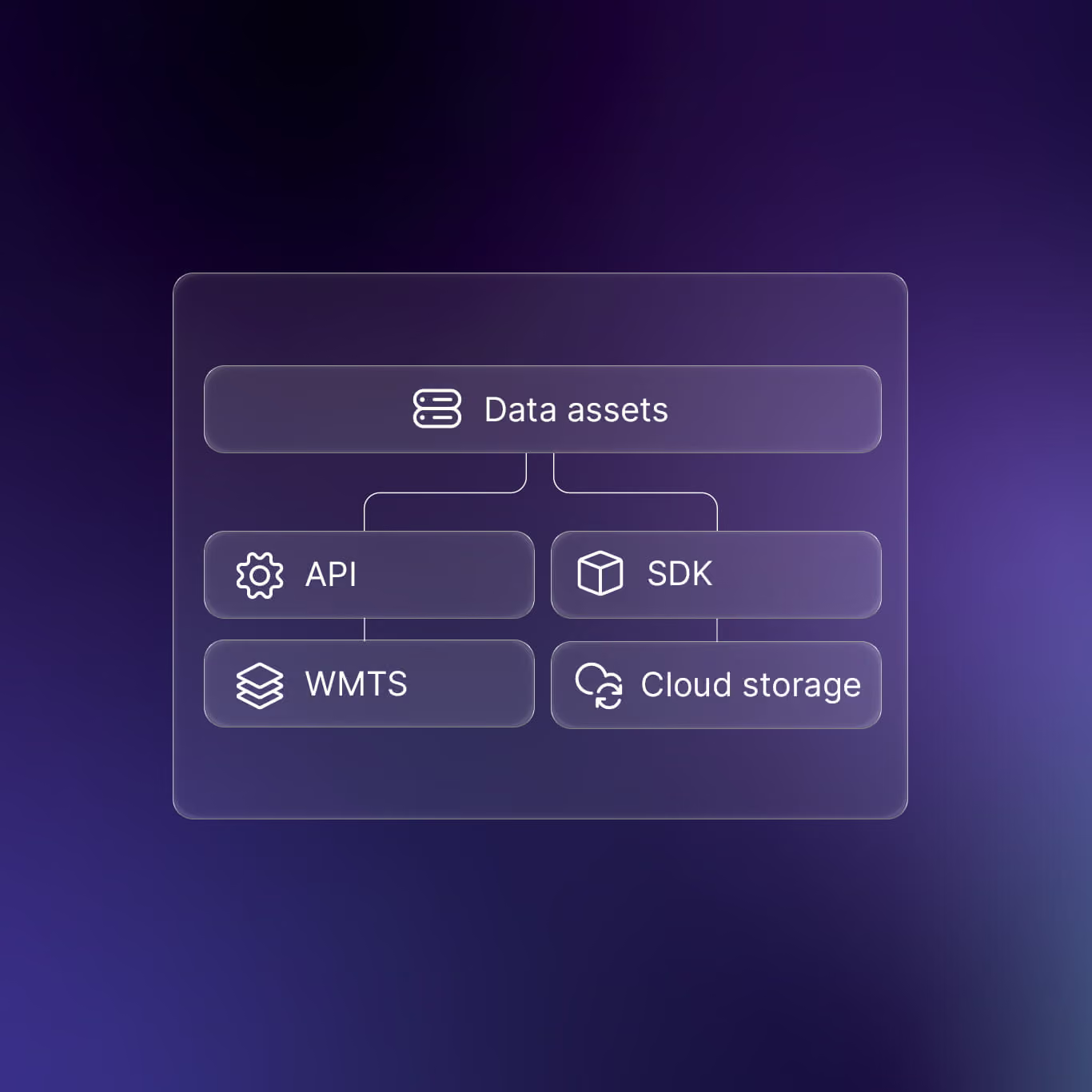
- Automate via API and SDK: Ingest data and insights directly into your applications using the API or Python SDK.
- Stream data instantly via WMTS: Stream data directly into your internal applications or GIS software.
- Deliver directly to cloud storage: Automate transfers to Amazon S3, Azure Blob, or Google Cloud.
Simplify enterprise purchasing
- Order now, pay monthly: Align your geospatial spend directly with your billing cycles.
- Scale projects immediately: Execute large-scale projects without pre-purchasing credit balances.
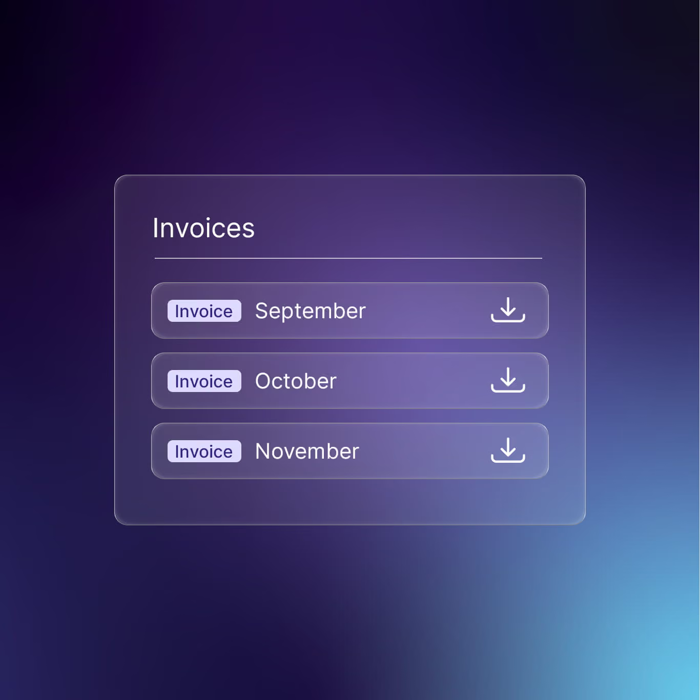
- Simplify enterprise billing: Access consumption-based monthly invoicing and detailed transaction reporting.

Enterprise-grade security and compliance

Simplify governance and EULAs: Manage End-User License Agreements for all data providers on a single platform.
Operate on trusted infrastructure: Rely on audited SOC 2 Type II controls for security and operational integrity.
Support global privacy requirements: Meet strict internal policies and external regulations with GDPR-compliant architecture.
Scale operations with premium enterprise support
Resolve issues faster: Minimize downtime with a private Slack channel and a 2-hour response SLA.
Optimize complex projects: Get up to 200 hours of expert assistance for multi-sensor planning and AOI optimization.
Ensure long-term ROI: Partner with a dedicated Customer Success Manager for tailored onboarding and regular reviews.
Why upgrade to Enterprise?

Reduce operational complexity
Consolidate vendors, contracts, and workflows into a single operating model.
Improve governance and cost visibility
Track usage, allocate budgets, and eliminate redundant purchases across teams.

Scale geospatial programs globally
Support multiple business units and projects from a common platform and governance framework.
See what’s possible with UP42 Enterprise
