Find and buy the archive imagery you need, in minutes
Search, preview, and order from the world's leading EO providers, all through a single platform.
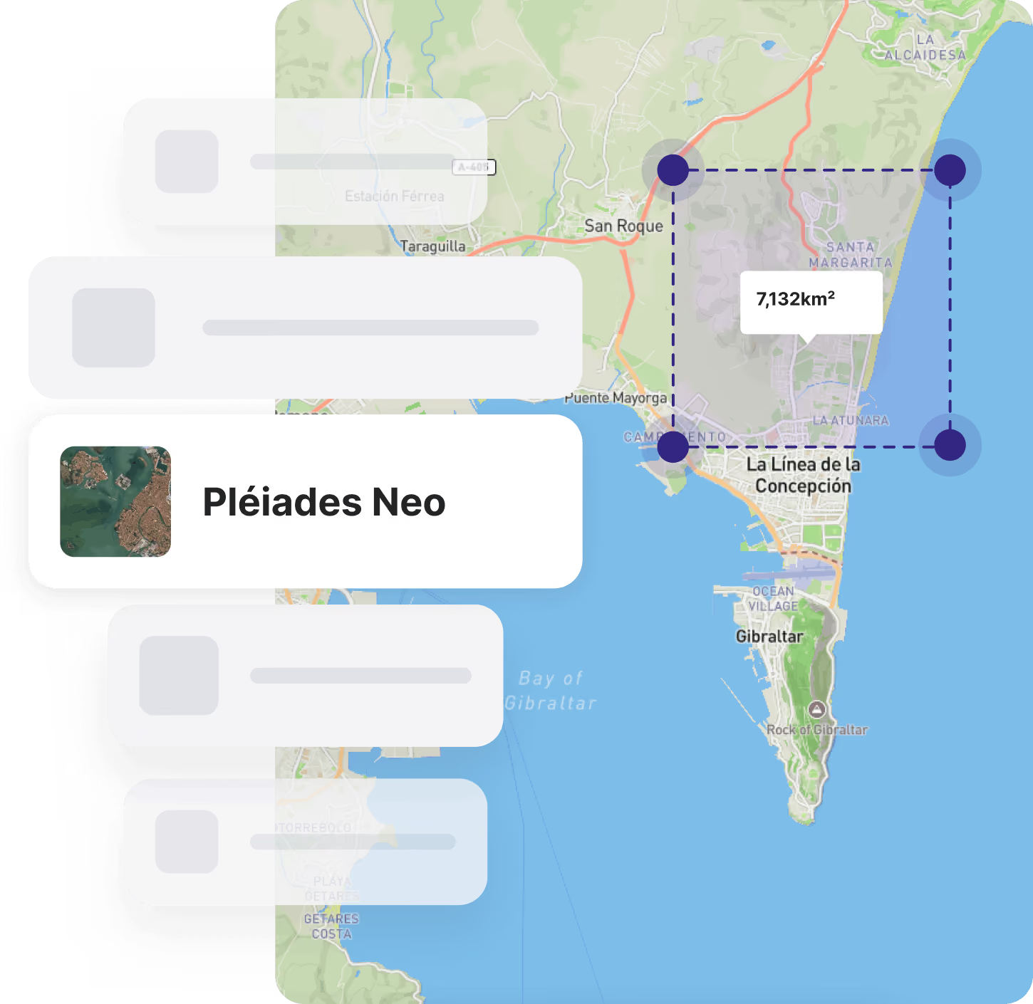
Archive Earth observation data from the world's top providers

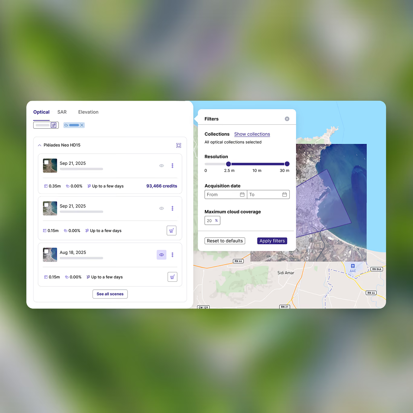
Search and filter
Hone in on what you need with filters and customized parameters

Preview imagery
Compare different images of the same area and choose the best fit

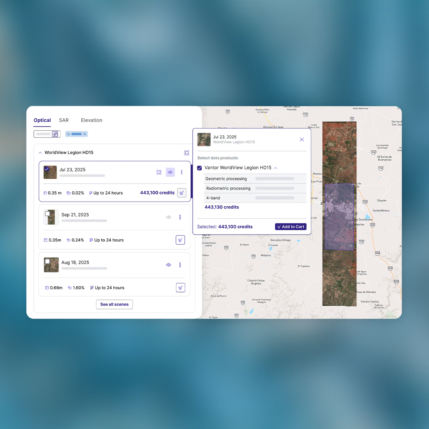
Instant pricing
See prices up front as soon as you've chosen your parameters

Order flexibility
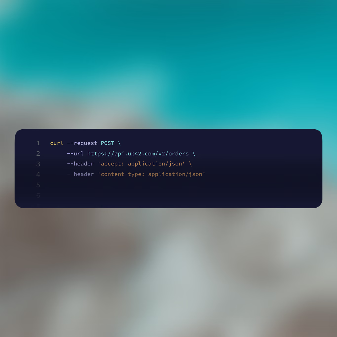
Place orders via your web browser, or with the UP42 API or Python SDK
Speed up your data discovery
Our search catalog makes it easy to filter by sensor, resolution, date, and cloud cover, fetching results in real time as you define your AOI.
Keep your budget on track
Image previews and prices appear the moment you define your area. Use sample data to validate fit before placing an order.
One platform, every provider
Stop managing separate contracts and integrations. UP42 standardizes access so you can browse all data sources at once.
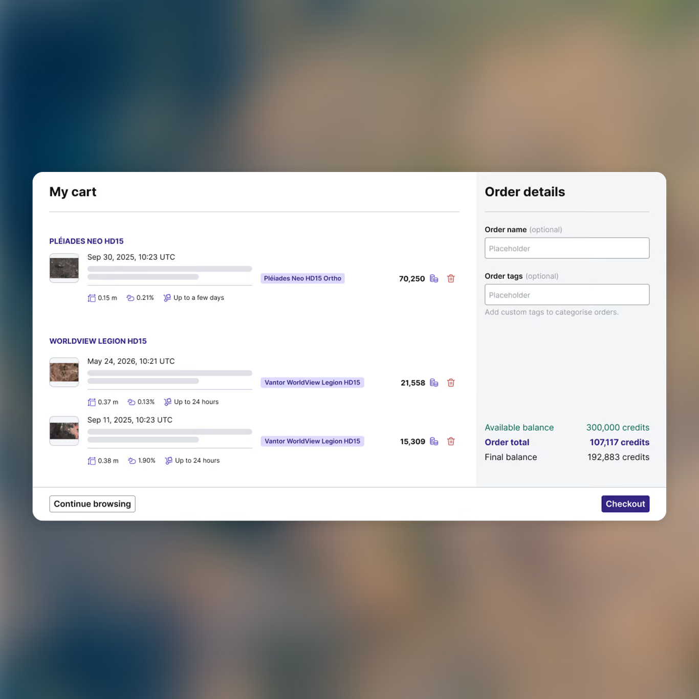
Order at any scale, without extra work
Increase your orders without increasing your workload. Automate workflows and add other data sources with ease.
FAQs
The UP42 catalog is where you go to browse and order archive imagery from the world’s top providers of geospatial data. Users can access the catalog through their web browser, through our API or Python SDK, or directly within ArcGIS Pro through the Esri add-in.
Archive imagery is existing data. Just because we call it archive doesn’t make it old: archive imagery could have been collected this week. This just means it’s there and ready to order. The UP42 platform has archive imagery starting from 2007 until today.
In your web browser, head over to the catalog. You can either find your desired area in the map view and draw it out, upload your own area of interest file, or enter the location or its coordinates in the search bar. You’ll then see all the available archive imagery for your area. You can narrow it down even further using filters, specifying your preferred acquisition date range, resolution, product type, provider, and maximum cloud coverage.
We have free sample data available from a broad range of providers, so our users can test and validate data types to see if it’s what they need.
While setting up orders, you’ll also get instant price estimates, so you can see how much each order might cost.
During your order, you’ll also see different processing levels for your data. You can find out more about these processing levels in our documentation. And if you have any questions, our expert customer success specialists are happy to answer them. Contact them here.
You can use the UP42 API and our Python SDK to set up and automate orders at scale.
The UP42 platform allows you to store areas of interest and order parameters, so you can easily reuse information from previous orders instead of needing to start from scratch.
Still have questions?
Get in touch with us!
Turn geospatial data into operational advantage
See for yourself how the UP42 platform works
