Make Earth observation data operational
UP42 consolidates data acquisition and processing into a single platform. Eliminate the friction of managing disconnected providers, contracts, and pipelines.






Centralized procurement and workflows
Define
Specify your area(s) of interest, data requirements, and final outputs
Browse and Task
Explore the global archive or task imagery on demand
Process
Automate workflows to extract insights from geospatial data
Integrate
Connect results directly into your internal systems and tools
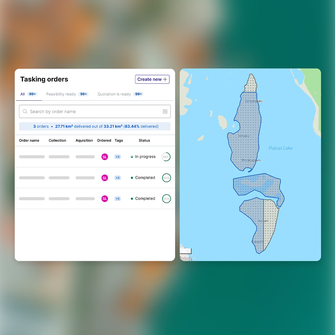
Task new imagery on-demand
Manage complex satellite tasking within a single environment. Replace contract negotiations and slow acquisition cycles with automation and visibility for total control, from feasibility to delivery.
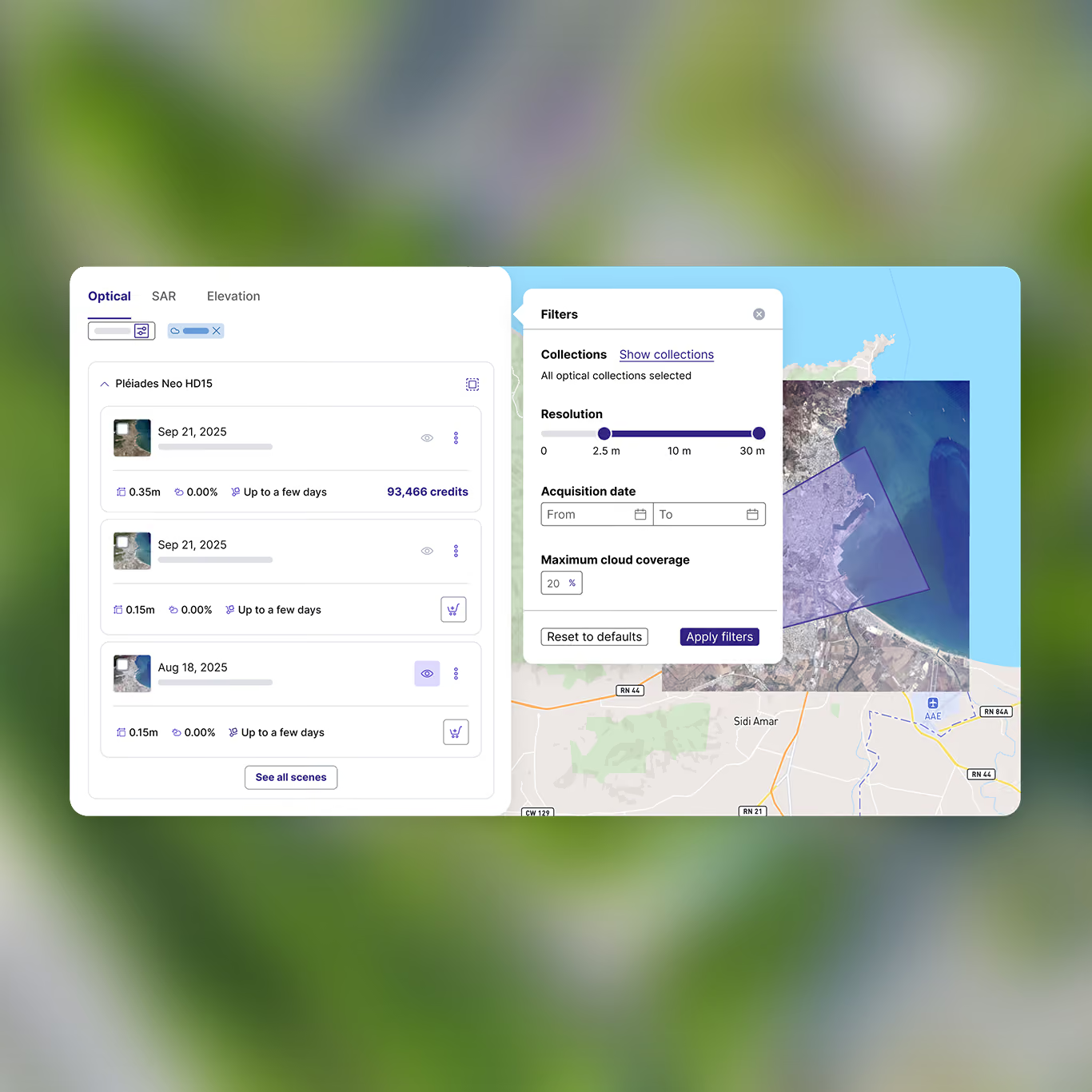
Search and retrieve global datasets for immediate use
Access satellite, aerial, and elevation data through a single touchpoint. By consolidating contracts into one environment, UP42 standardizes global acquisition and eliminates procurement friction.
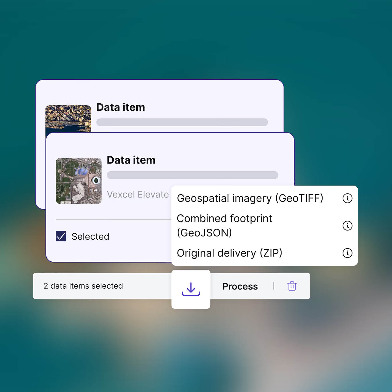
Ingest standardized data
Consolidate data for every team and project to eliminate silos and prevent data duplication. Deliver STAC-compatible assets with standardized formatting directly into your GIS workflows.
Get your data ready for analysis
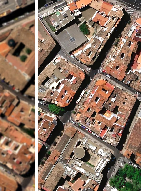
Run native preprocessing algorithms, from pansharpening and orthorectification to coregistration and upsampling, directly on your data.
Built for your existing stack

Web browser
Order geospatial data and manage your account through our web console.

API
Scale globally with API-first access and interoperable data pipelines.

Python SDK
Access the API directly, so you can build advanced workflows within software solutions.

WMTS
Stream assets instantly into any GIS environment without downloading them first.

ArcGIS
Use our add-in to search, order, and analyze imagery directly within ArcGIS Pro.
Control access across your teams
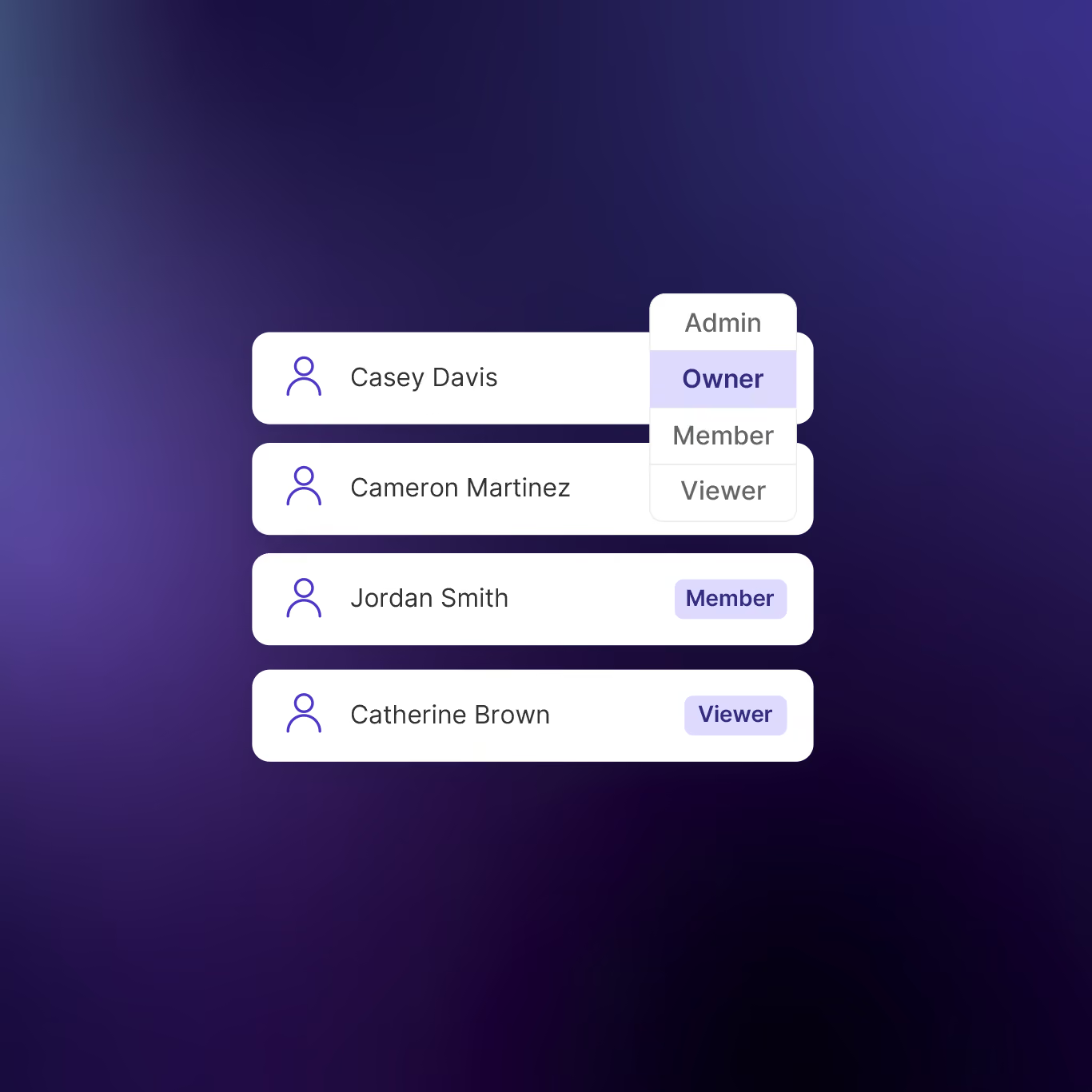
Enforce governance with a four-tier user role hierarchy. Separate high-level financial administration from daily data ordering, while providing read-only access to broader stakeholders.
Enterprise-grade operational security
Our privacy-by-design infrastructure ensures global compliance through SOC-2 Type II and GDPR standards.
World-class customer support
From success planning to complex tasking projects, our experts act as an extension of your team. Dedicated support and rapid troubleshooting ensure operational continuity and faster time-to-market.
FAQs
The UP42 platform allows you to order, manage, and process Earth observation data, including satellite and aerial imagery, elevation and other types of data from a huge range of providers, all in a single place.
You can create an account for free and explore the platform right here in your browser. Just click here to create an account. We make it easy to get started with no app download required. We've got archive imagery from the world's top providers of Earth observation data, and you can also task a satellite to capture new data.
If you 're a developer, or looking to place many orders, you can also access the platform and make bulk orders via our API or Python SDK.
Every provider has their own ordering process. We can’t speak for all of them, but often, there’s quite a bit of paperwork and back and forth involved.
Now imagine that you need a few different types of imagery from different providers: that’s a different contact and legal process for each one. In contrast, we offer a single point of contact to different providers, with the same interface, ordering process, standardized data formats, and ability to track and store all your orders at once from a single platform.
Even if you only need data from a single provider, UP42 simplifies the entire ordering process from end-to-end, cutting down on back-and-forth communications and delivering data that’s ready to integrate into geospatial workflows.
Our partners include Airbus (Pléiades, Pléiades Neo, TerraSAR-X, SPOT, WorldDEM, Vision-1), 21AT ( Beijing 3A and 3N, TripleSat), BlackSky, Hexagon, ICEYE, IMPRO, Imagesat, Intermap, Vantor (formerly Maxar), NV5, Pixxel, Planet, SIIS (KOMPSAT-3, KOMPSAT-3A, KOMPSAT-5), Satellogic, Synspective, Umbra, Vexcel, Wyvern, and more, along with free data from Sentinel-2 and Landsat.
In terms of data types, we have multispectral, hyperspectral, thermal, SAR, elevation, and lidar, collected by satellites and aerial systems. For the full list, please see our collections.
Our customers come from a huge range of industries. Vegetation management, utilities and infrastructure monitoring, urban planning, forestry, mining, defense, and insurance forecasting are just a few of the businesses where Earth observation data can have a huge impact. If you’d like to get into the specifics, check out our customer stories, or reach out directly to see how we can help you.
Still have questions?
Get in touch with us!
Supporting your workflows from acquisition to integration
See for yourself how the UP42 platform works
