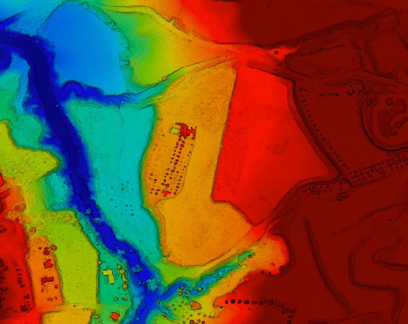
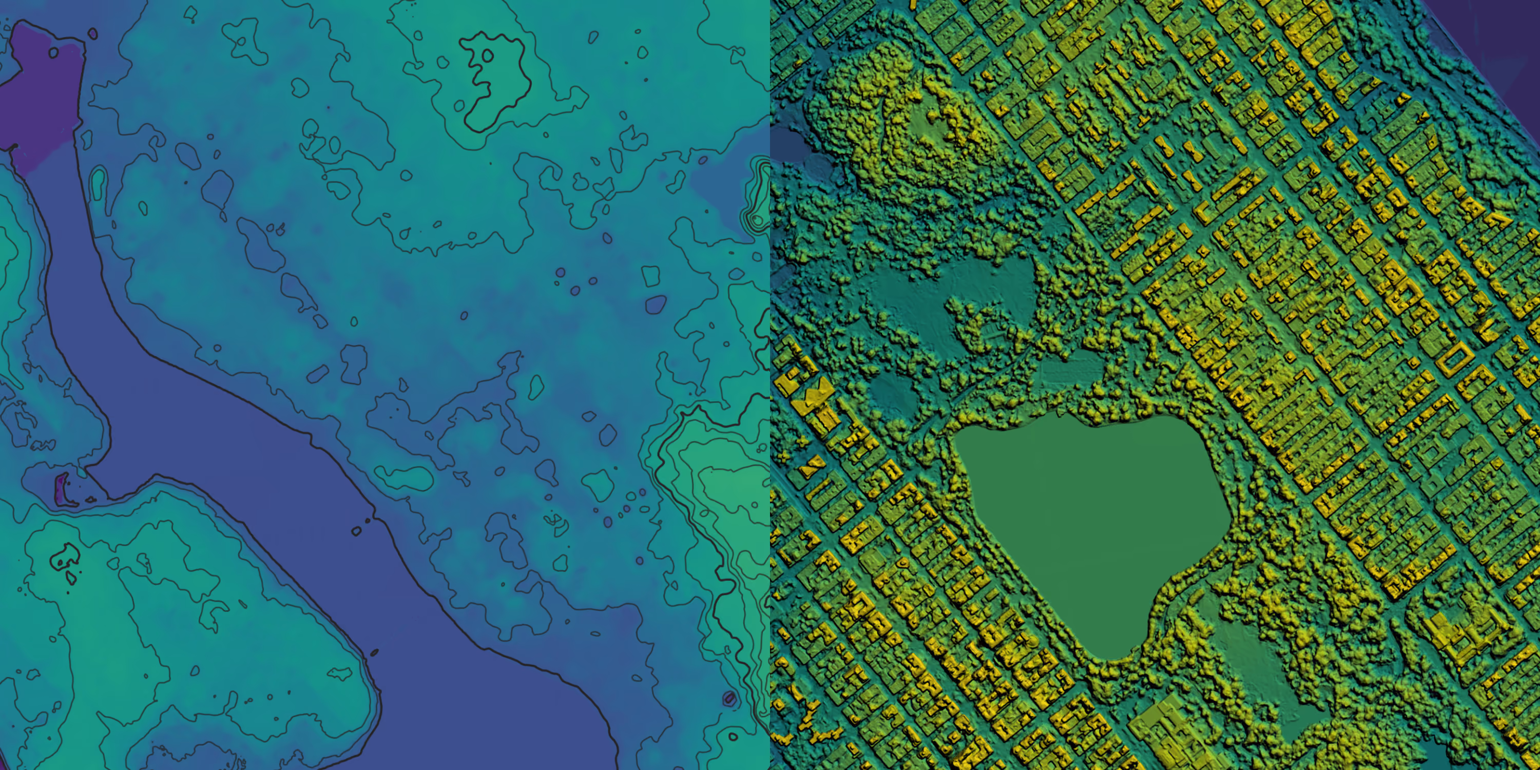
Digital Elevation Models from UP42
Digital Elevation Models (DSMs & DTMs) for highly accurate terrain and surface insights.


Access elevation data from the world's leading providers
Order the latest Digital Elevation Models from Airbus, Vantor, Vexcel, Intermap, and more. Need something specific? Task new DSMs and DTMs to match your requirements.


Why use UP42 to purchase elevation data?
01
Find the best match for your project
Quickly search through a wide range of elevation data sources.
02
Tailor to your need
Specify the date range and maximum cloud coverage, and preview before ordering.
03
Pay only for your chosen AOI
Select the area of interest and pay only for your chosen AOI.
04
Task elevation data
Task custom elevation data from Airbus and Globhe alongside our ready-to-use archive.
05
Access via API or SDK
Fully automate your data pipelines with our API or Python SDK to minimize manual effort.
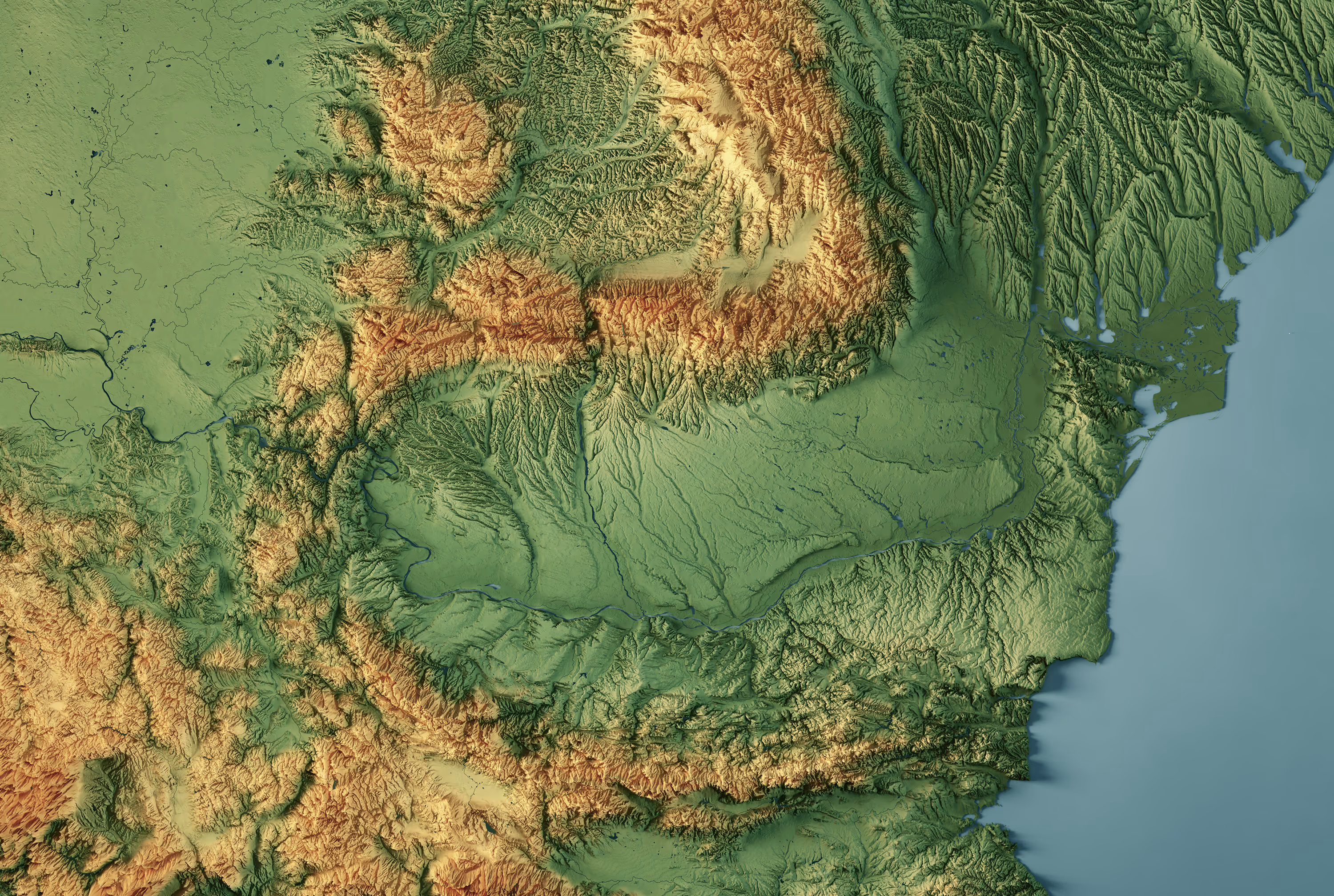
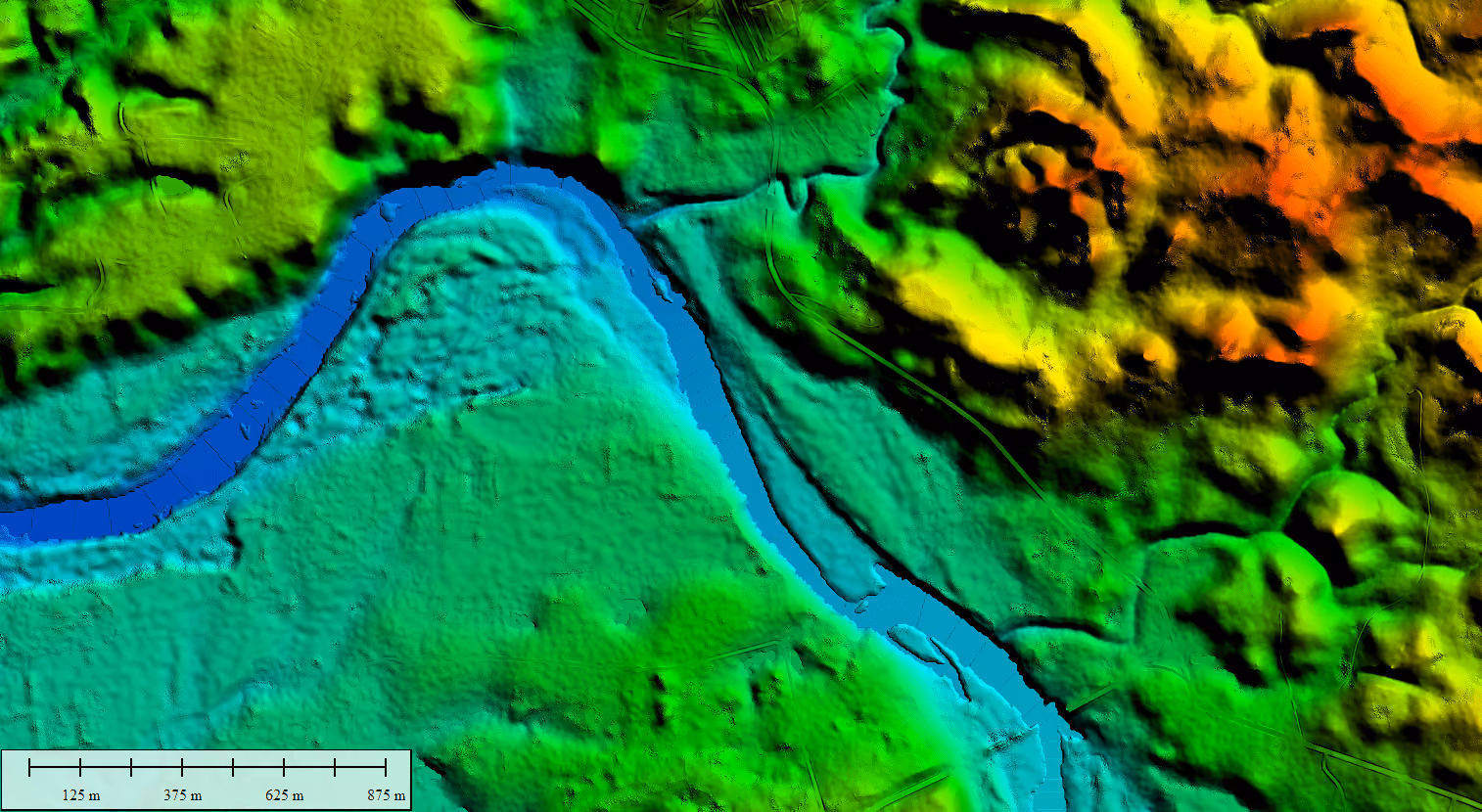
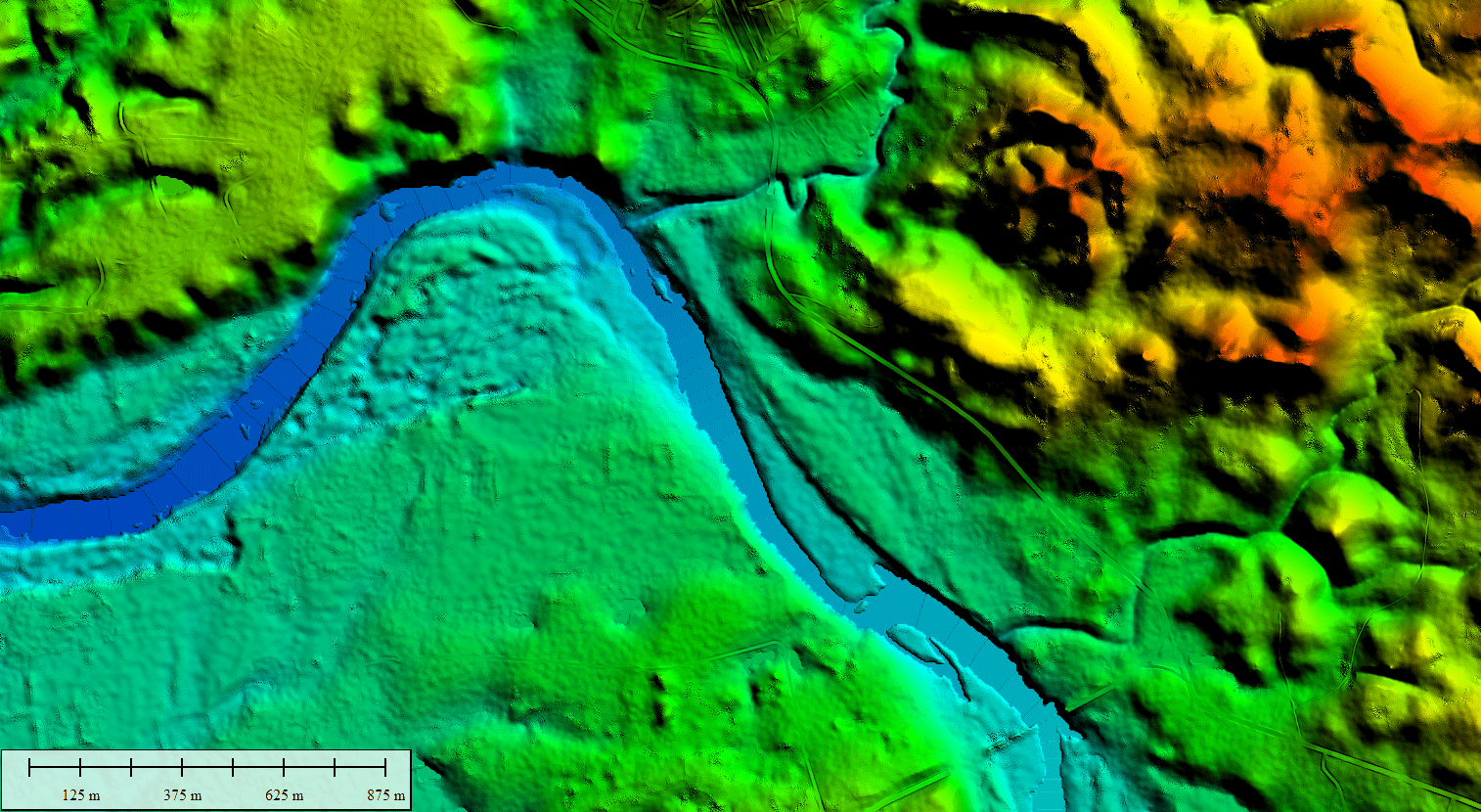
Vantor Vivid Terrain
Global 50 cm digital surface (DSM) and terrain (DTM) models available from 2007 to the present.

Airbus WorldDEM Neo DSM
Global 5 m digital surface models (DSM) collected between 2017 and 2021.

Airbus WorldDEM4Ortho
Global elevation data optimized for the orthorectification of optical and radar imagery.

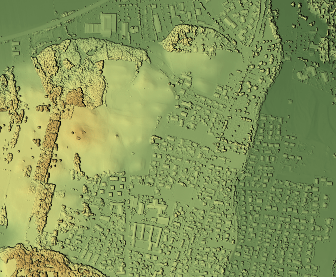
Vexcel Elevate
5.5 cm 3D terrain datasets covering the US, Canada, Europe, and Oceania.
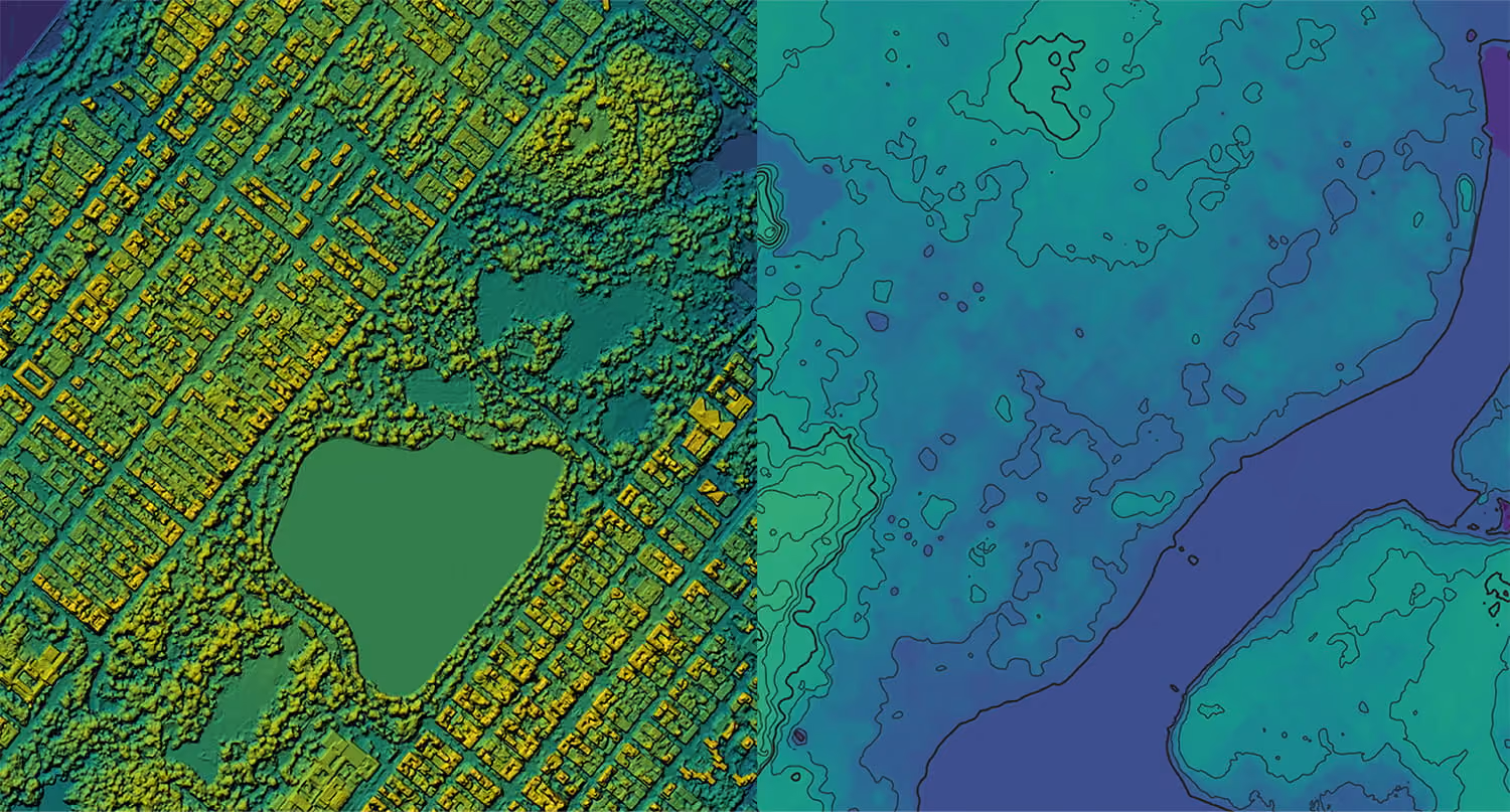
NEXTMap One DTM
1 m bare-earth digital terrain models (DTM) ideal for flood and infrastructure modeling.

Hexagon Elevation DSM
30 cm digital surface model generated from Hexagon aerial imagery over North America and Europe.
Have an urgent project?
