High resolution satellite imagery
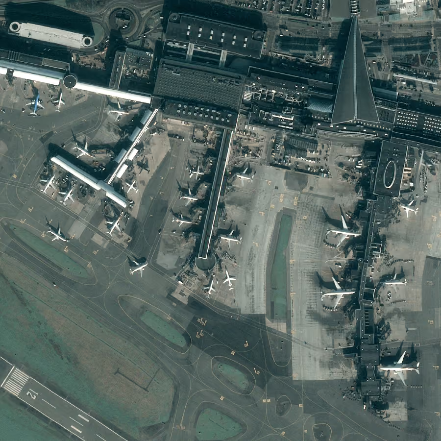
Access high precision imagery starting with 30 cm resolution




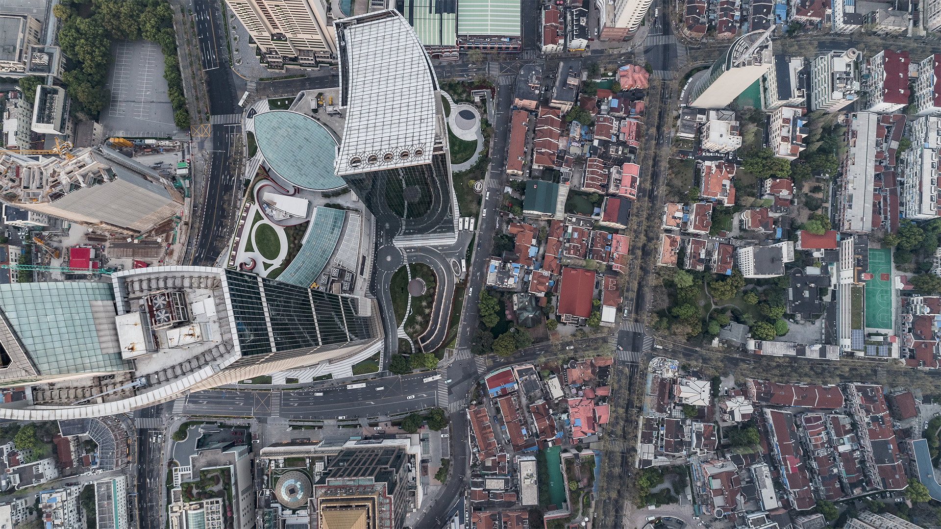
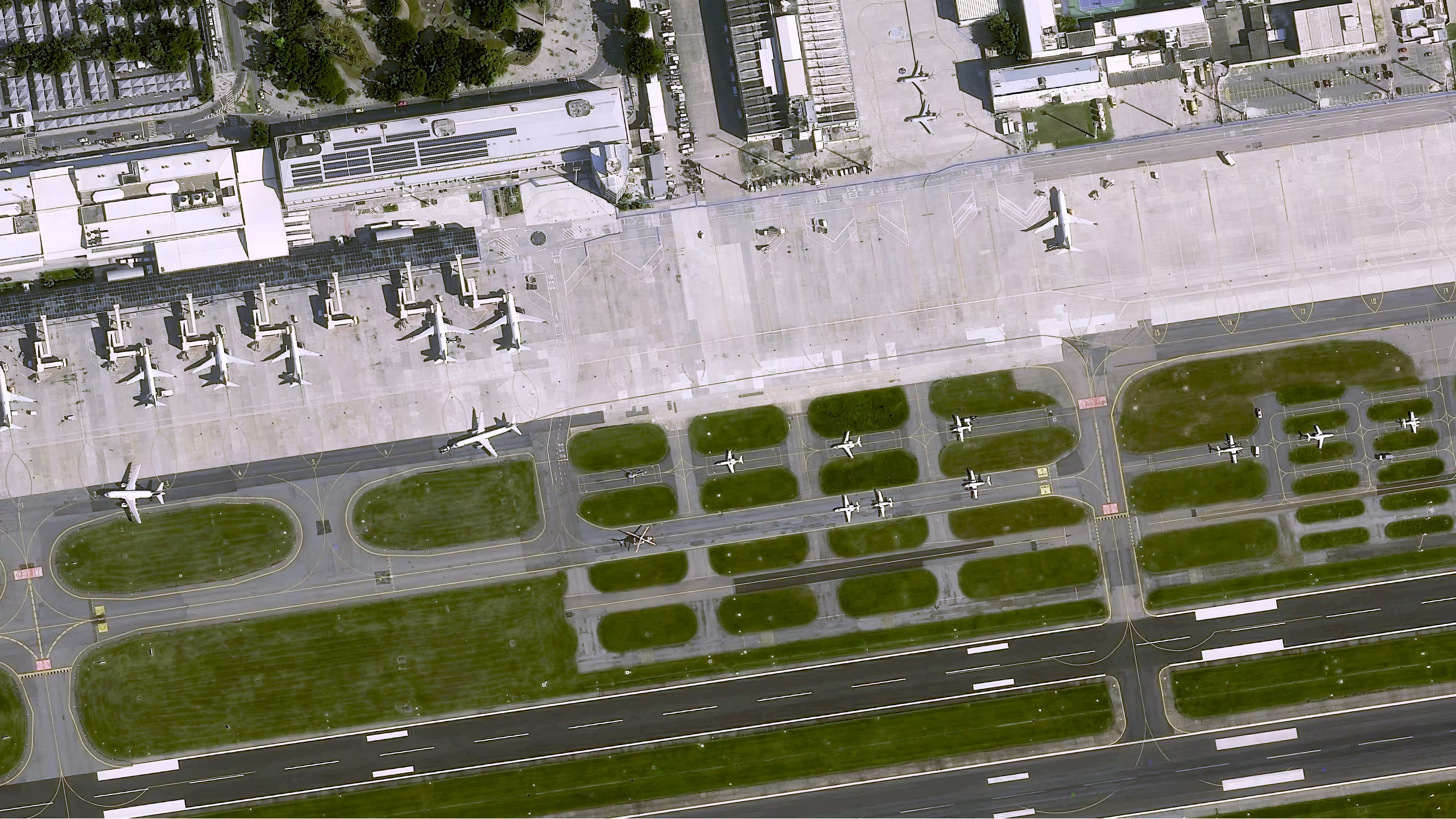
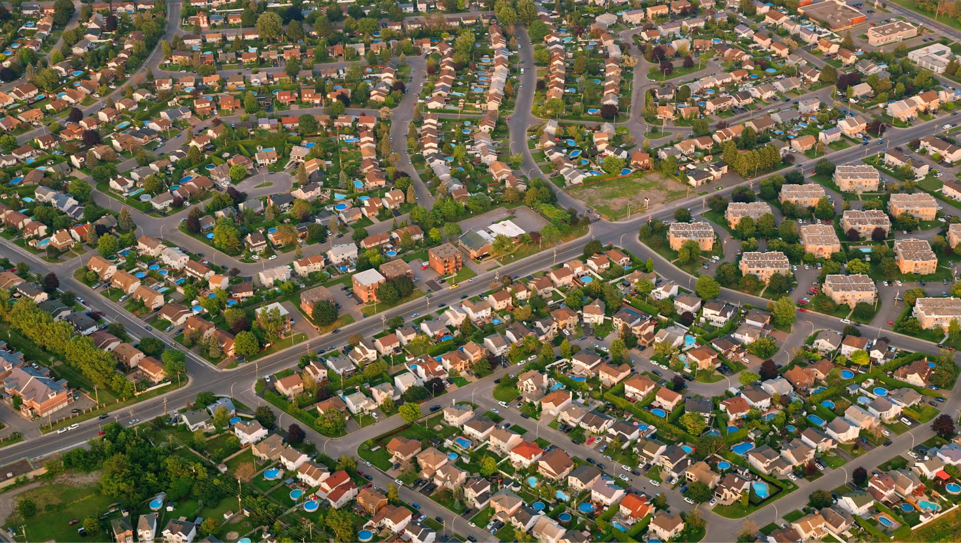
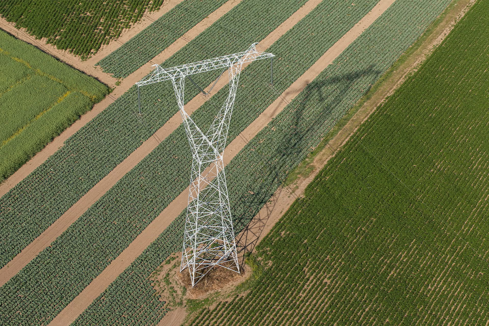
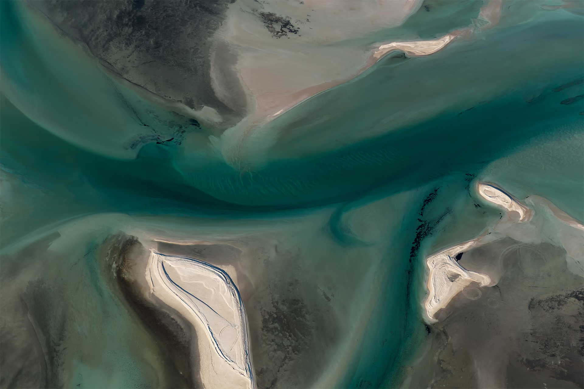



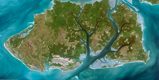

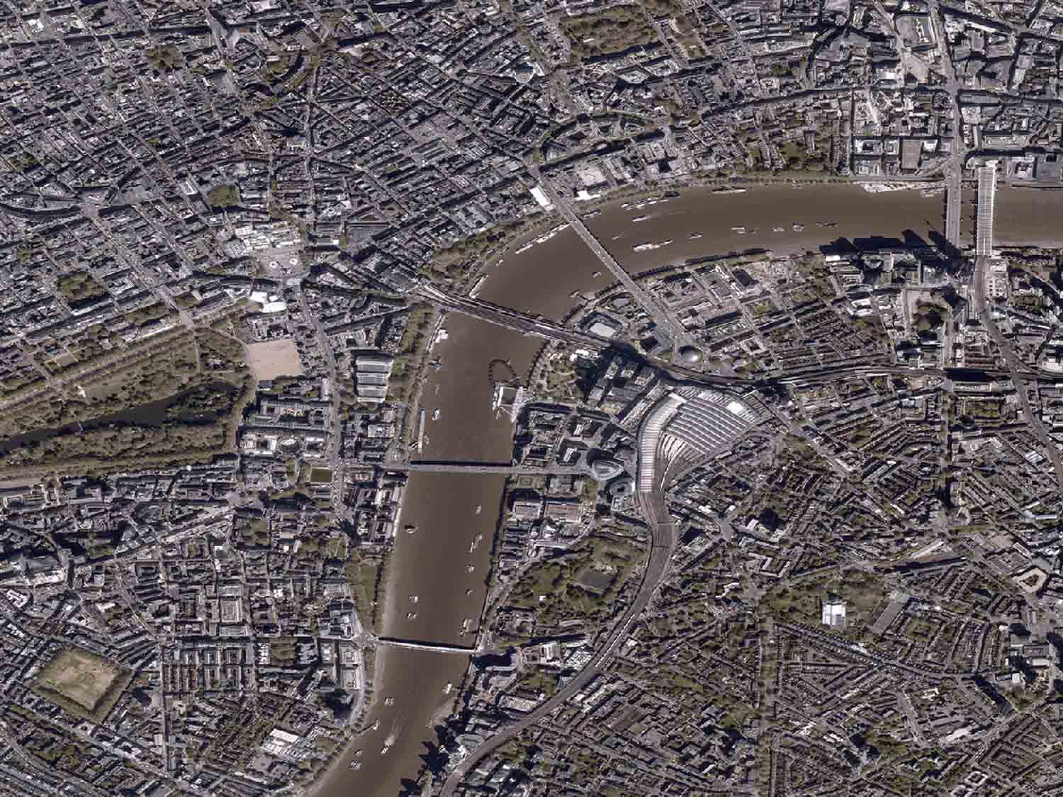
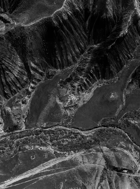
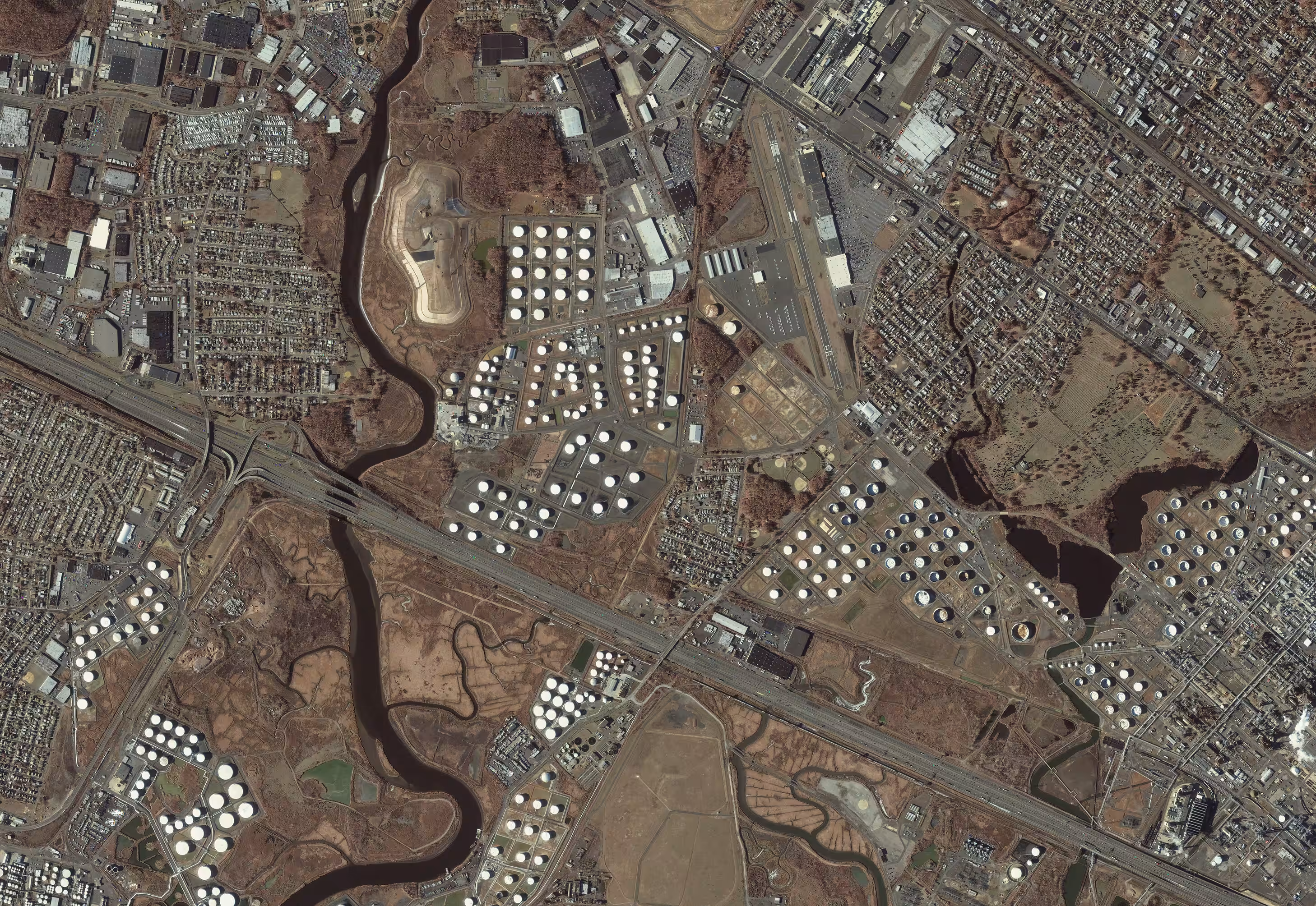
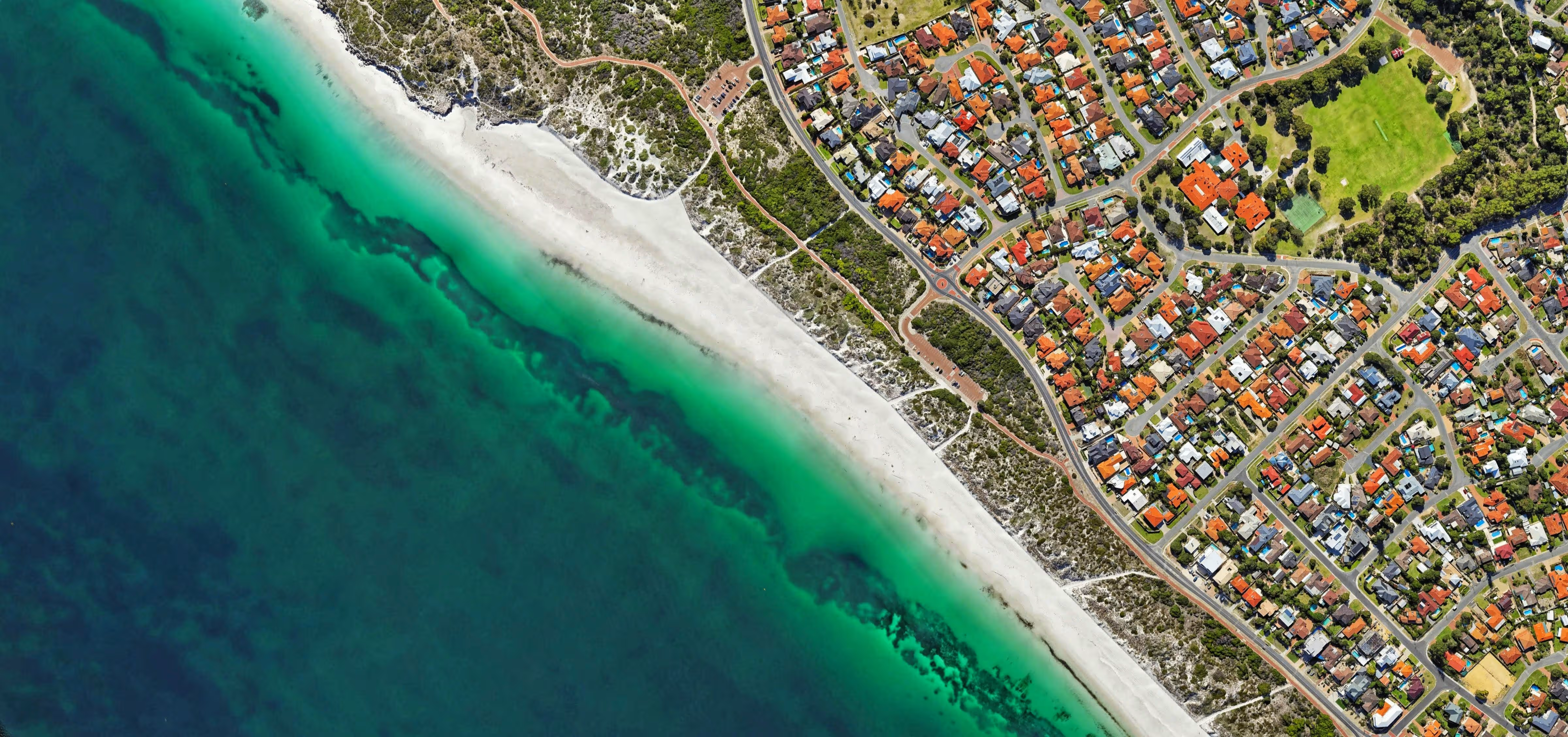

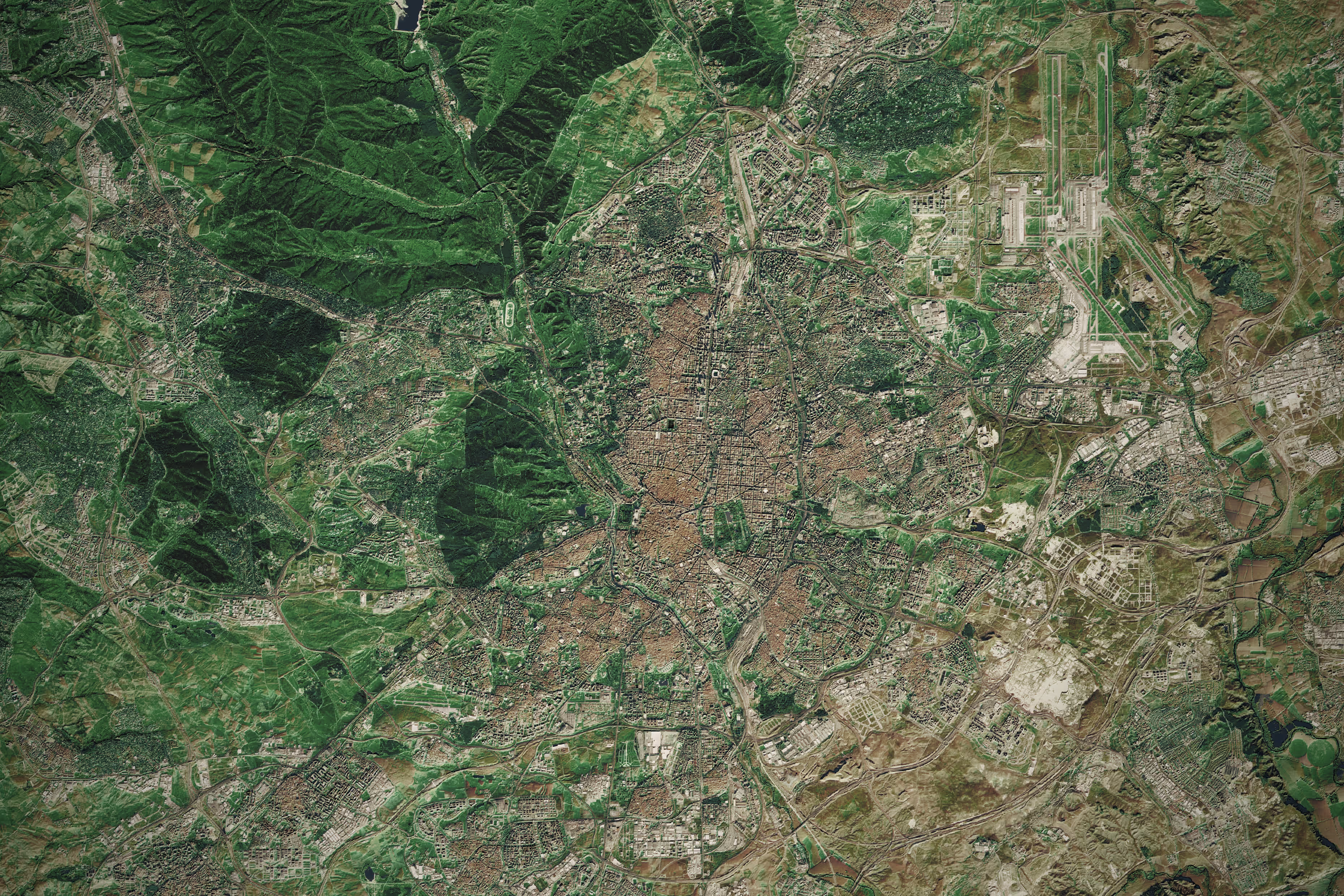
Simplified access to satellite imagery
UP42 gives you access to very high resolution commercial satellite imagery from different suppliers, together in one place. Sign up and use the catalog search to browse through historical images. Or task a satellite today through our intuitive tasking interface.
Access leading geospatial providers









Why use UP42 to purchase satellite imagery?
01
Pay only for your chosen AOI
We have one unified platform for purchasing data. Select the area of interest and pay only for your chosen AOI.
02
It's tailored to your needs
You can configure your order with parameters such as geometric filters, date range, cloud coverage, zoom level, intersects, and many more. What matters is that you get exactly what you need.
03
Enhanced quality with machine-learning
With UP42, you can combine data with processing algorithms. Enhance the definition by applying a dedicated high-definition algorithm such as pansharpening or high resolution.
04
Bespoke catalog and tasking service
Search multiple archive data sources to find the perfect match for your project. Need fresh imagery? We’ll handle the entire tasking process for you.
05
Access via API or SDK
Fully automate your data pipelines with our API & Python SDK to minimize manual effort.
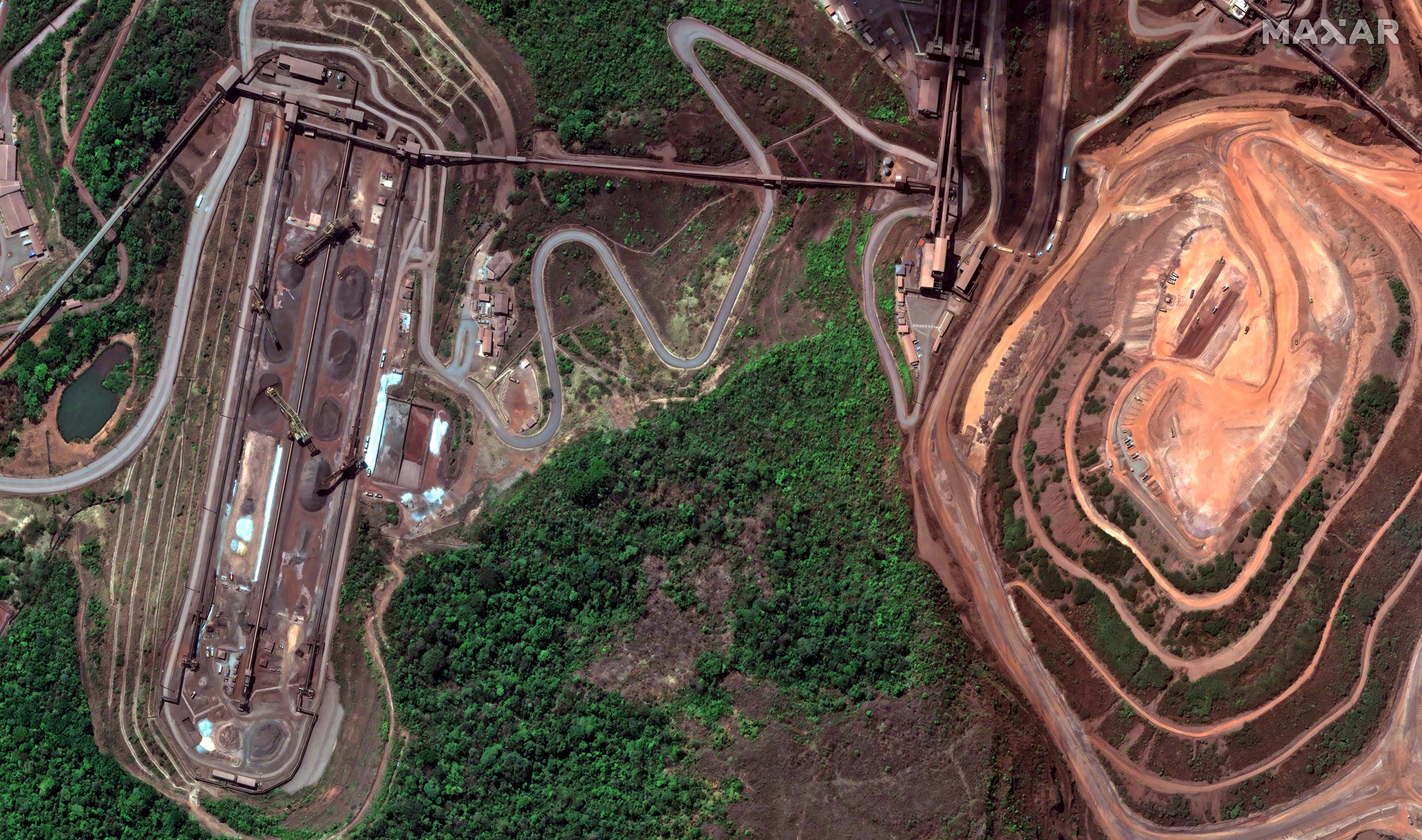
Vantor
Global satellite imagery (via WorldView, WorldView Legion, and GeoEye) offering up to 15 cm resolution and 15 daily revisits. Archive spans 2007 to present.
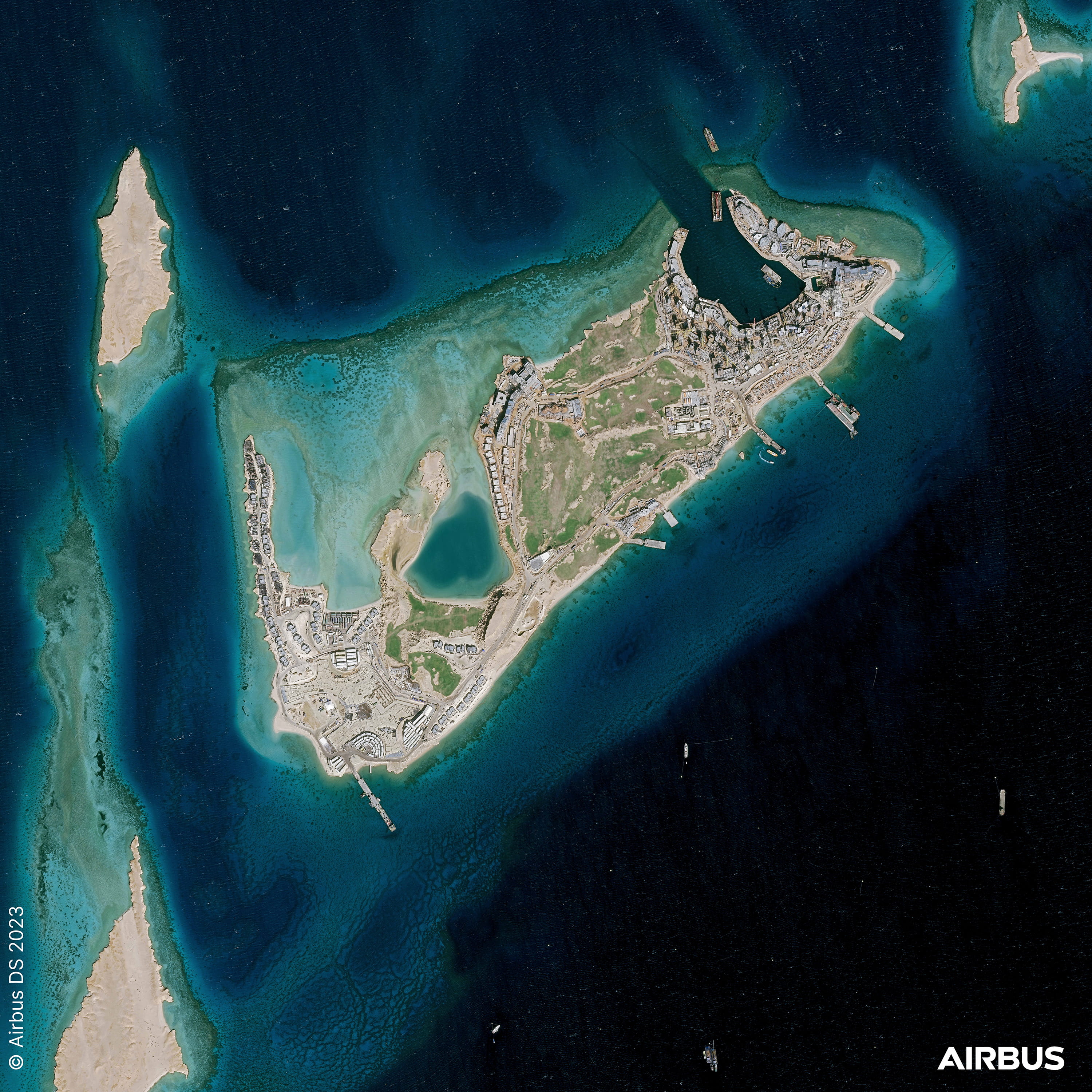
Pléiades Neo HD15
An enhanced 15 cm HD version of Pléiades Neo imagery, optimized with brighter colors and sharper details.
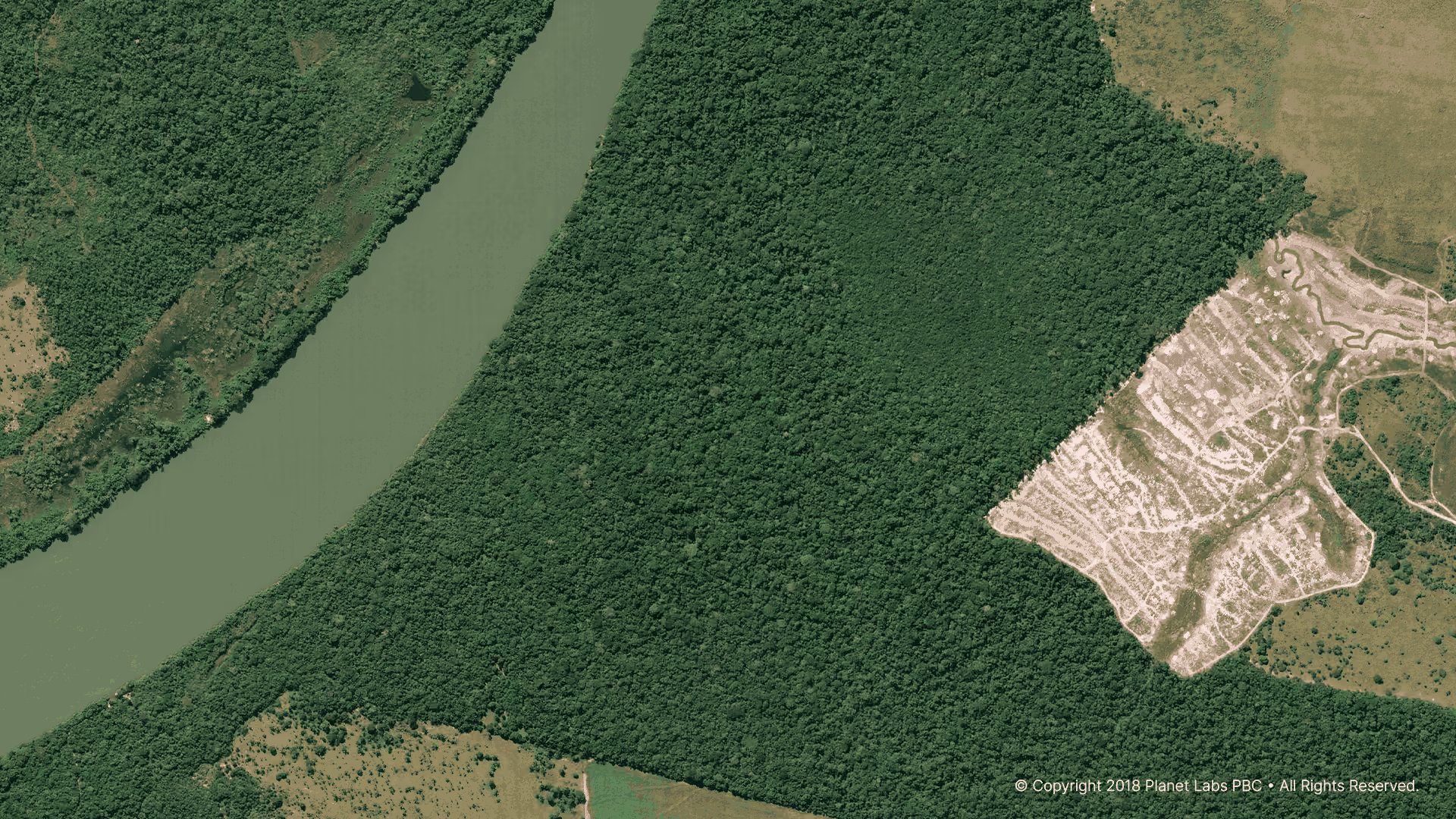
Planet
50 cm multispectral imagery from SkySat and Pelican constellations, with up to 9 daily revisits worldwide.
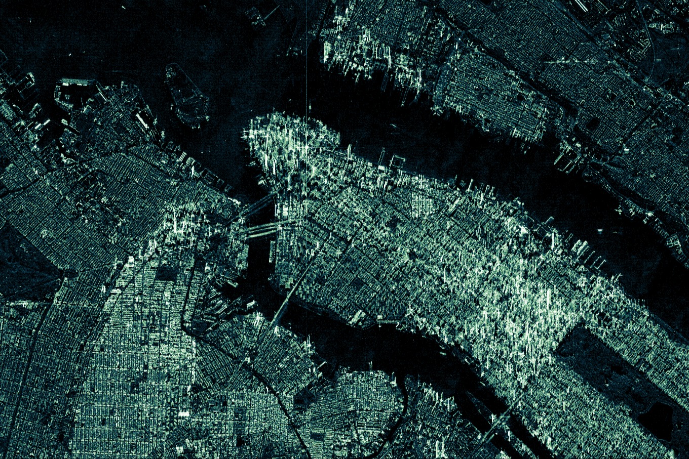
ICEYE
Up to 1 m resolution radar (SAR) imagery captured daily worldwide via the world's largest operational SAR constellation.
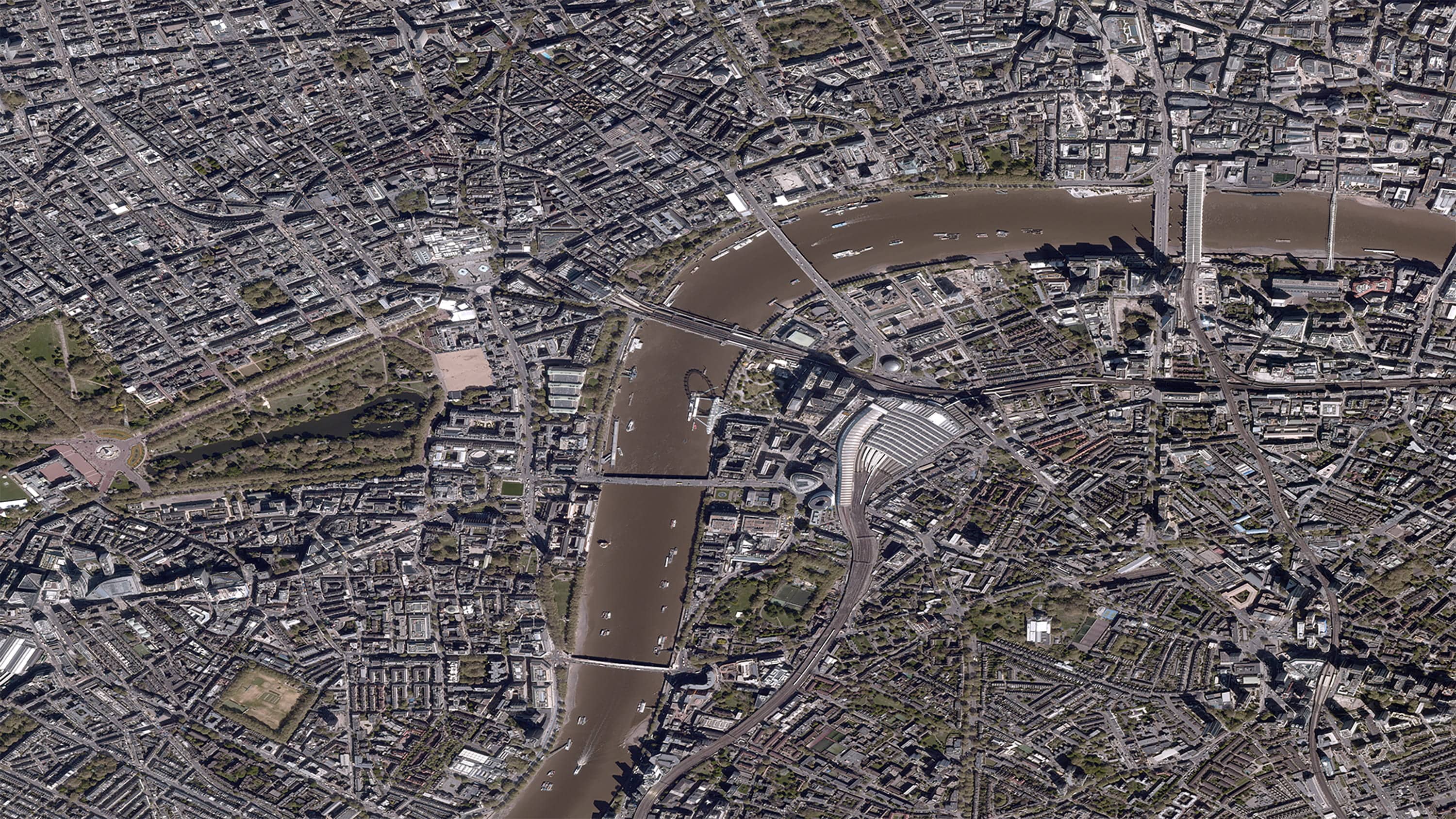
BlackSky
35 cm multispectral imagery with up to 7 daily revisits worldwide. Archive spans 2019 to present.
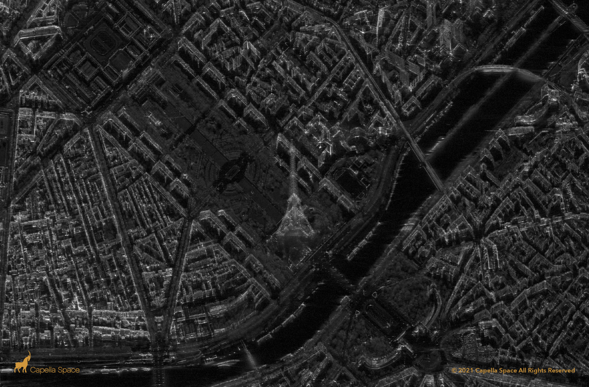
Capella Space
High-contrast X-band radar (SAR) data with 0.5 m to 1.2 m resolution, optimized for exceptional clarity and high revisits.
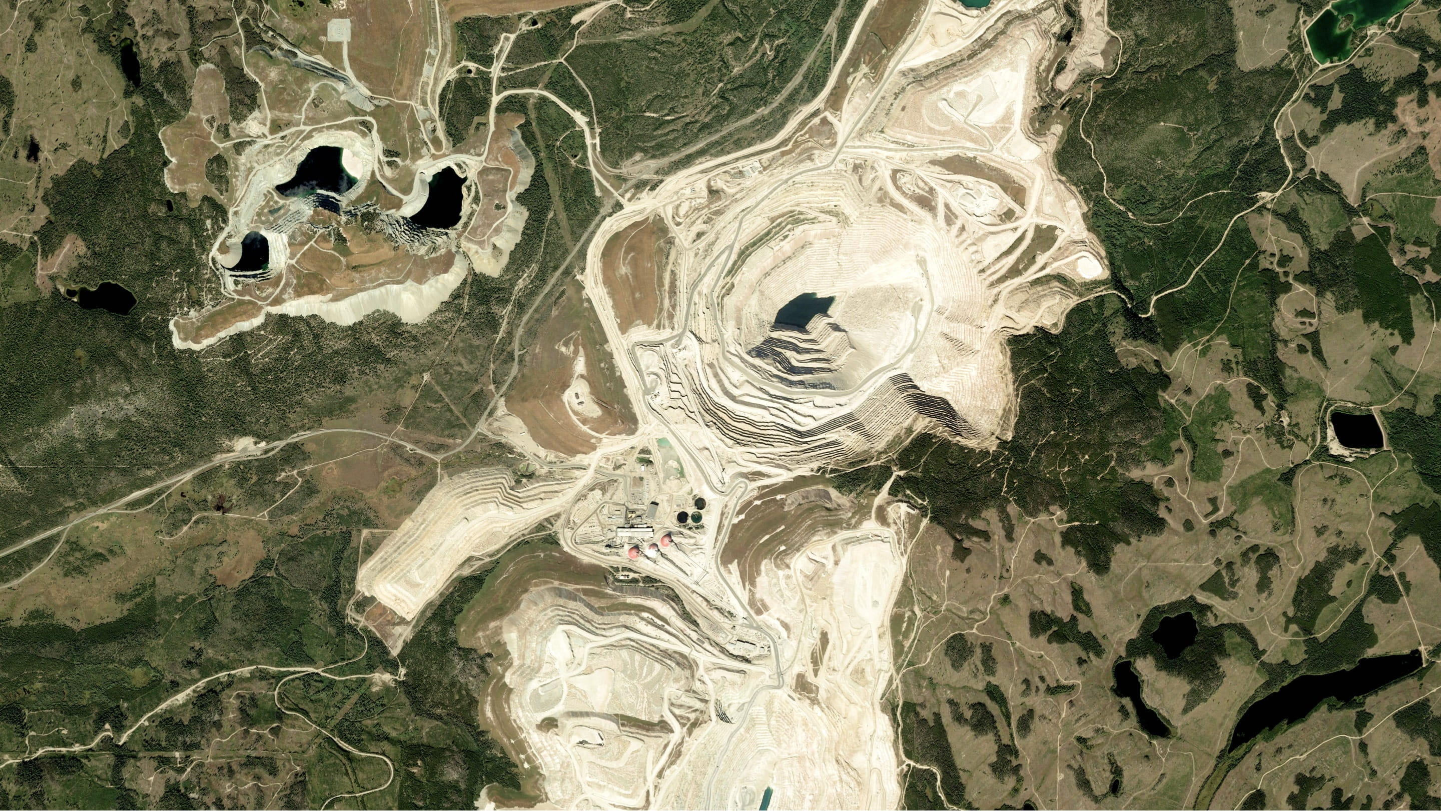
Pléiades
50 cm daily global imagery captured by the dual Pléiades 1A and 1B satellite constellation.

SPOT
1.5 m resolution imagery with a 3-day revisit cycle worldwide. Archive spans 2012 to present.
Customer stories

Have an urgent project?
