Personalized training
Our dedicated teams will accompany you every step of the way, offering personalized onboarding and training.
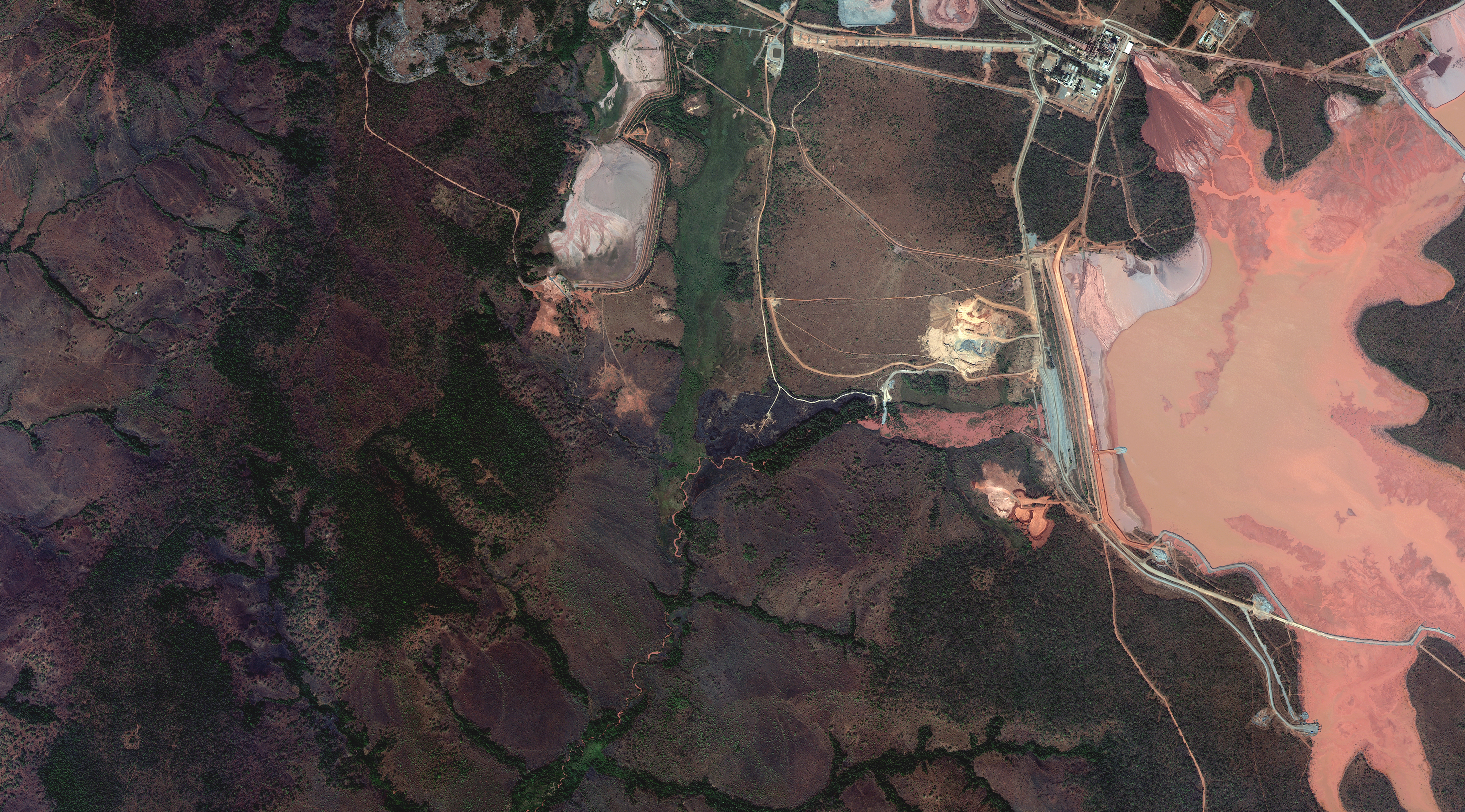
Very high resolution imagery, frequent revisit rates, and exceptional accuracy—available through the UP42 platform.
Access Maxar’s very high resolution imagery, including GeoEye-1, WorldView-1, WorldView-2, WorldView-3, and WorldView Legion. Benefit from <5 m accuracy and rich spectral data.
Task Maxar satellites via UP42 and leverage powerful platform tools—including multi-AOI support, instant pricing and feasibility checks, repeat scheduling, reusable templates, and detailed order tracking.
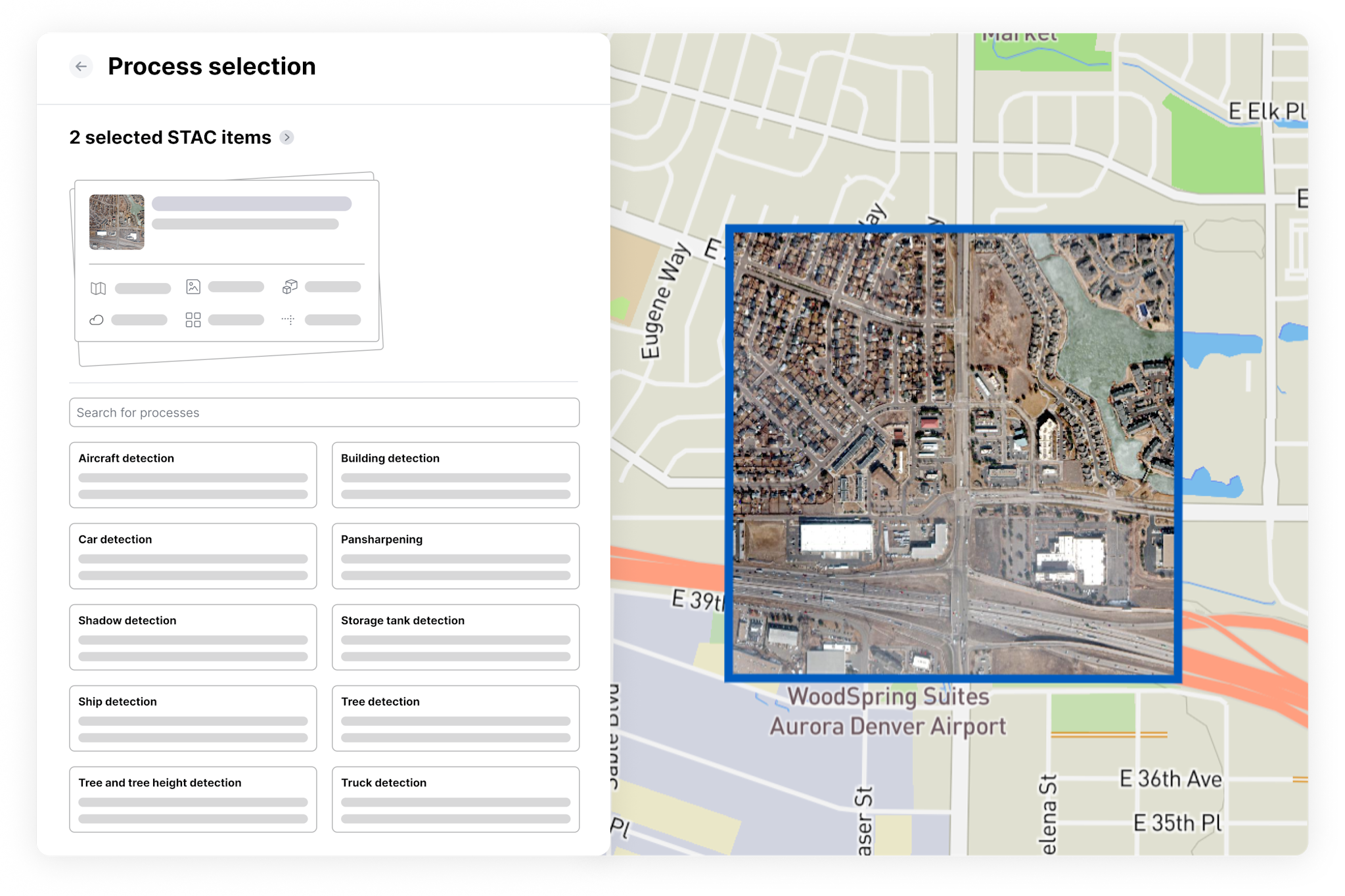
We’ve sourced a wide range of data and processing capabilities from leading providers, offering standardized access and harmonized formats for seamless integration.
Our dedicated teams will accompany you every step of the way, offering personalized onboarding and training.
Receive expert technical support with custom solution development and system integrations.
Get instant price estimates early in your buying process, with volume discounts and custom pricing for larger projects.


