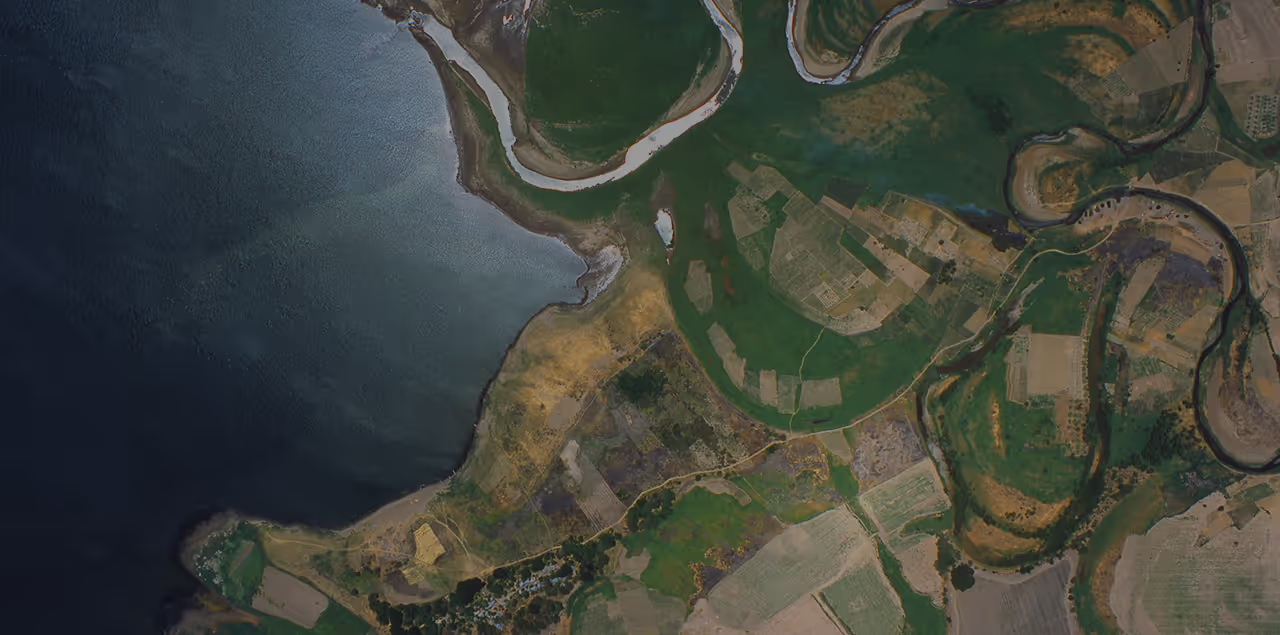
High resolution remote sensing data from space, air, and ground
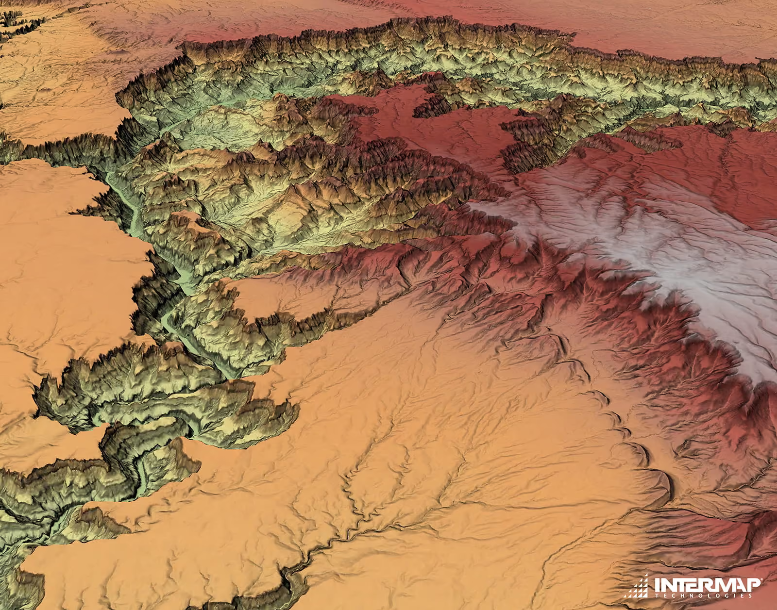
Search archive imagery or task a new capture from providers like Vantor, Airbus, Planet, and ICEYE. Get resolutions down to 15 cm from satellites, 5.5 cm from aircraft, and 1 cm from drones.





Why use the UP42 platform?
01
One platform for every provider
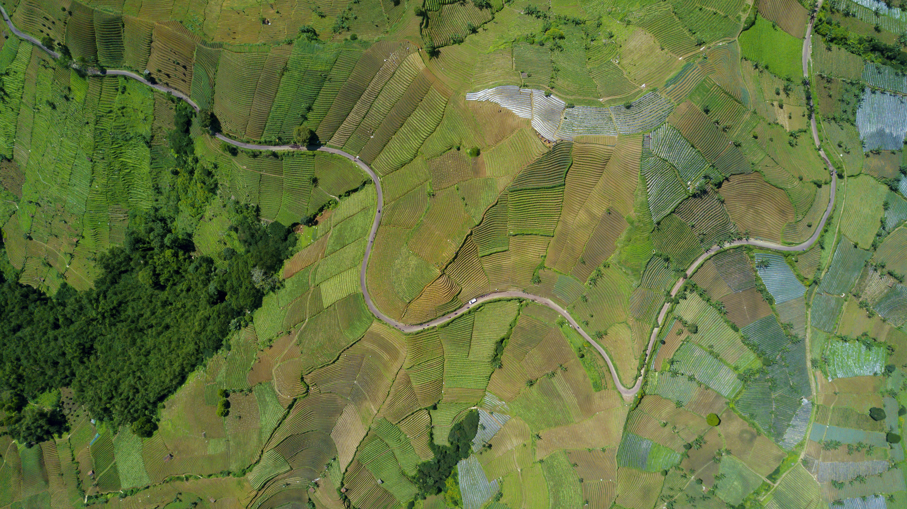
Search, order, manage, and process data from multiple providers in one place, with one account instead of separate vendor contracts and portals.
02
Pay only for the area you need
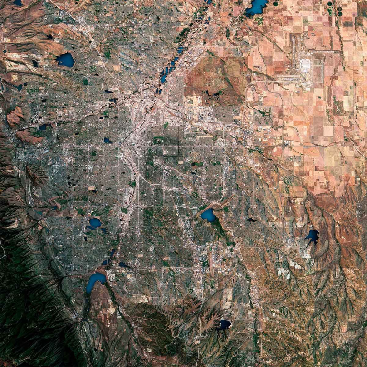
Pay-per-area pricing with no hidden costs. See everything your team has already bought, so you avoid paying twice for the same image.
03
Data that’s ready to use
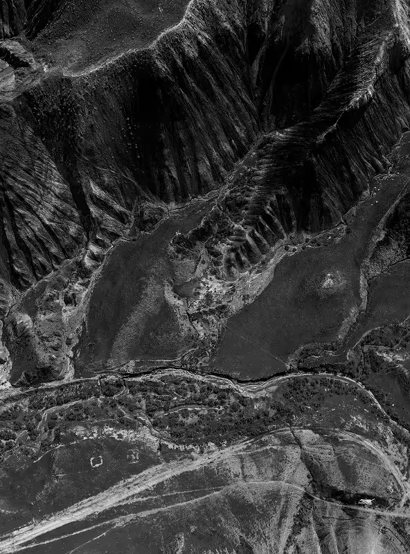
Data from every provider arrives in consistent formats with standardized metadata, so it fits straight into your GIS and pipelines.
How it works?
Define
Draw or upload your area of interest, then choose the resolution, data type, and outputs you need.

Select
Choose an existing image from the catalog, or task a satellite to capture fresh imagery.

Use
Manage and process imagery in the console or via API, then download it or stream it into your GIS.
What teams use remote sensing data?

Utilities
Spot vegetation risks along power lines and assess land for wind and solar projects.

Mining
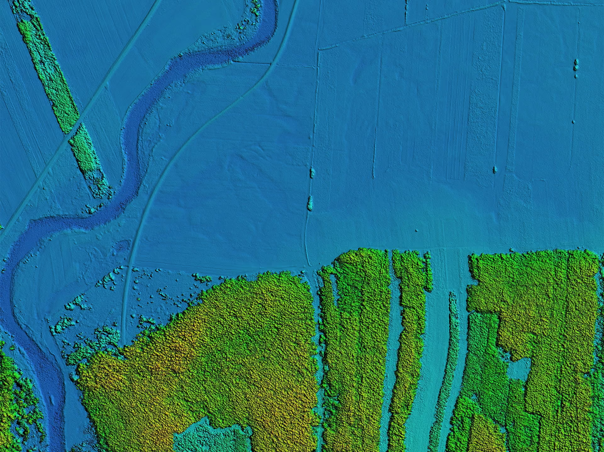
Monitor pits, stockpiles, and tailings, and measure volume changes with elevation data.

Oil & Gas
Watch pipelines, wells, and storage sites, and spot spills or encroachment in any weather with SAR.

Forestry & Agriculture
Monitor forest cover, carbon stock, and crop health across large areas.
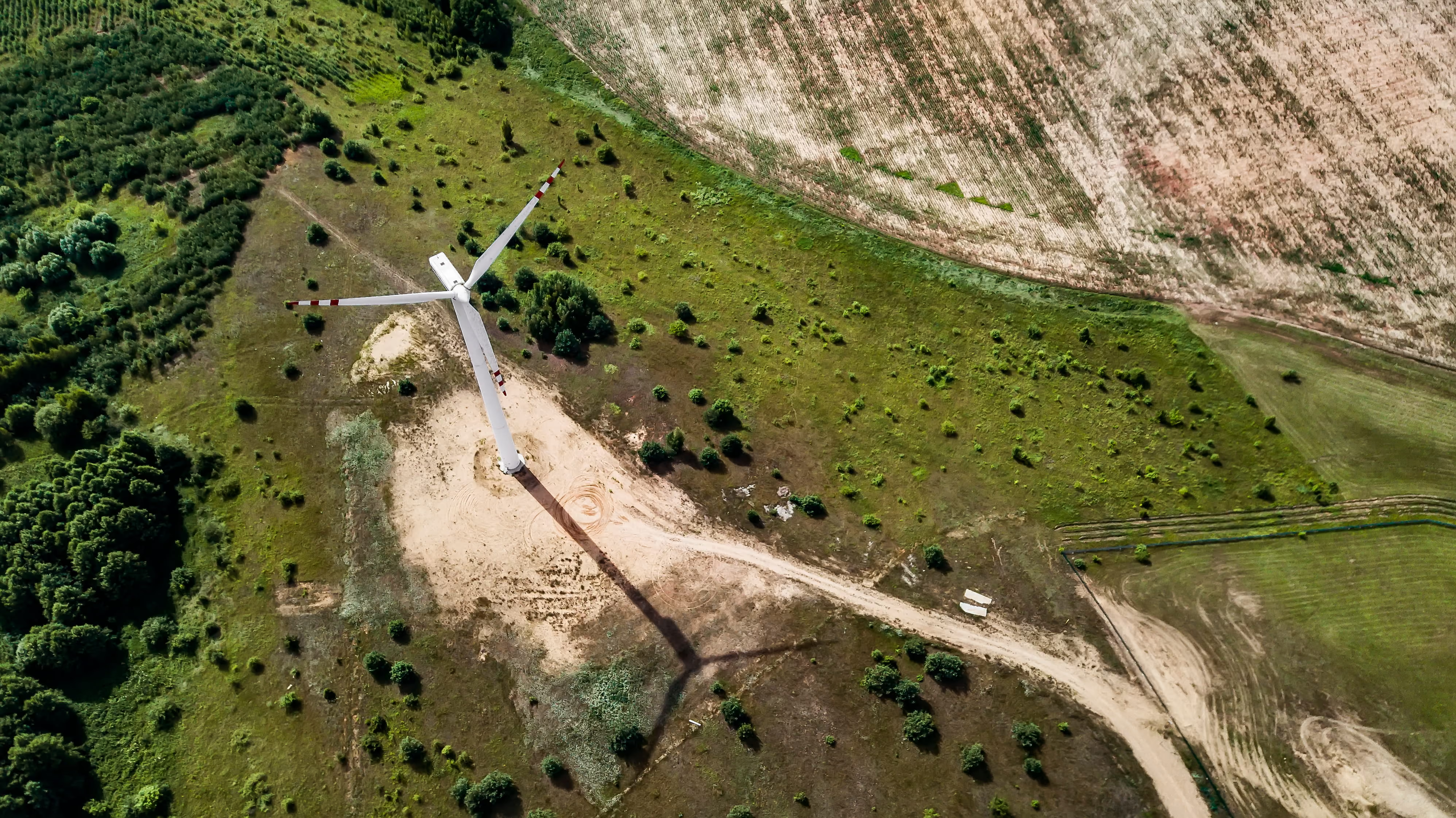
How Tipspeed scaled wind farm analysis by automating geospatial workflows

From fragmented data to scalable AI models: How Whiteshield accelerates policy intelligence
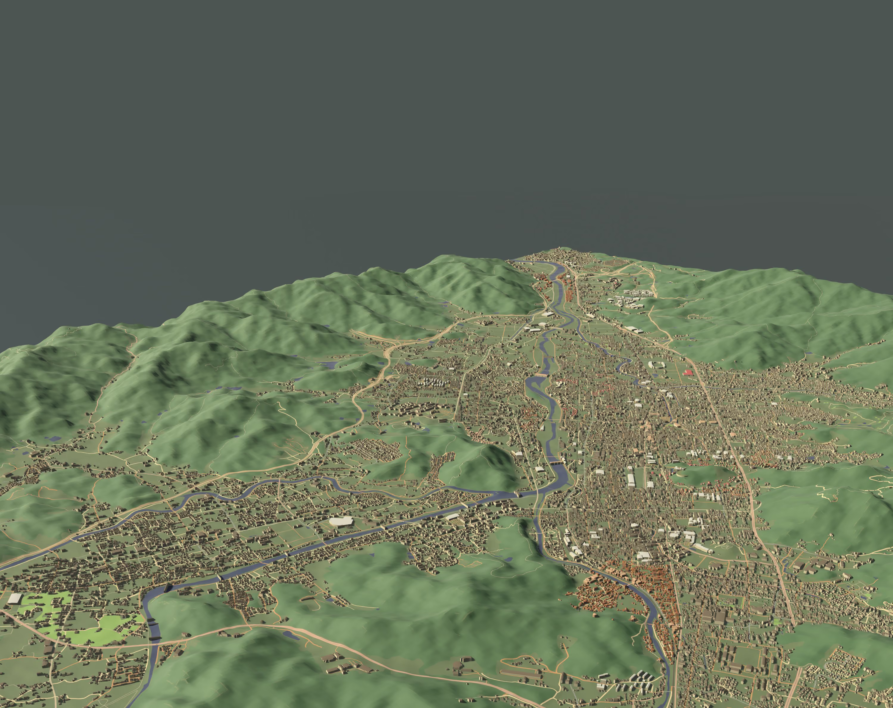
How Sensat eliminated manual engineering work and sped up project deliveries with the UP42 platform
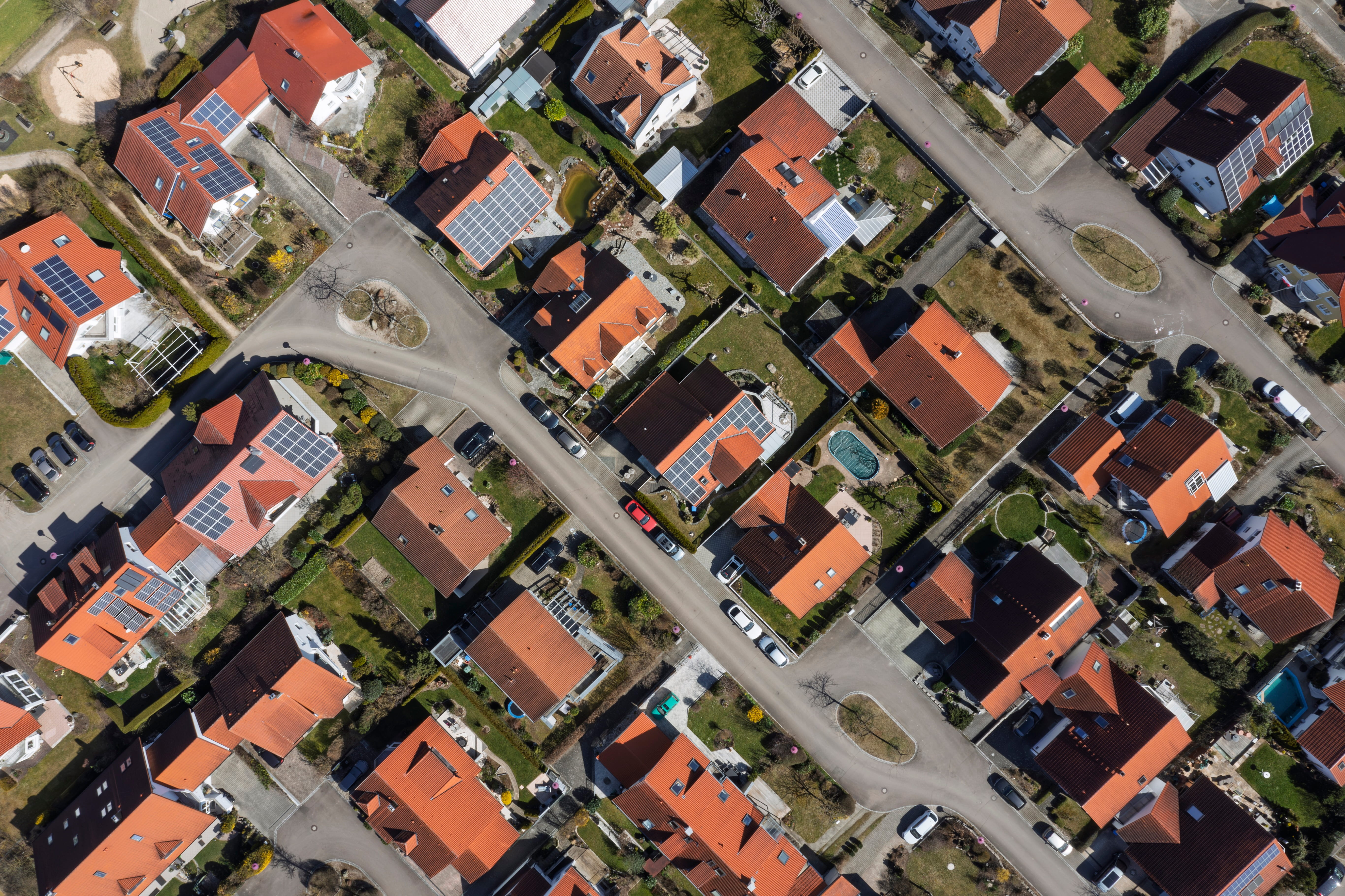
Ubicube cuts costs and speeds delivery with UP42’s scalable EO data platform

AnyWay Solutions improves safety and efficiency for engineering projects
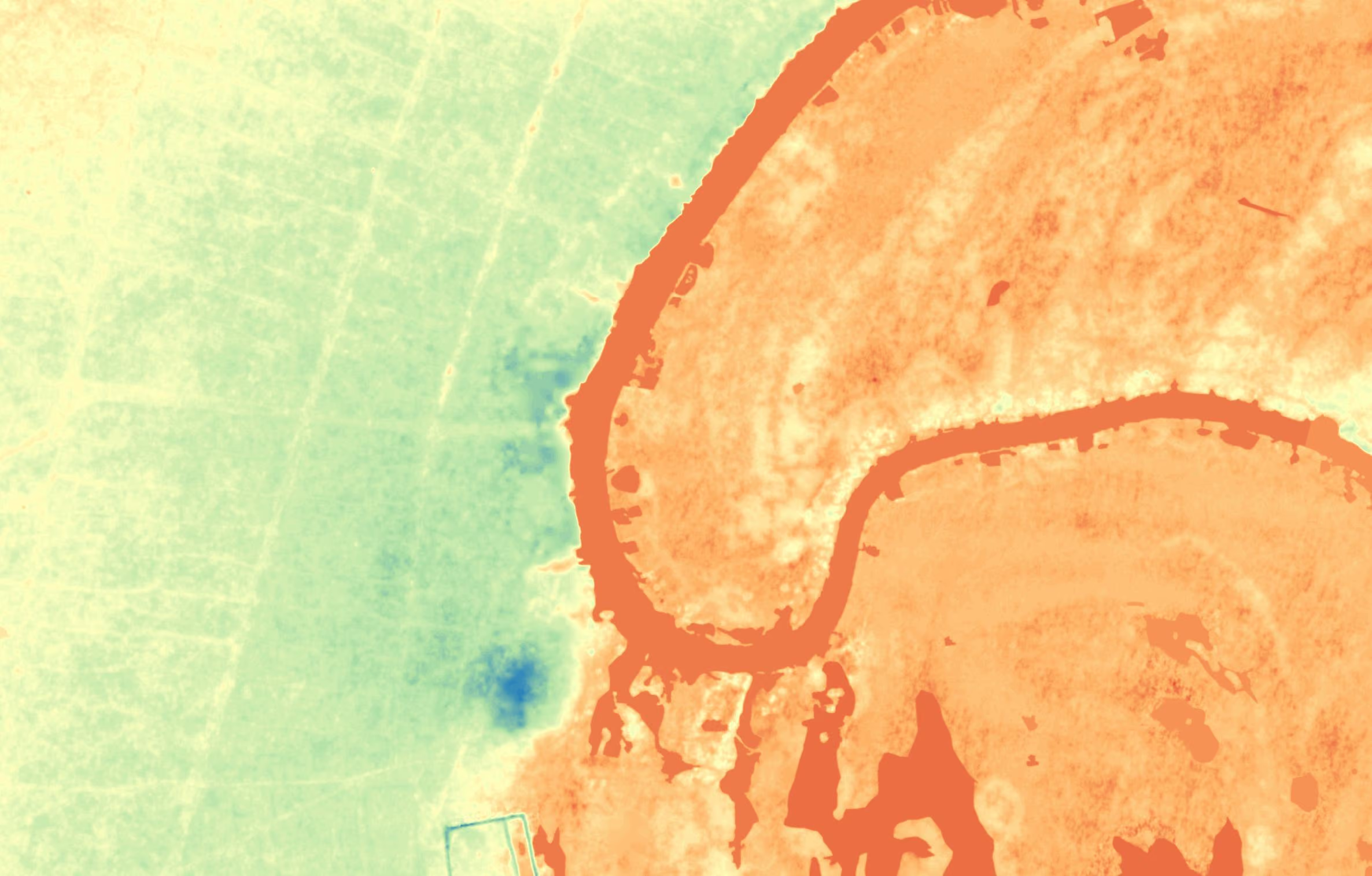
Elevation on the Nile: Building escape routes and safe zones for flood-prone areas
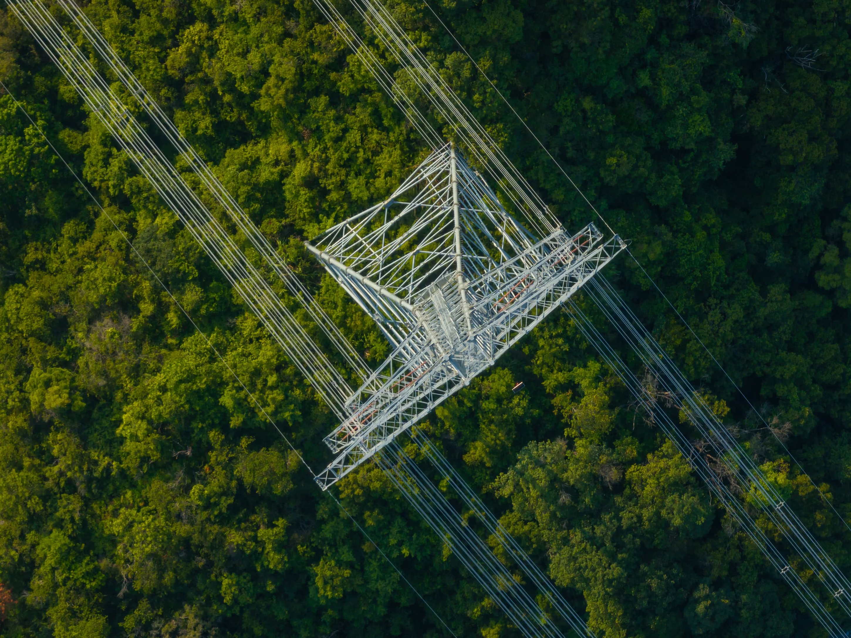
Fighting utility outages with high resolution satellite imagery

Estimating risk of property damage with UP42

Earth observation for food security in Africa
FAQs
Here are the answers to the most frequently asked questions.
Remote sensing data is information about the Earth’s surface collected from a distance, without physical contact. It’s captured by sensors on satellites, aircraft, and drones, and includes optical imagery, radar (SAR), and elevation data. Teams use it to monitor assets, map land, and track change over time.
Pricing depends on the area you order, the provider, and the resolution. You only pay for the footprint you need, and you see the price before you place your order.
You can buy optical satellite imagery down to 15 cm, SAR, aerial imagery down to 5.5 cm, drone imagery down to 1 cm, and elevation data, all through one account.
Yes. Tasking a new acquisition costs more than buying an existing archive image. On UP42, optical tasking starts at €2.20/km² compared with €1/km² for archive, for example, subject to minimum area sizes. High priority and rush tasking orders will add to the tasking price.
UP42 publishes the minimum price per km² and minimum order size for every collection on the platform, and the console will give you an instant price estimate before you proceed with your order. No hidden fees.
As well as visualizing your assets within the UP42 console, we also support data visualization in QGIS, a free open-source software. You can either stream the assets, as mentioned above, or download them completely and upload the full file to QGIS. For all the info on visualizing your data, please see our documentation.
Within the data management tab, users can process geospatial assets into analysis-ready data with enhancement algorithms, or identify insights with analytics processes. See our processing page for more information.
For users on our Enterprise plan, you can also stream assets to generate a raster map layer composed of pre-rendered image tiles from the Web Map Tile Service (WMTS). Layers are used to optimize map display in a GIS application at multiple zoom levels.
The cloud-native asset model, or CNAM, transforms delivered tasking or catalog orders into individual geospatial features available for immediate download.
CNAM standardizes the following types of files to enable easier integrations:
- Raster data is converted into cloud-optimized GeoTIFFs (COGs)
- Vector mask files are converted into GeoJSONs
This means that teams don’t need to spend time standardizing delivered data: the data is already standardized, no matter the original provider.
Spatio-Temporal Asset Catalog (STAC for short) is a standard specification for geospatial data. It provides a common structure and set of metadata for geospatial assets, which makes it easier to find and sort them.
Data management applies to all assets you’ve obtained from orders and processes. It’s powered by STAC functionalities and our cloud-native asset model, ensuring that all data is standardized, easy to find, and ready to use.
Just reach out. We’d be happy to get you started.
Standard support operates Monday to Friday, from 9AM to 5PM CET, with a guaranteed 4-hour response time.
Premium support shortens this to 2-hour response time, and Premium+ adds additional support on weekends and holidays.
Both levels of premium support offer a dedicated Customer Success Manager, direct access to support through Slack, and dedicated onboarding and enablement.
Our premium support service is designed for advanced customers with large and complex operations. Even more rapid response times, dedicated staff for assistance and troubleshooting, and comprehensive onboarding, enablement, and success planning is available.
If you’re purchasing credits for the first time, we’ll need to do a compliance check. This verifies your identity to avoid potential risks and to meet the terms and conditions set by our partners.
The check is usually pretty fast: if it’s been over 24 hours since your purchase and you still don’t see your credits, please reach out to our support team.
Credits expire 24 months after purchase. The system uses the “first-in, first-out” principle, so credits with the earliest allocation date are always used first.
Yes. If you purchase 1,000,000 or more credits at a time, UP42 provides 5% bonus credits free of charge. For larger commitments, we also offer general and supplier-specific discounts.
To add credits to your account, you’ll first need to add your tax information and credit card details to your account within the UP42 platform. You’ll find full instructions on how to do this here. The minimum purchase amount is 10,000 credits (100 Euro).
All purchases on the UP42 platform are made with credits. 100 credits equal 1 Euro.
Our customers come from a huge range of industries. Vegetation management, utilities and infrastructure monitoring, urban planning, forestry, mining, defense, and insurance forecasting are just a few of the businesses where Earth observation data can have a huge impact. If you’d like to get into the specifics, check out our customer stories, or reach out directly to see how we can help you.
Our partners include Airbus (Pléiades, Pléiades Neo, TerraSAR-X, SPOT, WorldDEM, Vision-1), 21AT ( Beijing 3A and 3N, TripleSat), BlackSky, Hexagon, ICEYE, IMPRO, Imagesat, Intermap, Vantor (formerly Maxar), NV5, Pixxel, Planet, SIIS (KOMPSAT-3, KOMPSAT-3A, KOMPSAT-5), Satellogic, Synspective, Umbra, Vexcel, Wyvern, and more, along with free data from Sentinel-2 and Landsat.
In terms of data types, we have multispectral, hyperspectral, thermal, SAR, elevation, and lidar, collected by satellites and aerial systems. For the full list, please see our collections.
Every provider has their own ordering process. We can’t speak for all of them, but often, there’s quite a bit of paperwork and back and forth involved.
Now imagine that you need a few different types of imagery from different providers: that’s a different contact and legal process for each one. In contrast, we offer a single point of contact to different providers, with the same interface, ordering process, standardized data formats, and ability to track and store all your orders at once from a single platform.
Even if you only need data from a single provider, UP42 simplifies the entire ordering process from end-to-end, cutting down on back-and-forth communications and delivering data that’s ready to integrate into geospatial workflows.
You can create an account for free and explore the platform right here in your browser. Just click here to create an account. We make it easy to get started with no app download required. We've got archive imagery from the world's top providers of Earth observation data, and you can also task a satellite to capture new data.
If you 're a developer, or looking to place many orders, you can also access the platform and make bulk orders via our API or Python SDK.
The UP42 platform allows you to order, manage, and process Earth observation data, including satellite and aerial imagery, elevation and other types of data from a huge range of providers, all in a single place.
Of course you can. If you have a large volume of orders, you can use the UP42 API or Python SDK to automatically run processing jobs on delivered assets. Please see our API and Python SDK documentation for more information.
Processing algorithms vary in cost, from 4 credits to 800 credits per square kilometer. You can see all prices in our documentation.
There are two main types of processing algorithms on the UP42 platform: enhancement and analytics.
Enhancement algorithms improve the image itself, through processes including orthorectification, pansharpening, and true color conversion. These algorithms help transform raw data into Analysis-Ready Data (ARD) for further processing.
Analytics algorithms give you information about your data, including change or object detection for actionable outputs.
You can process your delivered orders on the UP42 platform within the data management area. Please note that not all processes can be run on all types of data; for example, pansharpening can only be run on certain types of optical data. For the full list of which processes can be run on which imagery, please see our documentation.
Tasking is what you do when you need brand-new data collected on a specific date or range of dates, or you need data of an area that hasn’t been captured. In this case, you “task” a satellite to capture fresh data for you. You can do both things directly from the UP42 platform. You can also check out our dedicated tasking blog post for more details.
Head to the UP42 console’s tasking tab. From here, click the Create new button. Then select your desired provider, or multiple providers, and create or upload your area of interest. At this point, you can enter your desired parameters, and you’ll see a price estimate before placing the order.
Every collection has its own minimum order size. We encourage you to talk to our customer success team to find the best combination of size, resolution, and price. You can also check minimum sizes in our documentation.
There’s no one-size-fits-all answer for this question.
For optical imagery especially, collection capacity and availability depends heavily on the season: high season for tasking is from June through August in the Northern hemisphere, so during those months, orders may take longer due to competition for sensor capacity.
For many collections, orders can be immediately activated, but some will require feasibility studies. In this cases, our team will check your order’s requirements and let you know if it’s possible or if your order requires modifications. Feasibility studies can range from 1 to 10 business days.
In terms of near real-time imagery, some of our providers offer revisit times of up to 7 captures per day.
For more information on time frames, please see our documentation.
UP42 also offers support for rush tasking orders if you have an urgent request. These requests can be made directly within the platform. But if you have questions, please get in touch with our team.
You can monitor your order status in the console, or via our API or Python SDK. And you’ll receive automatic updates when your order status changes.
You can also automate delivery with our API or Python SDK so that your finished assets download automatically into your workflows.
The UP42 catalog is where you go to browse and order archive imagery from the world’s top providers of geospatial data. Users can access the catalog through their web browser, through our API or Python SDK, or directly within ArcGIS Pro through the Esri add-in.
Archive imagery is existing data. Just because we call it archive doesn’t make it old: archive imagery could have been collected this week. This just means it’s there and ready to order. The UP42 platform has archive imagery starting from 2007 until today.
In your web browser, head over to the catalog. You can either find your desired area in the map view and draw it out, upload your own area of interest file, or enter the location or its coordinates in the search bar. You’ll then see all the available archive imagery for your area. You can narrow it down even further using filters, specifying your preferred acquisition date range, resolution, product type, provider, and maximum cloud coverage.
We have free sample data available from a broad range of providers, so our users can test and validate data types to see if it’s what they need.
While setting up orders, you’ll also get instant price estimates, so you can see how much each order might cost.
During your order, you’ll also see different processing levels for your data. You can find out more about these processing levels in our documentation. And if you have any questions, our expert customer success specialists are happy to answer them. Contact them here.
You can use the UP42 API and our Python SDK to set up and automate orders at scale.
The UP42 platform allows you to store areas of interest and order parameters, so you can easily reuse information from previous orders instead of needing to start from scratch.
Still have questions?
Get in touch with us!
Got a question?