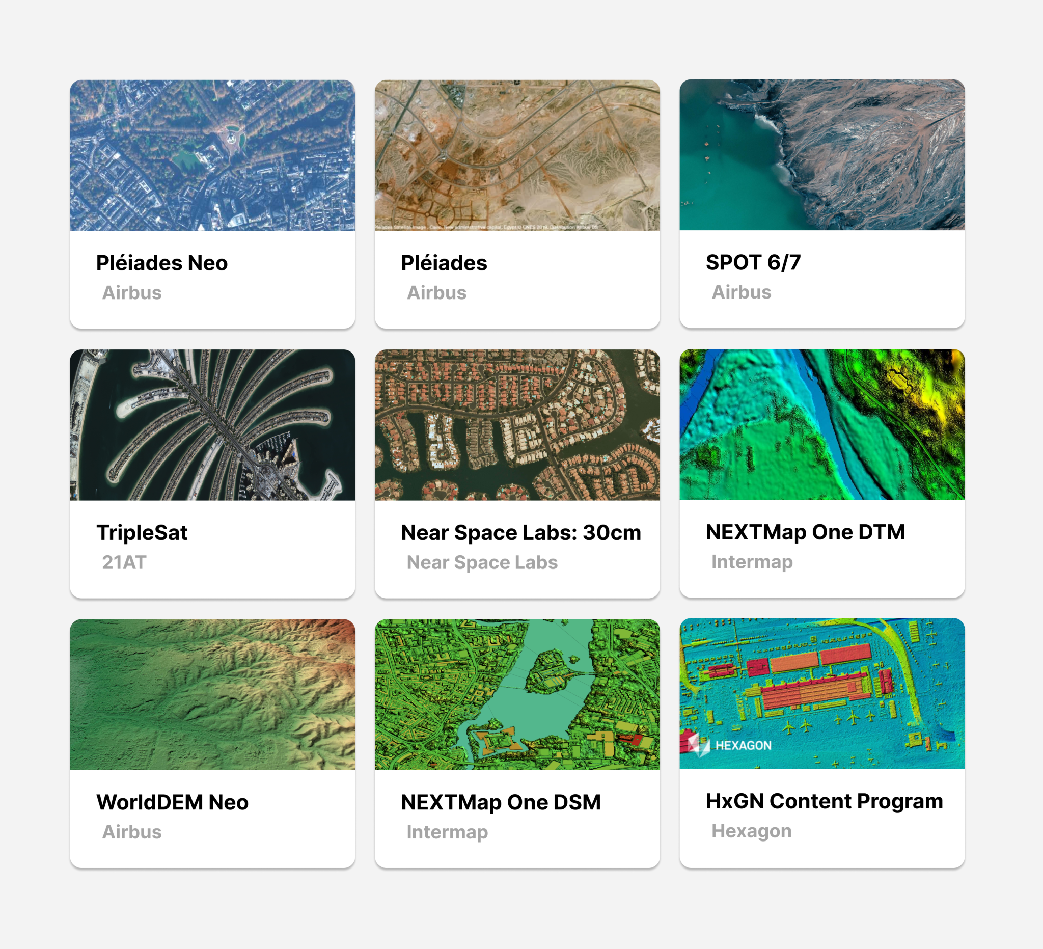
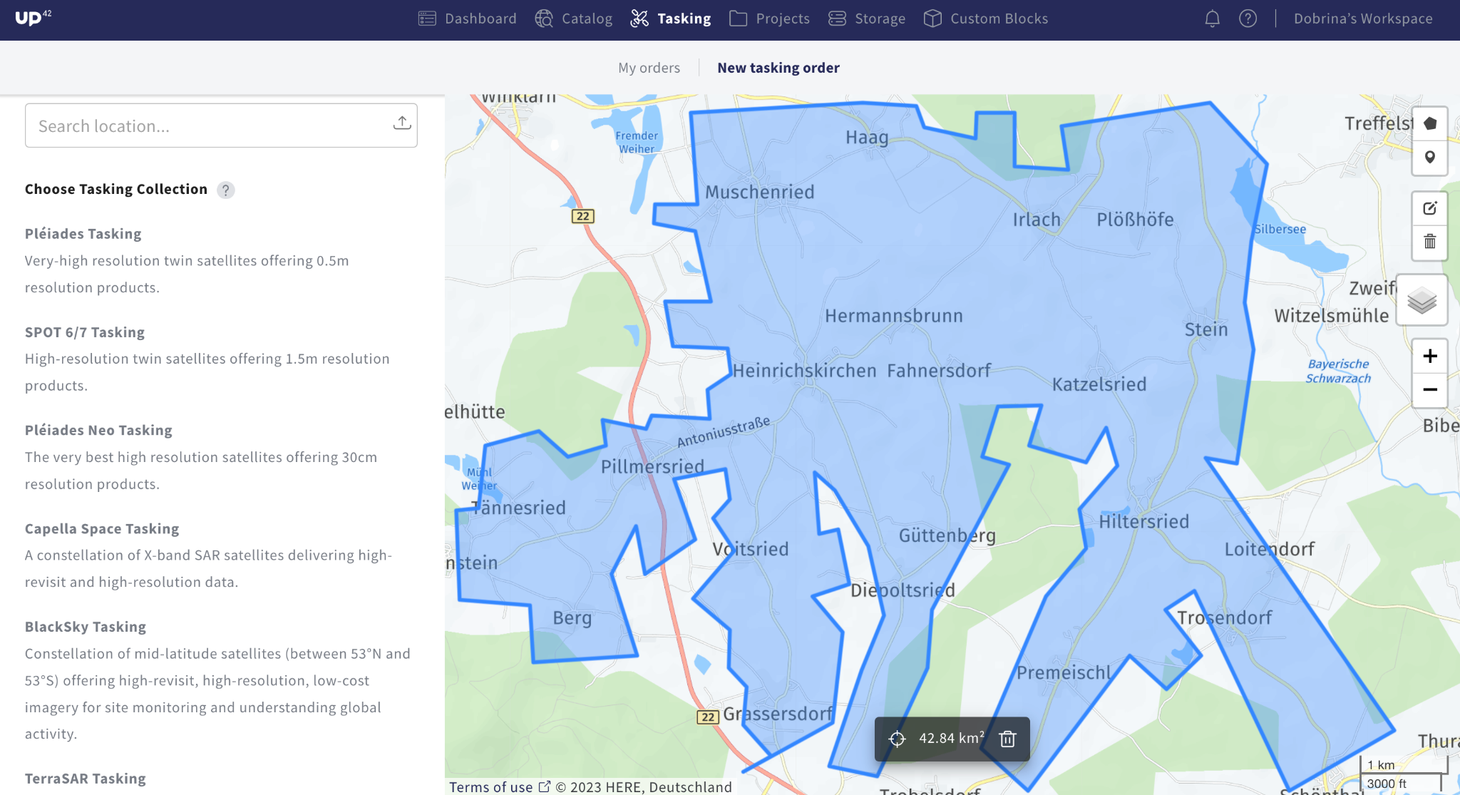
Whether stereo and tri-stereo 0.3m resolution satellite data for accurate DEM generation, digital surface models, or out-of-the-box analytics for vegetation indices and tree height detection, UP42's geospatial platform offers a single touchpoint to order optical, SAR and aerial imagery, elevation data, as well as processing algorithms.
Our experienced customer success, sales, and technical support teams will help you to define requirements, recommend the best data, and monitor your ongoing technical and data acquisition progress from start to finish.
