Strengthen buying power
Simplify commercial arrangements and get high-volume discounts on data
Unify all your geospatial workflows on one platform.
Simplify commercial arrangements and get high-volume discounts on data
Save up to 20% by automating data orders & reducing time spent on contracts
Avoid buying the same data twice with full visibility into company purchases
Better opportunities for multi-use applications and analytics
A single interface. A single contract. Standardized compliance. Harmonized data. Access via API, SDK, console, or add-ins.
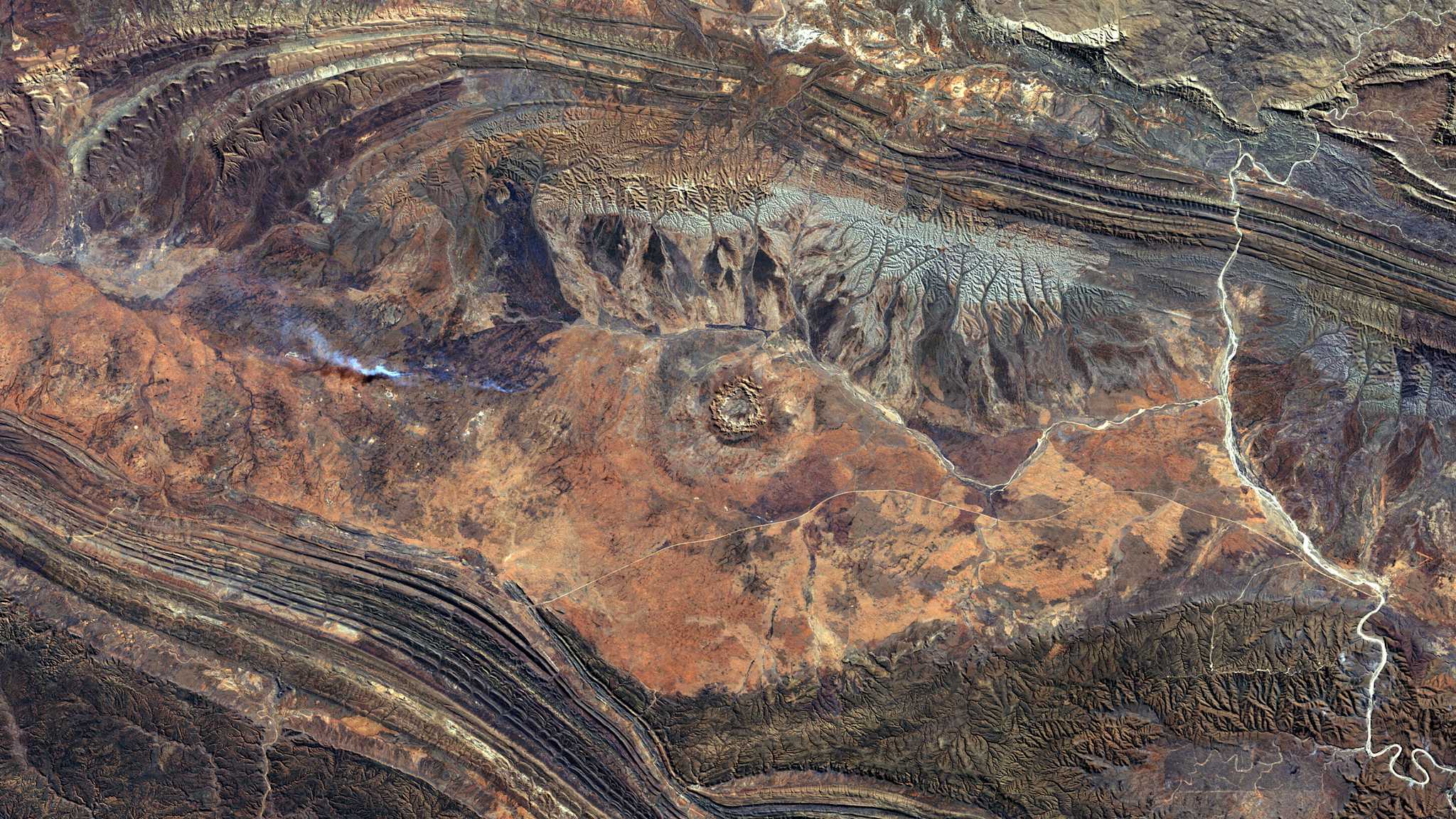
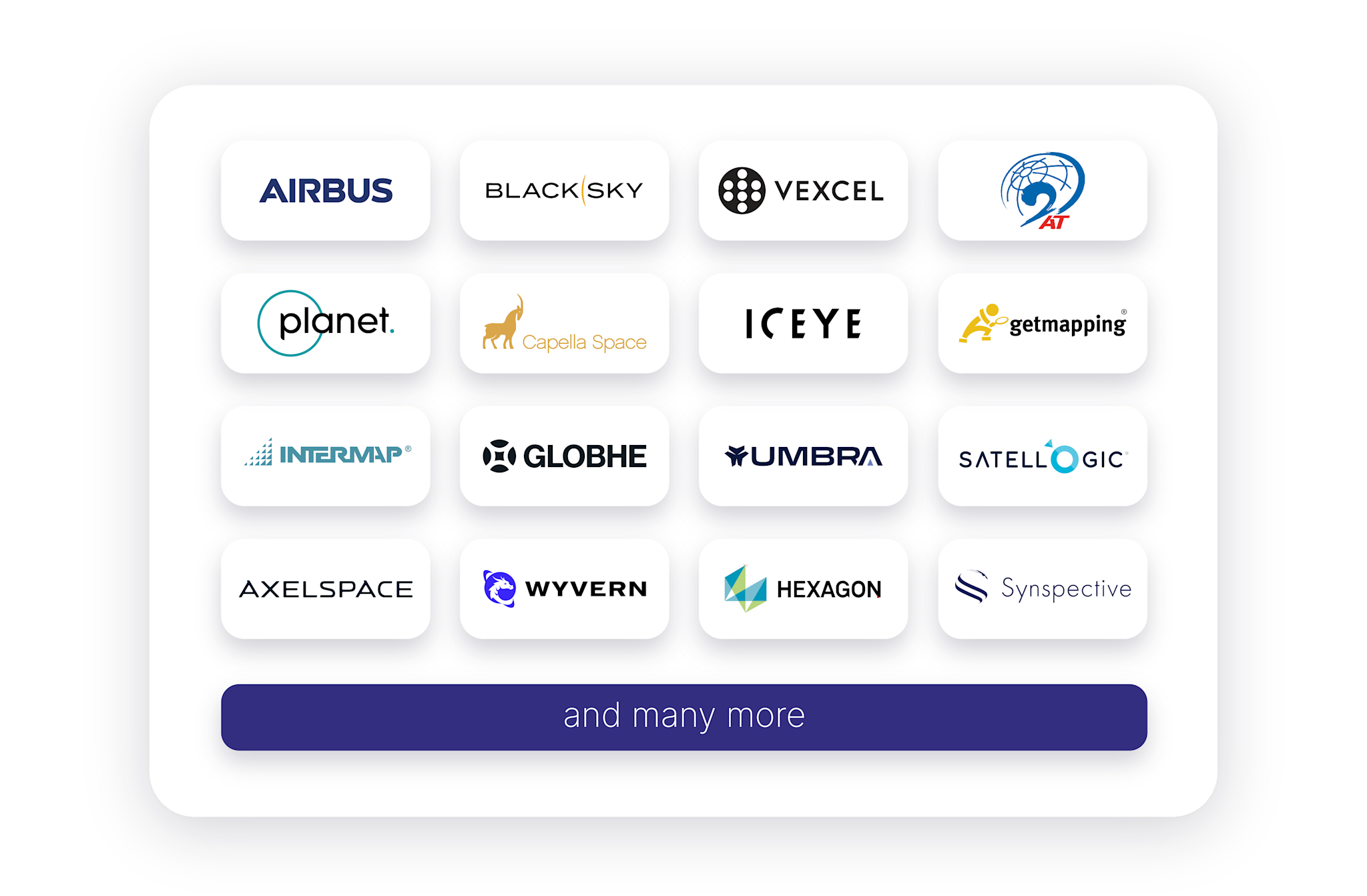
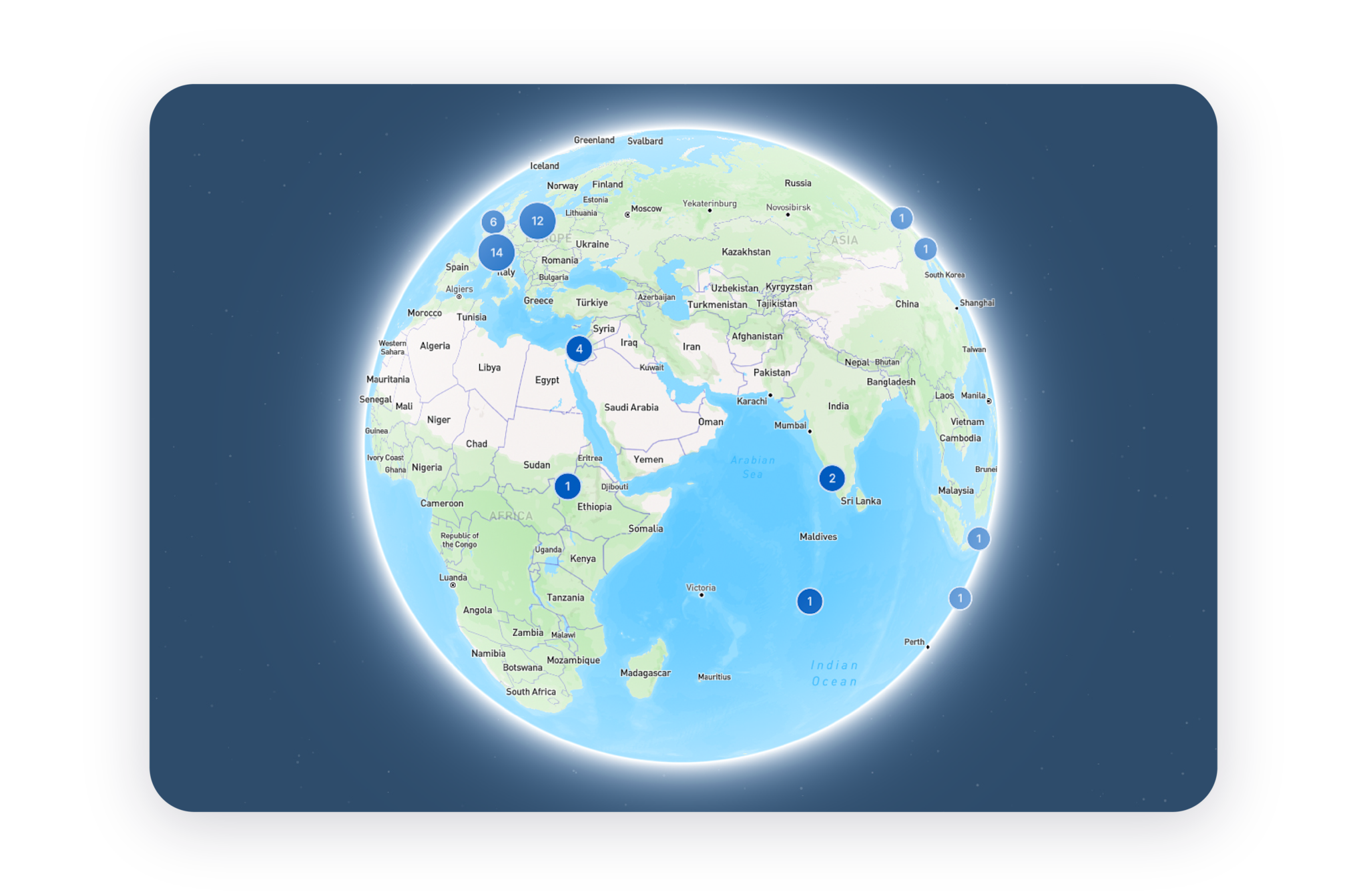
Access archive or fresh Earth observation data—including satellite, aerial, and elevation—and processing algorithms from all leading providers. Choose from various resolutions, acquisition modes, and processing levels to match your project needs—or seamlessly integrate your own contracts and data.
UP42 standardizes and harmonizes data, providing a unified platform for streamlined data management and improved visibility across teams. This centralized approach eliminates data duplication and simplifies integration with major GIS softwares through tools like streaming capabilities or plug-ins for QGIS or ArcGIS.
Gain greater financial control with a consolidated, group-wide budget that increases buying power and unlocks savings. Benefit from a centralized and automated compliance process, and improved budget and account control.
From onboarding and success planning to rapid troubleshooting and custom solution development, we’ll support you every step of the way—even beyond standard business hours. Our expert team ensures fast project turnaround, streamlined integrations, and faster time to market.
