The state of Earth observation in 2026

Earth observation, then and now
Explore the latest in innovation.
A few years ago, in collaboration with Geoawesome, we ran a survey on Earth observation in 2024, and released the results as a free report. And last week, we released a follow-up report created from this year’s survey on the state of the industry in 2026. The survey ran for 5 weeks and gathered answers from 124 professionals. The full respondent breakdown can be found in the report.
Things looked different in January 2024. GeoAI is, obviously, a big part of it, but it’s not the whole story. We wanted to see what had changed the most, where the biggest advances were, and maybe what had moved slower than expected.
To celebrate the release of the 2026 report, Geoawesome hosted a digital event with speakers from UP42, Vantor, and Space4Good. You can watch the intro to the event here, and the panel discussion is available to watch here.
Key topics
About the report
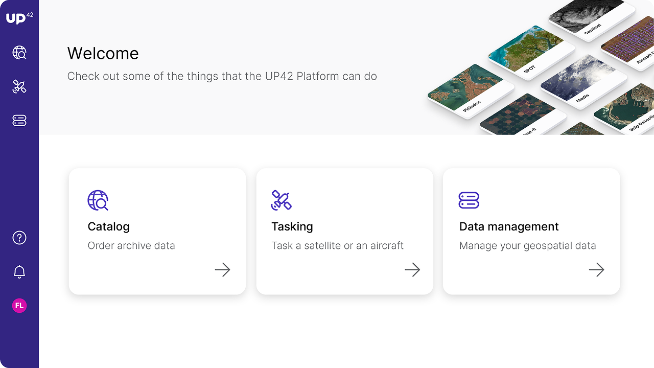
We'll give a technical walkthrough on converting remote sensing imagery into standardized analysis-ready data. Topics will include:
- Automated data standardization: Standardize multi-provider imagery into cloud-native formats for direct ingestion into GIS tools and analytical pipelines.
- Precision orthorectification: Watch Intermap demonstrate how NEXTMap 1m DTMs remove terrain displacement to deliver sub-pixel horizontal accuracy.
- End-to-end processing: Apply orthorectification, pansharpening, true color conversion, co-registration, and upsampling to increase model performance and cut costs.
Key takeaways from the report
77% of respondents use a combination of open and commercial data in their work
Open/free data sources, such as ESA's SENTINEL program, are extremely important to the industry. However, many companies still turn to commercial data sources for higher resolution and revisit rates.
20% of respondents said that data availability was the biggest industry challenge faced by their organization
Earth observation data is now easier to access than ever before, but there are still significant challenges holding us back.
"Ipsum sit mattis nulla quam nulla. Gravida id gravida ac enim mauris id. Non pellentesque congue eget consectetur turpis. Sapien, dictum molestie sem tempor. Diam elit, orci, tincidunt aenean tempus."
Tristique odio senectus nam posuere ornare leo metus, ultricies. Blandit duis ultricies vulputate morbi feugiat cras placerat elit. Aliquam tellus lorem sed ac. Montes, sed mattis pellentesque suscipit accumsan. Cursus viverra aenean magna risus elementum faucibus molestie pellentesque. Arcu ultricies sed mauris vestibulum.
About Geoawesome
Geoawesomeness is a geospatial blog and community platform united by its belief in the power of location technology to transform the world for the better. We are a global team of over 175 authors sharing our passion and expertise about geospatial technologies and everything awesome around it. Visit www.geowesomeness.com
Get your free copy
We will send you an email with the report
THE HUBSPOT FORM