← Marketplace
Hexagon Aerial — Europe 30 cm
Description
Very high resolution 30 cm optical aerial imagery, acquired over Europe. The collection contains data from 2014 to 2020.
Technical information
| Resolution | 30 cm |
| Spectral bands | RGB |
| Acquisition mode | Mono |
| Geometric processing level | Ortho |
| File format | GeoTIFF |
| Pixel coding | 8-bit |
| Revisit frequency | Variable |
| Minimum charge | 10,000 credits |
| Price after minimum charge | From 1500 credits per km2 |
Coverage map
The datasets are mostly covering urban areas from the following regions in Europe:
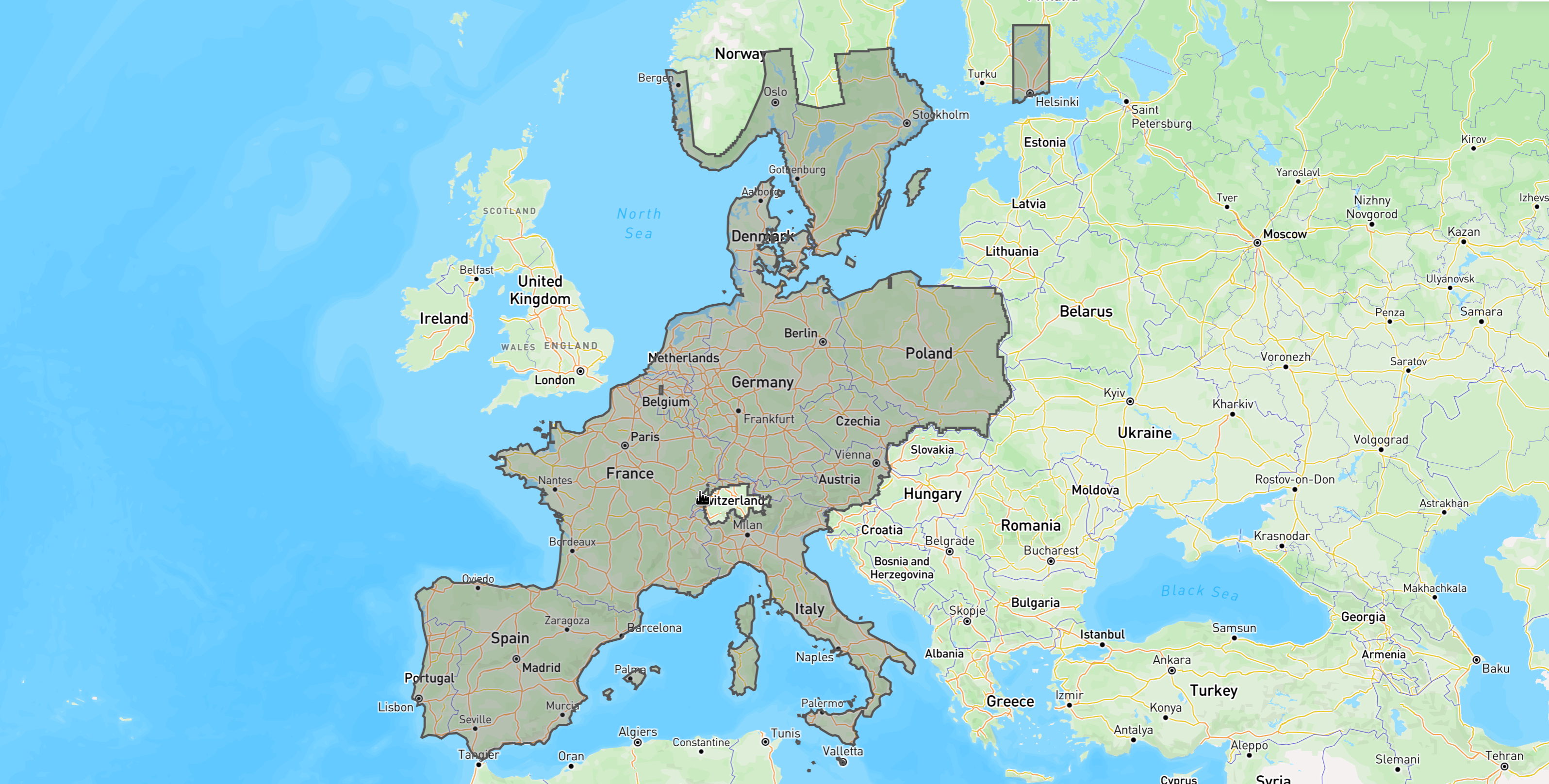
Explore the available areas in our console or see the GeoJSON file of the coverage map. For more information about data availability and acquisition per year, please refer to the Hexagon website.
Further information
For more information, please visit the technical documentation.