Access years of high-resolution archive imagery
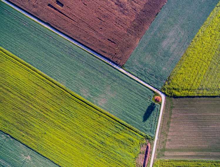
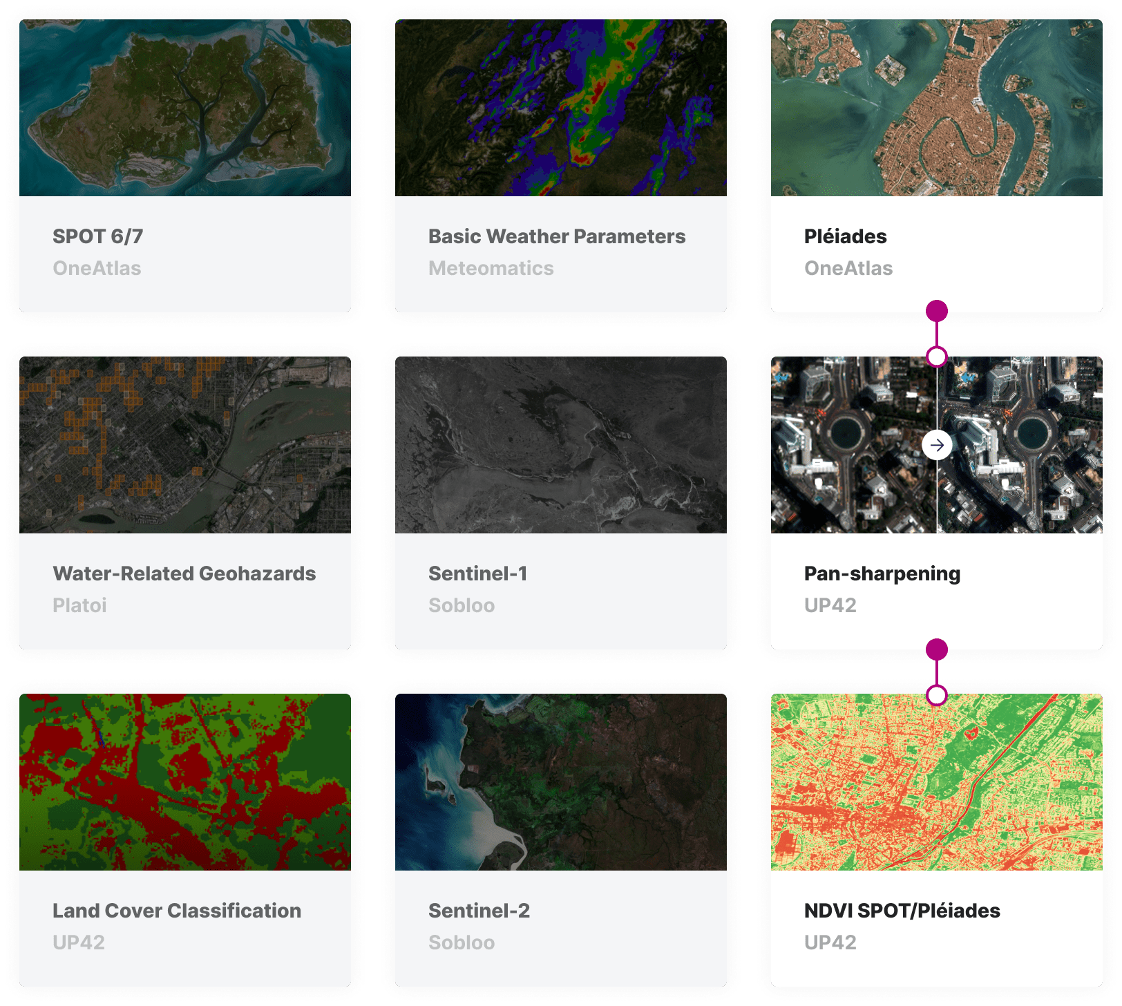
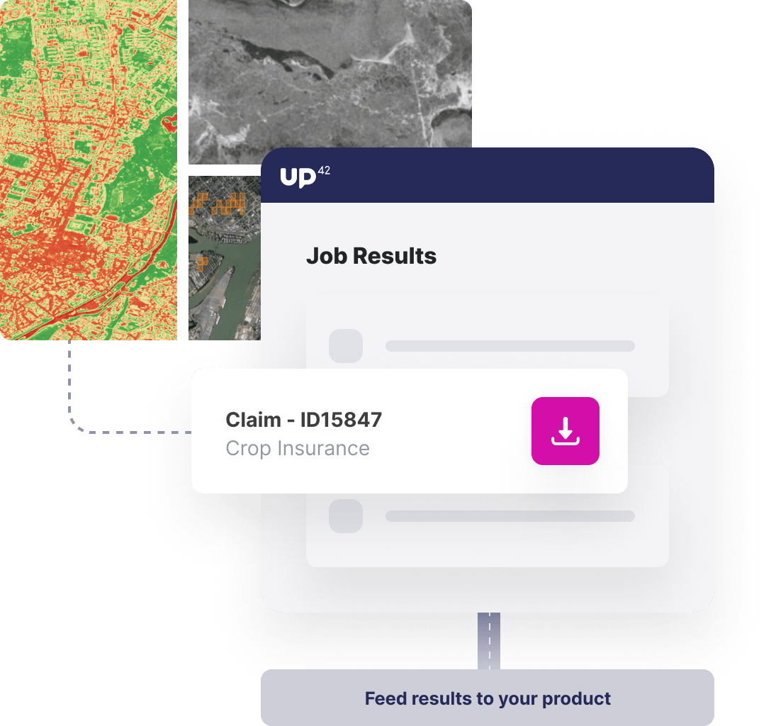
Leverage the breadth and depth of UP42's archive data library, with satellite imagery, weather data, aerial data, and more - some of which have data going back over a decade.
Task satellites for imagery to assess insurance claims
React to insurance claims remotely by tasking high-resolution satellites for specific areas of interest, ensuring low cloud cover and specific incidence angle ranges.
Automate analysis with machine learning
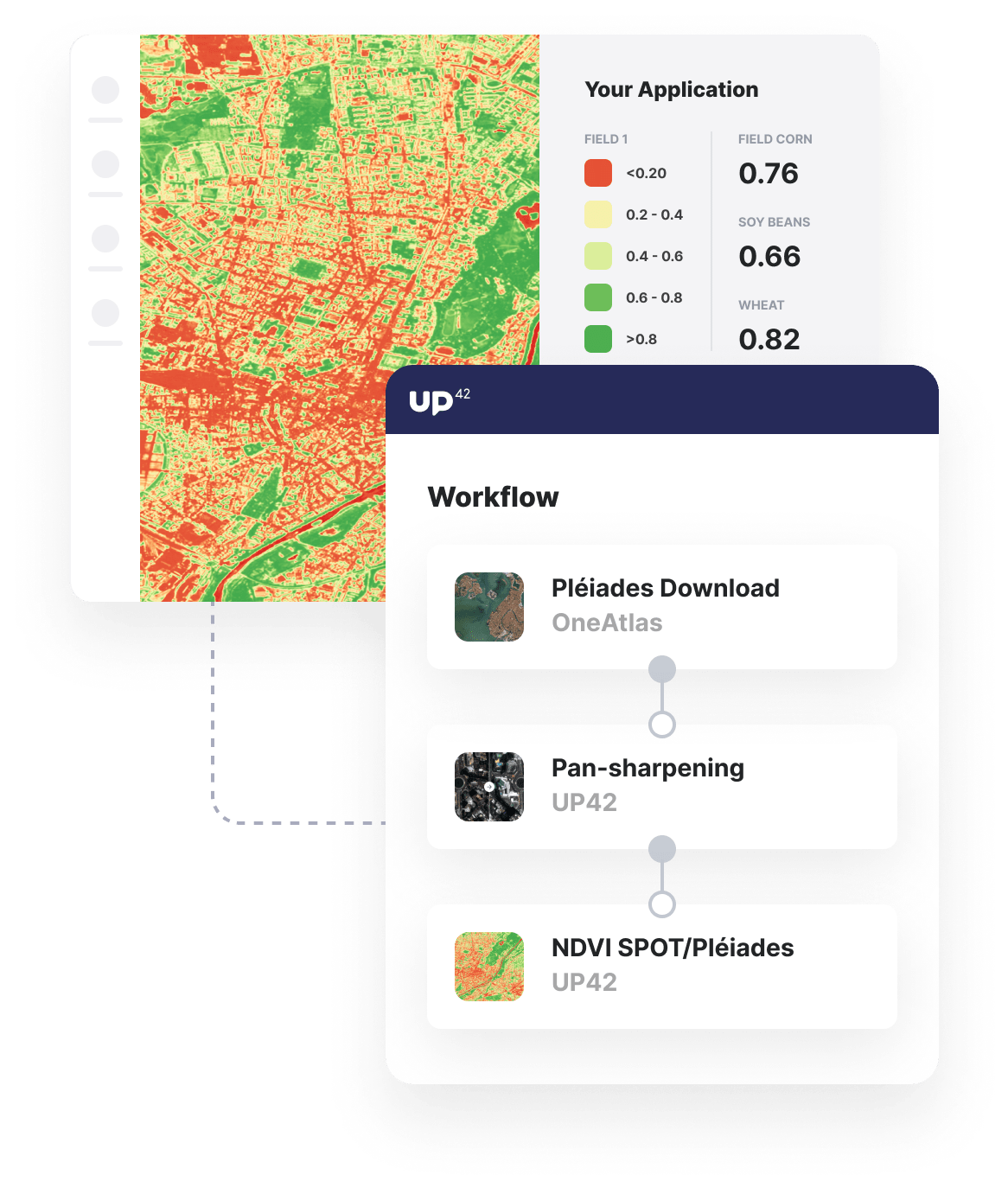
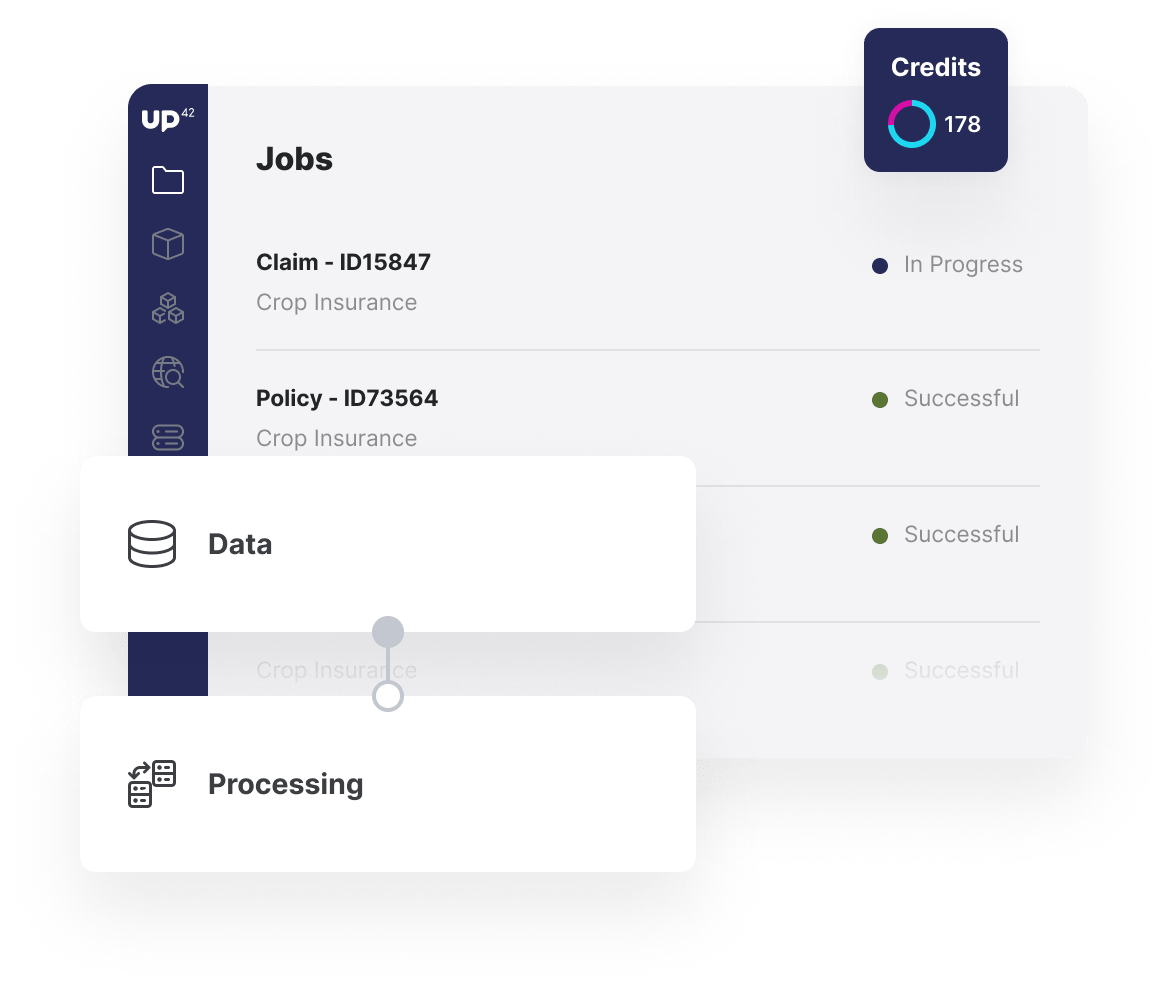
Process your data with out-of-the-box machine-learning algorithms focused on crop health, geohazard predictions, and more.
