Land Use Management
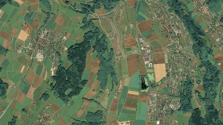
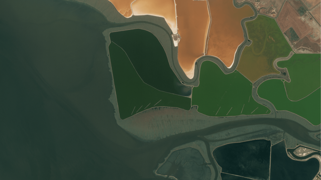
Identify the encroachment of unwanted vegetation, water bodies, and settlements on farmland and pastures.
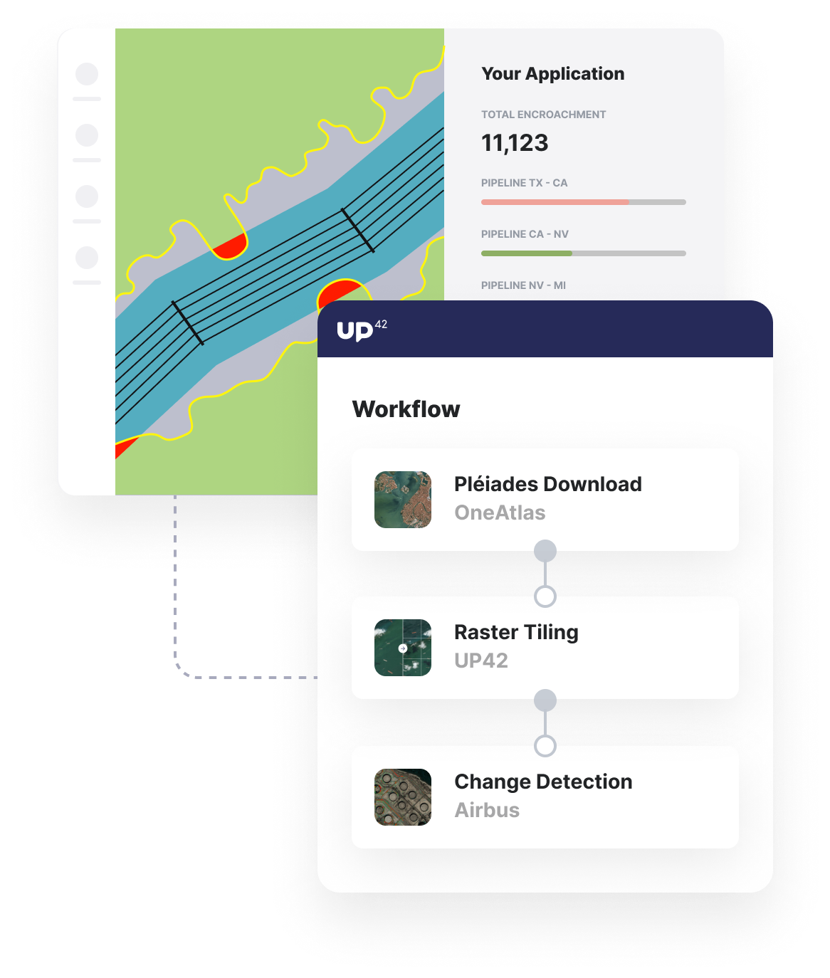
Build applications that proactively monitor areas and automatically detect encroachment on pipelines, railways, and other high-value assets.
Intro
UP42 enables encroachment to be detected and insights to be gathered on the rate of development, size of encroachment, and projected costs and risks. We offer near-real-time Earth observation data, off-the-shelf algorithms, and powerful infrastructure to detect and mitigate encroachment for your areas of interest.
Overview
Archive or on-demand satellite imagery
Either task a satellite for specific date ranges or use the latest archive imagery, filtered by date, cloud cover, and area of your customers' infrastructure.
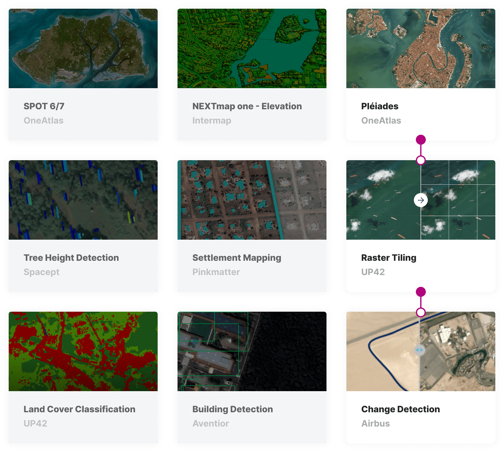
Change detection processing blocks
Access change detection and land use algorithms to give your customers the insights they need to monitor and prevent encroachment on their infrastructure.
Trigger regular processing via API
Run your encroachment detection analytics workflows on a regular basis or when new image data becomes available through the powerful UP42 API.
Identify the encroachment of unwanted vegetation, water bodies, and settlements on farmland and pastures.
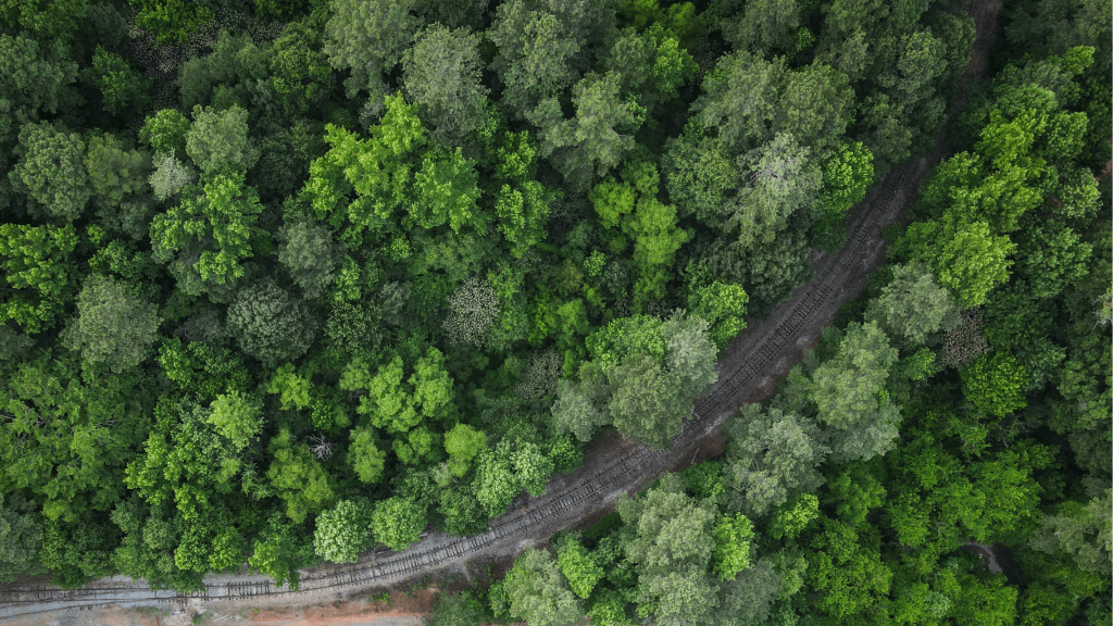
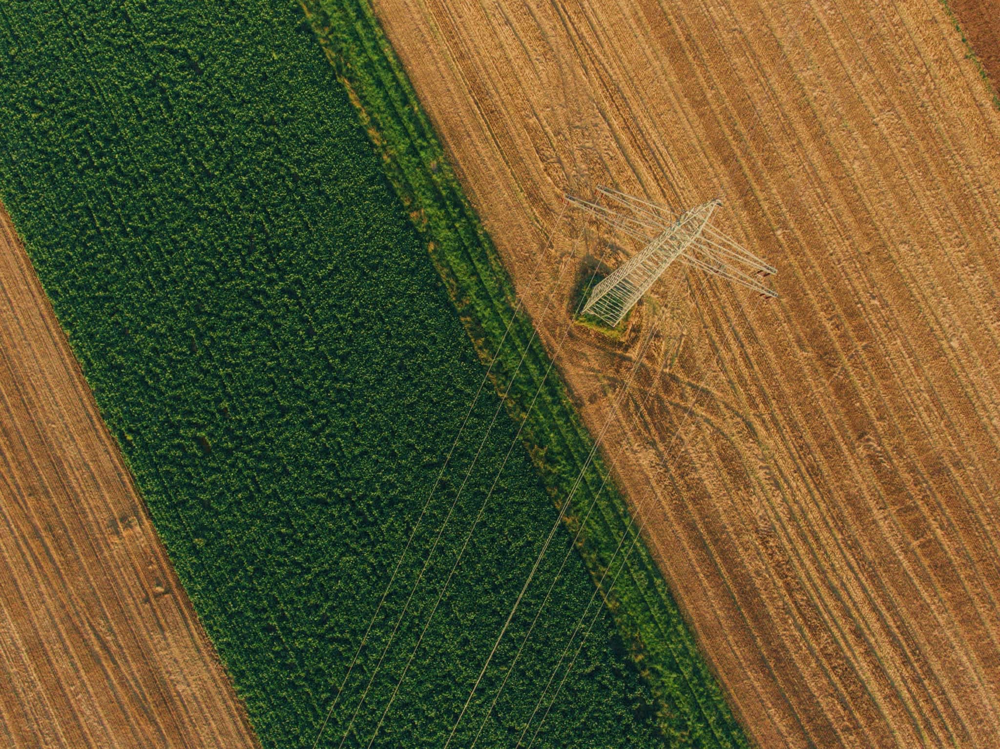
Monitor vegetative encroachment on transport infrastructure and settlement encroachment on high-value assets.
The technical details
Building blocks
Choose your data and analytics
Create a workflow using data and analytics from vast options available on the UP42 marketplace. Or make UP42 your own but bringing in your own data and algorithms to run on our scalable infrastructure. Choose from a range of satellite data sources, weather data, aerial data, and more to feed pre-processing and machine-learning algorithms that are perfect for detecting encroachment.
Processing
Apply algorithms to your data
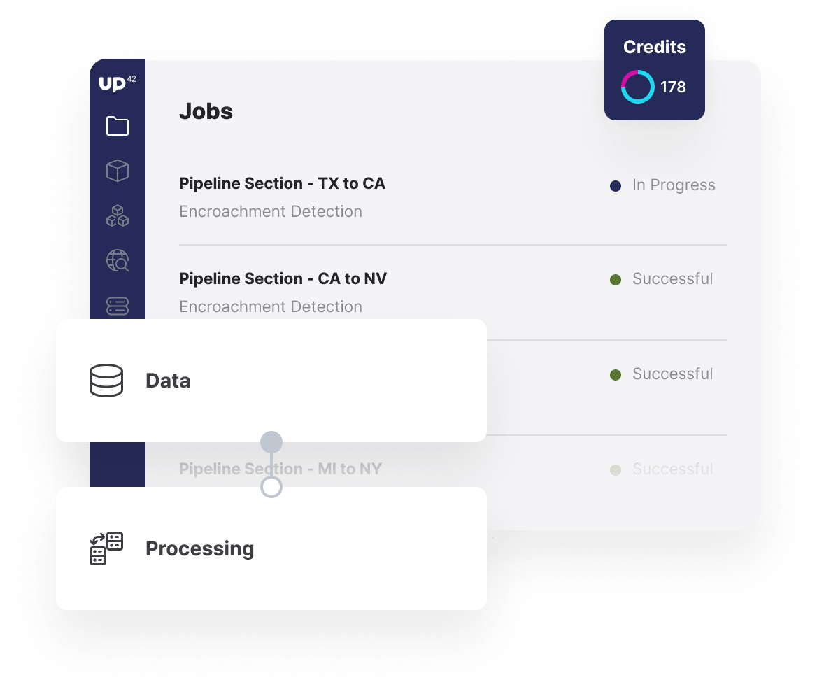
Once you've built your workflow, trigger your analysis with full transparency into progress and pricing. Jobs can be triggered manually or automatically through the API to automatically run analysis when new archive data is available for your customer's area of interest and requirements, such as cloud cover.
Insights
Download your output or call via API
Access your output as a file download within the UP42 console or call the UP42 API to integrate or embed your output into your own solution. Outputs of the change detection and land cover algorithms can be downloaded as a GeoTIFF to alert your customers to changes in land use or reduction in the area surrounding critical infrastructure.
API
Automate, embed, and scale your analytics
Through the UP42, and supported by the Python SDK, it is easier than ever to automate your analysis based on specific events, triggers, or customers' requests. You can easily call intermediate or final outputs via API to integrate them into your application. Furthermore, for larger AOIs, you can seamlessly scale your encroachment detection by parallelizing analysis.
import up42
up42.authenticate(project_id="12345", project_api_key="12345")
project=up42.initialize_project()
workflow = project.create_workflow(name="Encroachment", use_existing=True)
input_tasks=['oneatlas-pleiades-aoiclipped','tiling','change-detection']
workflow.add_workflow_tasks(input_tasks=input_tasks)
parameter = workflow.construct_parameters(
geometry=[13.46485, 52.497329, 13.465558, 52.497969],
geometry_operation="bbox",
scene_ids=[
"DS_PHR1B_202004281031350_FR1_PX_E013N52_0513_01239",
"DS_PHR1A_202005061019188_FR1_PX_E013N52_0513_01183"])
parameter["tiling:1"].update({"match_extents":True})
job = workflow.run_job(input_parameters=parameter, track_status=True)
job.download_results()
Ready to get started? Create an account in seconds and we'll even give you 10,000 credits to get your first insights.