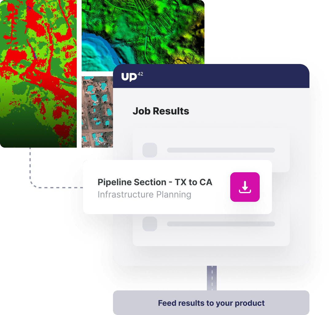
Infrastructure Planning > Hero Image

Use Case

Optimize Infrastructure Construction

Conduct analysis to find the optimal location and routes for critical infrastructure, such as railways, roads, powerlines, and more.

Intro

Build infrastructure intelligently with UP42

Finding the optimal way to construct infrastructure running from point A to B requires the consideration of many variables. With UP42, those variables are available at the click of a button. UP42 provides the data and insights you need to help your customers build intelligently from maps to elevation models to object detection on satellite imagery.

Overview

Satellite imagery, DEM data, and more

Start your infrastructure planning with the best data. Combine high-resolution satellite imagery, digital elevation models (DEM), and a variety of other variables.

Minimize disruption to existing infrastructure

Detect buildings, storage tanks, and more to find infrastructure routes that avoid obstacles. Leverage DEM models to build where elevation changes are least extreme.

Interpret or automate your analysis

Easily integrate data and insights from UP42 into your own models to automate the optimal route analysis or visualize the insights within external tools, such as QGIS.
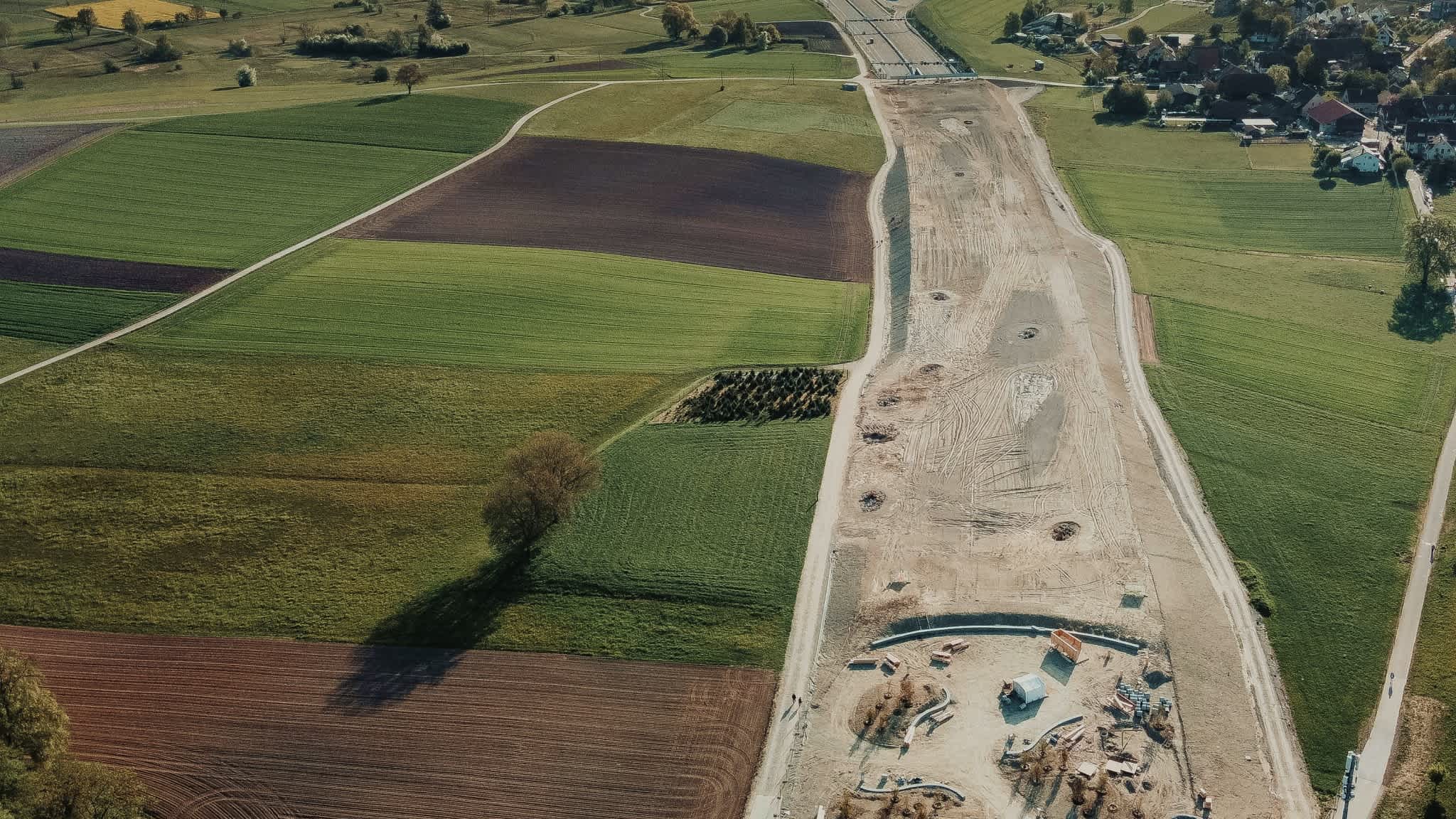
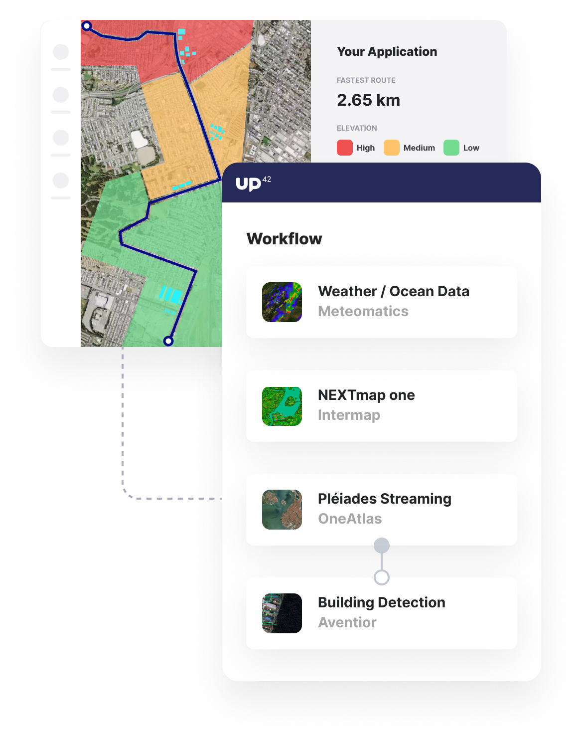
figure.usecase-infrastructure-planning
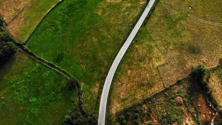
satellite-road-fields

Benefits

Benefits for you

  • Access all the different data sources you need in one system to make integration into your products effortless.
  • There's no need to start from scratch. Access a wide range of identification and change detection algorithms.
  • Volume-based pricing to make accessing data across vast areas affordable.
  • Ensure you have the data for precisely the period you need through our bespoke tasking service.

Benefits for your customers

  • Build infrastructure with confidence, knowing the insights are derived from industry-leading data providers.
  • Ensure a holistic solution to the infrastructure planning problem, taking into account all geospatial variables.
  • Access the insights within the tools of your choice, from QGIS to legacy infrastructure planning software via API.

Infrastructure planning for:

Infrastructure & Utilities

Infrastructure & Utilities

Identify the optimal route or location for infrastructure from railways to powerlines, all in one simple, powerful, and scalable platform.

Oil, Gas, Minerals & Energy

Oil, Gas, Minerals & Energy

Identify the most efficient route for oil and gas pipelines to save construction costs and preserve the natural environment.

The technical details

How can you use UP42 to build infrastructure planning solutions?

Data

Varied, industry-leading data sets

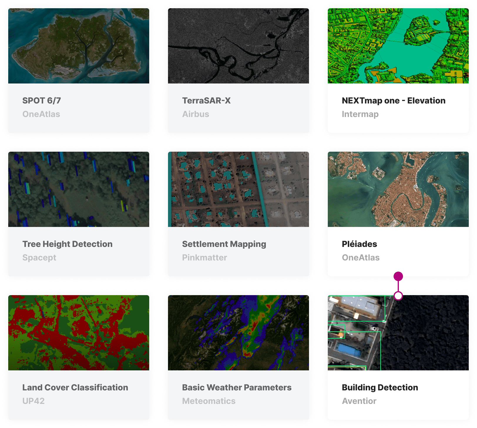
Access high-resolution digital elevation model data from Intermap, alongside Pleiades and SPOT imagery from Airbus. Supplement imagery data with data sets focused on water bodies and mapping information to build a holistic view of your area of interest. Specify your cloud cover, area of interest, and data range to get precisely the high-quality data you need.

marketplace-infrastructure-planning

Processing

Obstacle detection algorithms

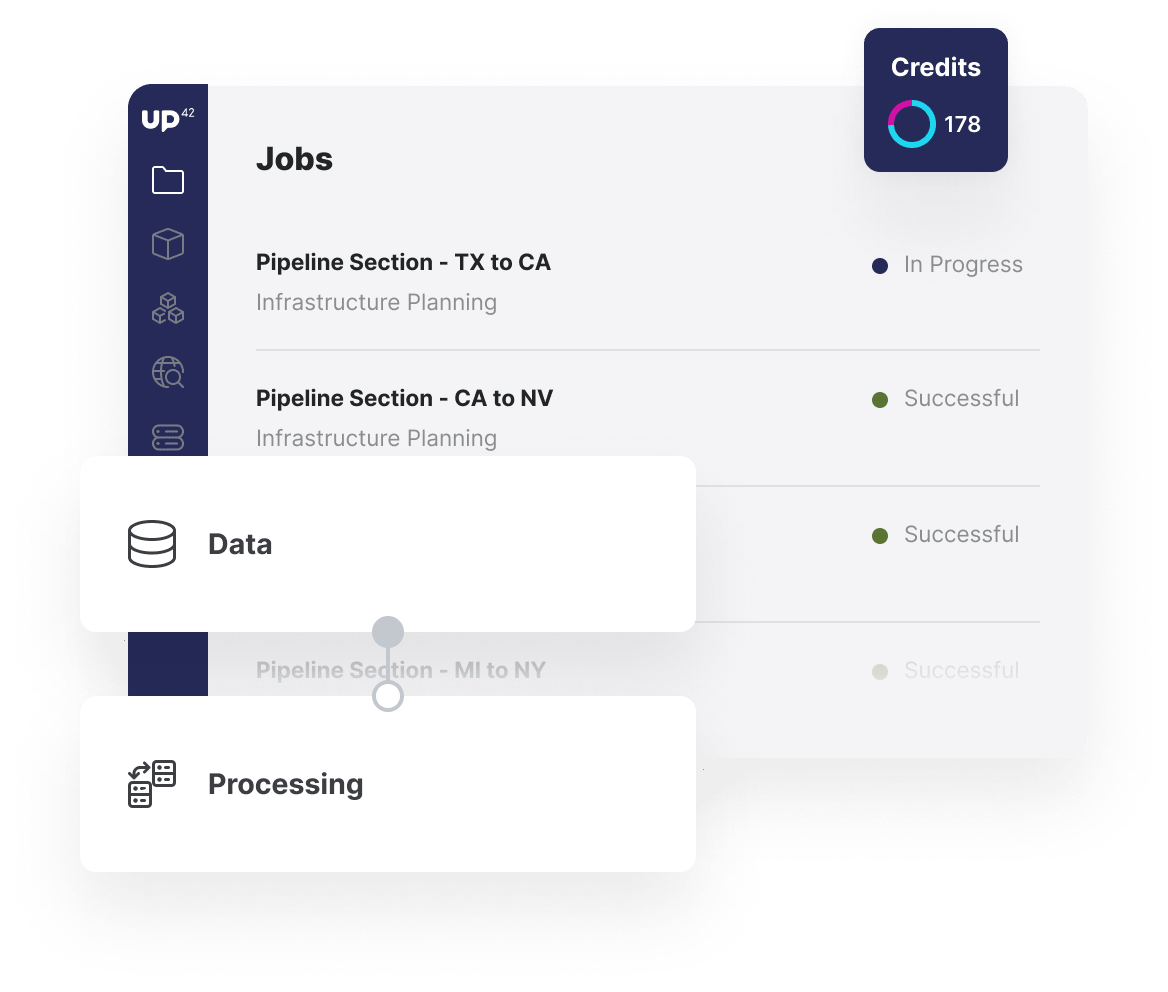
Use detection algorithms from various UP42 partners to detect buildings, storage tanks, wind turbines, and more. These algorithms work seamlessly with Pleiades data and require no customization for your use case or area of interest. Run workflows on UP42 infrastructure in the console or API, specifying the requirement for low cloud coverage.

jobs-workflows-infrastructure-planning

Supplemental data

Consolidate into a suitability index

Combine the insights derived from the algorithms with the water body data, map information, and DEM data to derive a suitability index depending on the severity of obstacles or elevation changes. Easily add this model as a custom block in the UP42 platform to be processed on our infrastructure. Visualize the suitability index on high-resolution satellite imagery or integrate into machine-learning models focused on route optimization.

custom-blocks-infrastructure-planning

API

Automate, embed, and scale your analytics

Through the UP42, and supported by the Python SDK, it is easier than ever to integrate the outputs of UP42 workflows into your end-users' products. Trigger your analysis through the Python SDK and access your outputs via download or integrated into your products or cloud storage. For larger AOIs, you can seamlessly scale your analysis by parallelizing your jobs.

Access our Python SDK

import up42
up42.authenticate(project_id="12345", project_api_key="12345")
project=up42.initialize_project()

# Get elevation data for your area of interest
workflow = project.create_workflow(name="Elevation", use_existing=True)
input_tasks=['nextmapone-1m']
workflow.add_workflow_tasks(input_tasks=input_tasks)

parameter = workflow.construct_parameters(
    geometry=[13.451267, 52.533839, 13.45484, 52.535973],
    geometry_operation="bbox")
parameter["nextmapone-1m:1"].update({"clip_to_aoi":True})

job = workflow.run_job(input_parameters=parameter, track_status=True)
job.download_results()

# Detect buildings in an area of interest
workflow = project.create_workflow(name="Buildings", use_existing=True)
input_tasks=['oneatlas-pleiades-aoiclipped', 'building-detection']
workflow.add_workflow_tasks(input_tasks=input_tasks)

parameter = workflow.construct_parameters(
    geometry=[13.451267, 52.533839, 13.45484, 52.535973],
    geometry_operation="bbox",
    scene_ids="DS_PHR1A_202005061019188_FR1_PX_E013N52_0513_01183")

job = workflow.run_job(input_parameters=parameter, track_status=True)
job.download_results()

Explore the platform

Create an account to order, access, and analyze geospatial data.

Get started