Hero > Oil Seep Detection

Use Case

Detect natural oil seeps

Use Synthetic Aperture Radar (SAR) data combined with other geospatial data and algorithms to identify oil sources in the ocean automatically.

Intro

Automatic oil seep detection with UP42

The detection of oil in the ocean using SAR data is of foremost importance for both oil acquisition and oil spill monitoring. Combining SAR data with ship locations and processed satellite imagery allows you to easily differentiate between natural oil sources and those caused by spills.

Overview

TerraSAR-X and AIS data

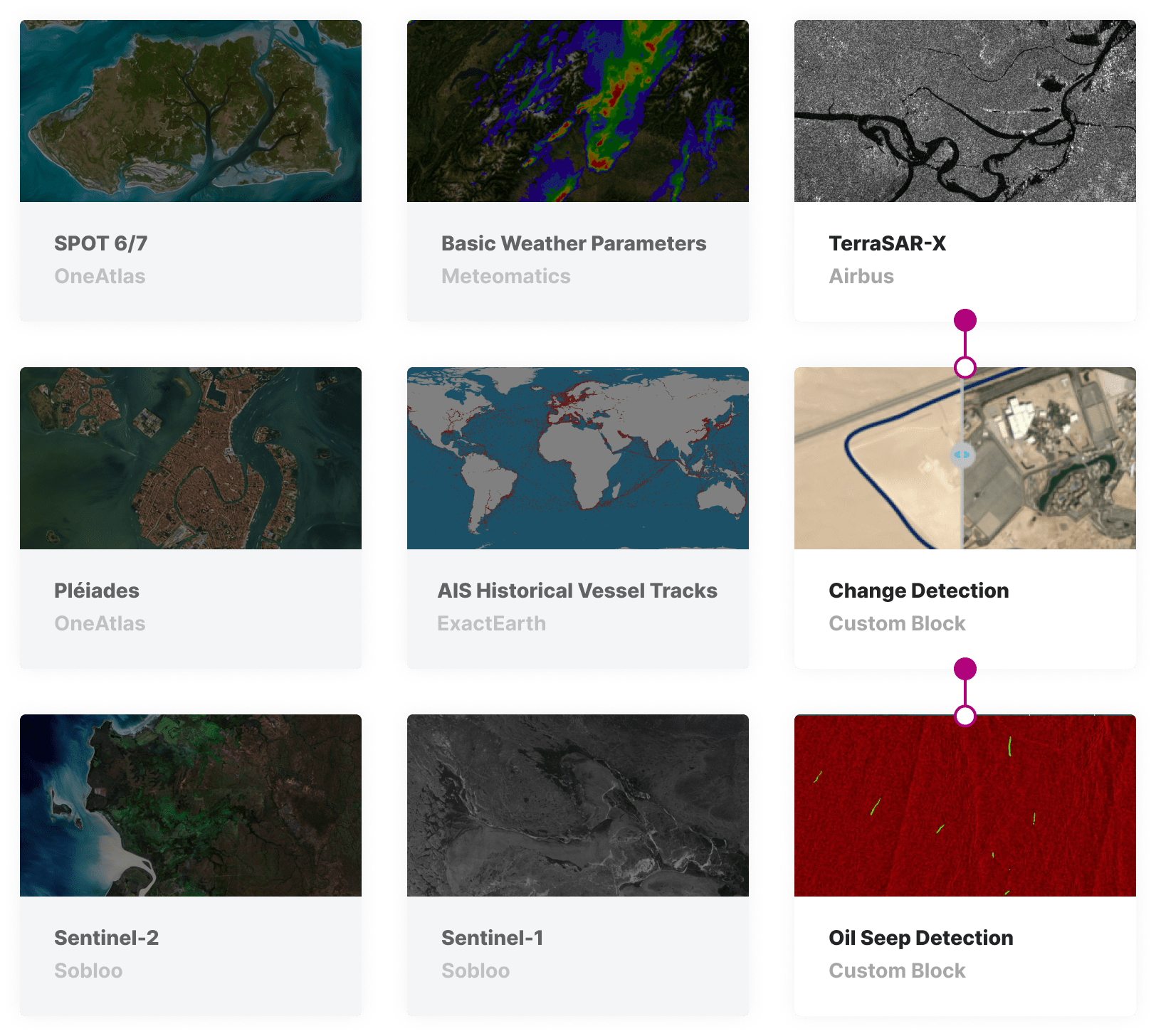
Leverage a vast archive library of SAR data, with both TerraSAR-X and Sentinel-1 imagery. Augment the imagery with industry-leading AIS data from exactEarth.

Ocean-surface oil detection

Use change detection algorithms on historical SAR imagery to identify all the areas in which oil is present on the ocean surface.

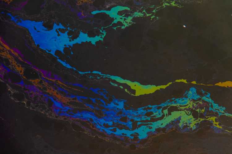
Oil slick vs. natural oil seep

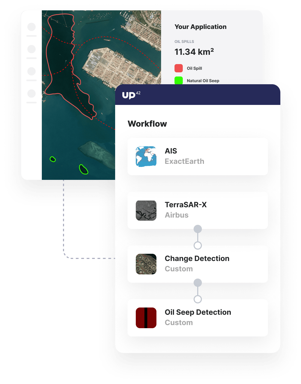
Use AIS data over time to identify shipping lanes and ascertain when the presence of oil is related to ships and when it is due to natural oil deposits under the ocean floor.
usecase-oil-seep-detection
Marketplace background

Benefits

Benefits for you

  • Keep costs down through our scalable volume-based pricing model for many data sources.
  • Access many different types of SAR data, alongside AIS data, in one platform.
  • Run your analysis on our scalable infrastructure that can handle vast areas of interest.
  • Automate your analysis and easily integrate the outputs in external tools via API.

Benefits for your customers

  • Monitor large areas of the ocean and coastline at a relatively low cost.
  • Automatically detect oil seeps moving away from a process that requires time-consuming manual work.
  • Easily different between natural oil deposits and oil slicks caused by ships and rigs.

Oil seep detection for:

Oil, gas, minerals, and energy

Oil, gas, minerals, and energy

Monitor the presence of naturally-occurring ocean-surface oil and to define targets for high-value offshore oil mining.

Environmental protection

Environmental protection

Differentiate between natural oil seeps and humanmade oil spills to identify track ocean areas affected by significant environmental damage.

The technical details

How can you use UP42 to build oil seep detection solutions?

SAR Imagery

Access TerraSAR-X archive imagery

Build up a library of SAR images with coverage over a vast area of interest and date range. For this analysis, SAR images over a wide date range are required to smooth out normal variation in the ocean landscape that occurs due to changes in weather, ocean conditions, and disturbances that occur as a result of ship activity.

marketplace-oil-seep

Weather data and change detection

Identify oil slicks

Using only SAR images captured during periods of low wind - validated by Meteomatics' data on UP42 - you can apply change detection algorithms to the SAR imagery. This will enable you to highlight consistently dark areas, indicating the presence of oil on the surface of the ocean.

jobs-workflows-oil-seep

AIS data

Classifying slicks as natural oil seeps

A decade of AIS data can be called upon to identify shipping lanes in the open ocean. These shipping lanes can be used to classify the presence of natural oil deposits or oil seeps. Oil slicks identified by the radar imagery in the close vicinity to shipping lanes can be concluded to be to do with vessel activity and are, therefore, not candidates for further exploration.

custom-blocks-oil-seep

Open platform

Easily download or integrate results

The outputs of your change detection algorithm and AIS data can be easily be worked with via API, which can be comfortably accessed through our Python SDK. With the SDK at hand, you can automate your analysis, download your results, or integrate the insights into external tools that can be leveraged by the end-user to schedule and begin the exploration of the identified areas of natural oil seepage.

Access our Python SDK

import up42
up42.authenticate(project_id="12345", project_api_key="12345")
project=up42.initialize_project()

workflow = project.create_workflow(name="Oil Seep Detection", use_existing=True)
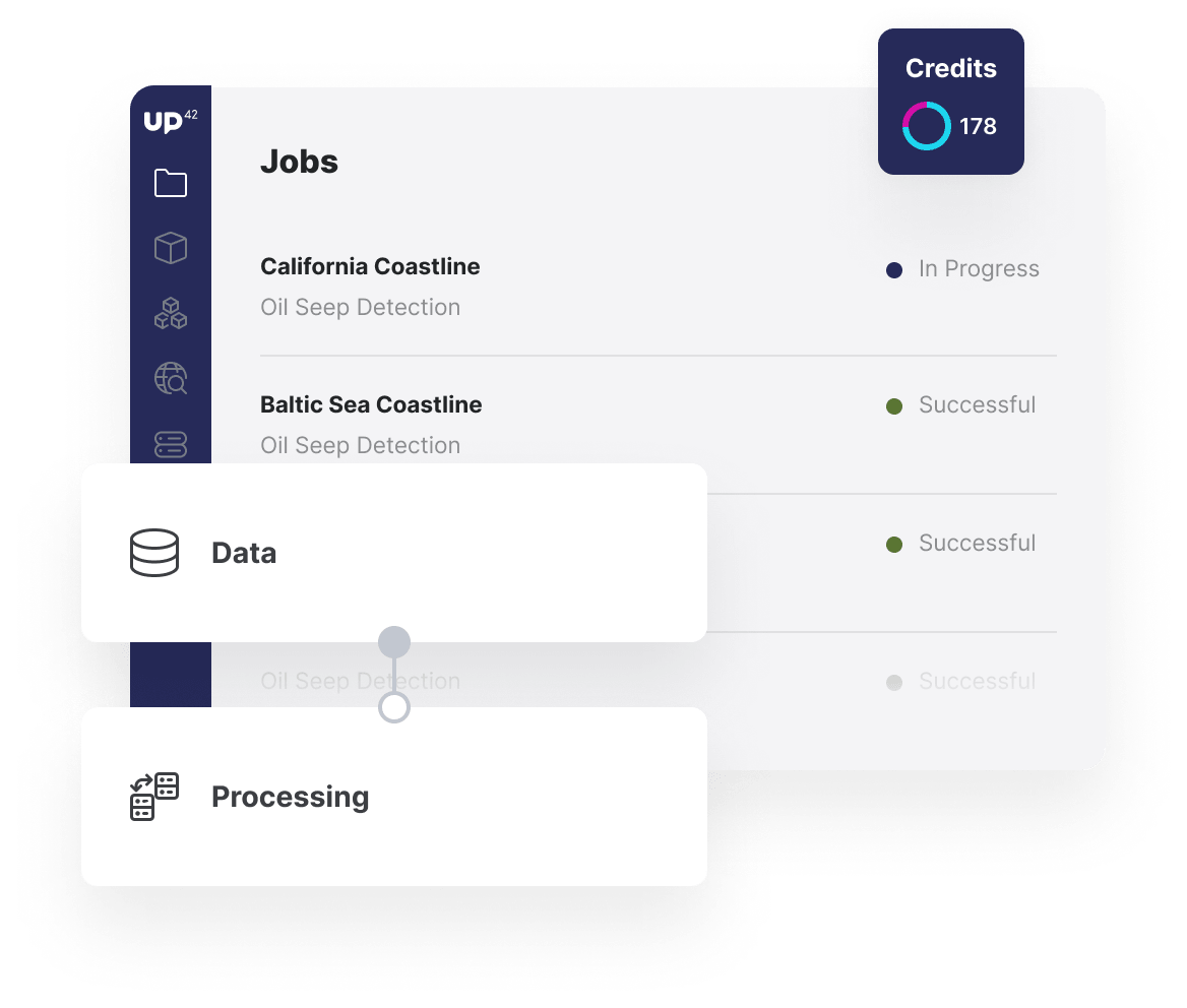
input_tasks=['platforms-up42-up42pitch-tsx-block-eec','chg_detection', 'seep_id']
workflow.add_workflow_tasks(input_tasks=input_tasks)
parameter = workflow.construct_parameters(
    geometry=[13.413234, 52.539197, 13.415015, 52.540423],
    geometry_operation="bbox",

job = workflow.run_job(input_parameters=parameter, track_status=True)
job.download_results()

Explore the platform

Create an account to order, access, and analyze geospatial data.

Get started