Precision Agriculture > Hero Image

Use case

Micro-decisions, optimized crop yield

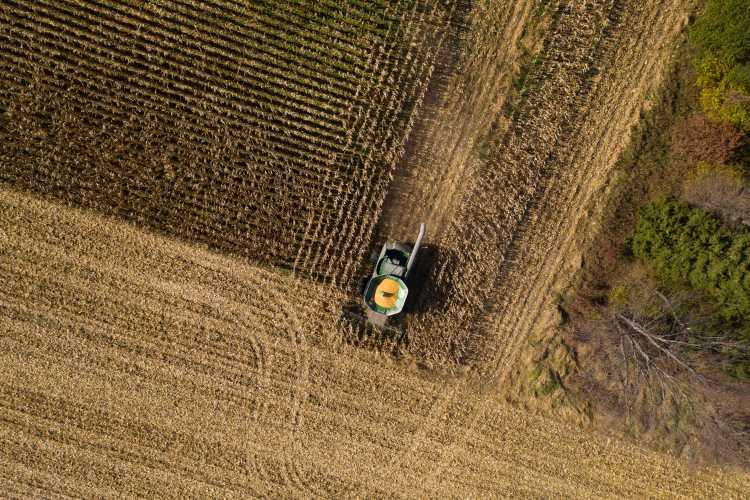
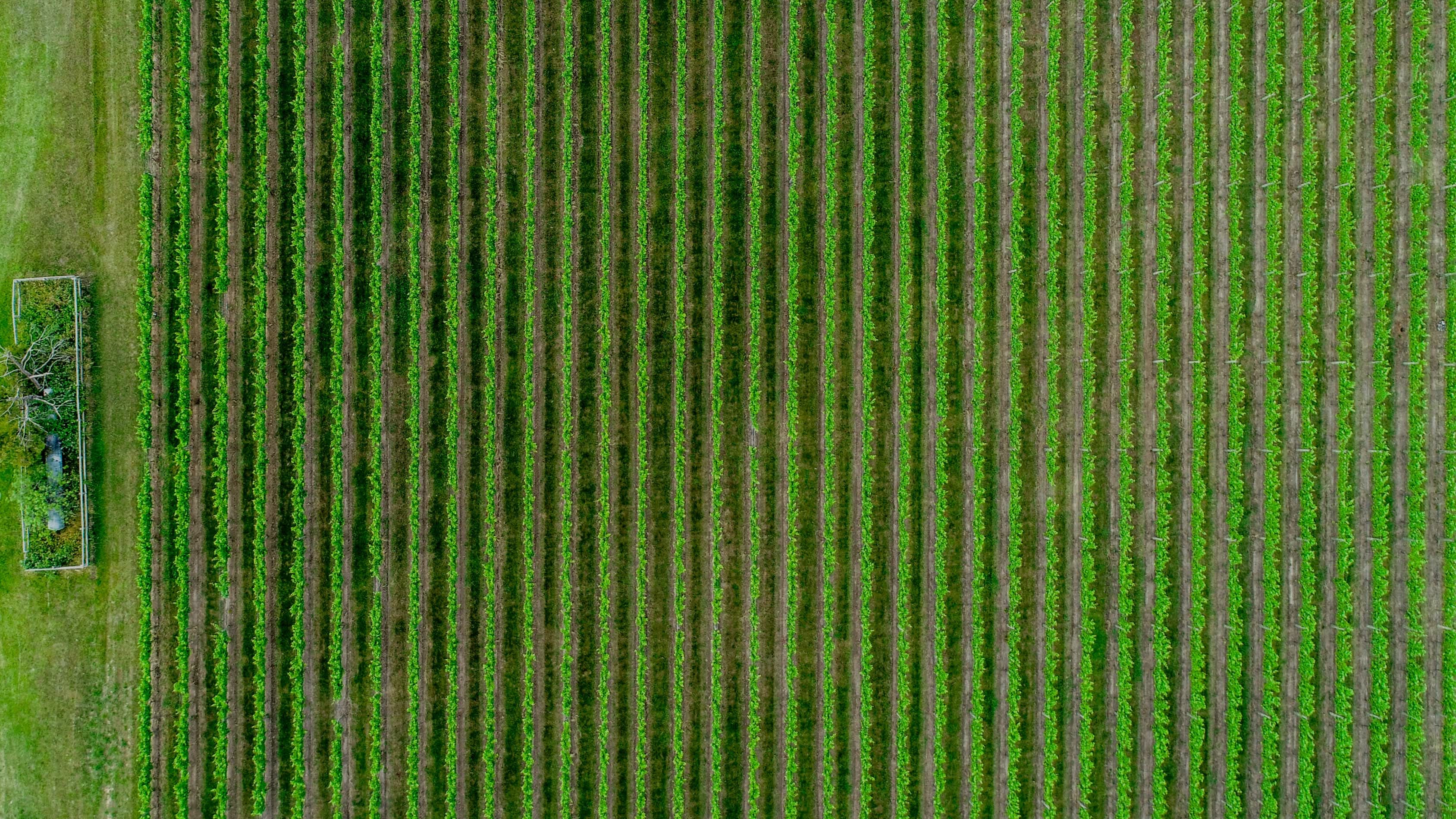
Build solutions that enable every square meter of agricultural land to be treated with the appropriate fertilizer, irrigation, and harvest timeline.

Intro

Support precision agriculture with UP42

In the face of increased climate variation and extreme weather, industrial agriculture companies are neutralizing risk through crop insurance. The pricing of crop insurance policies can be remotely informed by historical analysis and predictions of crop health, weather events, and water-related geohazards, such as flooding or irrigation contamination.

Overview

Regular imagery with no minimum AOI

Either task a satellite for specific date ranges or use the latest archive imagery, filtered by date, cloud cover, and area of your customers' infrastructure.

Statistical indexes and machine learning

Out of the box pixel analytics and machine-learning algorithms compatible with satellite imagery optimize agriculture processes.

Processing power that scales

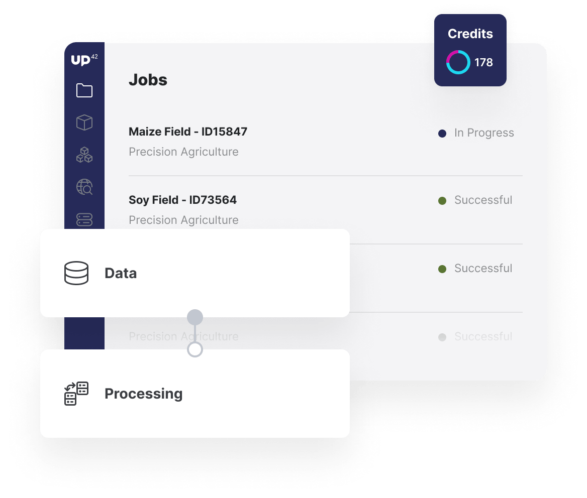
Whether you are running workflows for a single farm or a large industrial agriculture complex, our infrastructure will manage the load.
usecase-precision-agriculture
Precision Agriculture > Benefits Image

Benefits

Benefits for you

  • With no minimum AOI, access data for a single farm or an agricultural complex with pricing that works for you.
  • Combine pixel analytics, such as NDVI, with machine-learning models in a single platform.
  • Avoid repetitive setup for each farming customer you have by processing on our scalable infrastructure.
  • Ensure you have the data for precisely the period you need through our bespoke tasking service.

Benefits for your customers

  • Receive micro-insights, enabling you to take actions on a per-square-meter basis to maximize your crop yield.
  • Ensure a holistic precision agricultural solution, taking into account variables from weather to satellite imagery.
  • Access the insights within your existing workflows, whether in existing software or receiving images via email.

The technical details

How can you use UP42 to build precision agriculture solutions?

Data and imagery

Varied, industry-leading data sets

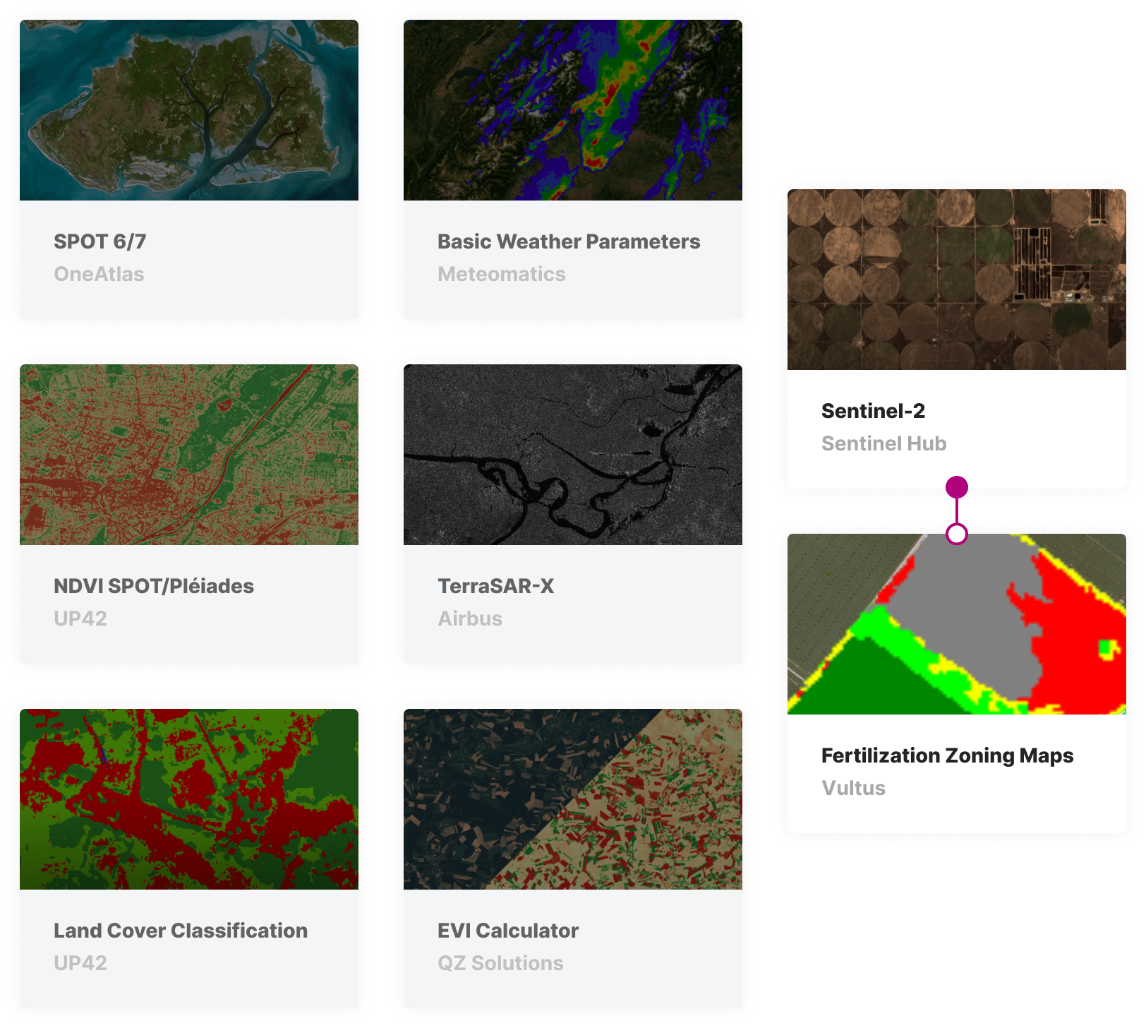
Accurately analyzing the health and requirements of crops relies on accurate and holistic input data. Choose from a variety of high-resolution satellite imagery, alongside aerial imagery, weather data, and more. Add the data directly or process it within an UP42 analytics workflow.

marketplace-precision-agriculture

Pixel analytics

Apply band math blocks to your imagery

UP42 has a wide array of statistical indices that can provide detailed information about your crops' health. Choose from NDVI, CIgreen, ARVI, EVI, and SAVI to ensure you have the most suitable measure of crop health for your customers' distinct requirements.

jobs-workflows-precision-agriculture

Machine learning

Deliver accurate recommendations

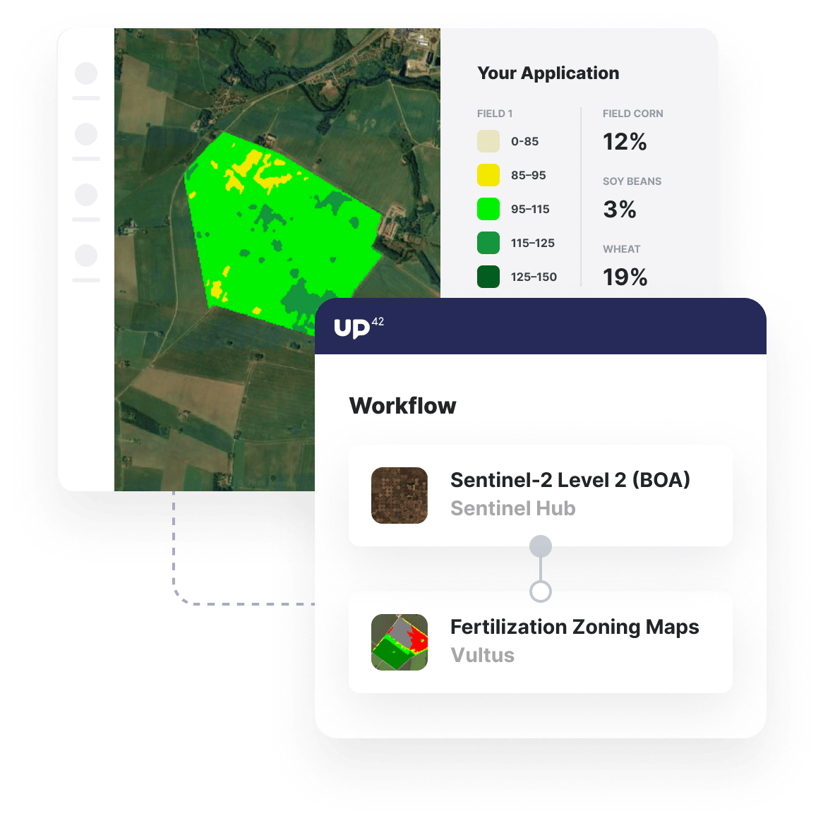
Process your high-resolution satellite data with machine-learning algorithms, such as Vultus's Fertilization Zoning Maps. This algorithm from Vultus, as an example, provides your end-users with targeted recommendations on which areas of their agricultural land require higher or lower amounts of fertilizer.

custom-blocks-precision-agriculture

Insight delivery

Automate, embed and scale your analytics

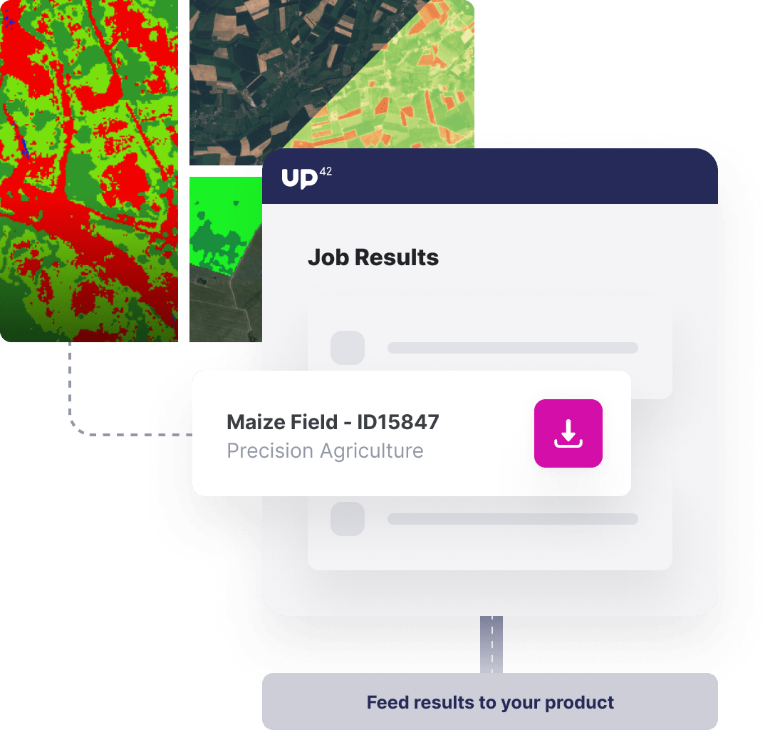
Through the UP42, and supported by the Python SDK, it is easier than ever to integrate the outputs of UP42 workflows into your end-users' products. Trigger your analysis through the Python SDK and access your outputs via download or integrated into your products or cloud storage. For larger AOIs, you can seamlessly scale your analysis by parallelizing your jobs.

Access our Python SDK

import up42
up42.authenticate(project_id="12345", project_api_key="12345")
project=up42.initialize_project()

workflow = project.create_workflow(name="Precision Ag", use_existing=True)
input_tasks=['sentinelhub-s2-aoiclipped','fertilization-zoning-map']
workflow.add_workflow_tasks(input_tasks=input_tasks)
parameter = workflow.construct_parameters(
    geometry=[13.41686, 52.51167, 13.422503, 52.514706],
    geometry_operation="intersects",
    start_date="2020-01-01",
    end_date="2020-10-14",)
parameter["fertilization-zoning-map:1"].update({"intersects": {
    "type": "Polygon",
    "coordinates": [[13.41686, 52.51167], [13.41686, 52.514706], [13.422503, 52.514706], [13.422503, 52.51167], [13.41686, 52.51167]]
    }})

job = workflow.run_job(input_parameters=parameter, track_status=True)
job.download_results()

Explore the platform

Create an account to order, access, and analyze geospatial data.

Get started