aerial-city

Use Case

Intelligent City and Urban Planning

Understand the complex activities that shape our cities to plan roads, real estate construction, public transport, and critical infrastructure more efficiently.

Intro

Data-driven urban planning with UP42

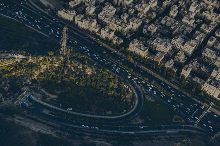
Urban areas are complex, interconnected ecosystems with endless variables that determine which areas of the ecosystem run effectively and which do not. Gaining a better understanding of these variables through geospatial data and analytics enables optimizations that can sustainably improve city life.

Overview

Archive and on-demand imagery

Analyze changes in behavior over time by reviewing archive imagery. Task satellites in the future to examine the effect of policy or construction changes.

Detect, identify, and count objects

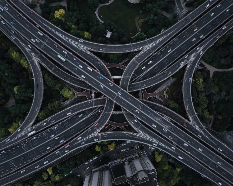
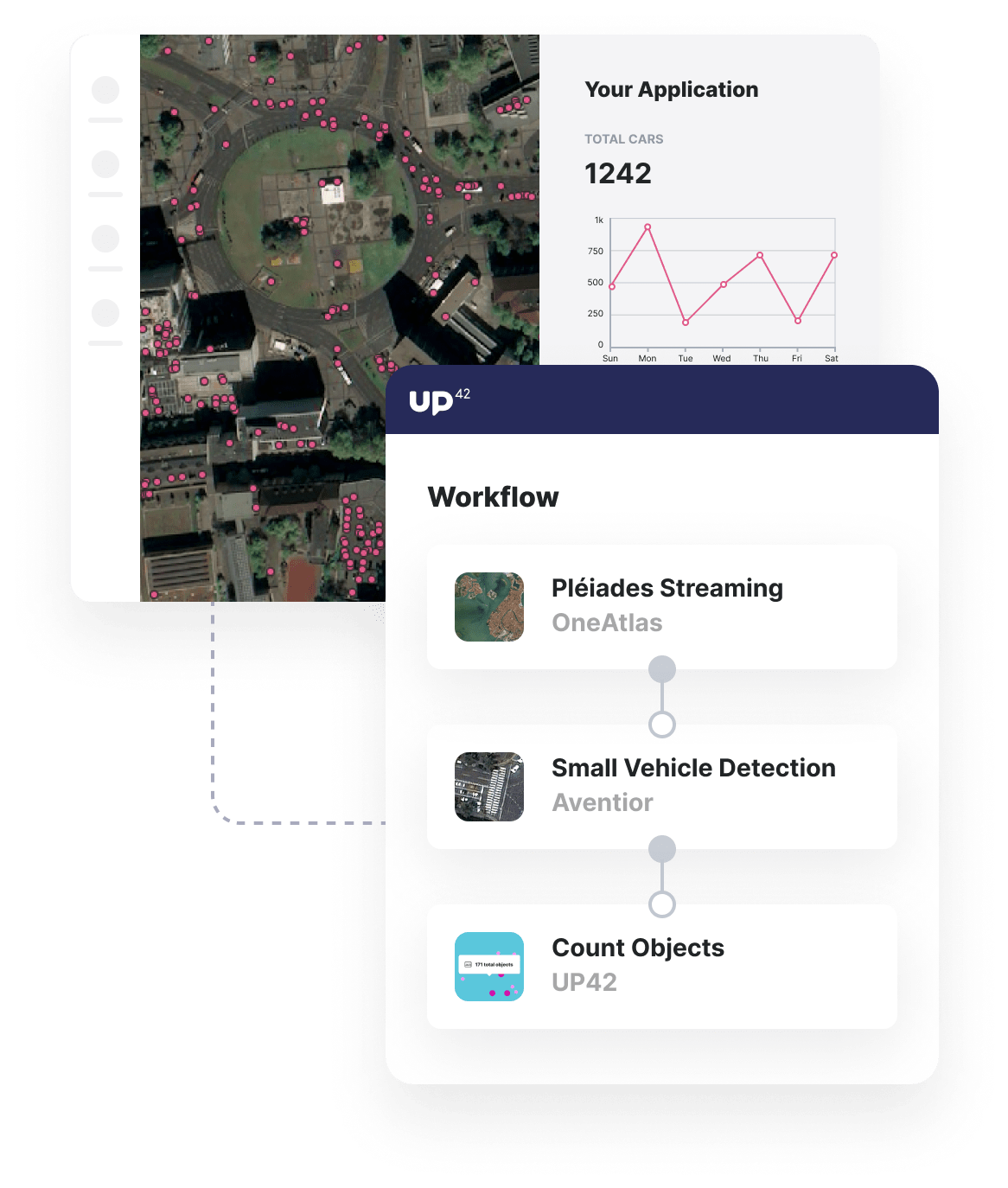
Detect and count the number of specific objects, such as cars, in urban areas, to measure the effectiveness of, for example, traffic reduction policies.

Seamlessly scale analysis

Whether you are running workflows for a single traffic intersection or a motorway spanning an entire country, our infrastructure will manage the load.
usecase-urban-planning
aerial-highway

Benefits

Benefits for you

  • Receive regular imagery as it becomes available through our vast archive of high-resolution satellite imagery.
  • Alongside satellite imagery, access OpenStreetMap data that can provide further information about cities.
  • Access a range of out-of-the-box change and object detection algorithms.
  • Access future satellite imagery to track changes made to city infrastructure, utilizing our bespoke tasking service.

Benefits for your customers

  • Ensure you have a full picture of your urban areas, utilizing various high-quality satellite imagery and mapping data.
  • Gain actionable insights rather than endless imagery that demands manual, time-consuming interpretation.
  • Avoid adding another software platform to your stack. Receive insights directly in existing tools via API.

The technical details

How can you use UP42 to build urban planning solutions?

Data

High-quality satellite imagery

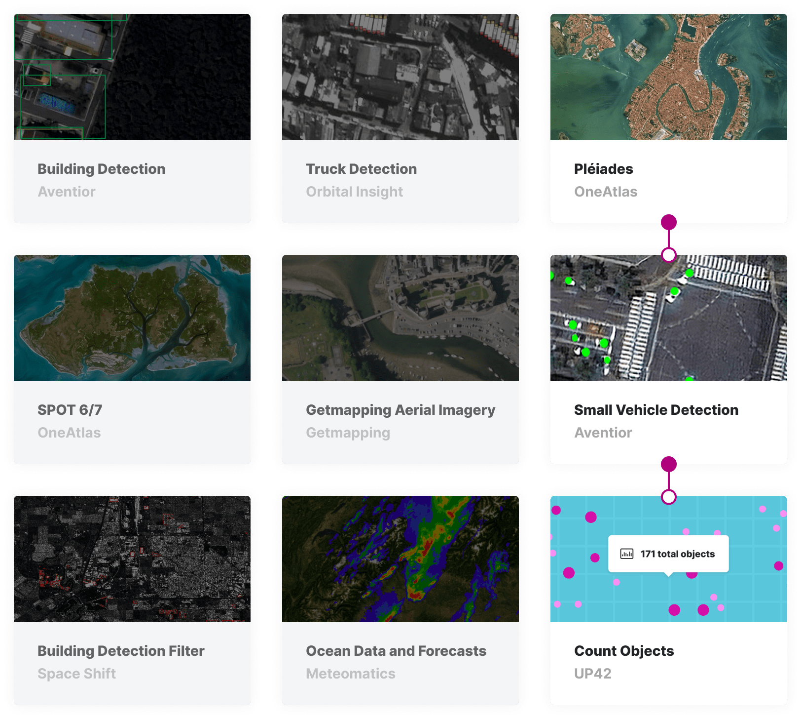
Stream high-resolution Pleiades imagery into your analytics workflow in UP42. For a solution focused on traffic optimization and road construction, you can purchase archive imagery for only your area of interest - perhaps a busy intersection. Utilize our catalog search functionality to find recent Pleiades imagery filtered by low cloud coverage or commission imagery for your AOI in the near future.

marketplace-urban-planning

Processing

Count vehicles in your area of interest

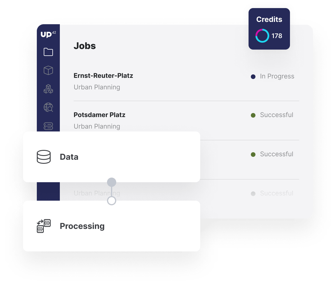
Leverage vehicle detection algorithms to understand traffic patterns in high-congestion intersections or open-air parking areas. Run the algorithm on multiple sets of Pleiades imagery to account for outliers, changes depending on the time of day, and seasonality. Utilize UP42's Count Objects block to turn the detection algorithms' outputs into powerful time-series data sets.

jobs-workflows-urban-planning

Repeat Analysis

Validate the effect of changes

Task Pleiades imagery for a date after changes to the traffic intersection are implemented to guarantee you have imagery for your repeated analysis. Rerun your analytics workflow and estimate the effect of changes to the traffic intersection resulting from the construction or regulatory changes made to the traffic intersection.

custom-blocks-urban-planning

API and Python SDK

Monitor your outputs in external tools

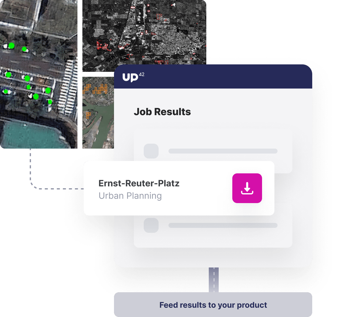
Leverage the UP42 API and Python SDK to run your analytics workflows regularly, receiving insights into the tools that your end users are comfortable with. Enable the visualization of outputs in software, such as QGIS, or build reports using the GeoJSON and GeoTIFF outputs of your analysis. These outputs can be integrated directly into your Google Cloud or AWS storage using our Export Data block.

Access our Python SDK

import up42
up42.authenticate(project_id="12345", project_api_key="12345")
project=up42.initialize_project()

workflow = project.create_workflow(name="Urban", use_existing=True)
input_tasks=['oneatlas-pleiades-aoiclipped','sm_veh-detection', 'up42-countobjects']
workflow.add_workflow_tasks(input_tasks=input_tasks)
input_parameters = workflow.construct_parameters(
    geometry=[13.417182, 52.509091, 13.42216, 52.512434],
    geometry_operation="bbox",
    scene_ids="DS_PHR1B_202004231019525_FR1_PX_E013N52_0513_01239")

job = workflow.run_job(input_parameters=input_parameters, track_status=True)
job.download_results()

Explore the platform

Create an account to order, access, and analyze geospatial data.

Get started