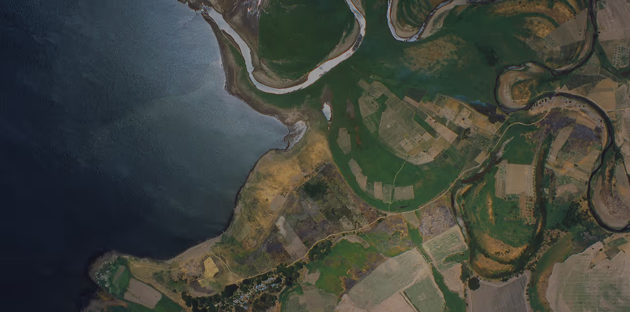
Geospatial intelligence for your global mining operations
UP42 and Vantor (formerly Maxar) discuss how to use high resolution satellite data for mining use cases, from exploration and site monitoring to slop stability analysis and environmental management.

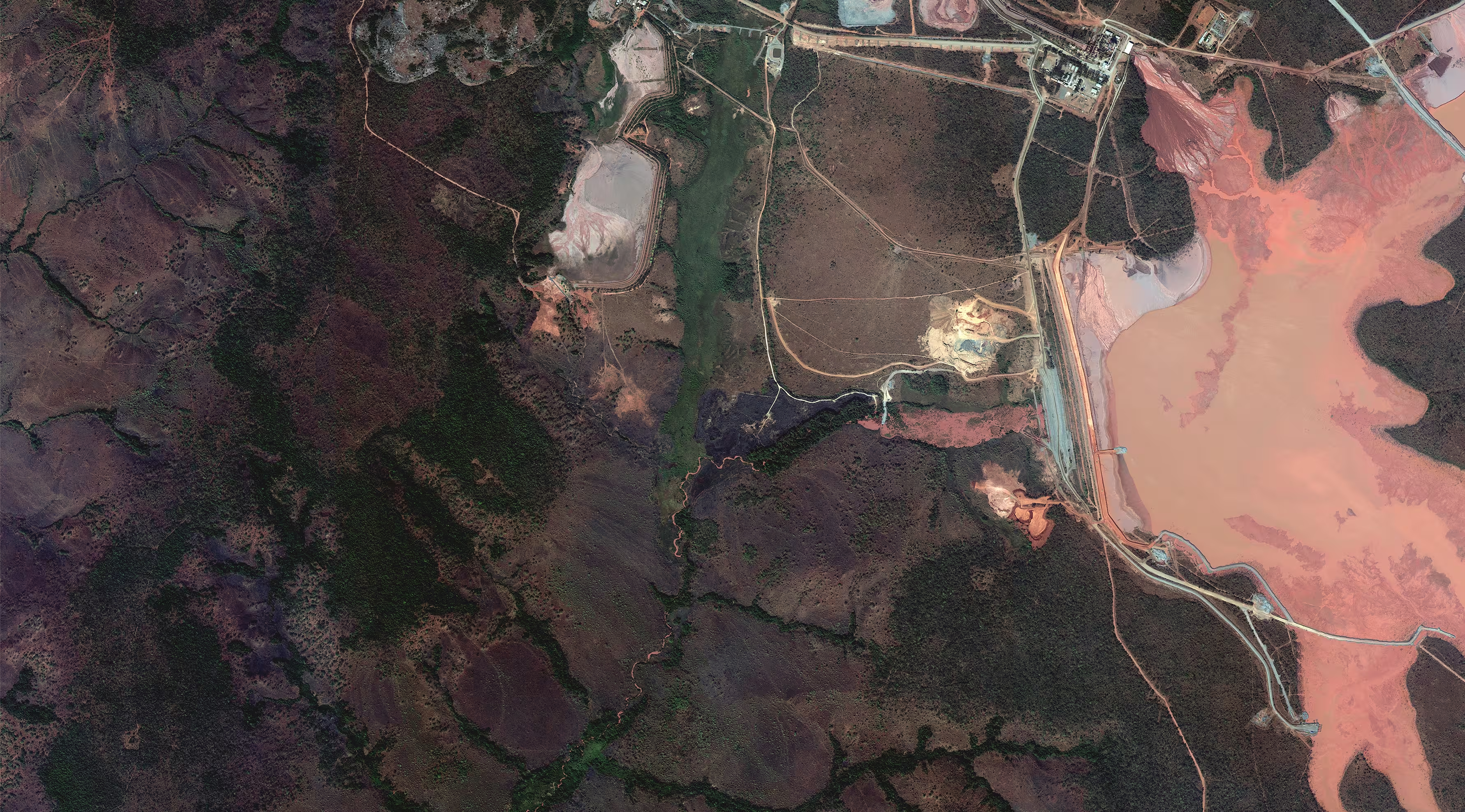
Key webinar takeaways
- End-to-end mine monitoring: See a live demo of how Vantor's high resolution imagery and elevation models support exploration, mine site monitoring, slope stability analysis, and environmental management.
- Unified data access: Learn how a single platform simplifies data access, procurement, and contract management, eliminating silos and redundant costs while making data easier to share across teams.
- Faster workflows: Discover how standardized data formats speed up downstream analysis and enable faster, more informed decision-making.
Our speakers
The session ends with a live Q&A with our expert speakers.
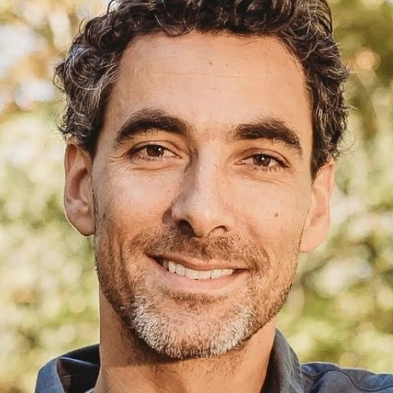
Alex Bishop leads the PreSales Engineering team at UP42, helping customers find their way to commercial remote sensing data through the UP42 platform. Alex joined UP42 as a PreSales Engineer in 2021 and took over the team in January 2026. Before that, Alex spent five years as a GIS Specialist and Field Scientist at e4sciences, monitoring natural systems and infrastructure. Earlier roles included GIS work at France's national research centre, CNRS, on reconstructing historical landscapes of the Rhône valley, and at the Maryland Geological Survey.

Janey Bessler is a Senior Solutions Architect Manager at Vantor, formerly Maxar Intelligence. She works with key strategic accounts around the world to match customers with the right Earth observation data solutions. She has spent ten years with the company and its predecessors. She joined DigitalGlobe in 2016 in imagery support and account services. After DigitalGlobe became part of Maxar Technologies, she moved into sales engineering there and went on to manage the team. Before that, she was a Data Analyst and GIS Technician at the water engineering firm Aquacraft in Boulder.
See for yourself how the UP42 platform works