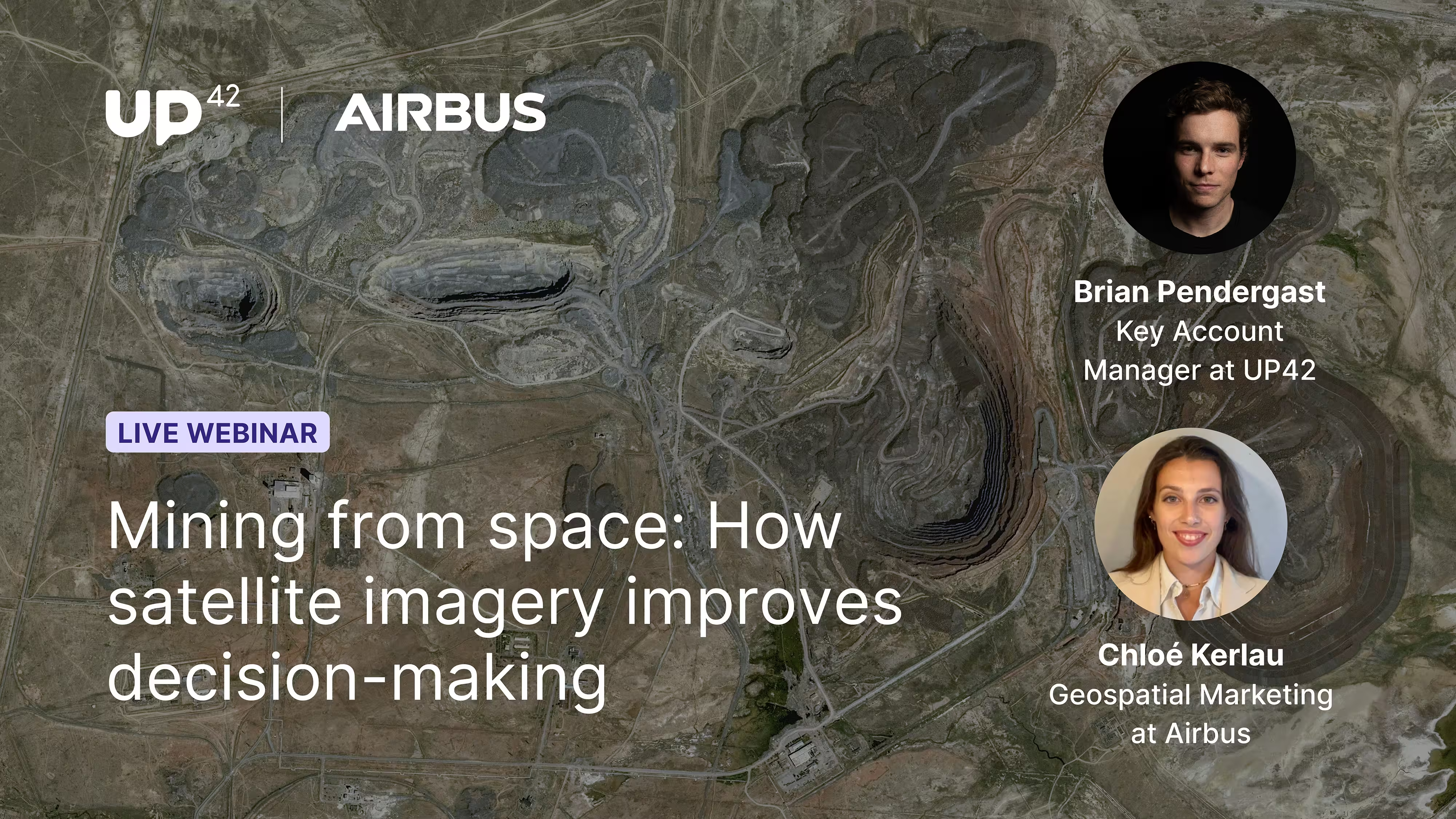
Mining from space: How satellite imagery improves decision-making
Combine optical and SAR data for all-weather site monitoring, simpler procurement, and analysis-ready results in your GIS.

Key webinar takeaways
- Integrated site monitoring: Learn to combine high resolution optical with SAR imagery for 24/7 visibility to enable everything from daily operations tracking to millimetric slope stability analysis, even through cloud cover.
- Centralized procurement: Streamline operations via a single platform for data access, management, and processing, ensuring global visibility and eliminating redundant spend.
- Operational interoperability: Discover how standardized data formats plug directly into your existing GIS to eliminate manual pre-processing and accelerate decision-making.
Our speakers
The session ends with a live Q&A with our expert speakers.

Chloé Kerlau works in External Communications at Airbus in Toulouse, covering media relations, web and social media content, and reporting on the company's media impact. Most recently, she worked in Geospatial Marketing for the Airbus Optical Constellation, which includes Pléiades Neo, Pléiades and SPOT. Before that, she managed digital communications for Skywise, Airbus's aviation data platform.

Brian Pendergast is a Key Account Manager at UP42, where he looks after some of the company's key customers. Before UP42, he spent more than two years as a GIS Engineer at Apple in Berlin. Earlier, he was a GIS Analyst at the engineering consultancy Golder in Calgary. He started his career as a GIS and Remote Sensing Technician at the Alberta Biodiversity Monitoring Institute.
See for yourself how the UP42 platform works