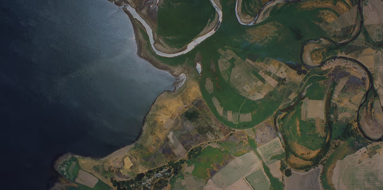
Powering urban planning with aerial data and photo-realistic 3D models
UP42 and PLW Modelworks show how aerial imagery becomes photo-accurate, geolocated 3D city models.


Key webinar takeaways
- From imagery to digital twin: See how PLW Modelworks turns aerial imagery into photo-accurate, geolocated 3D city models that closely mirror the real world.
- Location-specific applications: Learn how precise 3D content becomes a practical tool for advanced planning, analysis, and visualization.
- Centralized data access: Discover how a single platform unifies your geospatial data sources and workflows, eliminating silos, harmonizing data, and simplifying downstream integrations.
Our speakers
The session ends with a live Q&A with our expert speakers.

Alex Bishop leads the PreSales Engineering team at UP42, helping customers find their way to commercial remote sensing data through the UP42 platform. Alex joined UP42 as a PreSales Engineer in 2021 and took over the team in January 2026. Before that, Alex spent five years as a GIS Specialist and Field Scientist at e4sciences, monitoring natural systems and infrastructure. Earlier roles included GIS work at France's national research centre, CNRS, on reconstructing historical landscapes of the Rhône valley, and at the Maryland Geological Survey.
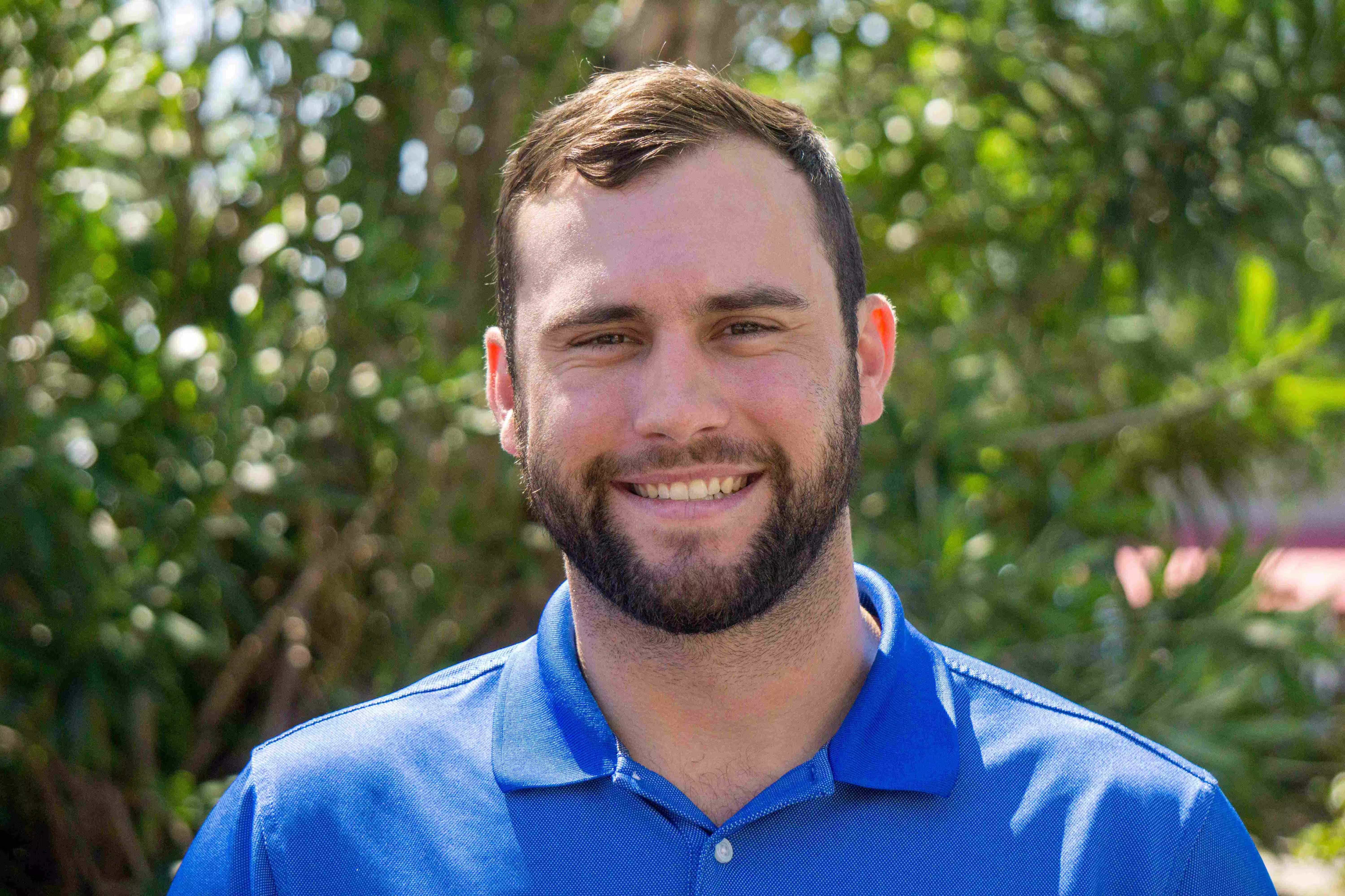
Stephen Nemethy is a Business Development Manager at PLW Modelworks, which builds photo-accurate, geolocated 3D city models, or digital twins. These are used in simulation, virtual reality, event planning and broadcast. He has held the role since 2019, after joining the company in 2017 as a Marketing and Sales Associate. In that role, he turned technical product capabilities into clear value propositions for customers, ran the company's trade show and event presence, and brought customer and market feedback back into the product roadmap.
See for yourself how the UP42 platform works