Analysis-ready data for faster insights
Learn how UP42 and Intermap convert Earth observation imagery into analysis-ready data, allowing for faster downstream integrations and improved insight extraction.
Key webinar takeaways
- Automated data standardization: Standardize multi-provider imagery into cloud-native formats for direct ingestion into GIS tools and analytical pipelines.
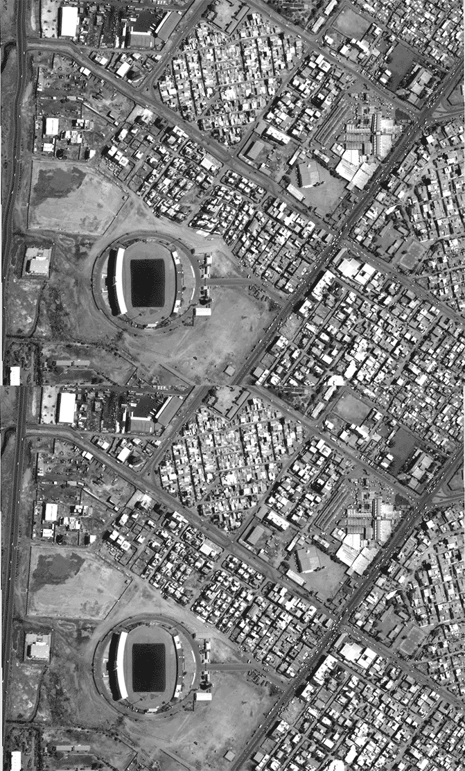
- Precision orthorectification: Watch Intermap demonstrate how NEXTMap 1m DTMs remove terrain displacement to deliver sub-pixel horizontal accuracy.
- End-to-end processing: Apply orthorectification, pansharpening, true color conversion, co-registration, and upsampling to increase model performance and cut costs.
Our speakers
The session ends with a live Q&A with our expert speakers.
Gordon Lawrence is a Senior Product Manager at UP42, focused on satellite data processing. He previously spent 11 years at Shell, starting as a North Sea exploration geoscientist. He then moved into Exploration Excellence, working on data integration, and later became Product Owner of GeoSigns, Shell's geospatial software for tracking the volume, value and risk of its exploration portfolio.

Ralph Hope is the Chief Technology Officer at Intermap Technologies, which provides digital terrain products and analytics. He has led the company's technology since 2018. Before that, he spent nearly ten years at BlackRock, most recently as Vice President and Business Manager for Global Capital Markets. Between the two, he was Director of Black Rabbit Digital Media. He started his career as a software developer, spending seven years as Leading Programmer at Total Systems plc.
See for yourself how the UP42 platform works