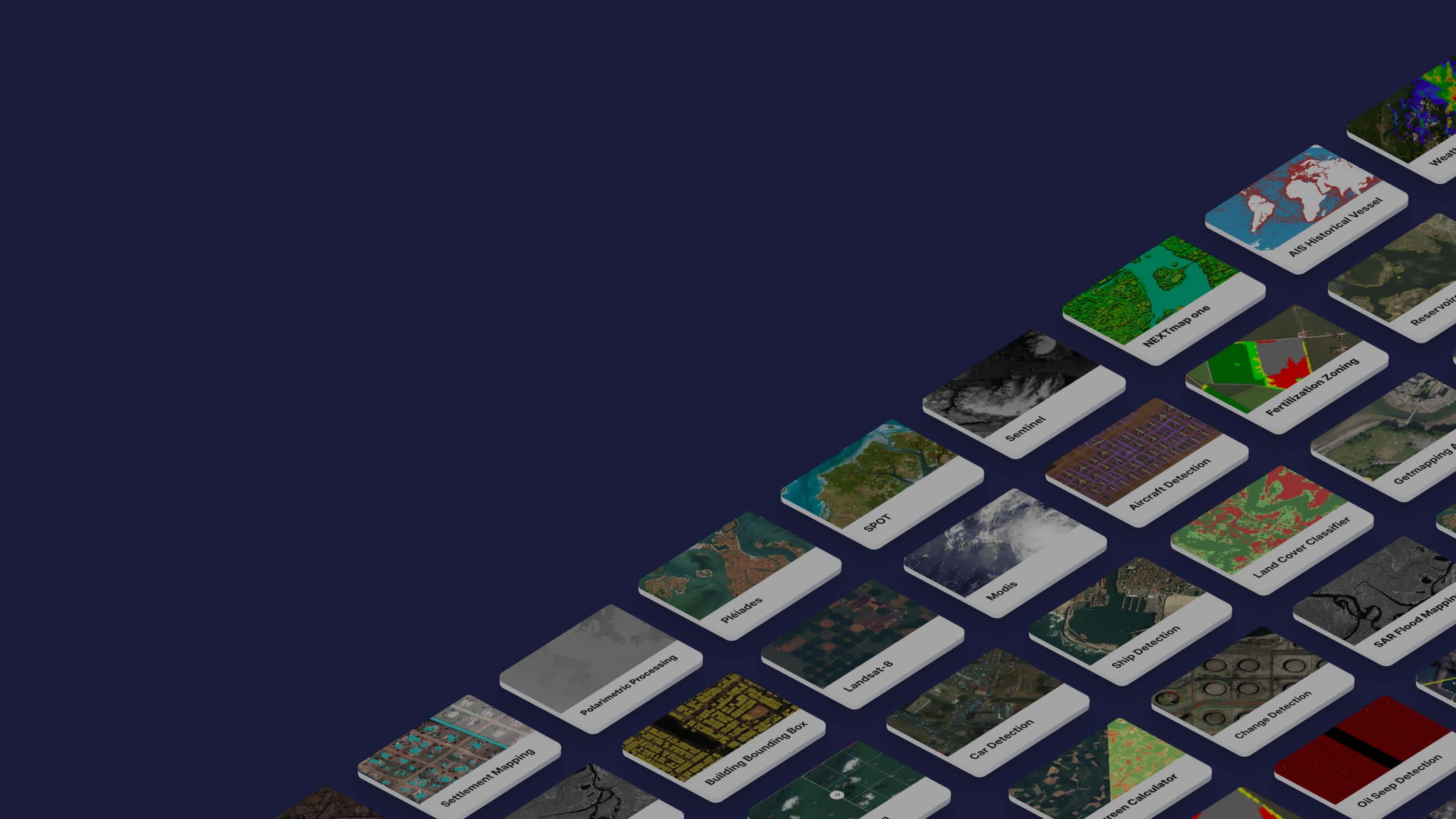
When we emerged from our beta phase just over a year ago, our marketplace had about 30 data and processing blocks mostly provided by UP42, Airbus, and amazing early partners, such as Simularity and Sobloo. Now, just one year later, we are extremely excited to announce that we’ve reached over 100 blocks with the launch of the Land Surface Temperature Estimation block by our brand new partner, Latitudo 40!
100 blocks from 30 partners and counting!
This growth has been made possible by new partnerships with geospatial industry giants. We’ve expanded the types of data available on the UP42 marketplace opening up new possibilities for our users, who are now able to easily access satellite and radar data, alongside high-resolution aerial imagery, map data, weather and ocean information and forecasts, AIS data, and more!
Additionally, a vast array of over 60 processing capabilities from pixel analytics to machine-learning algorithms enable our users to build analytics workflows that turn geospatial data into actionable insights.
 30 partners and counting
We continue to expand our efforts to bring on board new partners and offer our users the widest range of high-quality geospatial data and algorithms in the market. To achieve this, our data science team provides data and processing providers with an exemplary technical experience.
Built by UP42
Our partner blocks are supplemented by pre- and post-processing blocks implemented by our data science team. These blocks improve the interoperability between our partner blocks and enable quick and easy formatting of block outputs. Pre-processing blocks enable our users to prepare their data for the next step in their analytics workflow.
The backbone of geospatial products
Reaching 100 blocks, although a great achievement, would be arbitrary without a platform that offers a feature set that enables those blocks to be used effectively. With that in mind, we’ve been hard at work developing product features that make building geospatial products easier than ever.
 Search and discover archive imagery across data sources
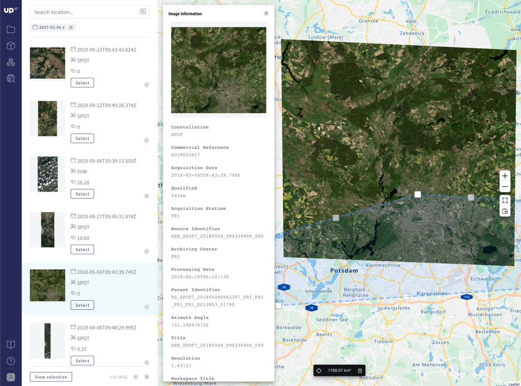
Firstly, our catalog search enables users to quickly search and discover archive imagery across data sources, using an interactive map to outline your AOI and allowing you to filter based on cloud cover and date range. Once you have exactly the data you need, our workflow builder provides a way, in just a few clicks, to build your analytics workflow, enabling you to quickly get from imagery to insight.
As you move from experimentation and prototyping in the console to deployment, the Python SDK provides the toolkit that allows the products you build with UP42 to scale. All the functionality within the console and more can be accessed through Jupyter notebooks or the command-line interface of your choice. With features, such as image mosaicking and job parallelization, the Python SDK supports the building of scalable, production-ready geospatial products.
Learning from inspirational customers
Our product development and the expansion of our network of partners is spurred on by our customers who are building incredibly powerful products on UP42. Customers, such as AIDash, who are building solutions utilizing satellite data to manage vegetation along powerlines, shape the direction of UP42. It’s so exciting to see other customers, such as LiveEO, building solutions on UP42’s technology that are delivering significant, measurable business value to massive global corporations, like Deutsche Bahn. These customers enable us to be laser-focused on the features and blocks that truly provide value.
What’s next for UP42?
We’re super excited to keep building a platform and marketplace that enables geospatial product builders. So, on that note, let’s take a look at where UP42 is heading. Well, of course, we are constantly expanding our partner network so keep your eyes peeled for some big announcements in the next couple of months!
Additionally, our data science team is working hard to expand the algorithms we offer on the marketplace. We’ll be developing more UP42 blocks that offer additional classic remote sensing analyses as well as cutting-edge deep-learning algorithms.
On the product side, we’re developing several features that will take the product to another level of enterprise-readiness. From increased predictability around pricing to ensuring smoother collaboration between your team, we are excited to, in the near future, share a lot of powerful features that are truly unique in the geospatial analytics industry.
Finally, we want to hear from you. The evolution of UP42 is in your hands. What features, data, or processing capabilities would you like to see when we announce our 200th, 500th, or 1000th marketplace block? Through our contact form, you can now vote on desired features, provide feedback on existing features, or suggest completely new ideas.


