An edited version of this article was originally published on Outlook India on the occasion of International Day for Universal Access to Information (IDUAI).
Accessible EO data is fundamental for addressing critical challenges
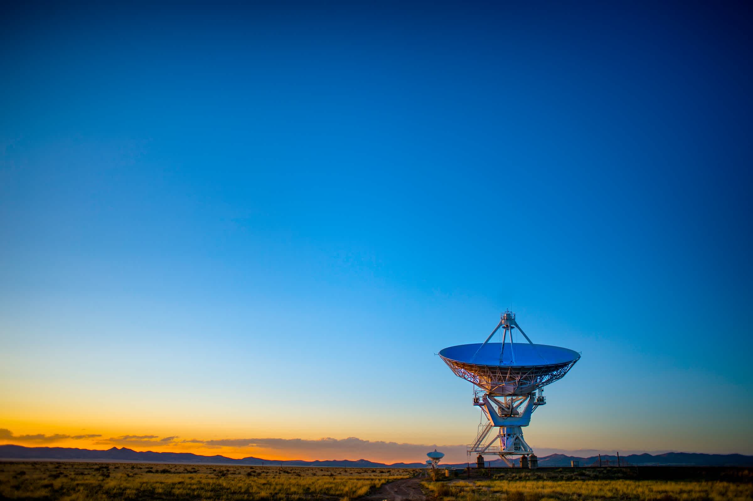
 Image by Tuna Ölger
We may not always realize it, but every day, we depend on earth observation data. Choosing the best routes, locating hospitals, and receiving weather updates are all thanks to earth observation.
Earth observation (EO) entails measuring the Earth’s natural and man-made environments to assess their status and track changes. Balloons, airplanes, ships, floats, drones, and satellites are a few platforms used for data collection. EO data is key to understanding the Earth and finds application in various areas.
In particular, insights derived from earth observation data supported---and still supports---response and recovery actions related to the COVID-19 pandemic. Where are the confirmed cases? What are the movement patterns? Where are health facilities? What are the best routes for emergency services? Which areas have a higher transmission risk?---Are some pertinent questions answered by EO data. The pandemic indeed highlighted the importance of access to reliable information.
Recognizing the significance of access to information, the United Nations declared 28 September as International Day for Universal Access to Information (IDUAI). This year's theme is The Right to Know--Building Back Better with Access to Information. As the world builds back from the pandemic, access to EO data is paramount.
Let us take a closer look at the factors accelerating access to EO data, the socio-economic benefits of EO data access, and the need for standards.
Democratized Access to EO Data: Enabling Factors
Democratization entails making EO data easily accessible to everyone. But simply giving access is not enough. The users should be able to extract insights. The problem is, extracting insights requires specialized skills and resources. Furthermore, there are various EO data providers, making it challenging to combine datasets.
Despite the challenges, it is not all gloom and doom. Several factors are making EO data more accessible and user-friendly.
Machine learning algorithms and scalable cloud technologies have made it possible to process enormous volumes of EO data collected by satellites. For example, Copernicus satellites produce 12 terabytes of data per day, which would be impossible to analyze without these technologies.
Another factor is the rise of platforms that aggregate and distribute EO data and processing algorithms. These platforms make it easy to combine and analyze datasets from multiple data providers at scale to derive new insights.
Additionally, several providers are making their EO data accessible for free: In 2008, the U.S. Geological Survey made data from its Landsat satellites free to use. The European Space Agency (ESA) also adopted a free and open data policy for its Sentinel data.
Finally, partnerships between the government and commercial data providers (such as Norway's partnership with Planet) to provide EO data to the public further stimulates the accessibility and utilization of EO data.
From Data to Insights: The Socio-Economic Benefits of Democratizing Access to EO Data
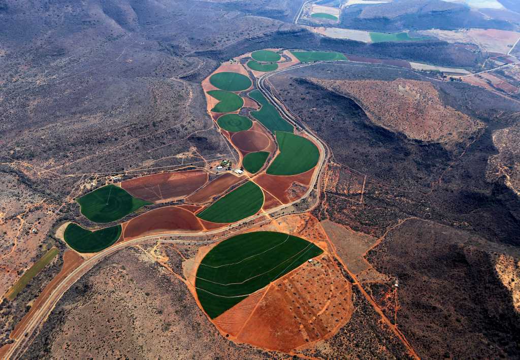
 Image by Pexels
Earth observation supports evidence-based decision-making, which leads to socio-economic benefits. While quantifying these benefits remains a challenge, a study by AlphaBeta reports that in 2016, the geospatial services industry generated a revenue of US$400 billion.
In addition, the Group on Earth Observations and the Committee on Earth Observation Satellites established that earth observation data can support and inform official statistics and indicators of Sustainable Development Goals (SDGs). This would save money spent on traditional data collection methods that are time-consuming and expensive.
More importantly, EO can provide the data needed to address critical challenges like climate change, deforestation, food security, and natural disasters.
Statistics by the United Nations show that in 2020, 2.37 billion people did not have food or could not feed on a balanced diet regularly. Of these, 70-161 million people are likely to have experienced hunger because of the pandemic. With food insecurity on the rise, agricultural production has to increase to keep up with the demand.
Optimizing yields and protecting crops from adverse weather effects is therefore critical. Easily accessible EO data makes it possible to derive insights on crop health, weather, and soil conditions. Putting such actionable insights into the hands of farmers can lead to increased food production benefiting entire communities. An example is the Gezira project, where farmers quadrupled their wheat yields while conserving water and other inputs due to satellite insights.
Climate monitoring and management of climate-related disasters is another area that benefits from accessible EO data. Earth observations provide rich data on greenhouse gas emissions, forests, sea levels, and glaciers, which are crucial for climate monitoring in the long term.
In the short term, access to EO data plays a crucial role in tracking and responding to climate-related disasters---such as flooding, wildfires, and storms---saving lives and reducing property damage. AlphaBeta reports that in 2016, emergency response times decreased by 20% because of geospatial services.
These are just a few on the long list of benefits of democratizing access to EO data. To realize the full potential of EO calls for data integration, which is impossible without standards.
A Solid Foundation: The Need for Standards
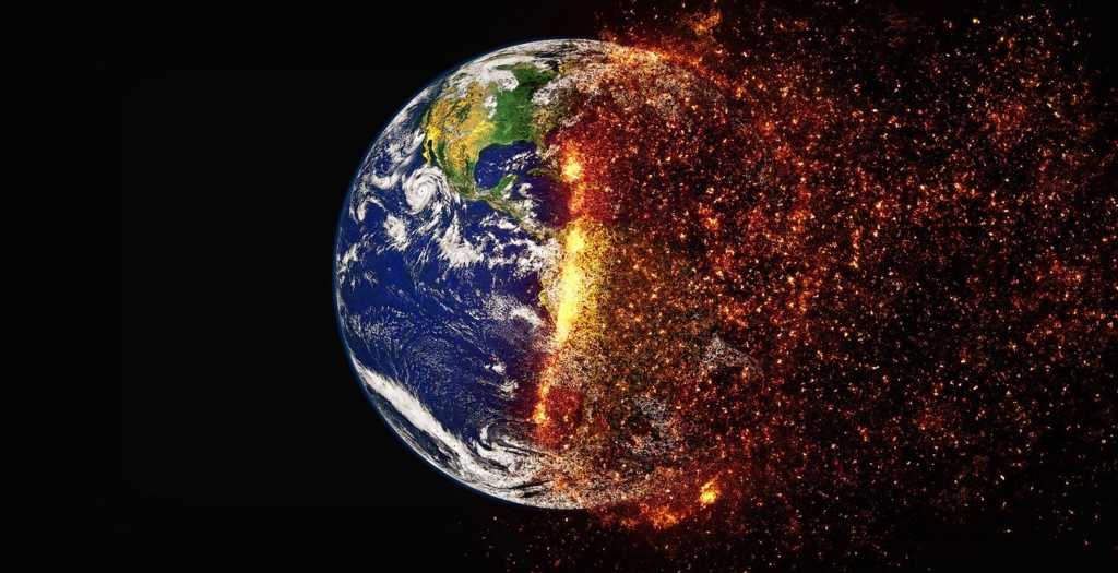
 Image by Katerwursty
EO data is collected from different locations, using different sensors, in different formats. Integrating such disparate datasets is a challenge. The only way to overcome this challenge is by agreeing on and adopting a set of standards.
Standards are the foundation of democratized access. They unlock the benefits of EO data for all. To quote the CEO of the Open Geospatial Consortium, Dr. Nadine Alameh, in a Geospatial World article, "I believe that the only way we can address global threats like Climate Change or future pandemics at the global scale is if data is made available using open standards. As long as there are problems that transcend the boundaries of departments, organizations, agencies, countries, and/or continents, we will need agreed-upon standards to be able to share information and implement solutions at those scales."
Indeed, building back better calls for collaboration. Standards remove the communication barrier, unlocking new insights.
Towards Increased Access to EO Data
There are many advantages to democratizing access to EO data. The main one being that it makes it easy for people and data to come together. Access can empower people and organizations to innovate, promote sustainable development and spur economic growth.
While great strides have been made towards increasing access to EO data, what can be done to push for more access? Are the existing regulatory frameworks and standards adequate? And how do we measure progress and recognize success?


