Supporting Smallholder Farms with Consulting and Technologies
2.37 billion people are without food or unable to regularly eat a healthy, balanced diet.
This harrowing fact is just one of many that define the global food security concerns noted in the United Nations' sustainable development goals.
The second of these goals—-"zero hunger"—-aims to end hunger, achieve food security and improved nutrition, and promote sustainable agriculture. Considering that about one-third of the world's food is produced on smallholder farms, supporting local farmers is imperative to turning this goal into a reality.
That support includes making sure smallholder farms have the right tools and technologies to increase crop yields, save resources, and manage their field use.
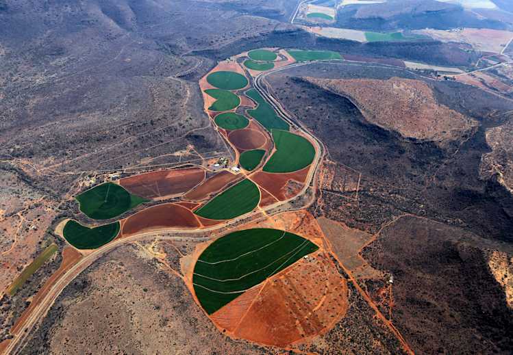
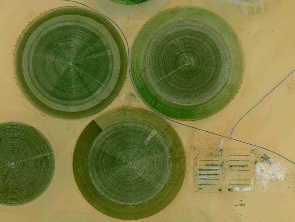
Earth observation data such as satellite imagery, aerial imagery, and weather data can support farming and agriculture in a way that goes beyond a single plot of land. Instead, it provides a global lens to view production issues and find the best solution.
Consider this scenario: a farmer in Ghana has a cocoa crop that's experiencing a pest problem. One solution is to use pesticides, which solves the problem at the surface level but doesn't address the root cause.
Using satellite data, however, allows you to look at the entire ecosystem and fully understand the problem. Pests aren't likely to occur because of the ecosystem itself. Instead, there's probably been a disturbance to the system that causes the pests. While the pesticides can destroy the topsoil and harm other species in the ecosystem, using satellite data to understand the changes in the location over time can reveal the true cause that needs to be addressed.
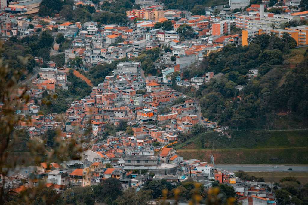
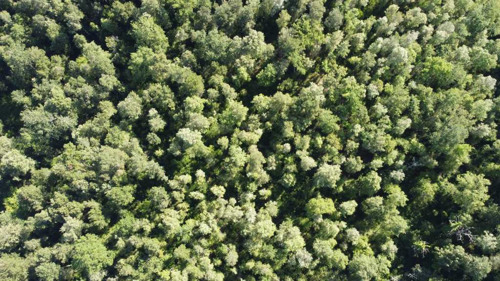
The ability to consider the impact of actions on the entire ecosystem from a 500-600 kilometer-high view is the real benefit of satellite imagery. With Earth observation systems, you can view how different land areas—-forests, grasslands, crop fields, and human dwellings—-work together to protect the sustainability of the ecosystem for the long term.

Getting Earth Observation Data and Analytics into the Hands of Farmers
Obtaining Earth observation data can be difficult for smaller organizations or individuals. Typically, commercial satellite imagery providers have complicated and manual processes that cater to bigger customers willing to purchase large amounts of data at once.
For smaller customers with a lower budget that are looking to experiment with their ideas, this process can be nearly impossible to navigate.
To get the benefit of data access to the smallholder farms, it's best to collaborate with local start-ups that offer agriculture services and applications. Working with someone on the ground will give you a strong understanding of the problems that local farmers are facing so that you can help provide the right solution.
Earlier this year, we had the chance to work with three farming-related start-ups in Africa through our collaboration with the Deutsche Gesellschaft für Internationale Zusammenarbeit GmbH (German Society for International Cooperation), also known as GIZ. Together, we created the GIZ Make-IT in Africa project to democratize access to commercial data and resources for participants.
Through the program, we provided access to commercial data through our developer platform as well as months of training to help the start-ups:
- Understand the data
- Scale-up data processing
- Experiment with their application ideas
- Train and develop deep learning models for data analytics
- See real-world examples of machine learning-based crop yield prediction
With the help of the program, the start-ups gained a better understanding and solid start to using Earth observation data and remote sensing to aid farmers in their countries.
 Satellite image of Kilimanjaro, Tanzania by USGS
A Closer Look at GIZ Make-IT in Africa Participants
Just as satellite data supports the health and growth of ecosystems, the field of Earth observation itself is as an ecosystem. The companies both providing and receiving data and technologies must act together for the benefit of the communities that the end solutions will impact.
Here are a few examples of companies within that ecosystem that we supported as part of the GIZ Make-IT in Africa project.
HeHe, a Rwandan start-up, is operating an eCommerce platform for consumers to choose agricultural products. Through the program, they wanted to optimize logistics while maximizing income for smallholder farms. So far, the organization has received support to develop crop yield prediction algorithms to help them better plan and deliver crops to consumers.
Based in Ghana, GrowForMe is an investment platform that attracts sponsors for smallholder farms. These sponsors share in the profits as well as the risks from the farms. To help sponsors with decision-making, GrowForMe is using remote sensing of satellite imagery for farm risk assessment.
Lastly, Nigerian-based Crop2Cash makes credit and insurance accessible to smallholder farmers. Through their use of time-series satellite data, they're working to get historical yield data that farmers can use to support their applications to financial and insurance institutions.
As with each of these companies, access to Earth observation data is important, but empowering companies to work with it is critical. The focus should be on providing the tools and understanding so they can develop their own solutions.
When supporting these companies, it's also important not to supply them with generic "paint by numbers" technology. Instead, be humble and seek to understand where and how you can help.
It's an honor to be part of initiatives like these aimed at solving real-world problems with Earth observation data. Check out our blog to stay up-to-date on similar initiatives to put Earth observation data into the hands of those who need it most.


