UP42 announces a key partnership in agritech with Vultus and the launch of their new block, Fertilization Zoning Maps.
As well as bringing you industry-leading data providers, here at UP42, we’re constantly expanding the variety of processing capabilities available on our marketplace. We’re showcasing a new UP42 partner and an emerging leader in the agritech industry, Vultus! Vultus enables precision agriculture through the use of satellite imagery and cutting-edge algorithms. This partnership enables UP42 users to leverage Vultus’s processing capabilities on Sentinel-2 L2 (BOA) imagery to get actionable insights about crop fertilizer requirements.
Vultus’s growth has been meteoric, having gained international industry and commercial recognition, including Copernicus Masters finalists in 2018, the Horizon 2020 Seal of Excellence, and Robert Schmitt, Vultus CEO, recently winning an award for Sweden's best agritech entrepreneur. UP42 is extremely excited to bring technology from such a disruptive company in the geospatial industry to you.
How does the Fertilization Zoning block work?
Increasing fertilizer costs have squeezed farmers’ already-tight profit margins. Conventional large-scale farming methods uniformly apply fertilizer, while smaller farmers may manually determine which areas of fields require more or less fertilizer. However, as Vultus’s algorithms show, there is significant variability in the fertilizer requirements from some areas of farmland to others, even when the crop type is constant.
Vultus’s cutting-edge analytics, now available on the UP42 platform, provide farmers with automated, actionable insights regarding fertilizer requirements. Based on 5 years of historical data and 3 years of extensive research, the algorithm leverages plant health index and artificial intelligence to generate 5 zones of varying fertilization needs within a given field. These zones are formulated from predefined thresholds and can be interpreted as the following:

Fertilization Zoning Map Legend
*** Whilst this may seem counterintuitive, the zoning is in fact based on the U shaped curve of nitrogen fertilization.*
Understanding the diverse requirements within a field allows for better placement of nutrients and consequently, improved nutrient uptake during the vegetative stage of crop growth. This leads to a litany of features and benefits:
Key Features and Benefits
- Increased crop yields of 3-5%
- Reduction in fertilizer costs by up to ⅓
- Detection of both low & high performing areas to understand intra-field variability
- Reduction in greenhouse gas emissions, soil acidification, and water pollution

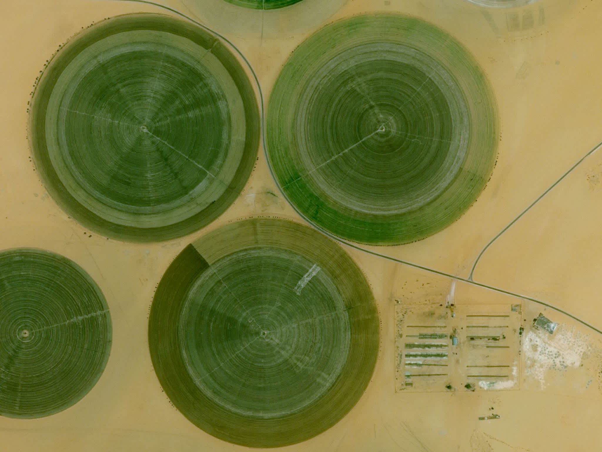
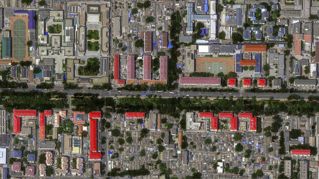
Above: Sentinel-2 Imagery vs. Fertilization Zoning Map from Vultus for Northern Germany
Get started
We are building the most comprehensive, scalable, and developer-friendly geospatial marketplace and platform. If you are interested in working with geospatial data or are already a geospatial expert, you can sign up on UP42 for free!


