UP42 and Maxar partner to broaden global access to the most advanced commercial Geospatial Intelligence
UP42 customers are now able to task Maxar’s industry-leading constellation and access very high-resolution imagery to deliver mission-critical insights in near real-time.
Berlin, Germany, and Westminster, Colo., April 30, 2025 -- UP42 has partnered with Maxar, the leading provider of secure, precise geospatial insights, to make Maxar’s very high-resolution satellite imagery and tasking products available in the UP42 platform, broadening global access to the most advanced commercial geospatial intelligence.
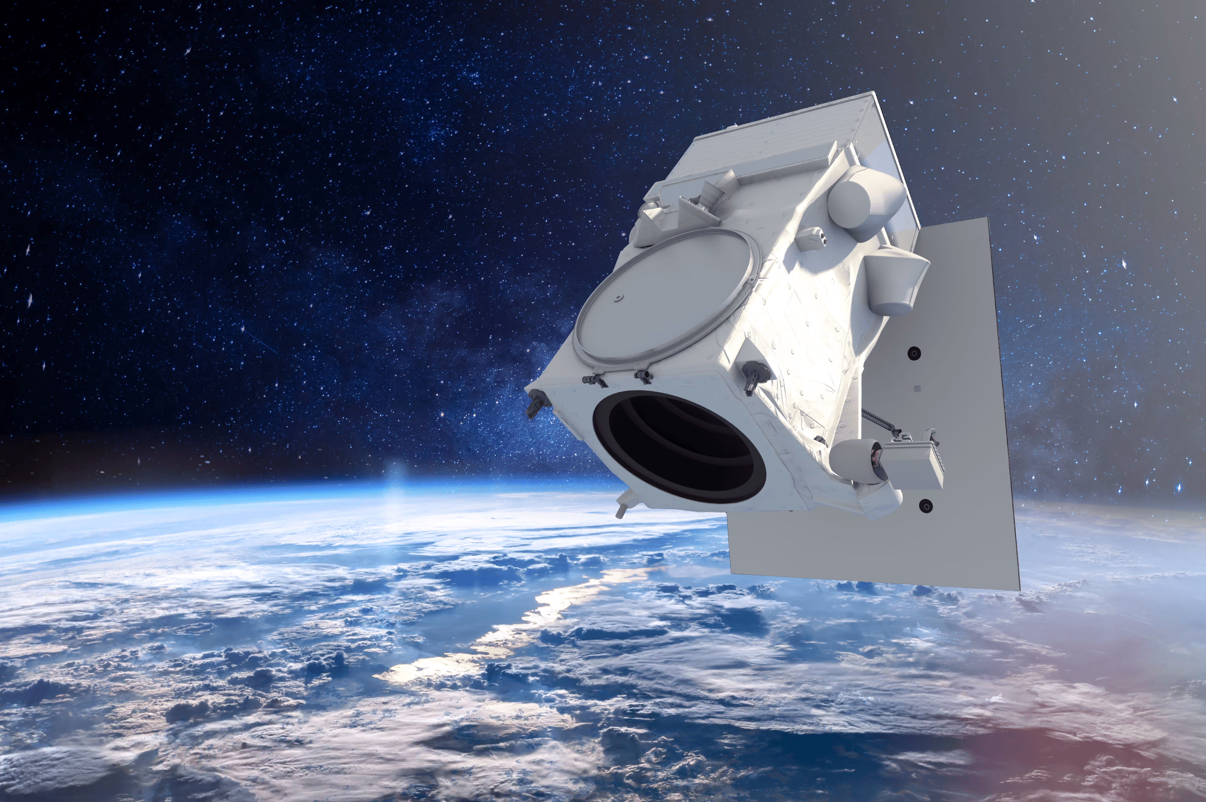
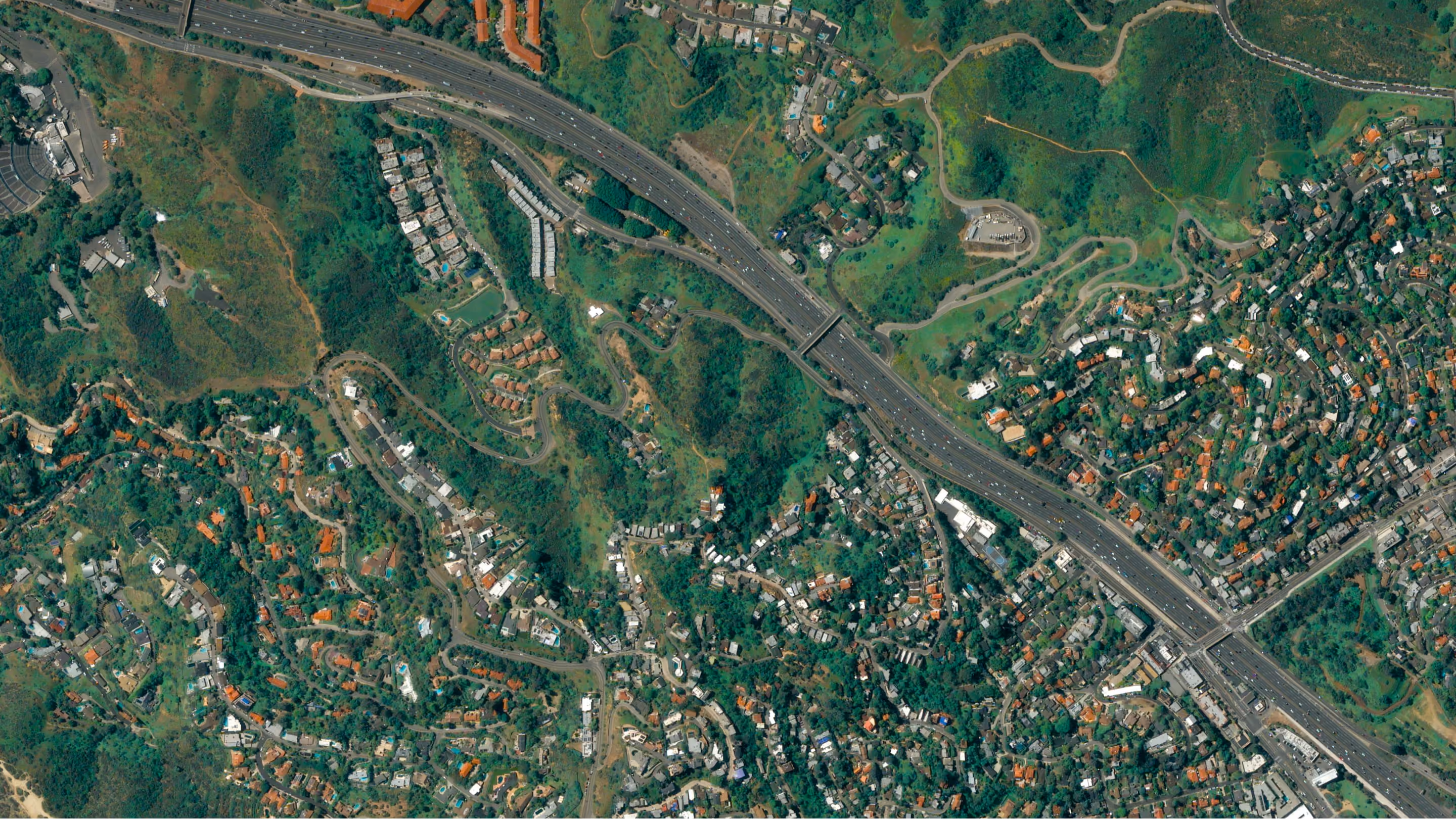
UP42 customers can now directly task Maxar’s very high-resolution constellation, including its WorldView Legion satellites. With Maxar’s constellation able to revisit some Earth locations up to 15 times per day, UP42 customers will be able to access this advanced geospatial intelligence in near real-time. Soon, customers will also be able to order 30 cm-class and 50 cm-class imagery from Maxar’s archive, which can be combined with advanced AI and machine learning technologies to analyze patterns of life.
"Maxar’s integration marks a major milestone for UP42, providing our customers with greater flexibility, scale, and precision," said Jussi Koski, CPO at UP42. "The ability to directly task Maxar satellites, along with upcoming archive access, makes UP42 a comprehensive source for leading geospatial data."
UP42’s streamlined satellite tasking interface unlocks multi-AOI uploads, instant price estimates, and order tracking. This enables customers across civil government and a wide range of commercial industries—including oil, gas, mining and energy—to tackle some of their biggest real-world challenges, from infrastructure monitoring to environmental compliance.
“UP42 is a mission-critical partner for civil and commercial customers around the world, and by joining Maxar’s Partner Ecosystem, UP42 can give those customers access to more advanced geospatial intelligence that helps them act and decide with more confidence,” said Anders Linder, SVP and General Manager of Maxar Intelligence’s International Government business.
Customers can now task Maxar’s very high-resolution multispectral and panchromatic imagery on the UP42 platform in both mono and stereo formats.
To learn more, please visit https://up42.com/marketplace/data/tasking/maxar-tasking.
For all media inquiries, please contact:
Dobrina Laleva
Senior Product Marketing Manager, UP42
dobrina.laleva@up42.com
About UP42
UP42 was founded in 2019 with a clear purpose: to transform how organizations order, access, and analyze Earth observation data. Our platform brings together the world’s leading geospatial providers, and offers a single touchpoint to access, manage, and process data at scale. From vegetation management and infrastructure monitoring to disaster response, UP42 helps organizations across industries find solutions to complex problems through Earth observation. Our expert support team and detailed documentation guide our users through every step. Visit us at www.up42.com.
About Maxar Intelligence
Maxar Intelligence is a leading provider of secure, precise geospatial insights. Operating the most advanced commercial Earth observation constellation on orbit, we use the power of very high-resolution satellite imagery and software technology to deliver mission success on Earth and in space. Our secure, AI-powered products and services deliver ground truth in near real-time to keep nations safe, improve navigation, protect our planet, speed up disaster response and more. For more information, visit www.maxar.com.
Related posts


Subscribe to our newsletter
Stay up to date and learn about our fast-growing new features
