Reduce complexity of ordering imagery
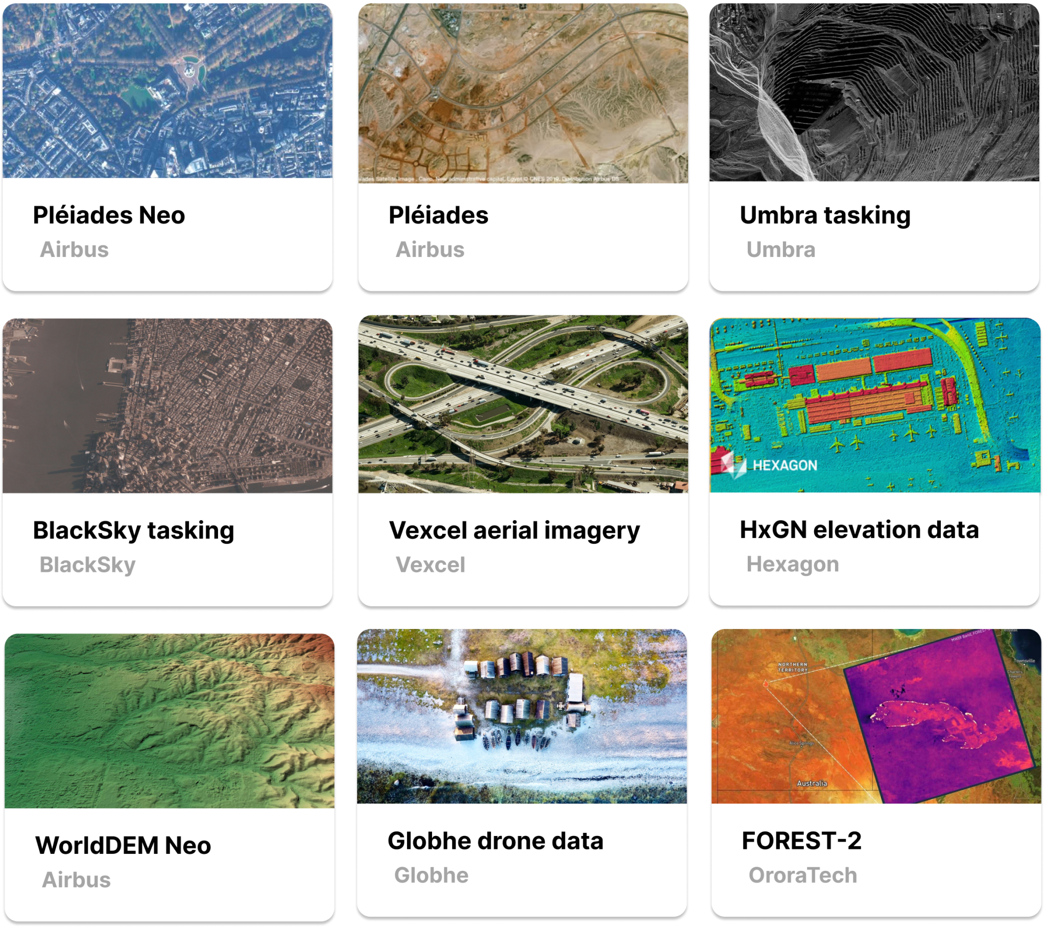
With a wide selection of data from VHR imagery, to DEMs, SAR, and more, take your solution to the next level by pairing datasets from our diverse marketplace.
UP42 provides simplified access to world's best geospatial data and analytics. We serve some of the biggest infrastructure and construction projects in the world. We empower our customers to develop solutions faster and win more projects.
UP42 PLATFORM
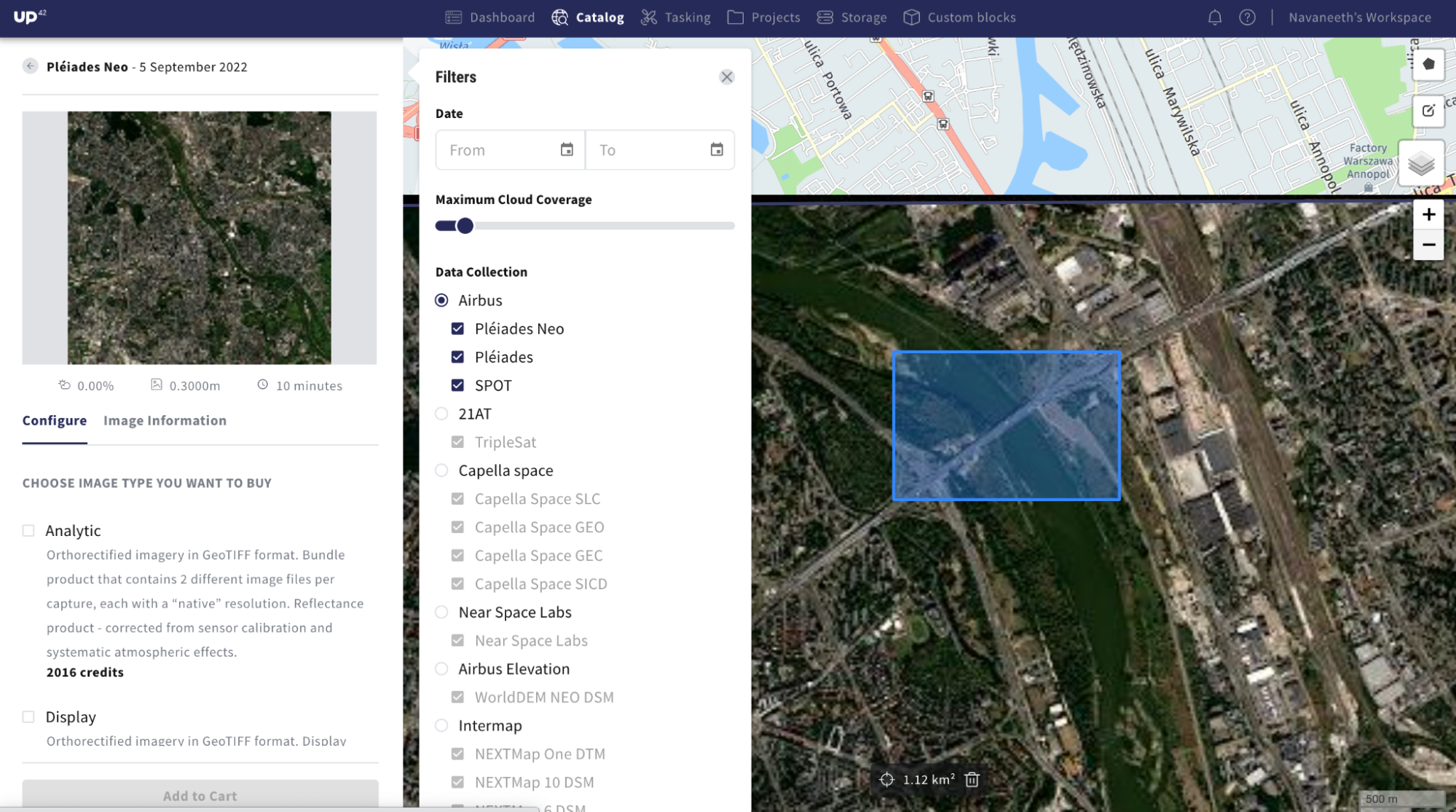
UP42's geospatial platform offers a single touchpoint to order optical, SAR, aerial, and elevation imagery.
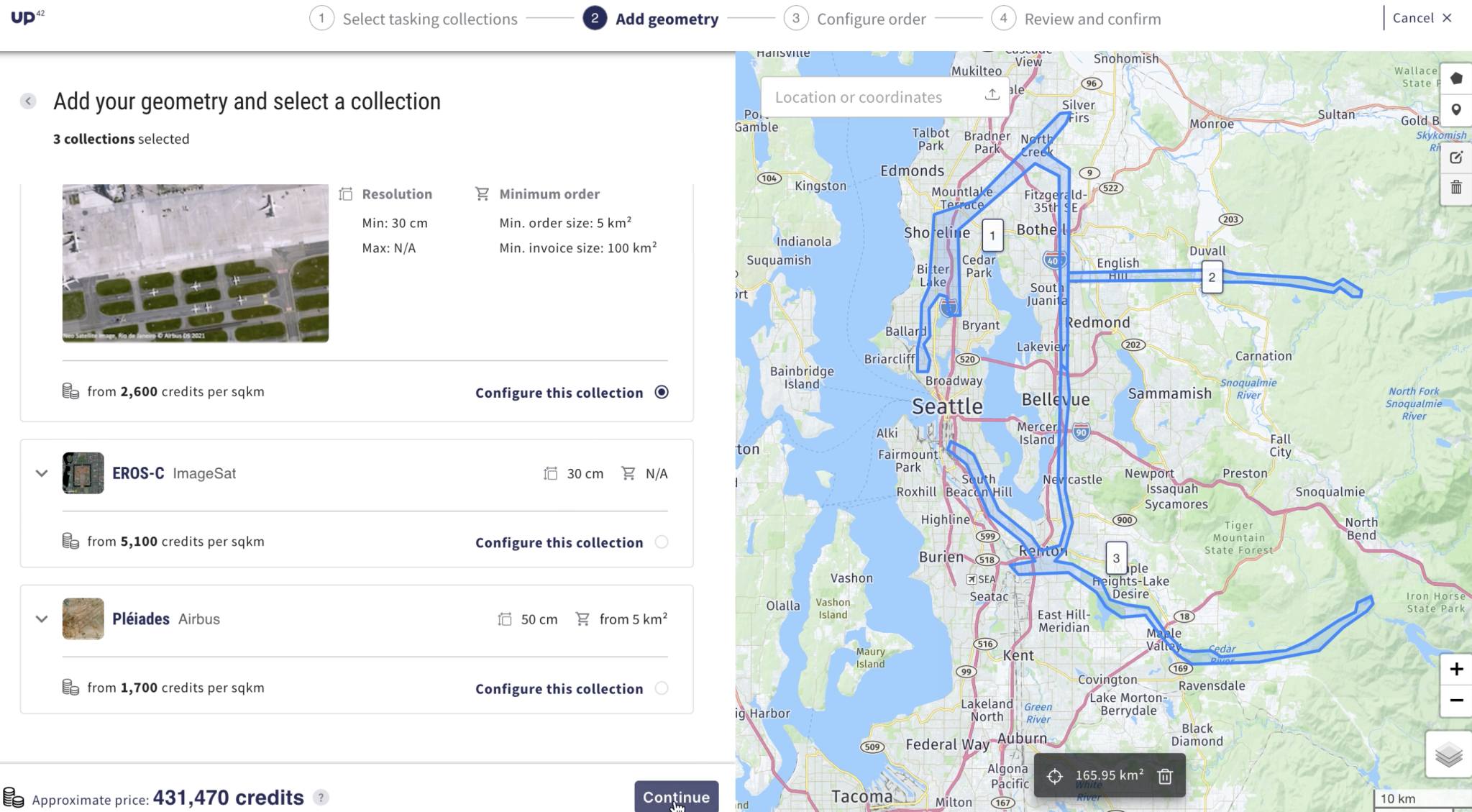
From construction planning to ensuring compliance, our customers leverage UP42 data to use them in various parts of engineering and construction projects. When existing archive imagery is not feasible, we help you order new imagery with our innovative satellite tasking platform.
There are a lot of uncertainties to deal with in the project planning phase. UP42 offers a fast, cost-efficient way to investigate project site conditions. The variety of collections we offer lets you conduct planning and feasibility studies for remote areas where base data is not suitable.
The combination of stereo and elevation data that we offer is used by our customers to develop cutting edge infrastructure monitoring solutions. If your project calls for repeat monitoring, you can place place orders through our innovative cross-sensor tasking platform to download the data you need.
Once your project has started, it is important to stay on top of construction progress and make informed decisions. The high precision collections we offer like Pléiades Neo lets you continuously track and assess ground activity, right of way, and environmental impact for better decision making.
Want to get a quote?
With a wide selection of data from VHR imagery, to DEMs, SAR, and more, take your solution to the next level by pairing datasets from our diverse marketplace.
You have flexible options to place orders with UP42. Access our intuitive console, comprehensive API, or python SDK to order imagery.
Our in-house team of GIS experts will guide you throughout your development journey with contextual insights and tailored input based on your use case.
UP42 and Esri integration
Seamless integration with ArcGIS Pro
ArcGIS Pro users can now directly access UP42 and order geospatial imagery, without leaving their Esri environment.
The UP42 add-in for ArcGIS Pro offers users an easy, intuitive way to simplify and streamline their data access and visualization workflows. After ordering geospatial imagery from leading providers on the UP42 platform, ArcGIS Pro users can leverage this add-in to visualize the data, perform further analyses, and share the results with relevant stakeholders. Find out more here.
Customer stories
“UP42 offers us a whole new way to deliver new space solutions to our clients. By providing us with easy access to high-quality geospatial data, we can run our code, receive results, and scale up our processes. With API-based access and price transparency, UP42 is democratizing access to geospatial data and the potential applications are endless.” Read more.
Daniel Seidel, Co-Founder LiveEO